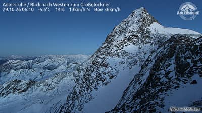
Adlersruhe - Vue vers l'ouest sur le Großglockner
Carinthia, Austria — 4.2 km
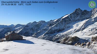
Oberwalderhütte - Vue vers le sud sur le Großglockner
🇦🇹 Carinthia · Austria — Altitude 2973 m
This camera looks south from the Oberwalderhütte, a high mountain hut in Carinthia, toward the Großglockner, Austria's highest peak. It is useful for anyone planning a visit to the Hohe Tauern or wanting to see how the summit looks right now. The stream is embedded from its owner, foto-webcam.eu.
The Oberwalderhütte stands at roughly 2,970 metres in the Hohe Tauern range, part of the Austrian Alps. The Großglockner, at just over 3,700 metres, is the country's highest mountain and dominates the skyline here with glaciers, steep rock faces and high alpine meadows. The region is known for the Großglockner High Alpine Road and for its long tradition of mountain hiking and mountaineering. Carinthia, the federal state it belongs to, is one of the greener and more lake-rich parts of the country.
Depending on the view, the camera may show the summit massif, snowfields, cloud movement over the peaks and changing light through the day. Morning often brings clearer air and crisp shadows on the rock, while afternoon clouds frequently build up over the high ridges. Summer offers the most activity on the trails below the hut, and winter shows a fully snow-covered landscape. Watching the sky here is a good way to judge whether the summit is visible.
The hut is best reached on foot in the summer hiking season, when paths are generally open, and conditions at altitude can change quickly even on warm days. Expect cool temperatures and strong wind at this height, and check the local forecast before setting out. Other cameras in the same area include Adlersruhe, Großglockner KFJ-Höhe and Freiwandeck, all within a few kilometres, which give different angles on the same mountain.
Source: foto-webcam.eu
Carinthia, Austria — 4.2 km
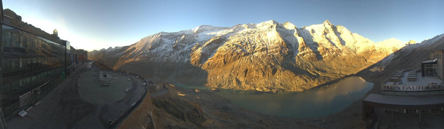
Carinthia, Austria — 4.3 km
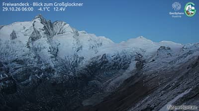
Carinthia, Austria — 4.4 km
Salzburg, Austria — 6.5 km
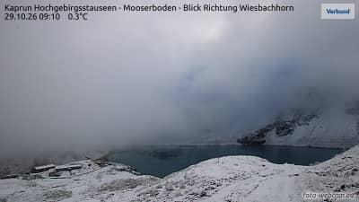
Salzburg, Austria — 6.7 km
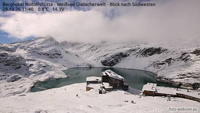
Salzburg, Austria — 7.4 km

Salzburg, Austria — 8.4 km
Salzburg, Austria — 8.5 km

Salzburg, Austria — 9 km
Salzburg, Austria — 9.6 km
The current conditions and three-day forecast are shown in the live weather block on this page. Mountain weather can change quickly, so check it before planning a walk.
The local time is displayed on this page and updates automatically for the camera's location in Austria. It follows the Central European time zone.
The camera is at the Oberwalderhütte in Carinthia, Austria, at about 2,970 metres altitude in the Hohe Tauern, with the Großglockner to the south. The exact position is marked on the map on this page.
Clear mornings and summer months are often the most rewarding, when the summit is more likely to be visible. Late afternoon can bring cloud build-up over the peaks.
Partner links: we may earn a commission at no extra cost to you.