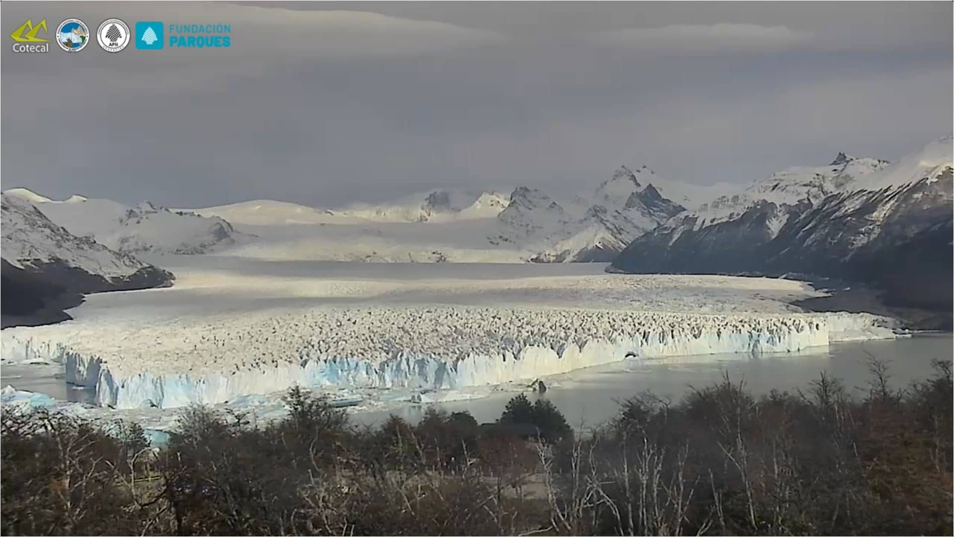
Puerto Bandera - Glacier Perito Moreno
Santa Cruz, Argentina — 126 km
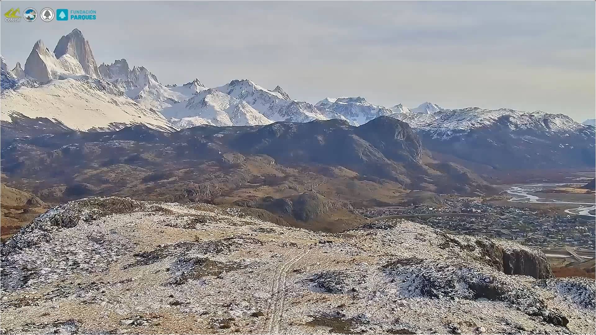
🇦🇷 Santa Cruz · Argentina — Altitude 408 m
This live camera looks over El Chaltén, a small village at the foot of the Fitz Roy massif in the Argentine Patagonia. It is a useful place to check conditions before a hike, because the mountains often change their appearance within minutes. The page adds local time and the current forecast next to the stream.
El Chaltén sits in the Andes near the border with Chile, in the province of Santa Cruz. It grew from a small settlement into the main base for trekking in the Los Glaciares National Park, and its streets are lined with guesthouses, cafés and outfitters. The surrounding landscape is granite peaks, glacier-fed rivers and dense southern beech forest, and the village itself is small enough to walk across in minutes. Much of its character comes from the people who come here to climb, hike and simply stop for a while.
The camera shows the village and the mountain backdrop, and the view changes a great deal with the weather. Clear mornings often bring the best light on the peaks, while cloud can roll in quickly and hide them for hours. Watching in the early morning or late afternoon gives you the best chance of seeing the summits clearly. Winter brings snow to the surrounding slopes, while summer is the busiest season for trekking.
The weather here is changeable and windy throughout the year, so layered clothing and waterproof gear are sensible in any season. The main trekking season runs from late spring to early autumn in the Southern Hemisphere. Nearby, the Puerto Bandera viewpoint over Glacier Perito Moreno is a popular excursion, though it lies about 126 km away and is a long journey by road.
Source: cotecal.com.ar
Santa Cruz, Argentina — 126 km
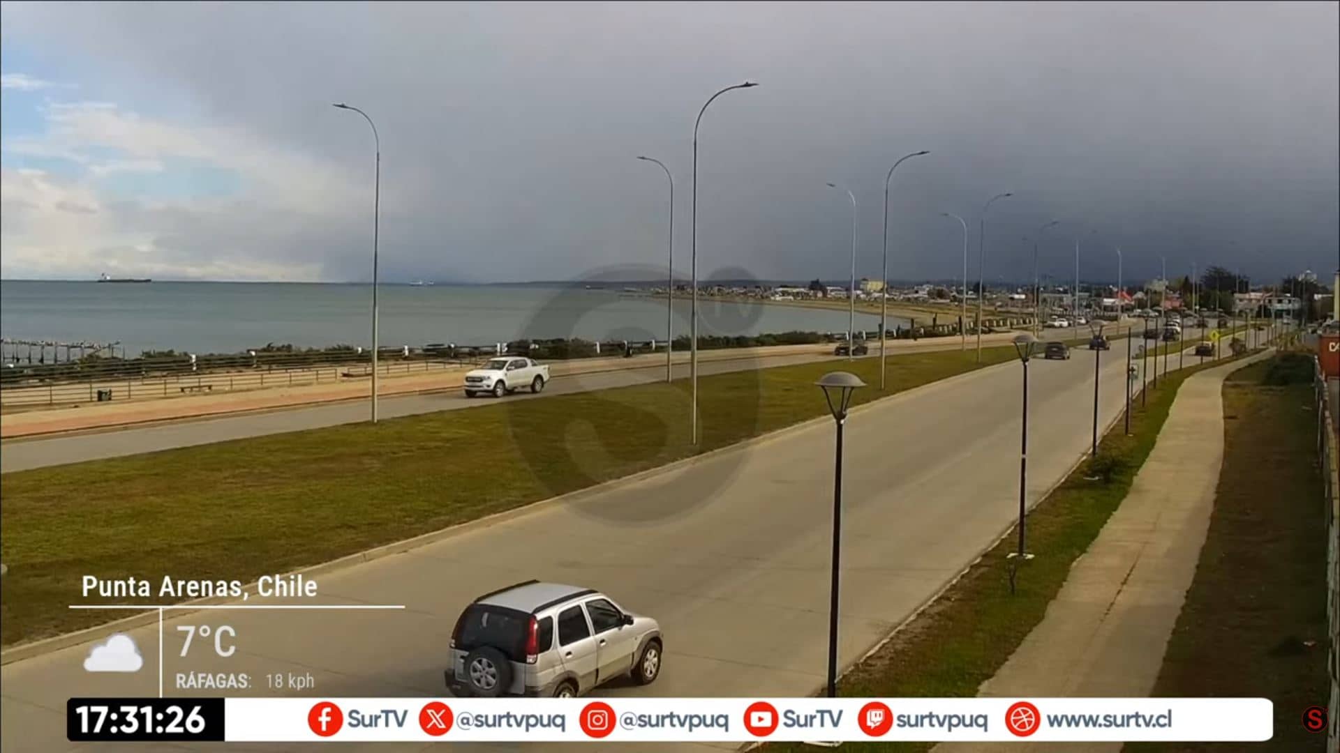
Magallanes and Chilean Antarctica, Chile — 447 km
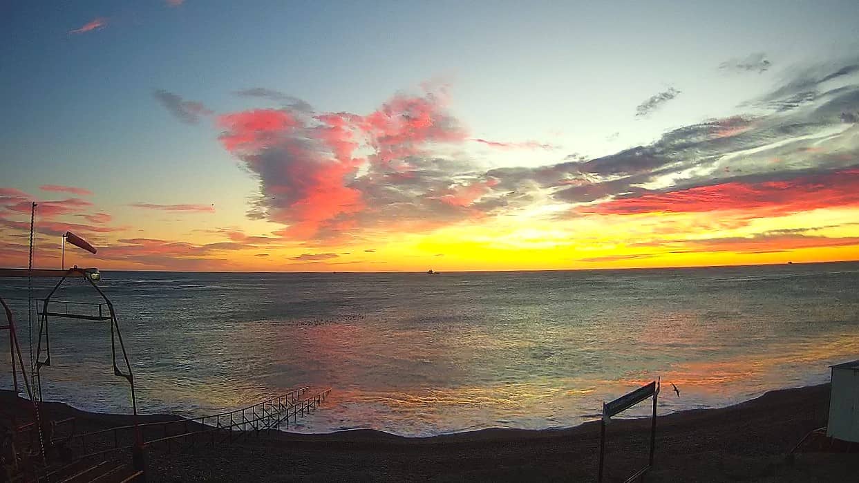
Santa Cruz, Argentina — 514 km

Chubut, Argentina — 559 km
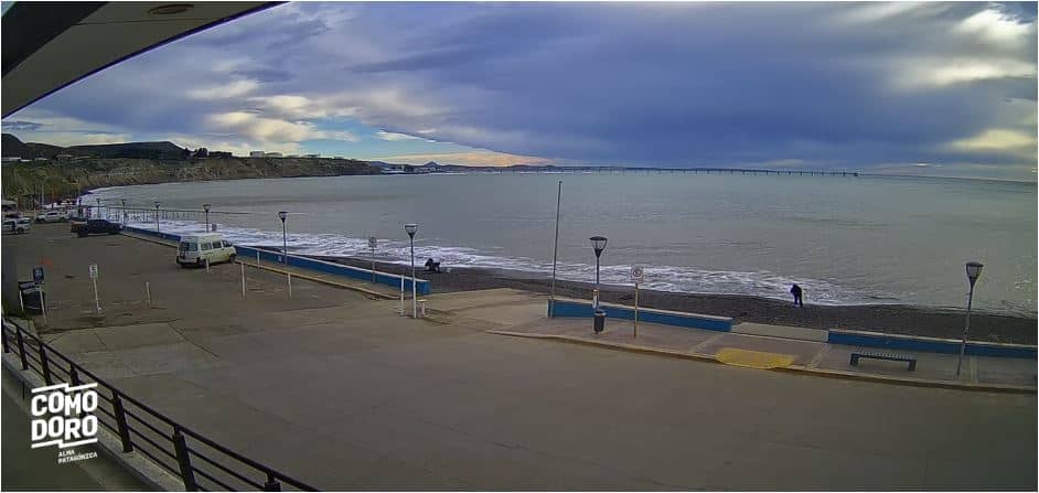
Chubut, Argentina — 560 km
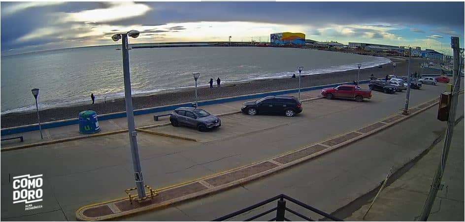
Chubut, Argentina — 560 km
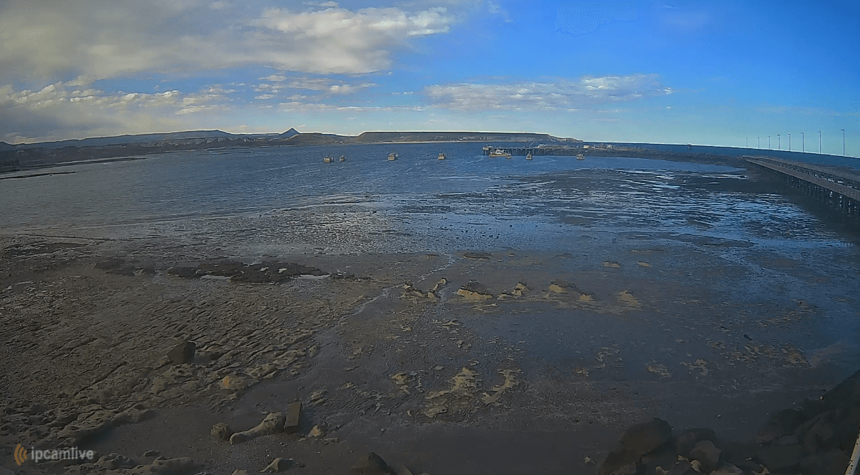
Chubut, Argentina — 574 km
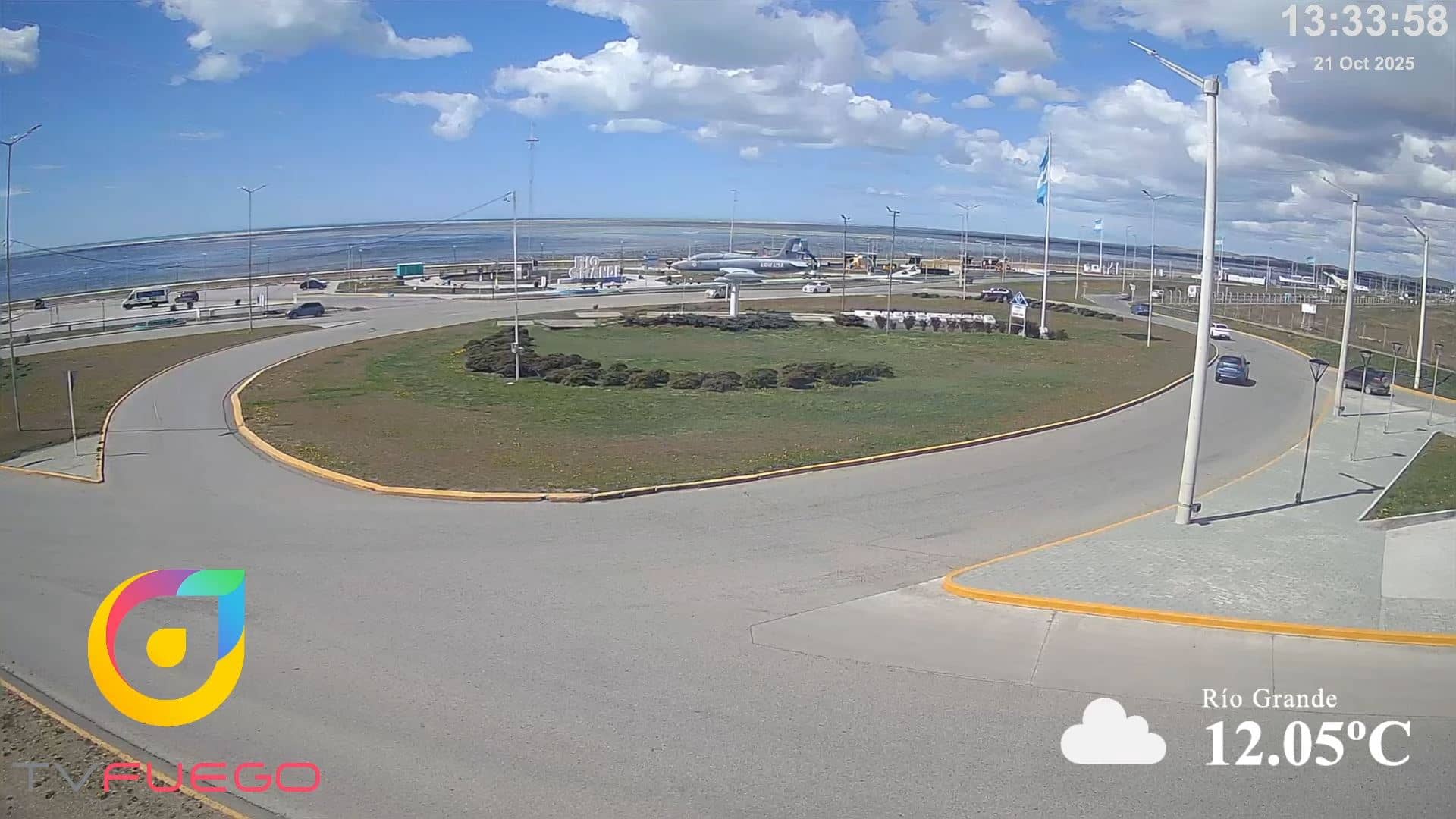
Tierra del Fuego, Argentina — 609 km
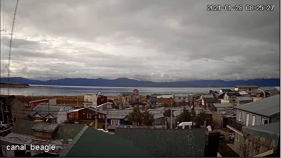
Tierra del Fuego, Argentina — 682 km
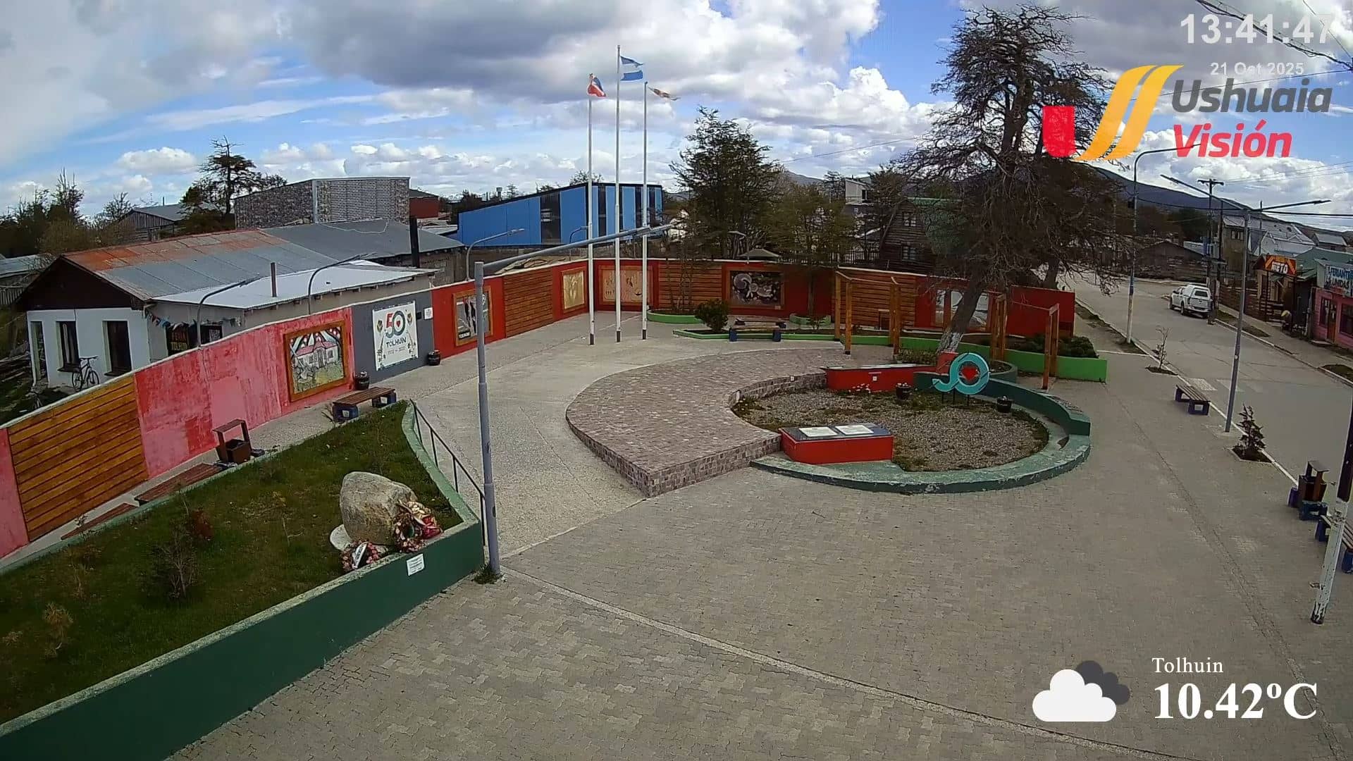
Tierra del Fuego, Argentina — 694 km
The current conditions and a three-day forecast are shown in the live weather block on this page. Mountain weather can change quickly, so it is worth checking again before setting out on a hike.
The local time is displayed on this page and updates live. It follows the time zone used in the Argentine province of Santa Cruz.
The camera is located in the village of El Chaltén, in the Santa Cruz province of Argentina, at the foot of the Fitz Roy mountain range. The map on this page marks its position.
Early mornings and late afternoons often give the clearest views of the peaks. Check the weather block first, since cloud cover frequently hides the mountains.
Partner links: we may earn a commission at no extra cost to you.