
Town of Liberty Grove - Gills Rock Axis Q3517
Wisconsin, United States — 0.2 km
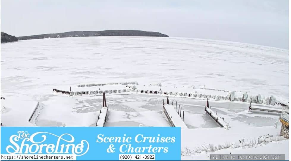
🇺🇸 Wisconsin · United States — Altitude 185 m
This live stream is run by Shoreline Charters and shows the fishing village of Gills Rock at the tip of the Door Peninsula, where Green Bay meets Lake Michigan. Watch it to judge conditions on the water, see how busy the harbor is, or get a sense of the weather before a trip to northern Door County.
Gills Rock is a small harbor community at the northern end of the Door Peninsula, a long finger of land between Green Bay and Lake Michigan. It is best known as the departure point for ferries and charter boats heading to Washington Island and the surrounding waters. The surrounding countryside is mostly farmland, orchards and mixed forest, and the village keeps a quiet, working-harbor character. Its position on the strait makes it a gateway to the wider northern Door County shoreline.
Because the camera is tied to a charter operation, the view is most useful for following activity around the water and checking how the lake looks at a glance. Early mornings often bring calm surfaces and quiet docks, while the afternoon tends to bring more boat traffic and wind. Evenings in summer can be pleasant for watching the light fade over the water. Visibility, wind and wave height change quickly on the lakes, so the live view is a better guide than any single forecast.
Summers are mild and popular with visitors, while winters are cold and snowy, and the ferry schedule can narrow considerably outside the warm months. Spring and early autumn are good for a quieter visit with fewer crowds. Other cameras in the wider region, including those in Ephraim and Sturgeon Bay, are listed on this page for comparison. Check local ferry and charter timetables directly before planning a trip.
Source: Shoreline Charters
Wisconsin, United States — 0.2 km
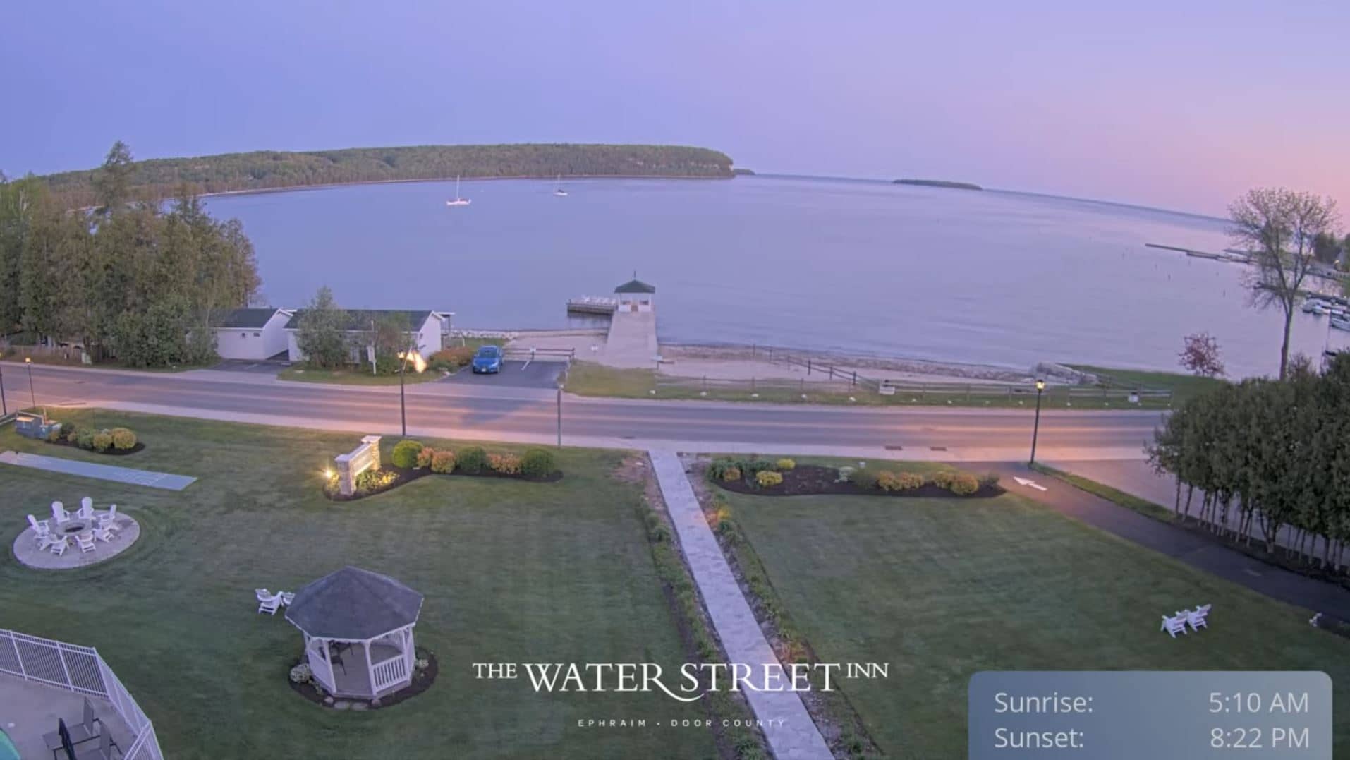
Wisconsin, United States — 19 km

Wisconsin, United States — 46 km
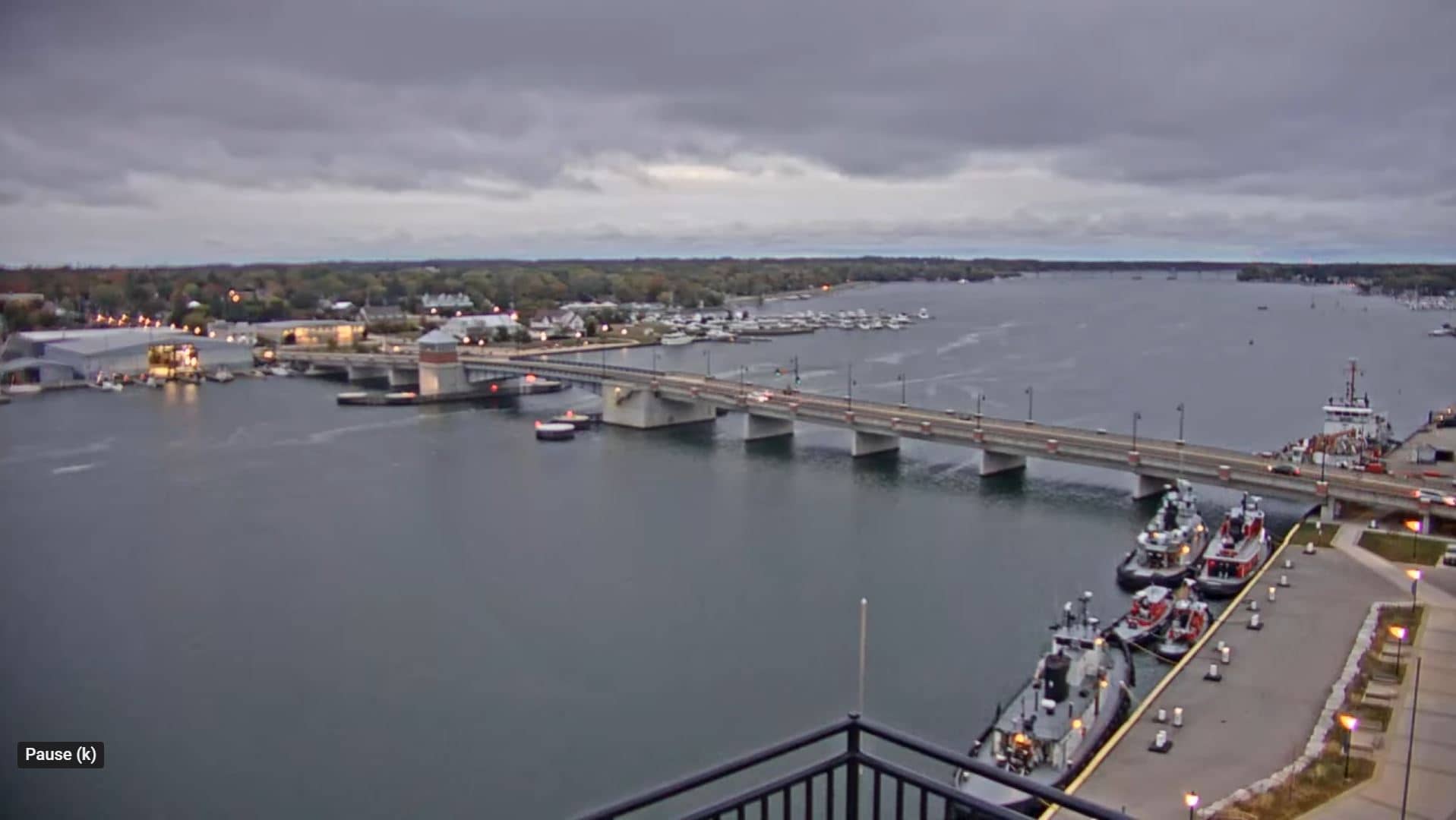
Wisconsin, United States — 58 km
Michigan, United States — 92 km
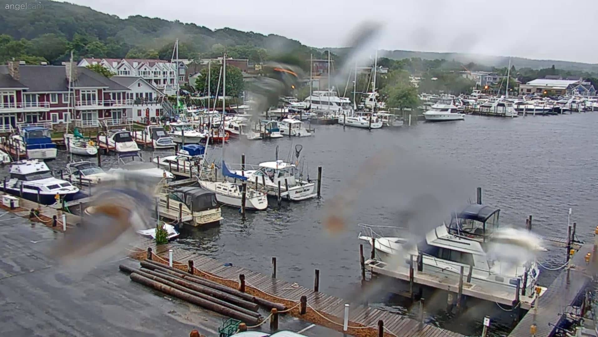
Michigan, United States — 96 km
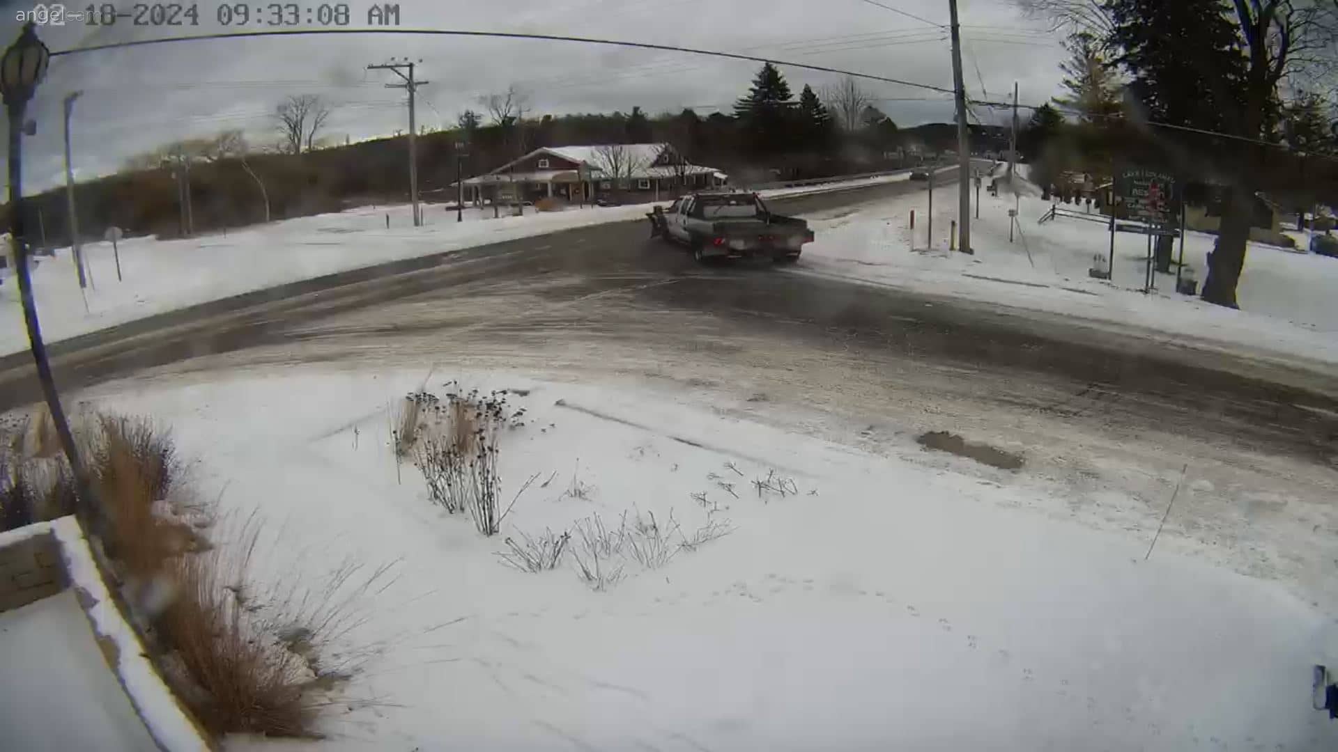
Michigan, United States — 108 km
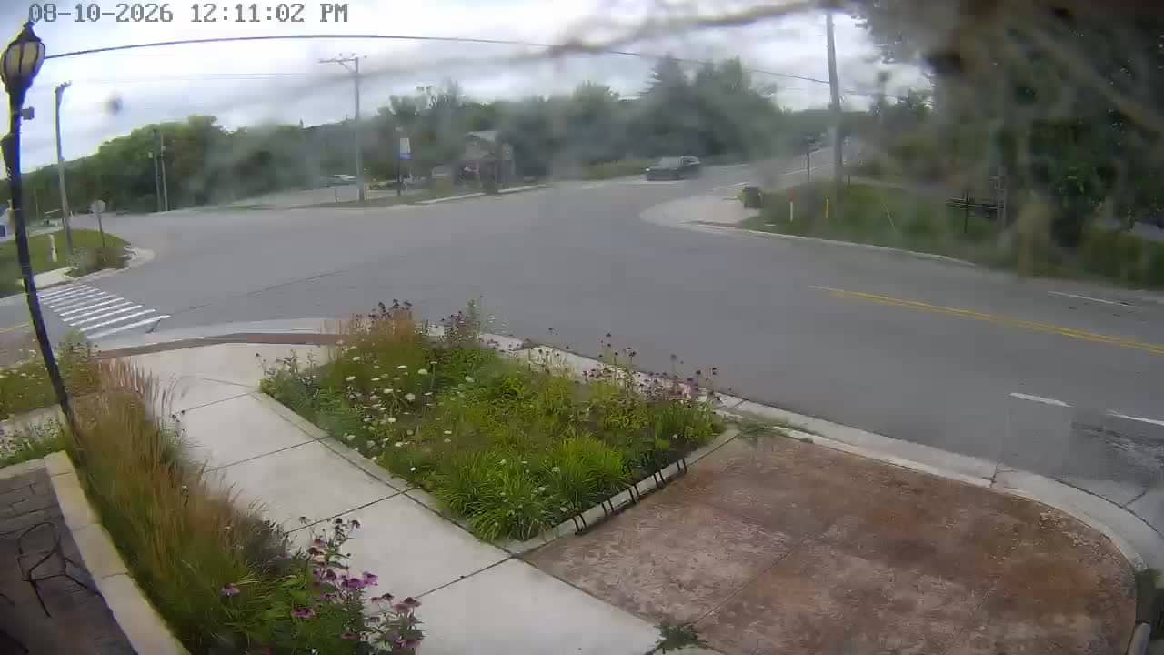
Michigan, United States — 108 km
Wisconsin, United States — 116 km
Wisconsin, United States — 116 km
The current conditions and three-day forecast for Gills Rock are shown in the weather block on this page. They update with the latest available data for the location.
The local time for Gills Rock, in the Central time zone of the United States, is shown on this page and follows daylight saving changes automatically.
The camera is in the village of Gills Rock at the northern tip of the Door Peninsula in Wisconsin. The map on this page marks its exact position on the shoreline.
Early mornings and calm days show the water most clearly, while summer afternoons bring more boat movement. Check the live view close to your planned trip for the most accurate picture.
Partner links: we may earn a commission at no extra cost to you.