
Erie
Pennsylvania, United States — 6.8 km
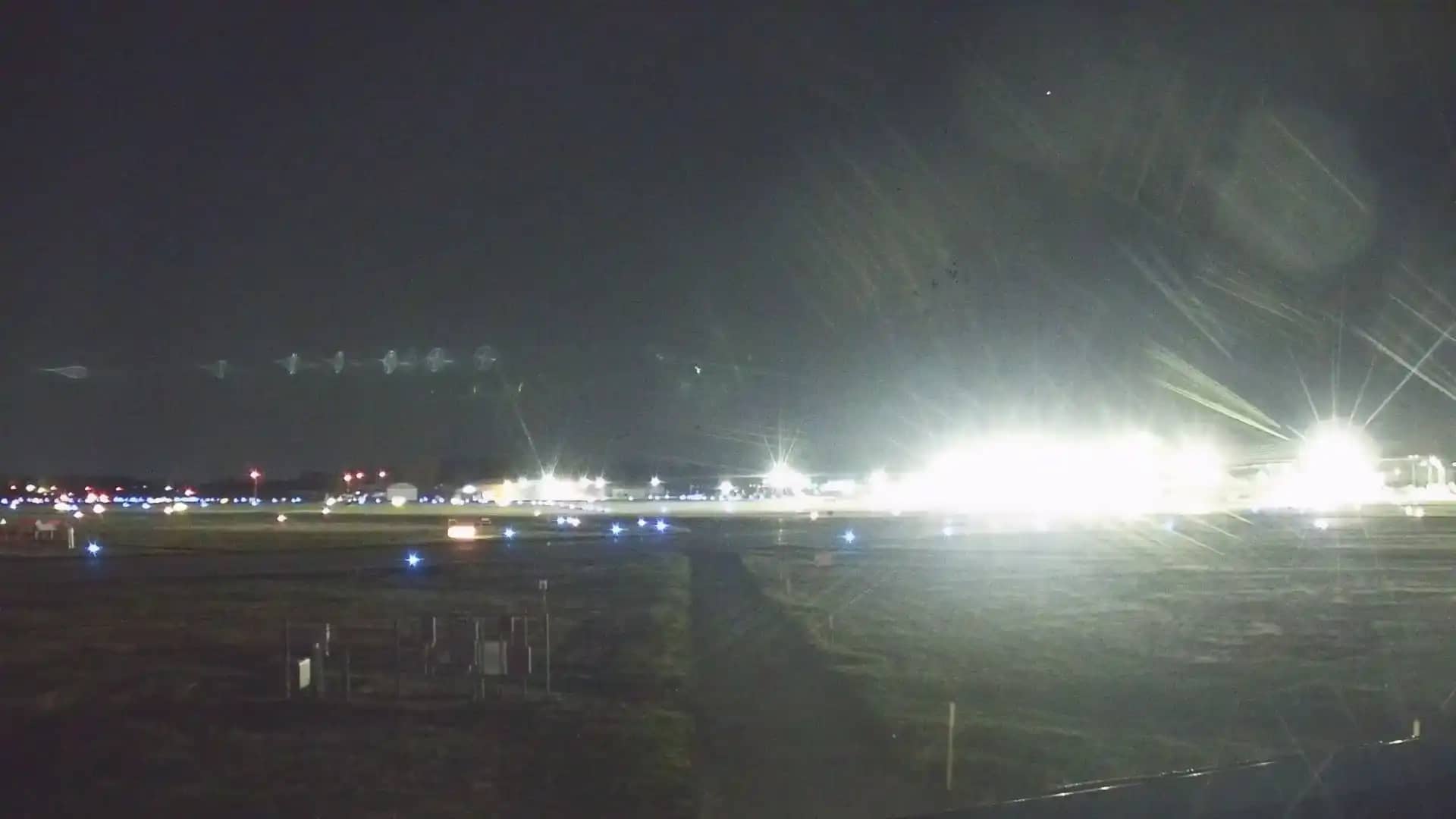
Erie - International Airport
🇺🇸 Pennsylvania · United States — Altitude 220 m
This live camera looks out over Erie International Airport in northwestern Pennsylvania, close to the shore of Lake Erie. It suits anyone who wants to see current conditions at the field before a flight or to check how the weather is moving across the lakeshore.
Erie is a lakeside city on the south shore of Lake Erie, the shallowest of the Great Lakes by average depth but among the largest by surface area. The airport sits a short distance from the city and serves as the main commercial airfield for the region. The surrounding landscape is mostly flat, with farmland, woodland and the open lake influencing the weather, which can change quickly at this altitude of about 220 metres.
Depending on the view, you may see aircraft on the apron or runway, ground traffic, and the sky over the field. Lake-effect clouds and snow squalls are common in the cooler months, so the view can shift from clear to grey within an hour. Early mornings and late afternoons often give the most even light, and the weather conditions shown here are a good way to judge visibility.
Erie has a humid continental climate with warm summers and cold, snowy winters. Spring and early autumn are usually the mildest times to be in the area. If you want to compare conditions, nearby cameras include the Erie city view, the Bayfront view from 100 Peach Street, and the Lake City camera, all within roughly 15 kilometres of the airport.
Source: hazcams.com
Pennsylvania, United States — 6.8 km

Pennsylvania, United States — 9.6 km

Pennsylvania, United States — 15 km
Pennsylvania, United States — 31 km
Pennsylvania, United States — 31 km

Pennsylvania, United States — 33 km

Ontario, Canada — 59 km
Pennsylvania, United States — 81 km

Ohio, United States — 89 km
New York, United States — 93 km
The current weather and a 3-day forecast for Erie are shown on this page, updated alongside the live view. Check them before you watch for cloud cover or snow.
The local time for Erie is displayed on this page and follows the Eastern time zone used across the area. It updates together with the live picture.
The camera overlooks Erie International Airport in Pennsylvania, United States, at about 220 metres above sea level. The map on this page shows its position relative to the city and the lake.
Mornings and late afternoons usually offer the clearest light and easiest visibility. In winter, watch the forecast, since lake-effect snow can reduce what you see.
Partner links: we may earn a commission at no extra cost to you.