
Covington - Cincinnati
Kentucky, United States — 0.7 km
Cincinnati - Skyline and Ohio River
🇺🇸 Ohio · United States — Altitude 181 m
This live camera looks out over the Cincinnati skyline and the Ohio River, which forms the border between Ohio and Kentucky. It is a useful way to check the city's river front and the sky above it before you head out. The page also shows local time and the current weather.
Cincinnati sits in southwestern Ohio on the north bank of the Ohio River, with the hills of northern Kentucky on the opposite shore. The city is known for its historic riverfront, its German heritage, and its chili and baseball traditions. The river itself is wide and slow here, and the rising ground on both sides gives the city its distinctive layered look.
The view centres on the downtown skyline and the water, so the light changes the picture a lot. Early morning and the hour before sunset are usually the most atmospheric, with long shadows and warm tones on the towers. Fog or low cloud over the river is common in cooler months, and it can make the scene quiet and misty. Clear summer evenings tend to show the most activity along the water.
Cincinnati has a humid continental climate, with hot, humid summers and cold winters that bring occasional snow. Spring and early autumn are generally the most comfortable times to visit. Across the river, Covington is only about a kilometre from the camera area and makes an easy walk or short drive. Crestview Hills and the other Cincinnati views listed on this page offer different angles on the same region.
Source: myearthcam.com
Kentucky, United States — 0.7 km
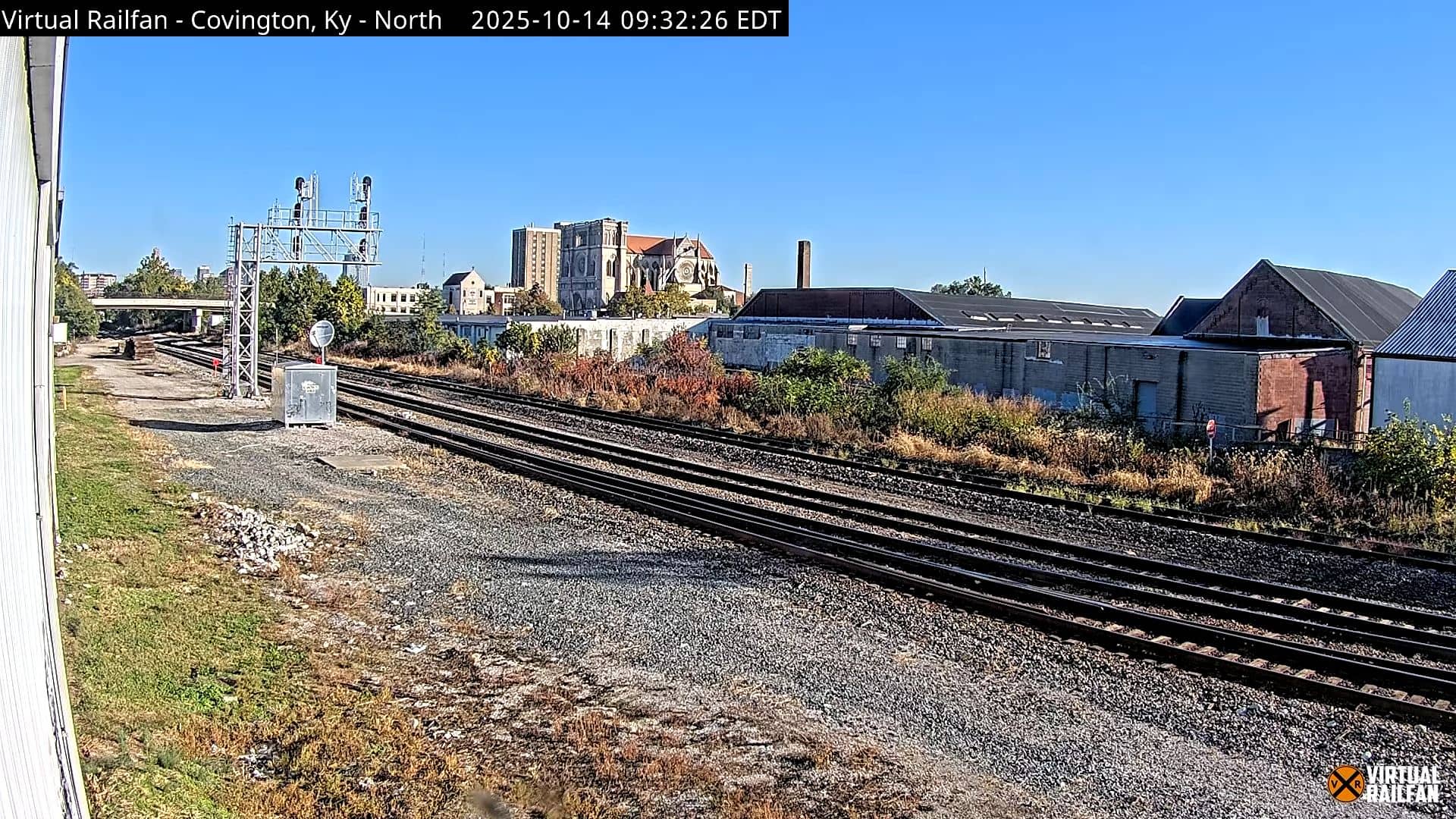
Kentucky, United States — 2.1 km
Kentucky, United States — 9.2 km
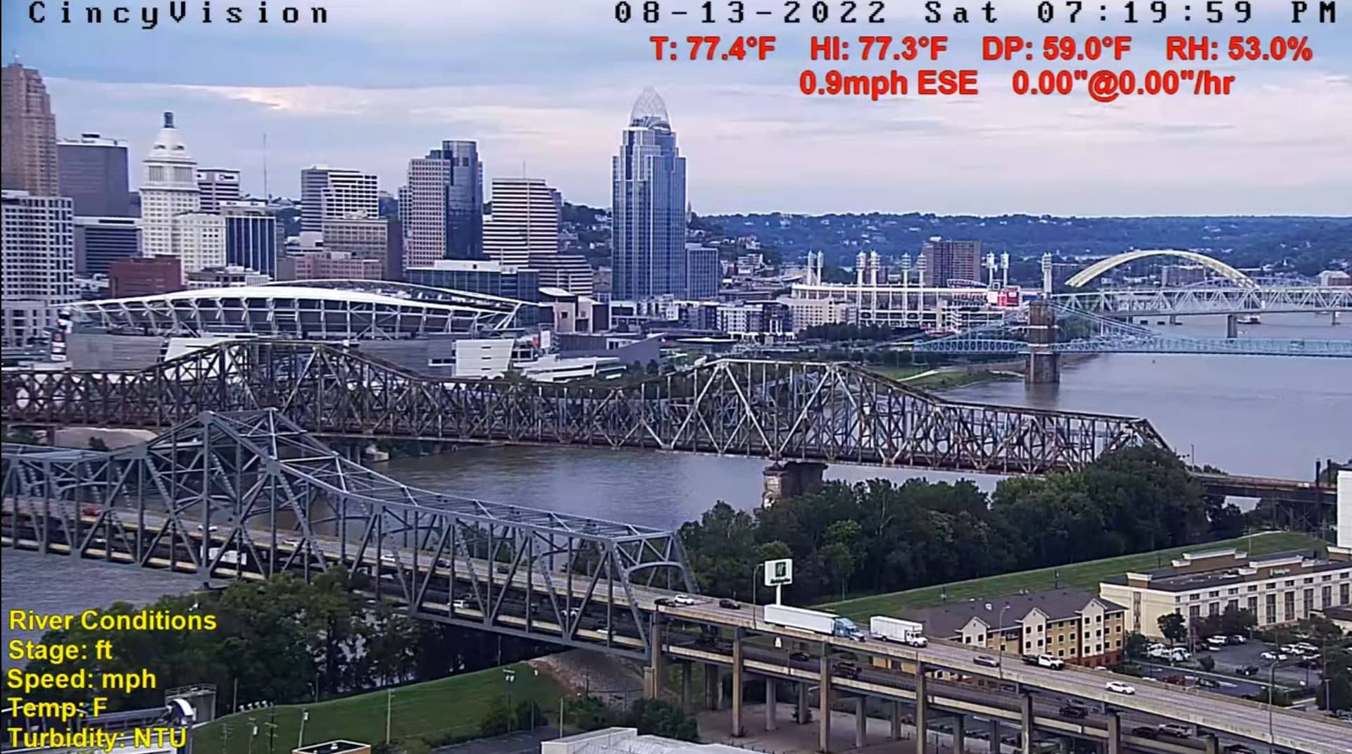
Ohio, United States — 9.3 km
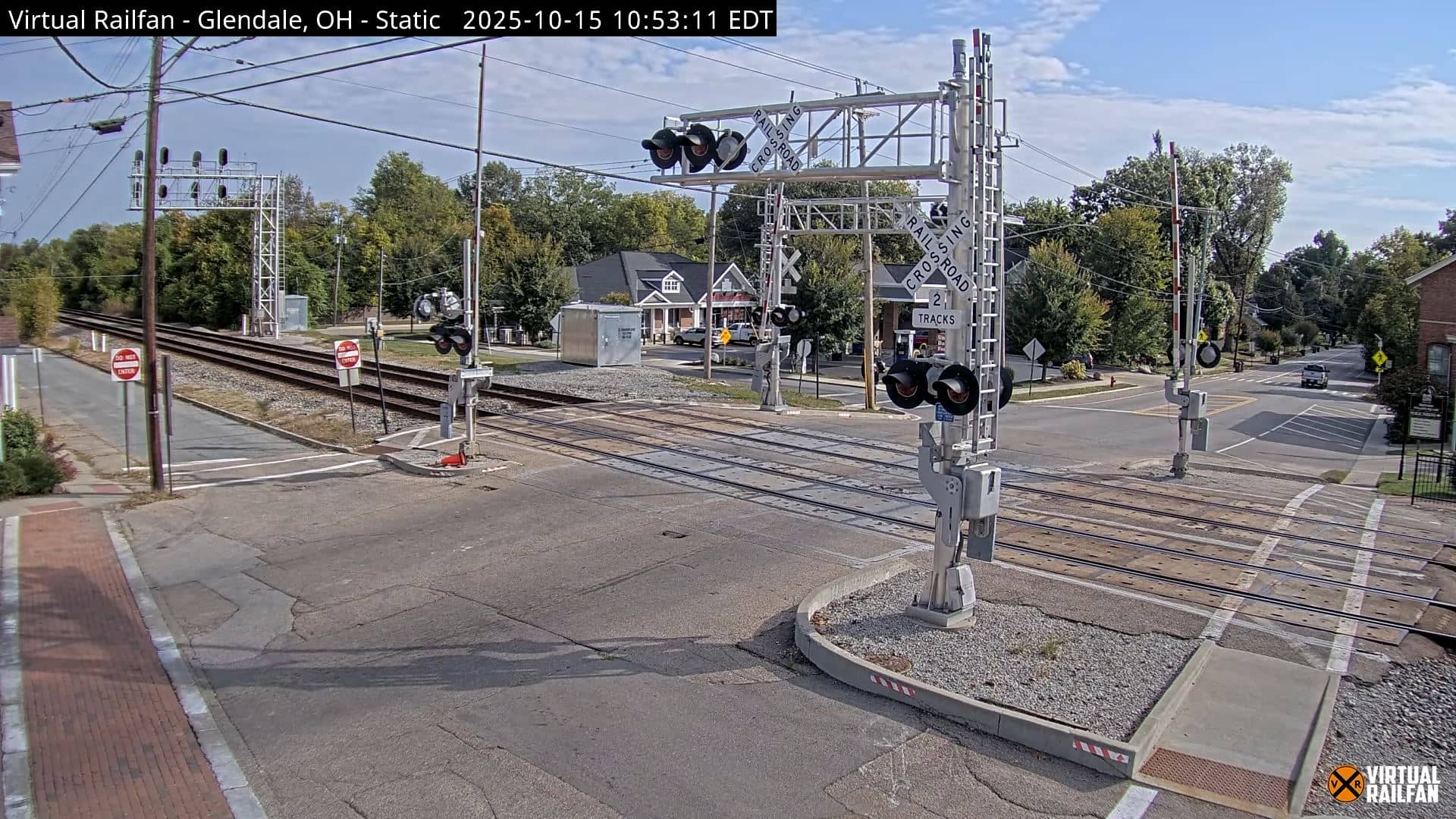
Ohio, United States — 20 km
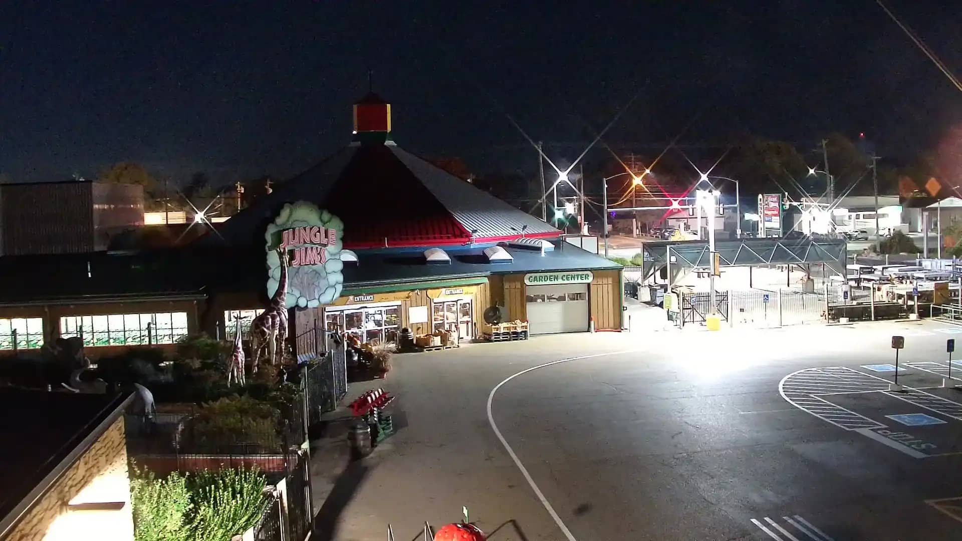
Ohio, United States — 26 km
Indiana, United States — 40 km
Kentucky, United States — 47 km
Ohio, United States — 56 km
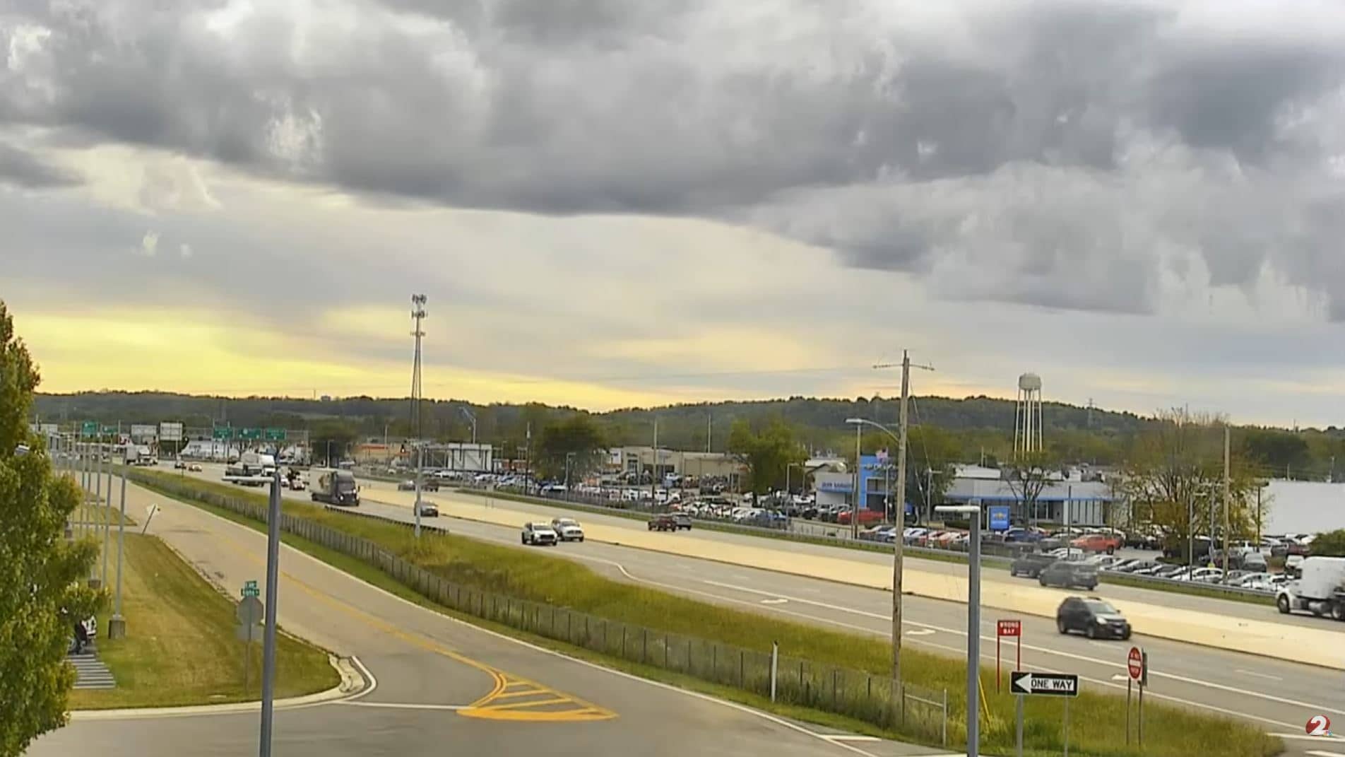
Ohio, United States — 79 km
The current conditions and a three-day forecast for Cincinnati are shown in the live weather block on this page. The values update as the forecast data refreshes.
The local time for Cincinnati is displayed on this page and follows the Eastern time zone used in the region. The clock updates automatically.
The camera is in the Cincinnati area on the Ohio River, with the approximate coordinates shown on the map on this page. It looks toward the downtown skyline and the water.
Early morning and the hour before sunset usually give the best light on the towers and river. Cool months can bring fog over the water, which creates a quieter, misty view.
Partner links: we may earn a commission at no extra cost to you.