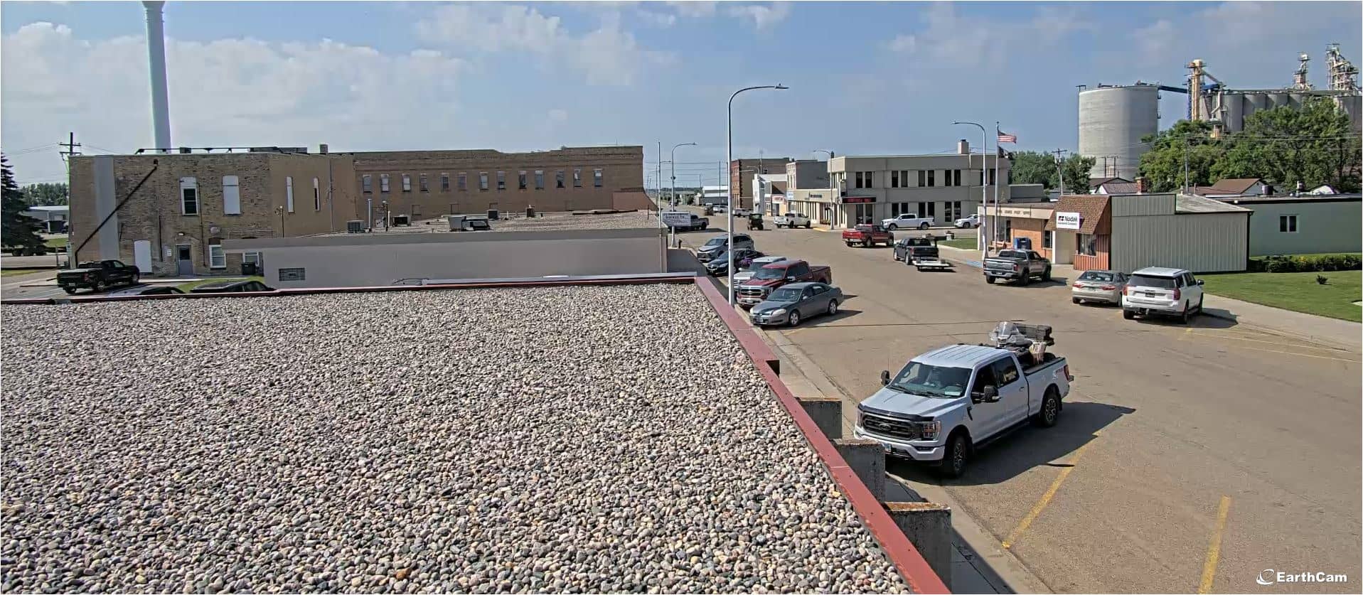
Lakota
North Dakota, United States — 25 km
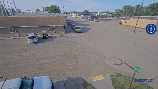
Tolna
🇺🇸 North Dakota · United States — Altitude 446 m
This live camera looks out over Tolna, a small farming town in the Prairie region of north-central North Dakota. Check it to see current conditions in town, whether it is clear, snowy or stormy, before you drive out across the open country.
Tolna sits in Nelson County, in the flat, fertile land of the Red River Valley's western edge. The area is known for wheat, barley, sunflowers and canola, and for big skies that stretch to the horizon. Life here follows the seasons of the fields, and the town is quiet, with local grain elevators and church steeples typically marking the skyline. Depending on the view, you may see open land and the broad sky that define the region.
The camera is most interesting when the weather is changing. Summer evenings often bring long golden light over the fields, while winter brings snow, frost and dramatic cloud build-up. Spring thaw and harvest time in late summer and autumn show the most visible activity in the surrounding farmland. Early morning and sunset are the best times to judge conditions, since the light is clearest then.
Tolna has a continental climate with hot summers and very cold winters, and temperatures can swing sharply between seasons. The best time to visit is from late May to September, when roads are clear and days are long. Nearby, you can compare conditions with the Lakota camera about 25 km away, or with the Devils Lake cameras, roughly 45 km east, which show a larger lakeside town.
Source: gondtc.com
North Dakota, United States — 25 km
North Dakota, United States — 25 km
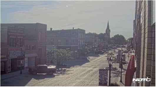
North Dakota, United States — 45 km
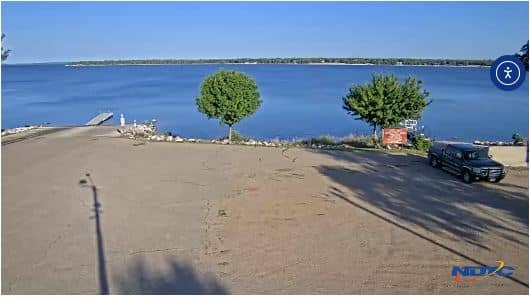
North Dakota, United States — 46 km
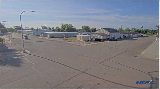
North Dakota, United States — 55 km
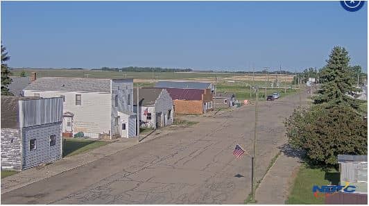
North Dakota, United States — 77 km
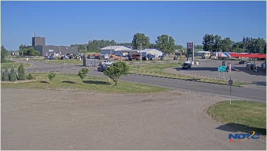
North Dakota, United States — 93 km
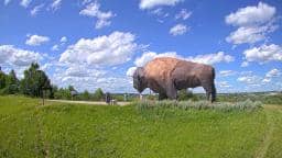
North Dakota, United States — 104 km
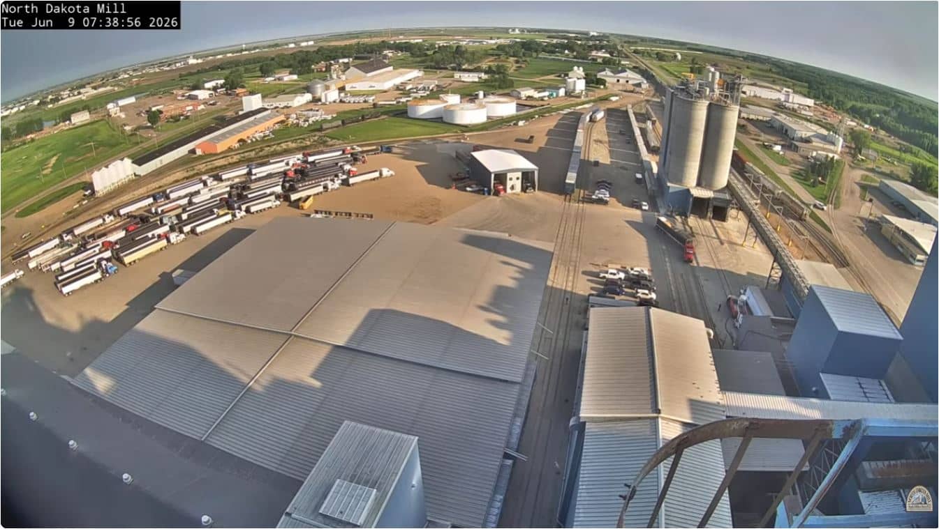
North Dakota, United States — 104 km
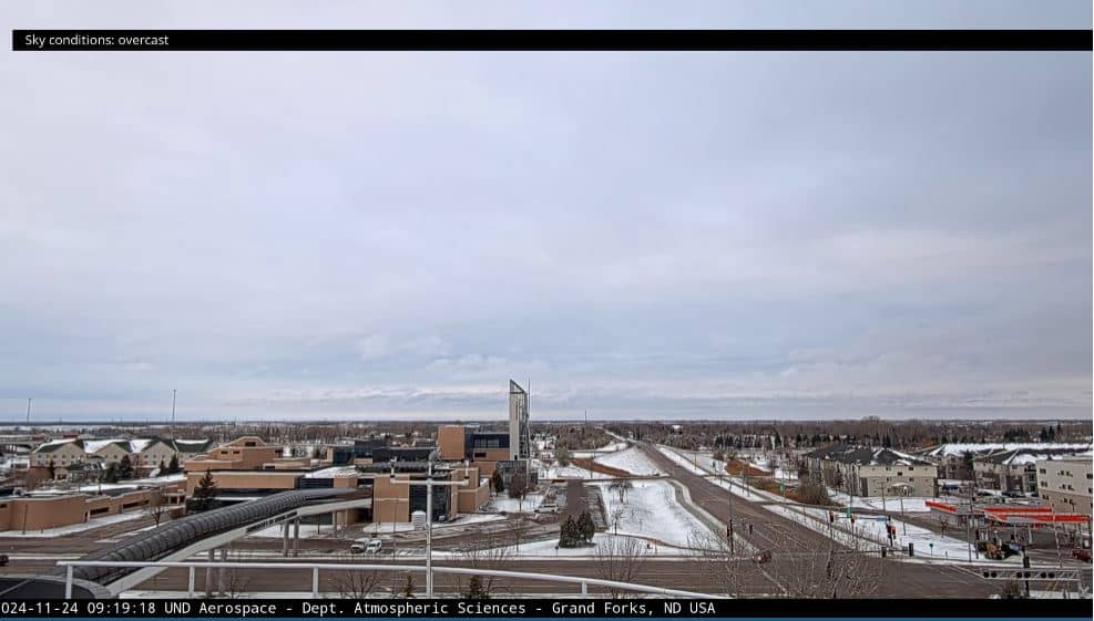
North Dakota, United States — 104 km
The current conditions and a three-day forecast for Tolna are shown in the live weather block on this page. The data updates automatically, so you can check it before planning a trip.
Tolna uses Central Time in the United States. The local time is displayed on this page and updates live alongside the camera stream.
The camera is in Tolna, North Dakota, at about 47.83 degrees north and 98.44 degrees west, at an elevation of around 446 metres. The map on this page shows its exact position.
Early morning and sunset give the clearest light and the most visible changes in the sky. Watching during storms or after snowfall is also rewarding, since the Prairie landscape changes quickly with the weather.
Partner links: we may earn a commission at no extra cost to you.