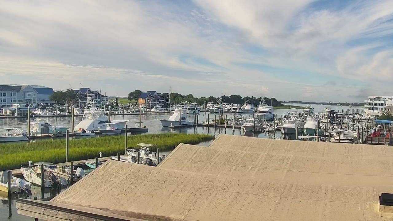
Wrightsville Beach - ICW Drawbridge
North Carolina, United States — 0.9 km
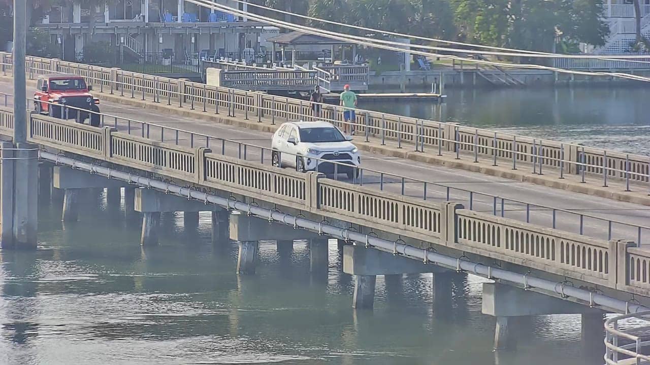
Wrightsville Beach - Lees Cut
🇺🇸 North Carolina · United States — Altitude 3 m
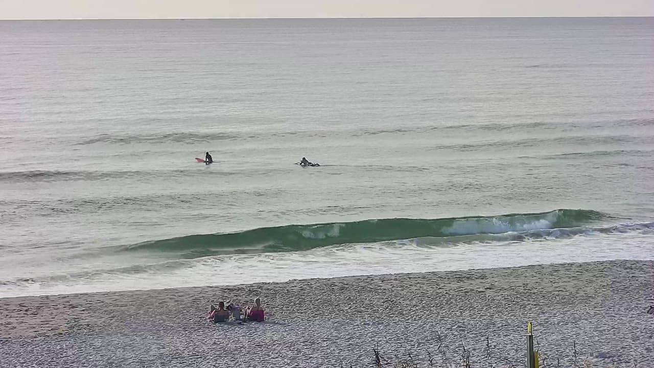
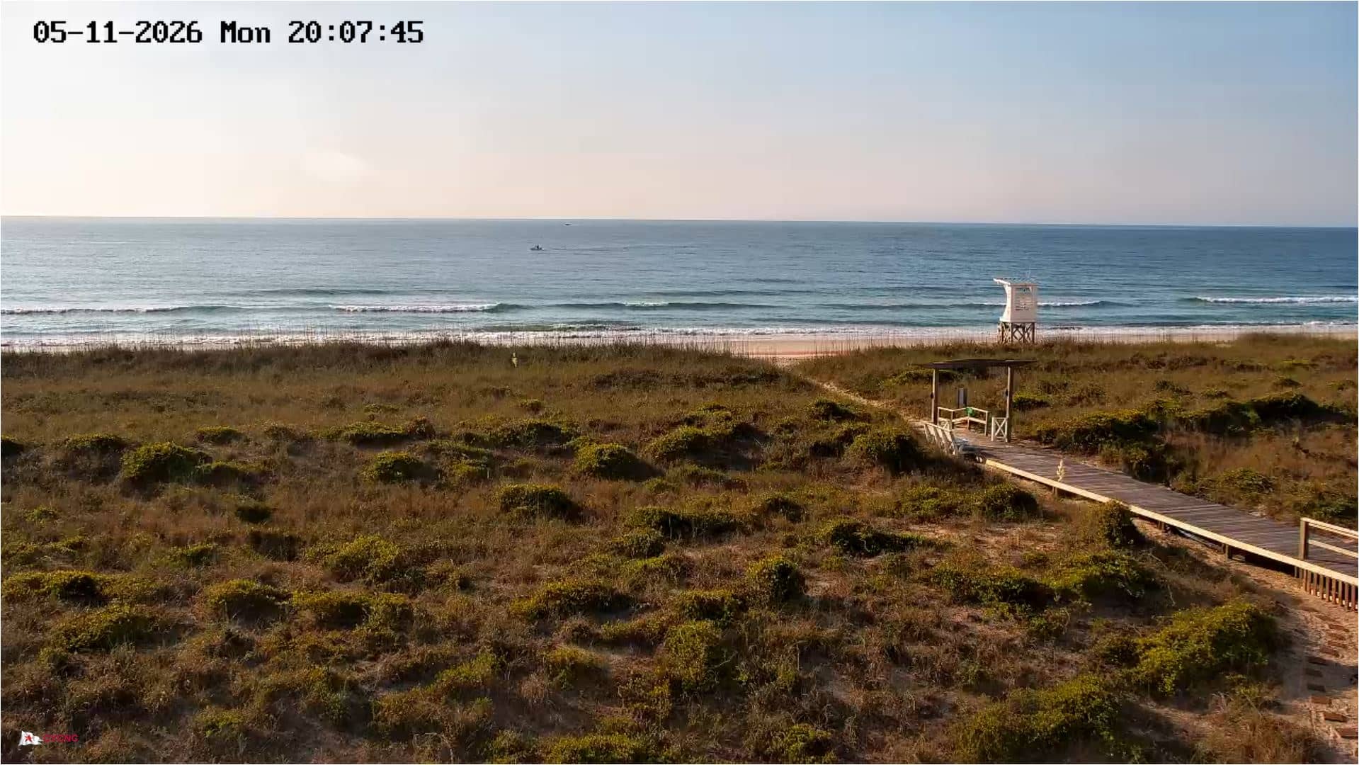
This live stream looks out over Lees Cut, a tidal inlet on the coast of Wrightsville Beach in North Carolina. It is useful if you want to check how the water and sky look before heading to the shore, or if you simply enjoy watching a coastal scene unfold. The live player is paired with local time and weather on this page.
Wrightsville Beach is a barrier island community just east of Wilmington, separated from the mainland by the Intracoastal Waterway. It is known for its wide sandy shoreline, surf, and a relaxed beach-town atmosphere. Lees Cut sits in the marsh and water areas that make the island's coast so distinctive, where tidal channels and sandbars shift with the seasons.
As a beach view, the stream is most interesting when the tide is moving, since the channels and sandbars change visibly as water flows in and out. Morning often brings calmer water and softer light, while late afternoon can show stronger colour on the sea. Weather conditions such as wind, haze or summer storms will also shape what you see, so the live view is a good way to judge the day.
The coast of southeastern North Carolina has a humid subtropical climate, with hot, muggy summers and mild winters. Late spring through early autumn is the typical beach season, though the water can be cooler in spring. Nearby cameras on this site include the ICW Drawbridge, Seapath Yacht Club, the Intracoastal Waterway view and Johnnie Mercers Pier, which give a wider picture of the island.
Source: surfchex.com
North Carolina, United States — 0.9 km
North Carolina, United States — 0.9 km
North Carolina, United States — 1 km
North Carolina, United States — 1.6 km
North Carolina, United States — 1.7 km
North Carolina, United States — 2.2 km
North Carolina, United States — 2.3 km
North Carolina, United States — 3 km
North Carolina, United States — 3.7 km
North Carolina, United States — 13 km
The current conditions and a three-day forecast for Wrightsville Beach are shown in the weather block on this page. They update alongside the live stream.
The local time for Wrightsville Beach, on the US East Coast, is displayed on this page next to the live player.
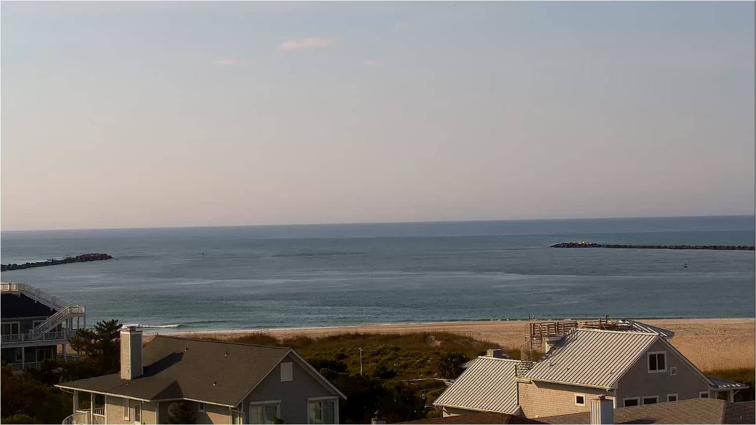
The camera overlooks Lees Cut on the coast of Wrightsville Beach, North Carolina. The map on this page shows its position on the island.
Daylight hours are best for seeing the water and sand clearly. Watching during a rising or falling tide is often the most interesting, as the channels change shape.
Partner links: we may earn a commission at no extra cost to you.