Emerald Isle - East
North Carolina, United States — 0.8 km
🇺🇸 North Carolina · United States — Altitude 2 m
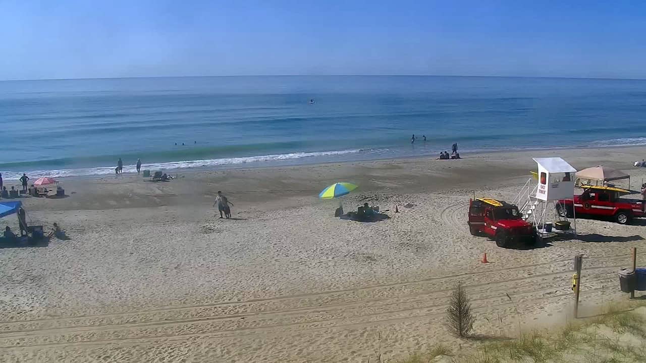
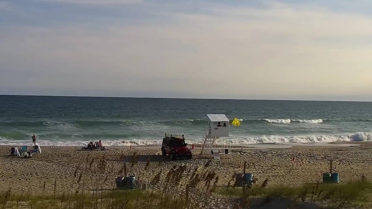
This live camera looks over the western end of Emerald Isle, a barrier island on the central North Carolina coast. It is a useful check before a beach day, a surf session or a boat trip, since the view updates as conditions change. The page also shows local time and the forecast for the area.
Emerald Isle is a long, narrow barrier island in Carteret County, separated from the mainland by sound waters and reached by a causeway bridge. It is part of the region known as the Crystal Coast, valued for wide sandy beaches, dunes and quiet residential streets rather than high-rise development. The island's landscape changes with the tides, and its character is shaped by the Atlantic on one side and the sheltered sound on the other.
The camera is aimed along the western part of the island, so the view is best judged by the beach, the water and the sky rather than by fine detail. Mornings often bring calmer water and lighter crowds, while afternoons can show the sea breeze picking up. Storm days, high surf and changing tides are the conditions most worth watching, and clear weather gives the best view of the shoreline.
The Crystal Coast has a humid subtropical climate, with hot summers, mild autumns and cooler winters. Late spring through early autumn is the usual season for beach trips, though hurricane season runs from June to November, so checking the forecast before travel is sensible. Nearby cameras on Atlantic Beach and at Beaufort, a short drive away, offer other coastal views for comparison.
Emerald Isle is compact and mostly reached by car, with the main road running the length of the island. Parking near public beach access points can fill up on summer weekends, so arriving early helps. The live view here is a good way to judge the beach before you leave.
Source: thesurfersview.com
North Carolina, United States — 0.8 km
North Carolina, United States — 28 km
North Carolina, United States — 28 km
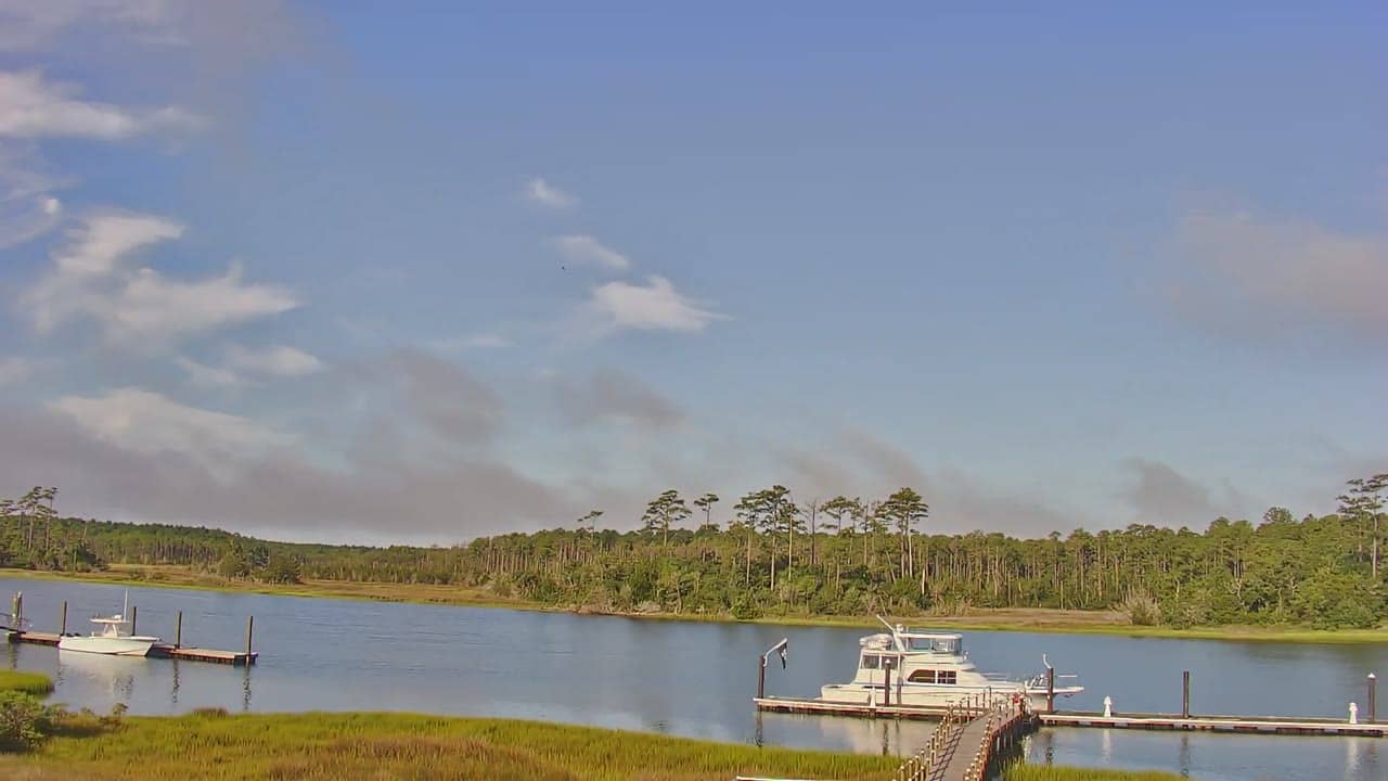
North Carolina, United States — 35 km
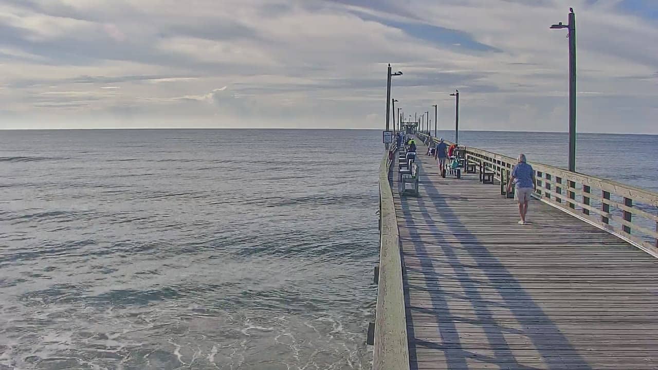
North Carolina, United States — 36 km
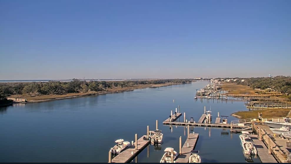
North Carolina, United States — 38 km
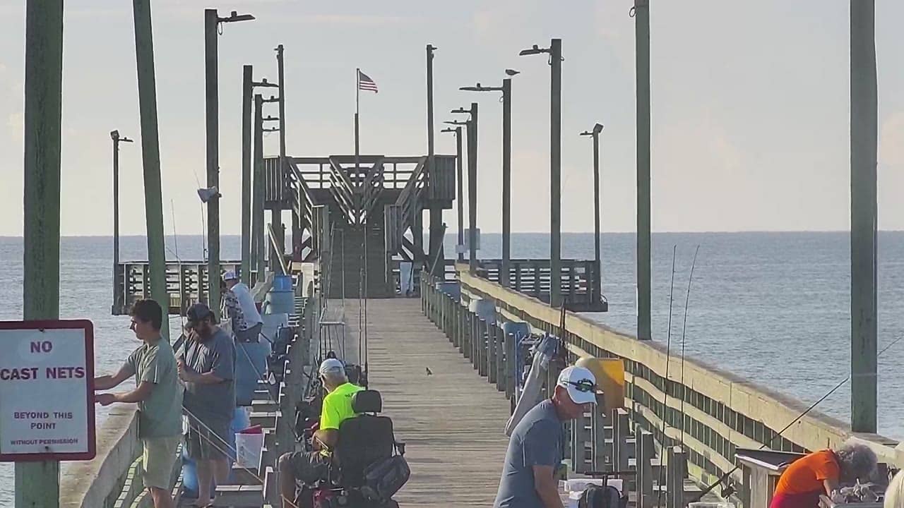
North Carolina, United States — 39 km
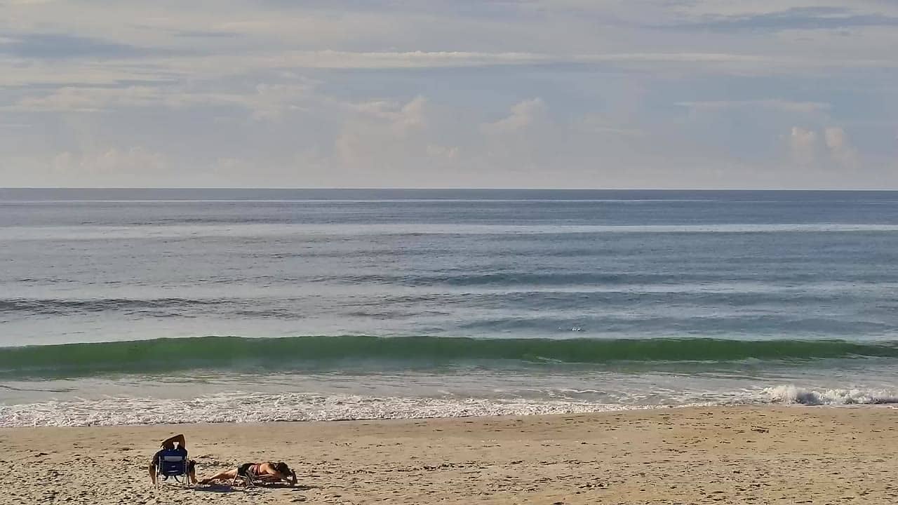
North Carolina, United States — 52 km
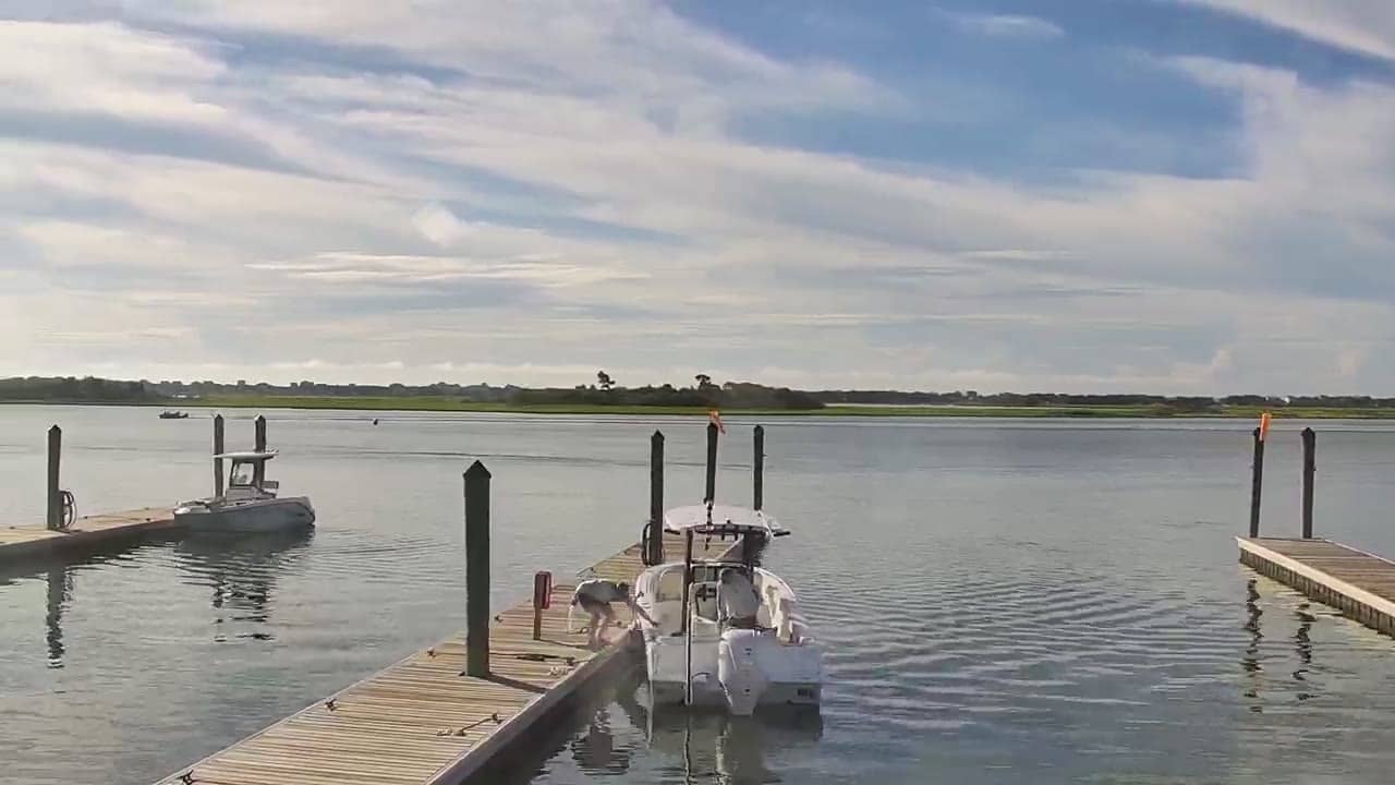
North Carolina, United States — 52 km
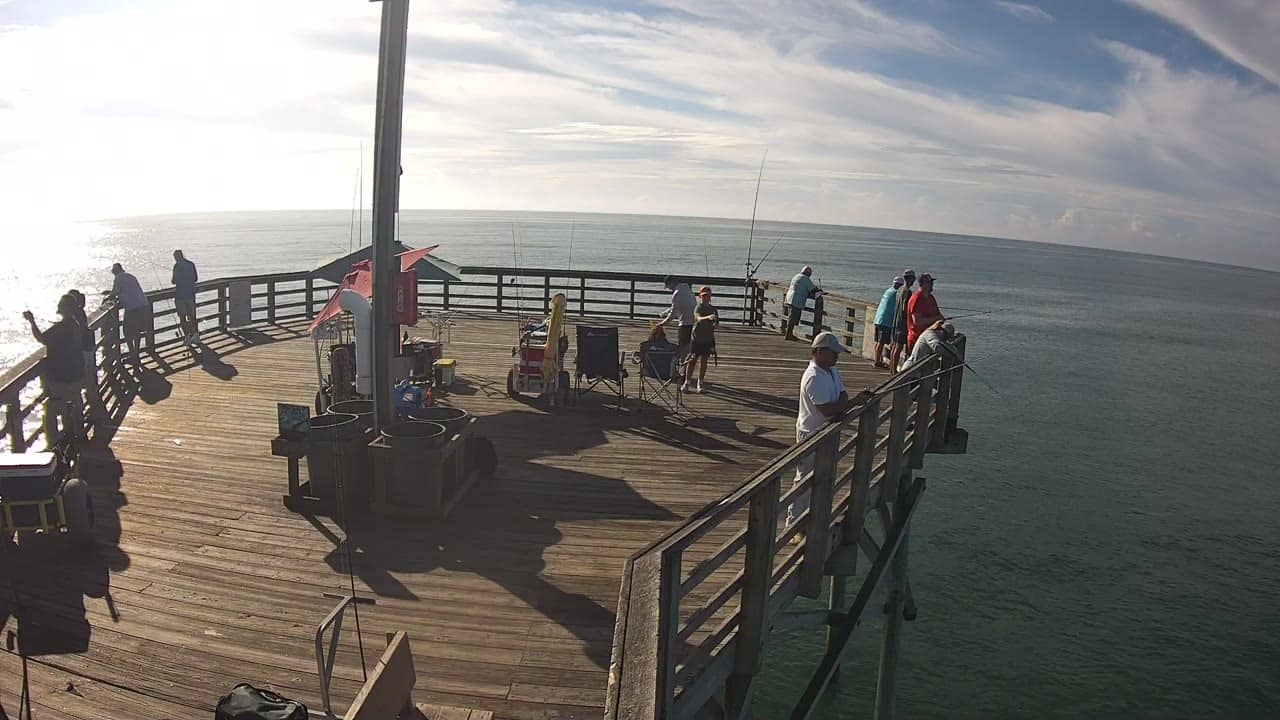
North Carolina, United States — 53 km
The current conditions and a three-day forecast for Emerald Isle are shown in the live weather block on this page. They update regularly, so check there before planning your visit.
The local time for Emerald Isle, on the Eastern time zone of North Carolina, is shown in the live clock on this page, so you can judge the light and the crowds.
The camera is on the western part of Emerald Isle, a barrier island on the central North Carolina coast. The map on this page marks its position and shows the nearby cameras.
Mornings and clear afternoons are usually the most pleasant for viewing the beach and water. Stormy weather and high surf during hurricane season can make the view especially interesting, though conditions vary.
Partner links: we may earn a commission at no extra cost to you.