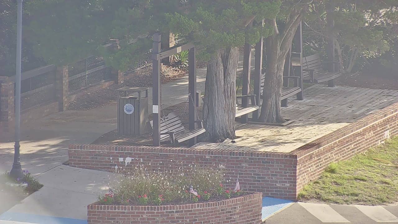
Southport - Waterfront Park
North Carolina, United States — 0.3 km
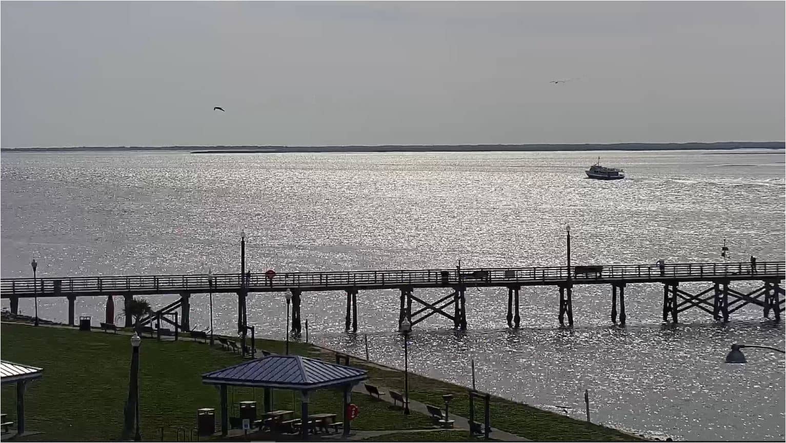
Southport - Fishy Fishy Cafe
🇺🇸 North Carolina · United States — Altitude 4 m
This live stream looks toward the Fishy Fishy Cafe in Southport, a small harbor town at the mouth of the Cape Fear River on the North Carolina coast. It is useful if you want to see how the waterfront looks right now before you plan a visit or simply keep an eye on the coastal weather.
Southport sits on the Cape Fear River where it meets the Atlantic, roughly 30 kilometres south of Wilmington. The town grew around fishing and shipping and still keeps a working waterfront, with marinas, historic brick buildings and views across the river toward the barrier islands. Its pace is slow and maritime, and the mix of fishing boats and pleasure craft gives the harbor much of its character. The town is also a gateway to the Brunswick Islands, which makes it a common stop for anglers, sailors and people heading to the beaches nearby.
Because the camera is aimed at a waterfront cafe, the most interesting moments are usually in the morning, when boats leave the harbor, and in the late afternoon, when the light softens over the water. Tides change the look of the shoreline noticeably, and a clear sky shows the river and islands best. On windy or overcast days the water can look grey and choppy, so the view depends a lot on conditions. The stream is a live feed from the source, so what you see reflects the moment you watch rather than a recorded highlight.
Southport has a humid subtropical climate, with hot, humid summers and mild winters. Spring and autumn are generally the most comfortable seasons for being outdoors on the water. Hurricane season from June to November can bring storms, so it is worth checking the forecast before travelling. Oak Island and the Bald Head Island beaches are within a short drive or ferry ride, and the Southport - Waterfront Park camera is nearby on this site.
Source: surfchex.com
North Carolina, United States — 0.3 km
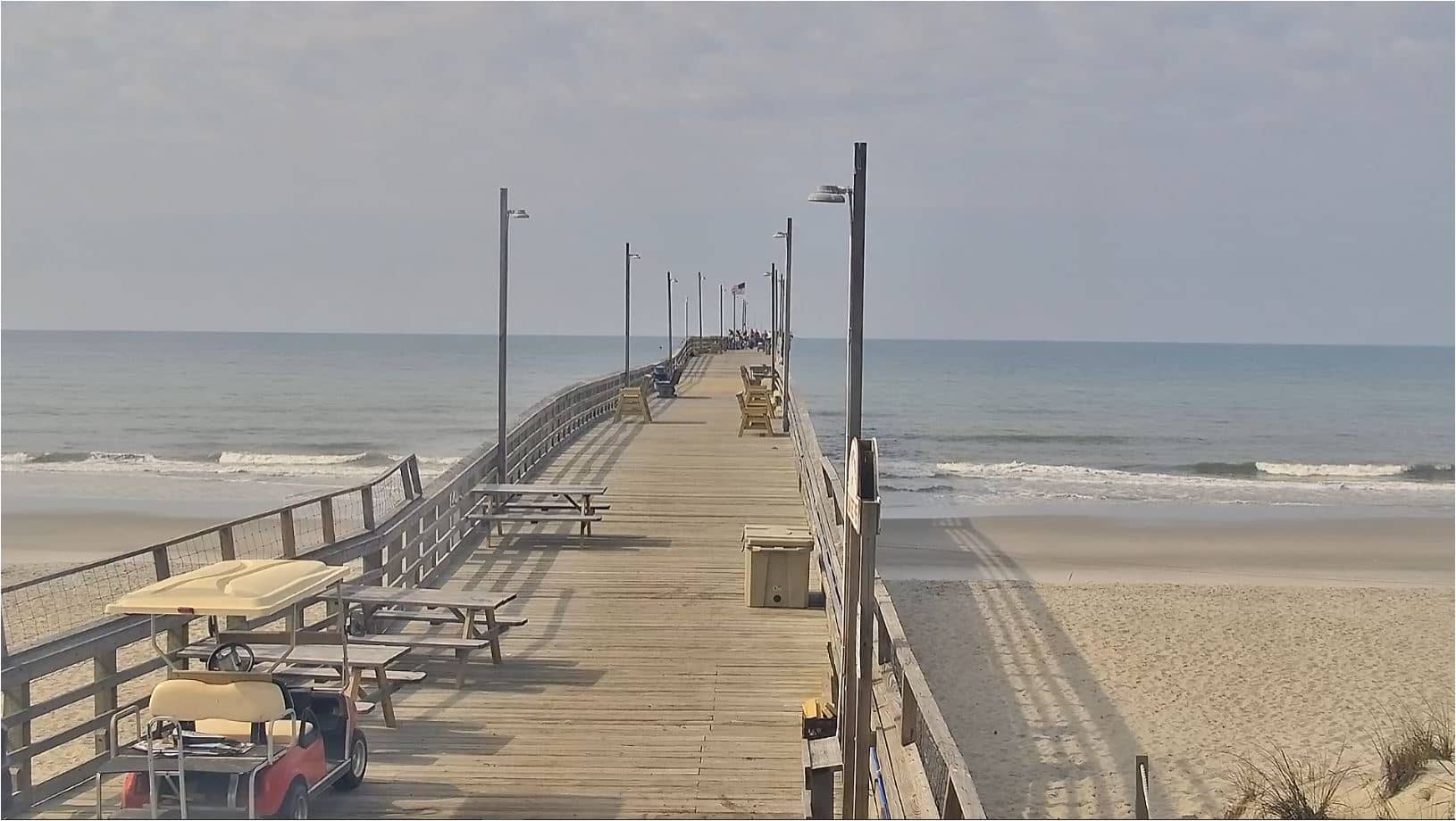
North Carolina, United States — 5.6 km
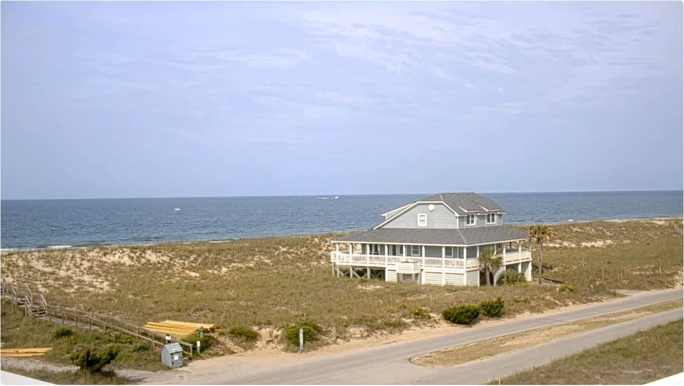
North Carolina, United States — 6.8 km
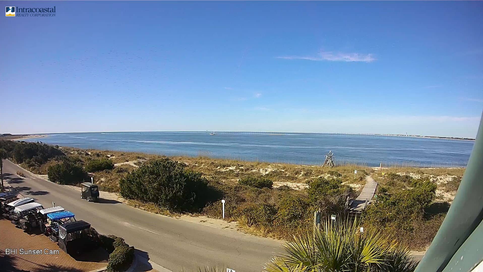
North Carolina, United States — 6.8 km
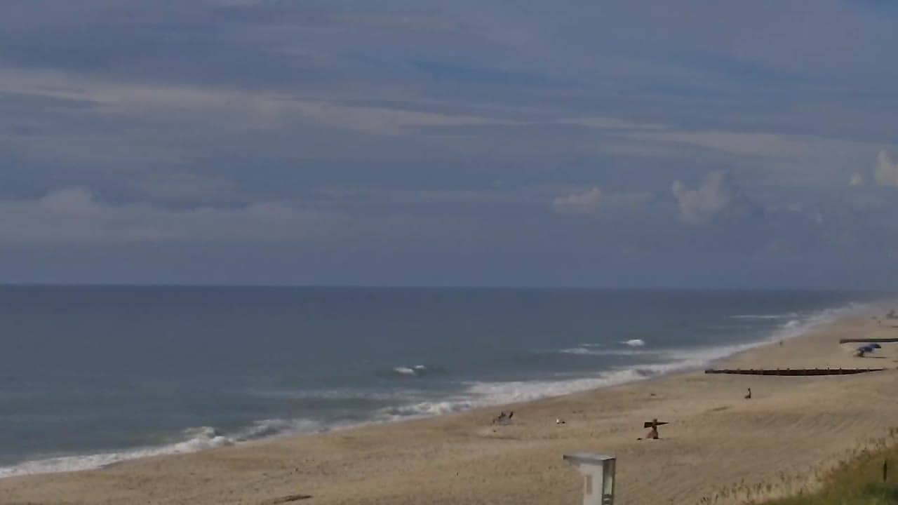
North Carolina, United States — 14 km
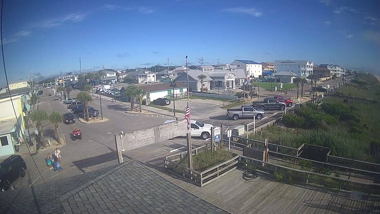
North Carolina, United States — 14 km
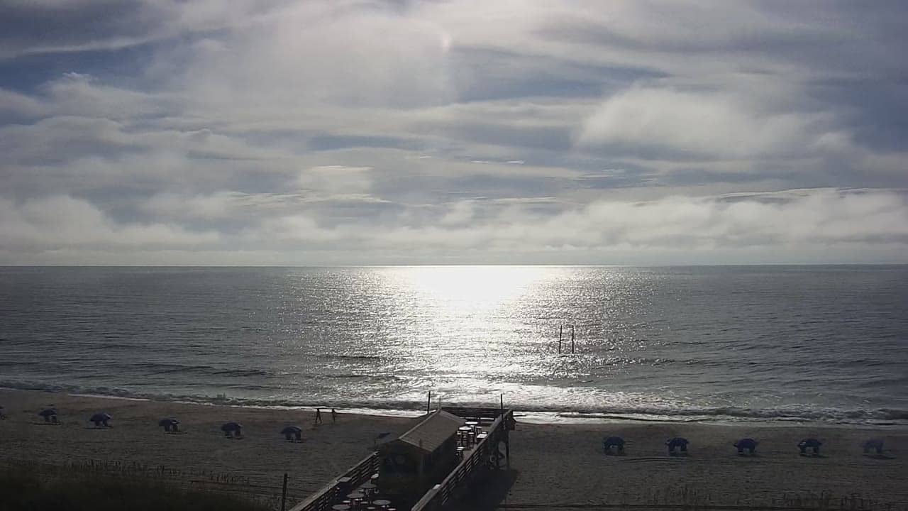
North Carolina, United States — 16 km
North Carolina, United States — 17 km
North Carolina, United States — 19 km
North Carolina, United States — 23 km
The current conditions and a 3-day forecast for Southport are shown in the weather block on this page. They update with the latest available data, so check there for temperature, wind and rain.
The local time for Southport is displayed on this page and follows the Eastern time zone used on the North Carolina coast, including daylight saving changes.
The camera is located on the Southport waterfront in North Carolina. The map on this page shows its position so you can see how it relates to the harbor and nearby towns.
Early morning and late afternoon tend to be the most interesting times, when boat traffic and light on the water are at their best. Clear days give the clearest view of the river and islands.
Partner links: we may earn a commission at no extra cost to you.