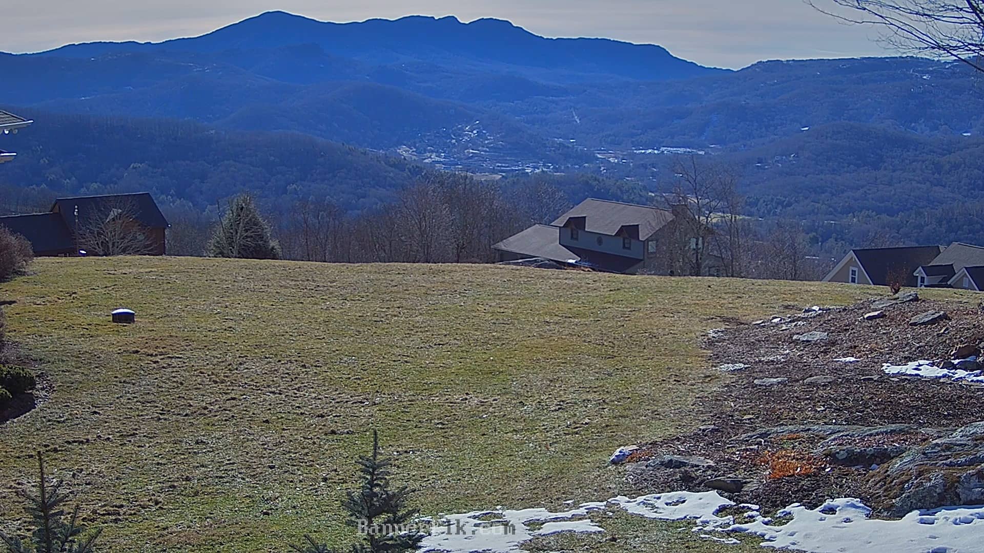
Banner Elk
North Carolina, United States — 3.6 km
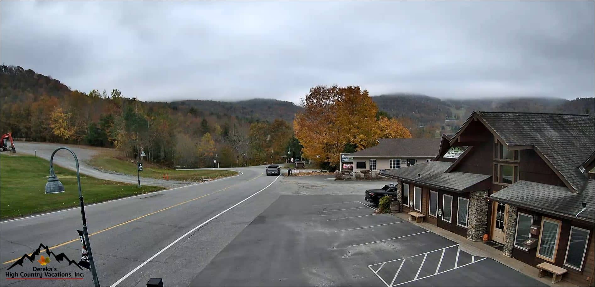
Sugar Mountain - Vue sur Sugar Mountain Drive
🇺🇸 North Carolina · United States — Altitude 1250 m
This live camera looks over Sugar Mountain Drive in the mountains of western North Carolina, a short drive from the Banner Elk ski country. It is useful for checking how the road and the mountain look before you travel, especially when snow or fog is possible. The live player, local time and weather forecast are all on this page.
Sugar Mountain sits in the Blue Ridge range of the southern Appalachians at roughly 1,250 metres. It is best known as a winter resort town with ski slopes and a compact village centre. The surrounding forest of hardwoods and conifers changes colour through the year, and the high ridges give wide views over the valleys below. The town is quiet outside the ski season, which gives the area a calm, rural feel.
The camera shows the view along the drive, so the most useful signals are road conditions, cloud level and snow cover. Mornings often bring low cloud or mist in the valleys, while clearer skies are more common later in the day. In winter the camera is most interesting after snowfall, when the slopes and roads turn white. Depending on the view, you may also see seasonal foliage in autumn and fresh green in spring.
The area has cool summers and cold, snowy winters, with spring and autumn being the mildest seasons. Summer days are pleasant for hiking and scenic drives, while winter brings the most reliable snow for skiing. The nearby village of Banner Elk is a few kilometres away and has shops, restaurants and the Lees-McRae College campus. Several other cameras in the Banner Elk area are listed on this page for comparison.
Source: Dereka's High Country Vacations
North Carolina, United States — 3.6 km
North Carolina, United States — 3.8 km

North Carolina, United States — 3.9 km

North Carolina, United States — 4 km

North Carolina, United States — 5.2 km

North Carolina, United States — 6.4 km

North Carolina, United States — 7.4 km
North Carolina, United States — 7.7 km

North Carolina, United States — 7.7 km

North Carolina, United States — 8.4 km
The current conditions and the 3-day forecast are shown in the live weather block on this page. Mountain weather can change quickly, so check it shortly before you travel.
The local time is displayed on this page and follows the Eastern time zone used across North Carolina. It updates automatically while you watch the camera.
The camera views Sugar Mountain Drive in the town of Sugar Mountain, North Carolina, at about 1,250 metres altitude. The map on this page shows its position in the Blue Ridge mountains.
Winter is the most interesting season, especially after snowfall, while autumn offers strong colours on the surrounding slopes. Early mornings are good for seeing mist and cloud over the valleys.
Partner links: we may earn a commission at no extra cost to you.