Ely
Nevada, United States — 88 km
🇺🇸 Nevada · United States — Altitude 1630 m
This live stream looks out over Lund, a small community in White Pine County in eastern Nevada, at about 1,630 metres above sea level. It is useful if you want to see current conditions in this high desert valley before you travel or simply keep an eye on the sky and weather here.
Lund sits in the Great Basin, the wide region of parallel mountain ranges and dry valleys that covers much of Nevada and Utah. The area is sparsely populated and known mainly for ranching, open landscapes and long distances between towns. Its elevation keeps summers cooler than in the Las Vegas lowlands, and the views are shaped by sagebrush flats and distant ridgelines that can catch snow in winter.
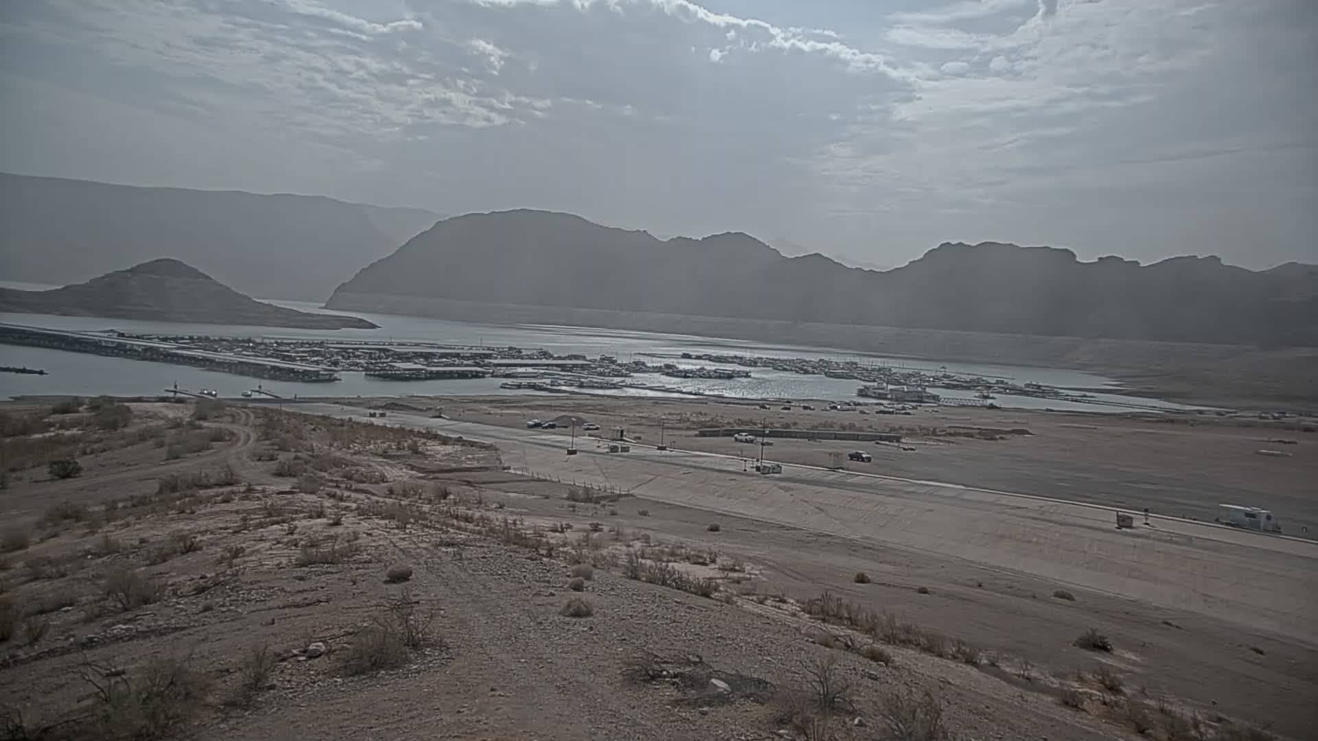
The stream is listed in the mountain category, so it is most likely to show high terrain, the horizon and changing skies rather than urban activity. Depending on the view, you may notice clouds building over the peaks in the afternoon, which is common in summer, or snow and low light during the colder months. Early morning and late afternoon usually give the clearest contrast on the landscape.
Expect hot, dry days and cool nights in summer, and cold winters with occasional snow at this elevation. Spring and early autumn are generally the most comfortable times to travel here. Lund is a small place, so plan fuel and supplies carefully, since services are limited. The nearby cameras listed on this page, including Ely, Eureka, Cedar City and St. George, cover other parts of the region.
Source: Lund Webcam
Nevada, United States — 88 km
Nevada, United States — 106 km
Nevada, United States — 142 km

Utah, United States — 199 km
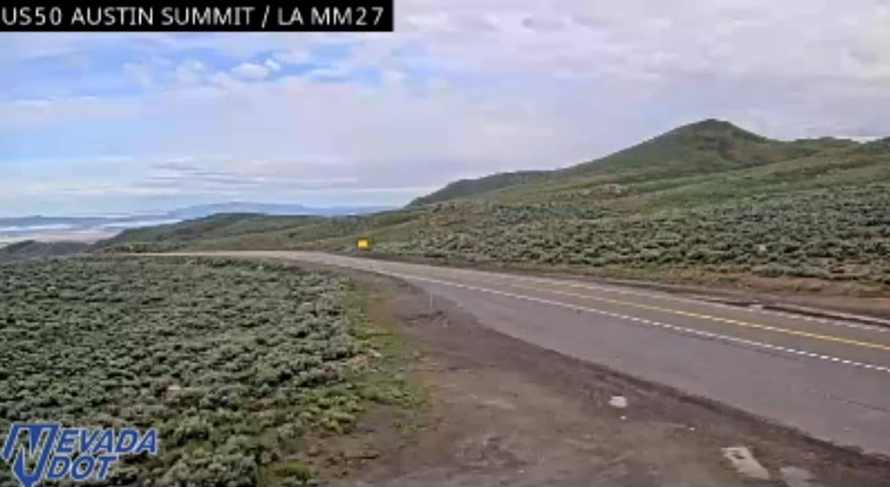
Nevada, United States — 210 km
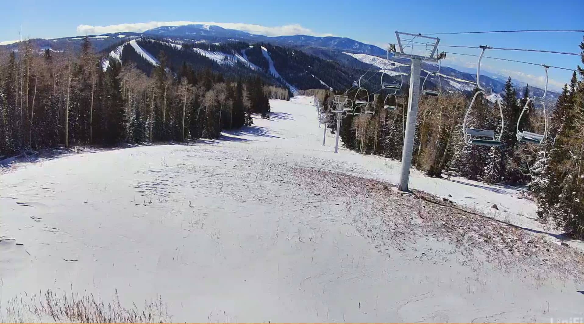
Utah, United States — 231 km
Utah, United States — 237 km
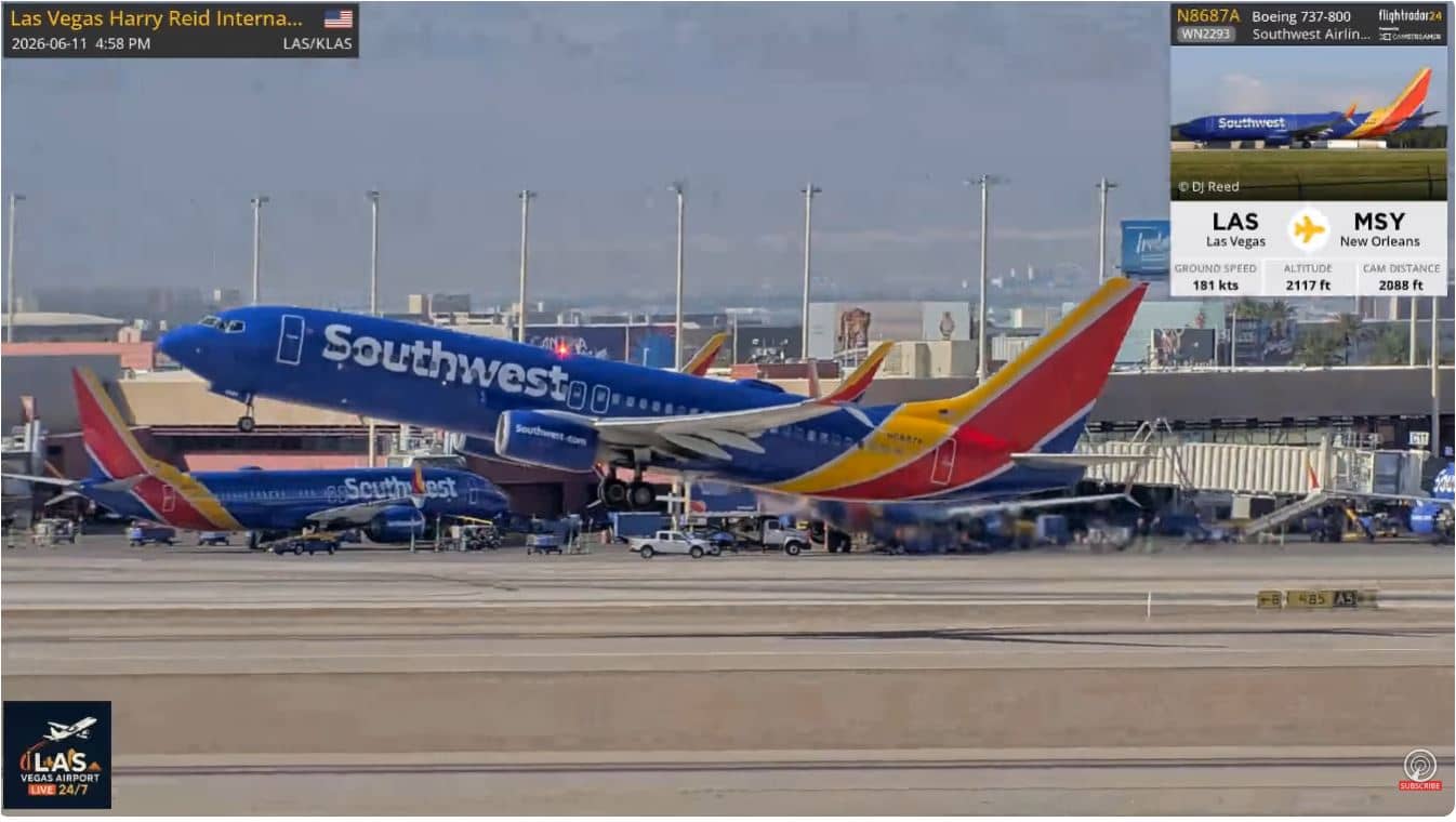
Nevada, United States — 258 km
Arizona, United States — 258 km

Nevada, United States — 259 km
The current conditions and a 3-day forecast for Lund are shown in the live weather block on this page. The values update automatically, so you can check them alongside the live view.
The local time for Lund is displayed on this page and follows the Pacific time zone used across western Nevada. The clock updates live together with the camera.
The camera is at about 38.48 degrees north and 115.02 degrees west, at roughly 1,630 metres elevation in White Pine County, eastern Nevada. The map on this page marks its position.
Late afternoon in summer often brings cloud build-up over the surrounding ranges, while winter mornings can show snow and clear, cold light. The best timing depends on the weather you want to see.
Partner links: we may earn a commission at no extra cost to you.