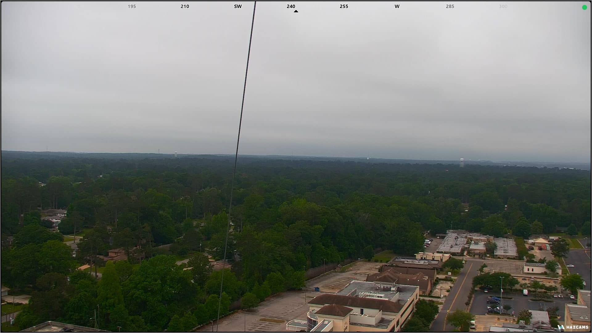
Hattiesburg
Mississippi, United States — 50 km
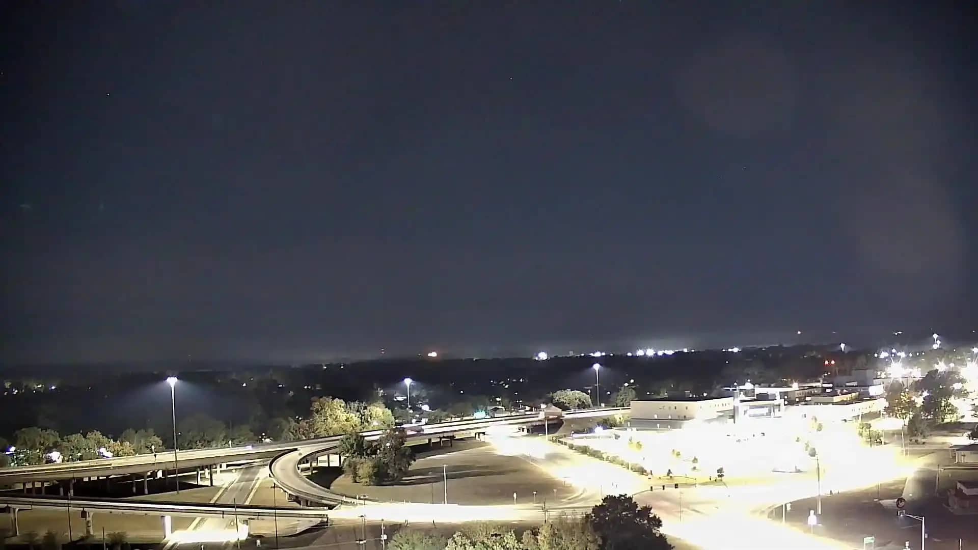
🇺🇸 Mississippi · United States — Altitude 74 m
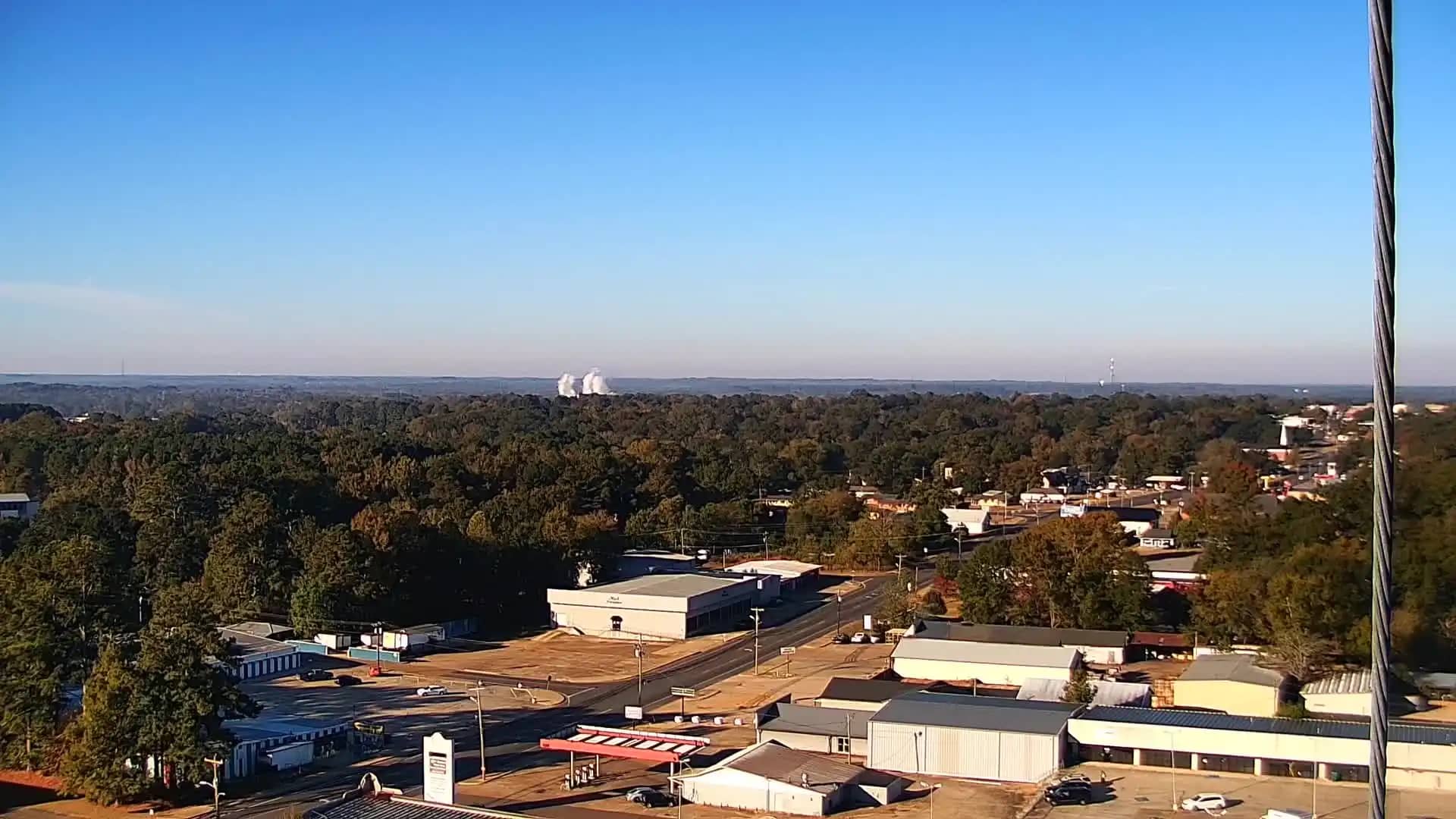
This live camera looks out over Laurel, a small city in south-central Mississippi. It is a simple way to check the scene and conditions here without travelling. The stream is provided by its owner and embedded with a link back to the source.
Laurel sits in the piney woods of southeastern Mississippi, roughly between Hattiesburg and the Alabama border. The city grew up around the timber and railroad industries and is known today for its historic downtown, its preserved early twentieth century buildings and its role as a regional shopping and service centre. The surrounding land is mostly forest, farmland and rolling countryside cut by rivers and creeks.
Because the camera is listed under general views, the exact scene depends on the angle, so you may see streets, buildings, trees or open sky. Mornings often bring mist over low ground, while afternoons in summer tend to be hazy and warm. Thunderstorms are common in late spring and summer, so the view can change quickly when a storm builds.
Laurel has a humid subtropical climate with hot, humid summers and mild winters. Spring and autumn are generally the most comfortable seasons for visiting. The city is near Interstate 59 and is about an hour's drive from Hattiesburg, the nearest large city. Other cameras in the wider region are listed on this page for comparison.
Source: hazcams.com
Mississippi, United States — 50 km
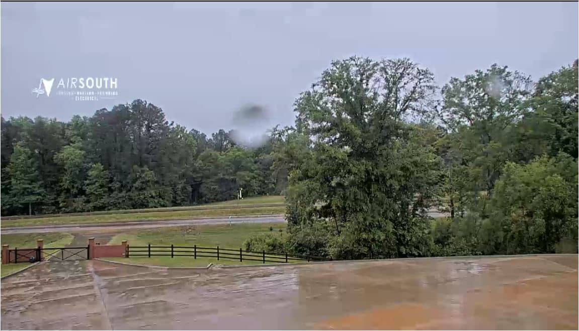
Mississippi, United States — 76 km
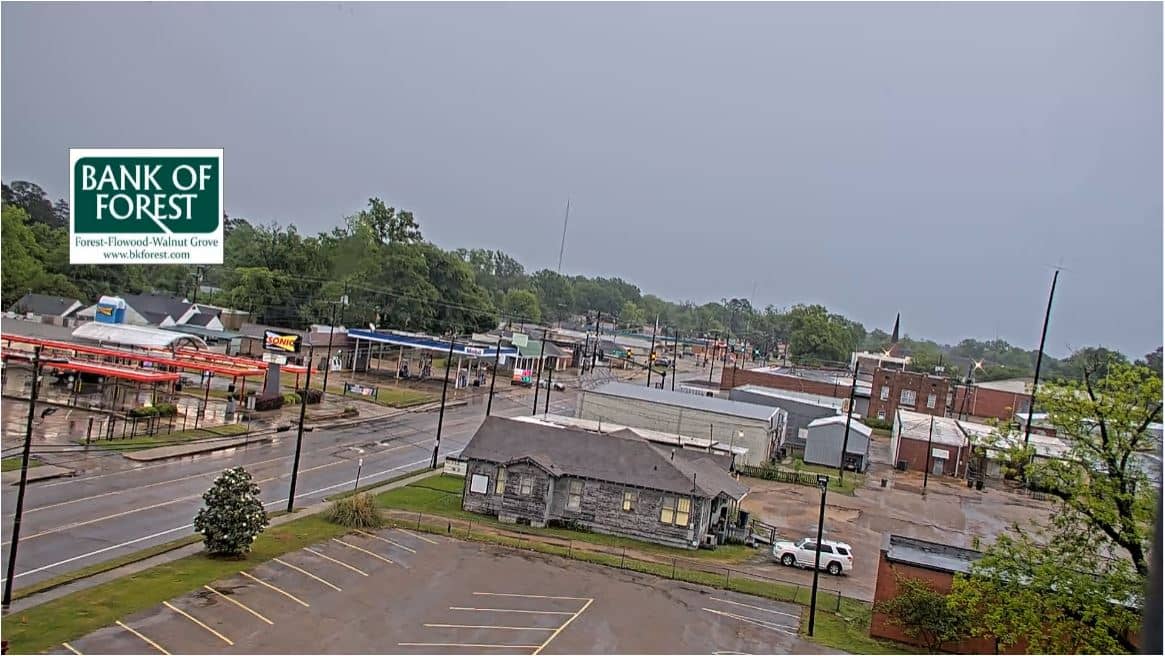
Mississippi, United States — 82 km
Mississippi, United States — 83 km
Mississippi, United States — 93 km
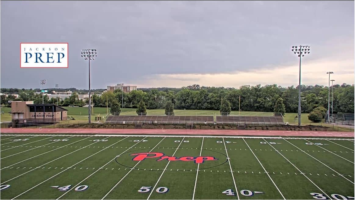
Mississippi, United States — 117 km

Mississippi, United States — 119 km
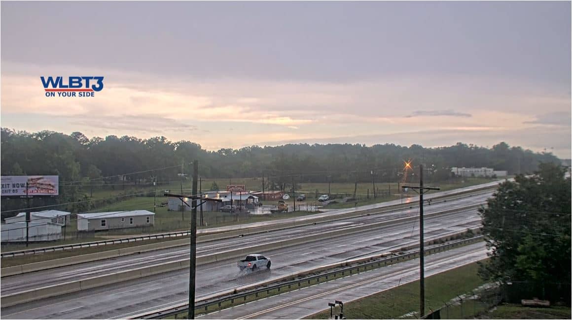
Mississippi, United States — 120 km
Mississippi, United States — 121 km
Mississippi, United States — 126 km
The current conditions and a three-day forecast for Laurel are shown in the live weather block on this page. They update automatically so you can check before you watch the camera.
The local time for Laurel is displayed on this page and follows the Central time zone used across this part of the United States.
The camera is placed in Laurel, Mississippi, at approximately 31.69 degrees north and 89.13 degrees west, at about 74 metres above sea level. The map on this page shows its position.
Daylight hours give the clearest view, and mornings are often calm and misty. Summer afternoons can bring thunderstorms, which make for dramatic changes in the sky.
Partner links: we may earn a commission at no extra cost to you.