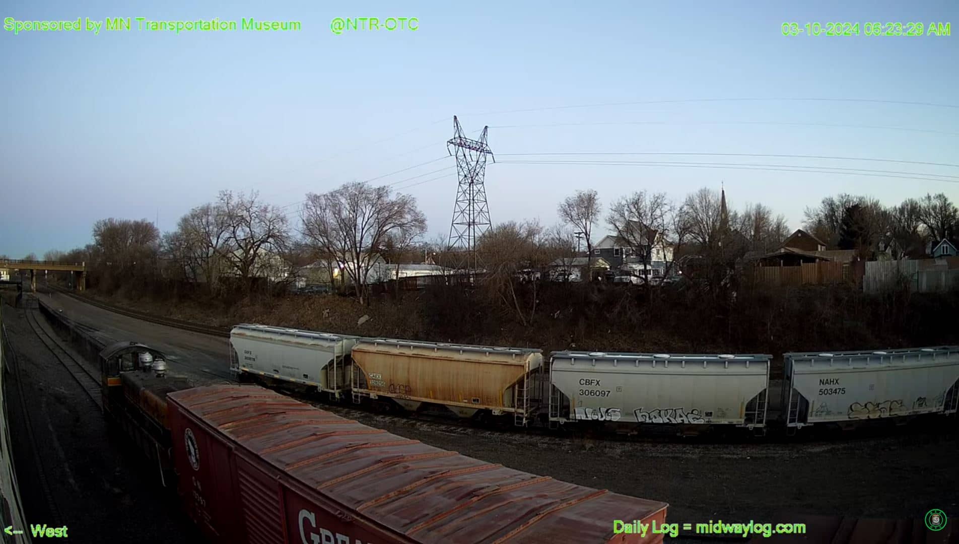
St Paul
Minnesota, United States — 4.8 km
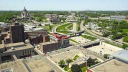
St. Paul - Saint Paul
🇺🇸 Minnesota · United States — Altitude 228 m
This live camera looks out over St. Paul, the capital of Minnesota on the Mississippi River. The stream is embedded from its owner, and this page adds the local time, current conditions and a map so you can judge the view before you watch.
St. Paul sits on the east bank of the Mississippi River, facing Minneapolis across the water and forming the core of the Twin Cities metropolitan area. The city is known for its historic neighborhoods, Victorian architecture, the state capitol building on a hill above downtown, and a long tradition of riverside parks and bluffs. Its atmosphere mixes government, universities and arts with a slower, residential pace than its larger neighbor.
Depending on the view, you may see downtown buildings, the river corridor or streets around the city center. Views of this kind change most with daylight and weather, so mornings and late afternoons often bring the clearest light. Winter brings snow and frozen river edges, while summer shows full green cover on the bluffs and trees. Check the current conditions shown on this page to see whether visibility is good right now.
St. Paul has a continental climate with cold, snowy winters and warm, humid summers, so late spring through early autumn is the most comfortable time to visit in person. The city is a short drive from Minneapolis and its airport. Nearby cameras on this site include views at Inver Grove Heights, Burnsville and Foley, which give a sense of the wider region around the metro area.
Source: earthcam.com
Minnesota, United States — 4.8 km
Minnesota, United States — 12 km
Minnesota, United States — 30 km

Minnesota, United States — 102 km
Minnesota, United States — 110 km
Wisconsin, United States — 122 km
Wisconsin, United States — 123 km
Wisconsin, United States — 126 km
Minnesota, United States — 137 km
Wisconsin, United States — 156 km
The current conditions and a three-day forecast for St. Paul are shown in the weather block on this page, updated with the page. Check it before you watch, since snow, fog or rain can reduce visibility on the camera.
The local time for St. Paul, Minnesota is displayed on this page. The city uses Central Time, so it may differ from your own time zone.
The camera is located in St. Paul, Minnesota, at approximately 44.95 degrees north and 93.09 degrees west, at an elevation of about 228 metres. The map on this page shows its position.
Daylight hours give the clearest picture, and clear mornings or late afternoons often offer the best light. Seasonal changes matter a lot in Minnesota, so compare the view with the current weather shown here.
Partner links: we may earn a commission at no extra cost to you.