
Boston - Weather Cam - City of Boston
Massachusetts, United States — 0 km
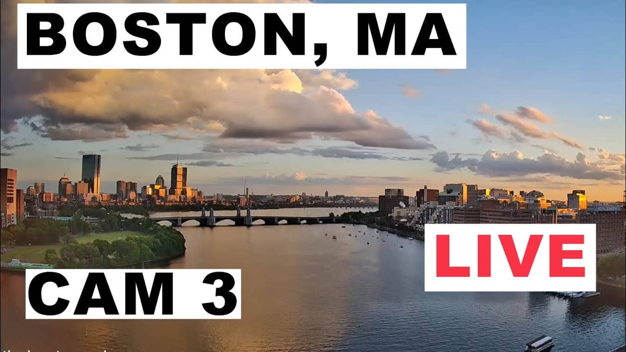
Boston - Weather Cam - Charles River
🇺🇸 Massachusetts · United States — Altitude 20 m
This live stream looks out over the Charles River in Boston, a broad tidal basin that runs between the city center and Cambridge. It is listed as a weather camera, so it is most useful for checking how the river and sky look right now. The page also shows local conditions and a short forecast.
The Charles River flows east through the Boston area into Boston Harbor, and it is a central part of the city's life. Its wide water surface and riverside paths make it a popular place for rowing, sailing and running. The landscape around it mixes green parkland with the skyline of the city, which is what gives Boston its distinctive look from the water. Massachusetts has a long history tied to the coast, and the river is one of the reminders of that connection.
Because the camera is a weather view, the most useful thing to check is the state of the water and the sky: wind on the river, cloud cover, rain and fog. Mornings and late afternoons often give the clearest light for judging conditions, while summer evenings tend to be busy along the banks. Winter views can show ice near the shore on cold days. The exact scene depends on the angle and the weather at the moment you watch, so the live picture is the best guide.
Boston has a humid continental climate with warm summers and cold, snowy winters, and spring and autumn are generally the most comfortable seasons to be outdoors. Weather can change quickly near the coast, so the forecast on this page is worth checking before you plan a river walk. The Boston Common and skyline views are nearby cameras you can open next to this one to compare conditions across the city.
Source: Boston and Maine Live
Massachusetts, United States — 0 km
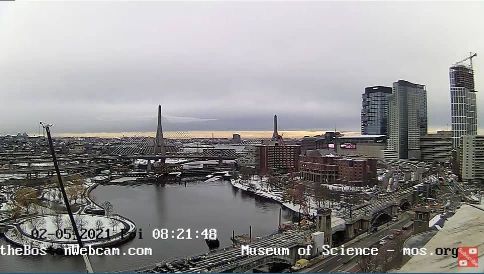
Massachusetts, United States — 0 km

Massachusetts, United States — 1.5 km
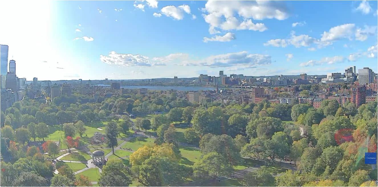
Massachusetts, United States — 1.6 km
Massachusetts, United States — 1.6 km

Massachusetts, United States — 3.2 km

Massachusetts, United States — 3.9 km

Massachusetts, United States — 19 km
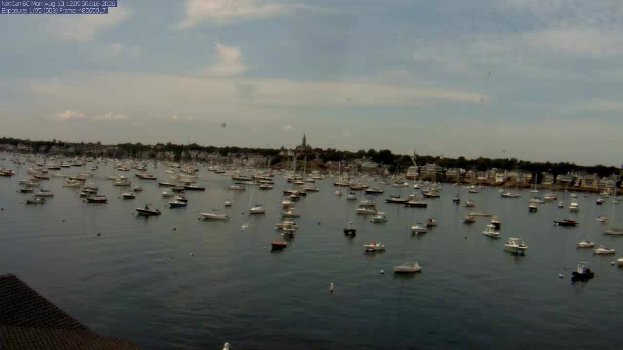
Massachusetts, United States — 25 km

Massachusetts, United States — 25 km
The current weather for this location is shown in the live block on this page, together with a three-day forecast. Values update as the page refreshes, so check there rather than relying on older information.
The local time for Boston is displayed on this page and follows the Eastern time zone used in Massachusetts. Daylight saving changes are applied automatically in the live time block.
The camera overlooks the Charles River in Boston, Massachusetts, United States, at about 20 metres above sea level. The map on this page marks its position so you can see how it relates to the city center.
Early morning and late afternoon usually give the clearest light and the calmest water. Check the weather block first, since wind and rain change how the river looks from one hour to the next.
Partner links: we may earn a commission at no extra cost to you.