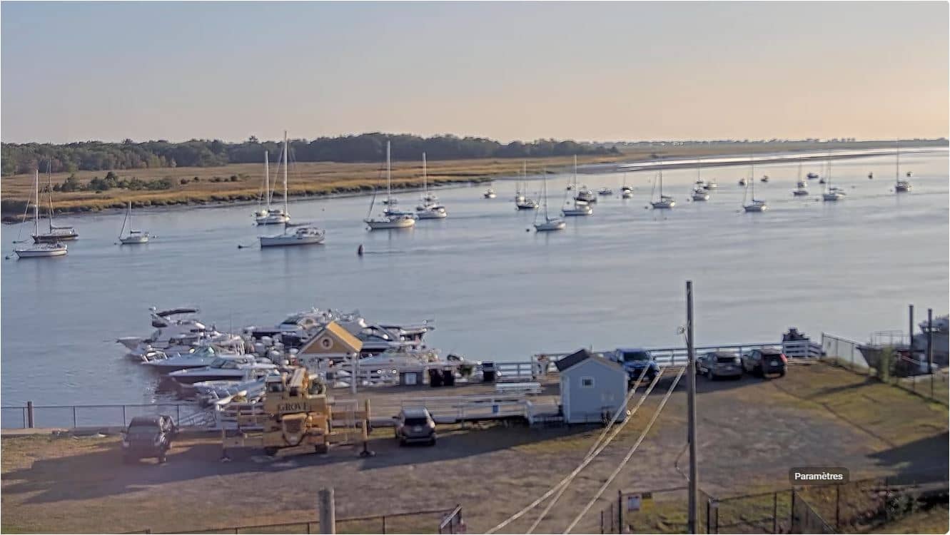
Newburyport - Merrimack River
Massachusetts, United States — 1.6 km
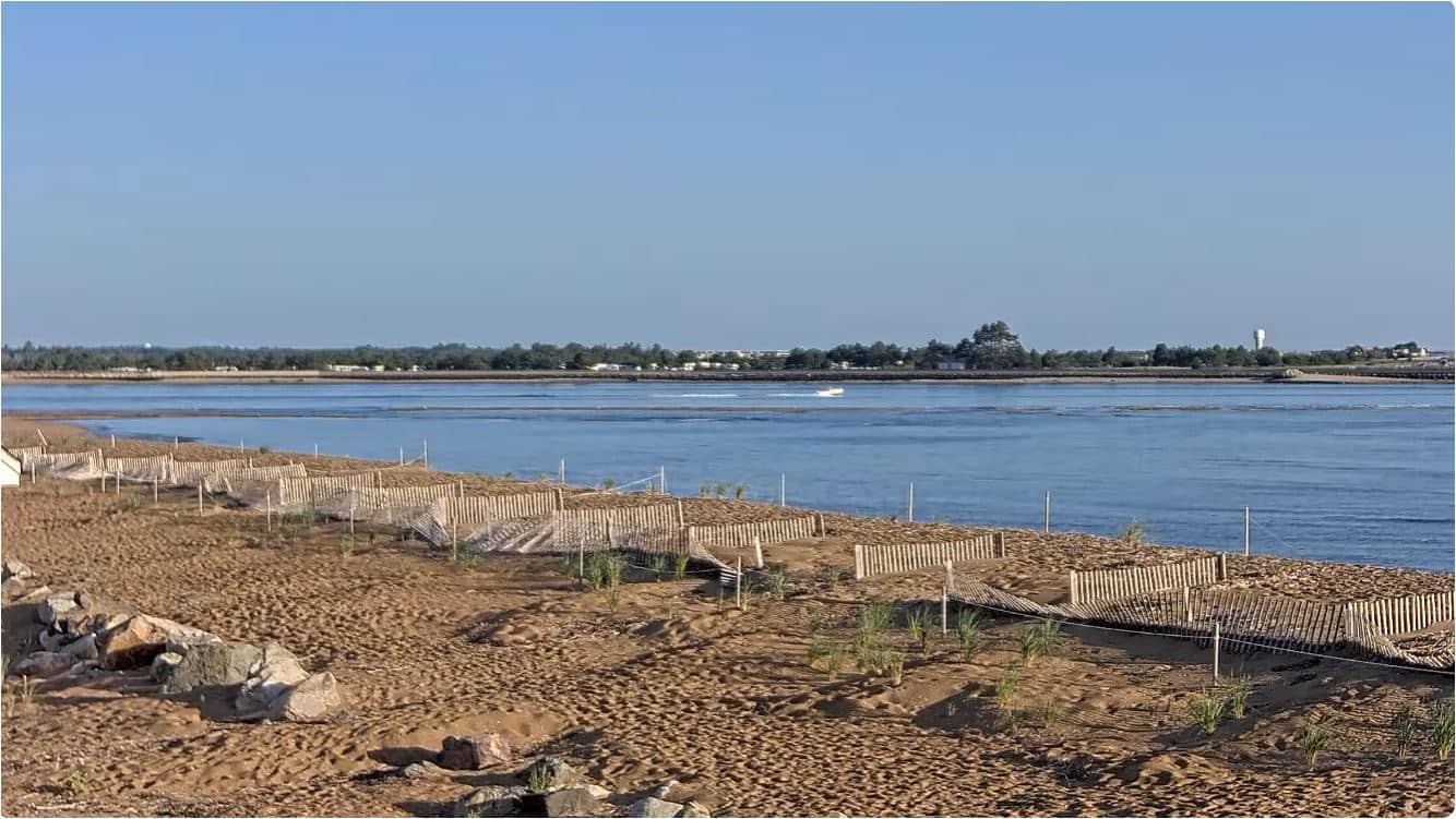
Newburyport - Plum Island Point - Merrimack River Mouth
🇺🇸 Massachusetts · United States — Altitude 2 m
This live stream looks out over Plum Island Point, where the Merrimack River reaches the Atlantic near Newburyport. It suits anyone wanting to check conditions on the coast of northern Massachusetts before a visit or simply to watch the water move.
Newburyport sits on the south bank of the Merrimack River a short distance inland from the sea. The river mouth and the long barrier beach of Plum Island shape the local landscape, with salt marsh, dunes and open water. The town is known for its historic waterfront, brick architecture and its role as a gateway to the Massachusetts North Shore.
The camera is titled around the point and river mouth, so the scene is likely to be dominated by tidal water, the shoreline and sky. Depending on the view, you may see boats moving in and out of the channel, changing tides and shifting light. Mornings and late afternoons often bring the clearest colours, and the water level changes noticeably with the tide.
The coast is cool and windy for much of the year, with the mildest weather usually from late spring to early autumn. Winter brings snow and strong winds off the Atlantic. Nearby cameras include Merrimack River, Salisbury and Salisbury Beach, which show neighbouring stretches of the same coastline and help you compare conditions along the shore.
Source: youtube.com
Massachusetts, United States — 1.6 km
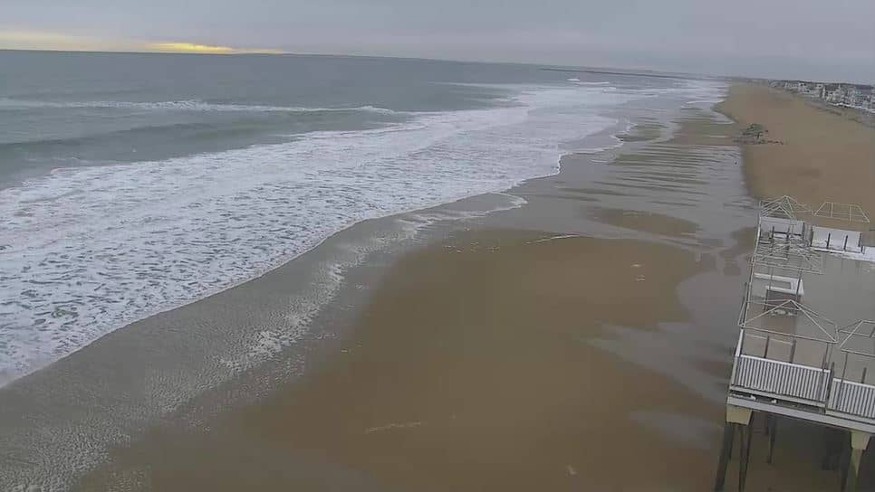
Massachusetts, United States — 3 km

Massachusetts, United States — 3.8 km
Massachusetts, United States — 4.1 km
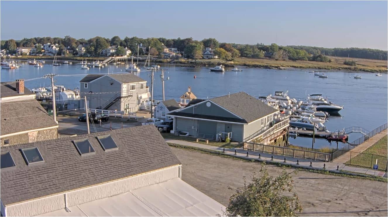
Massachusetts, United States — 4.4 km

Massachusetts, United States — 4.5 km
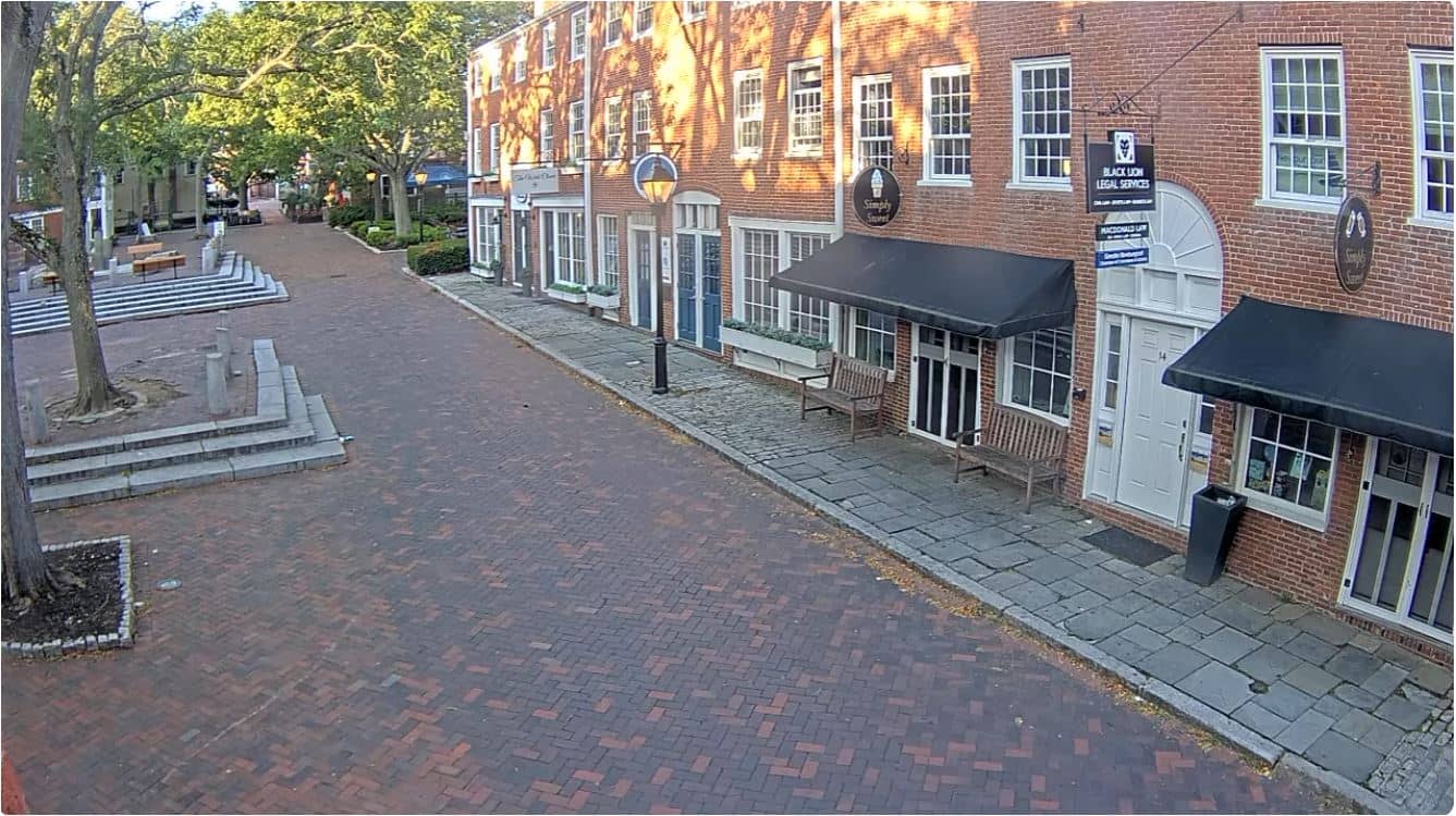
Massachusetts, United States — 4.5 km

Massachusetts, United States — 4.5 km

Massachusetts, United States — 4.8 km

New Hampshire, United States — 6.3 km
Current conditions and a three-day forecast for Newburyport are shown in the weather block on this page, updated automatically. Coastal wind can differ from inland readings.
The local time for Newburyport is displayed on this page and follows Eastern Time, including daylight saving changes. Check the clock block for the exact current time.
The camera is at Plum Island Point near the Merrimack River mouth, close to Newburyport in Massachusetts, United States. The map on this page marks its location.
Tide changes and daylight hours are the main factors, so early morning and late afternoon often give the clearest light. Check the tide information from the source if timing matters to you.
Partner links: we may earn a commission at no extra cost to you.