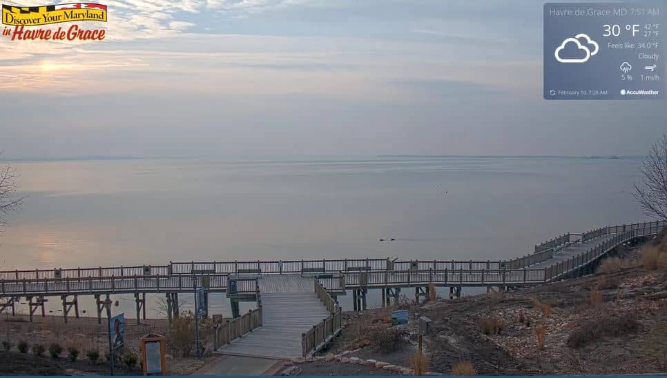
Havre de Grace
Maryland, United States — 11 km
🇺🇸 Maryland · United States — Altitude 7 m
This live camera looks out over Sandy Cove in North East, a small town on the upper Chesapeake Bay in Maryland. It is a useful window onto a sheltered shoreline where bay water, sand and marsh meet. Many people watch it to judge conditions before a day out on the water.
North East sits near the head of the Chesapeake Bay, close to the border with Delaware and the mouth of the Northeast River. The area is known for its calm waters, boating, crabbing and fishing rather than surf. The shoreline is shaped by tidal creeks, low bluffs and quiet coves, giving it a more relaxed character than the busier resorts further south on the Atlantic coast.
The camera is listed as a beach view, so you can expect to follow the water level, the sand and how the bay looks from hour to hour. The scene is usually most interesting in the morning and late afternoon, when light is softer and boats are more likely to be moving. Depending on the view, you may also notice changes from wind, rain or the tide, which are easy to check at a glance from the live stream.
Summers are warm and humid, while spring and autumn bring milder days that suit walking and wildlife watching. Winters are cold and the water can be grey and rough. Nearby, Havre de Grace is about 11 km away and makes a good companion stop. The wider Maryland region has more than thirty cameras, so you can compare conditions along the bay.
Source: earthcam.com
Maryland, United States — 11 km
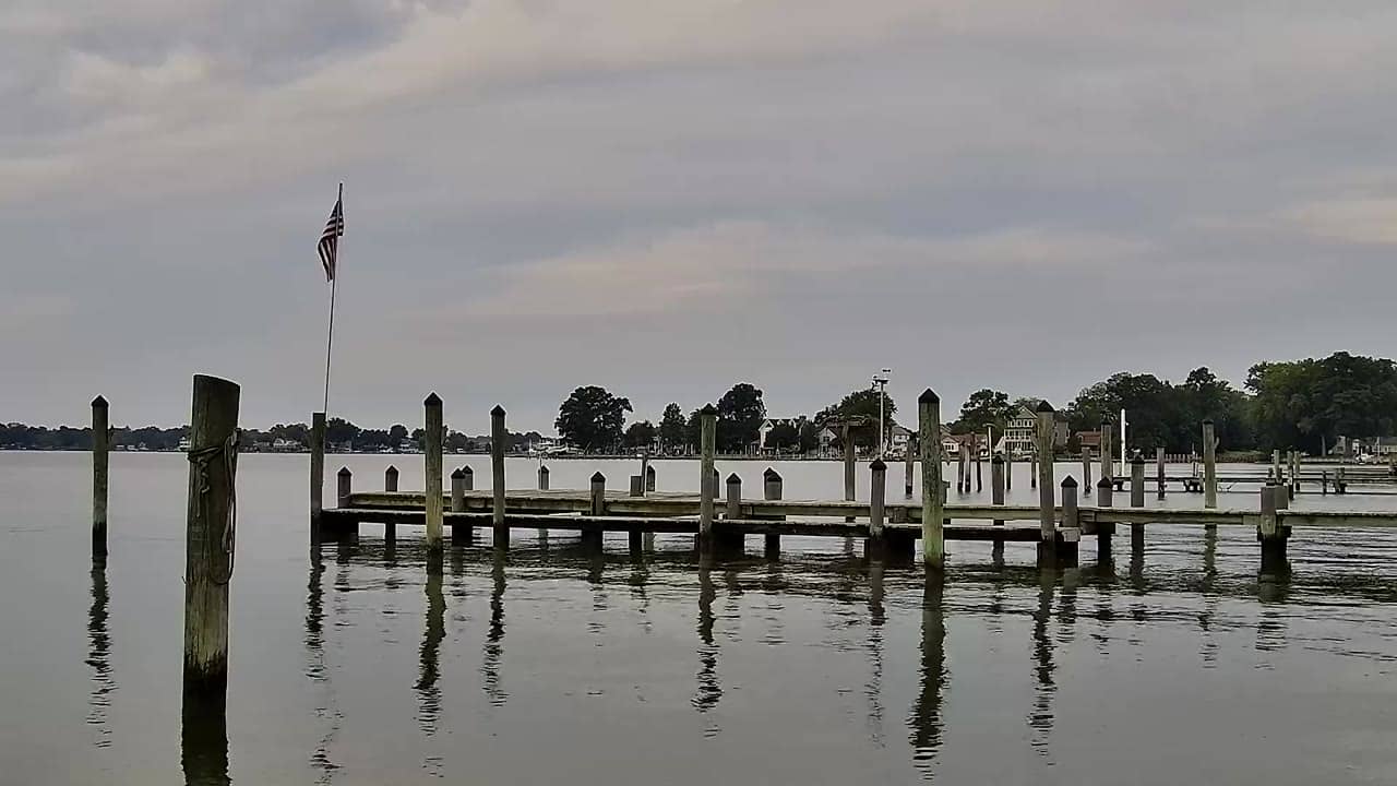
Maryland, United States — 47 km
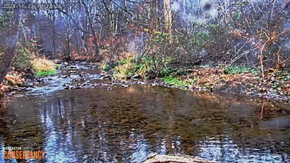
Pennsylvania, United States — 51 km
Pennsylvania, United States — 53 km
Pennsylvania, United States — 55 km
Delaware, United States — 58 km
Maryland, United States — 58 km
Maryland, United States — 61 km

Maryland, United States — 62 km

Maryland, United States — 62 km
The current conditions and a three-day forecast for North East are shown in the weather block on this page. They update with the live data, so you can check them before you head out.
The local time for North East is displayed on this page and follows Eastern Time in the United States. Use it to plan when to watch the stream for the best light.
The camera is located in North East, Maryland, near the upper Chesapeake Bay, at about 39.54 degrees north and 75.97 degrees west. The map on this page shows the exact position.
Early morning and late afternoon usually offer the softest light and the most activity on the water. Calm, clear days are the best for seeing the bay in detail.
Partner links: we may earn a commission at no extra cost to you.