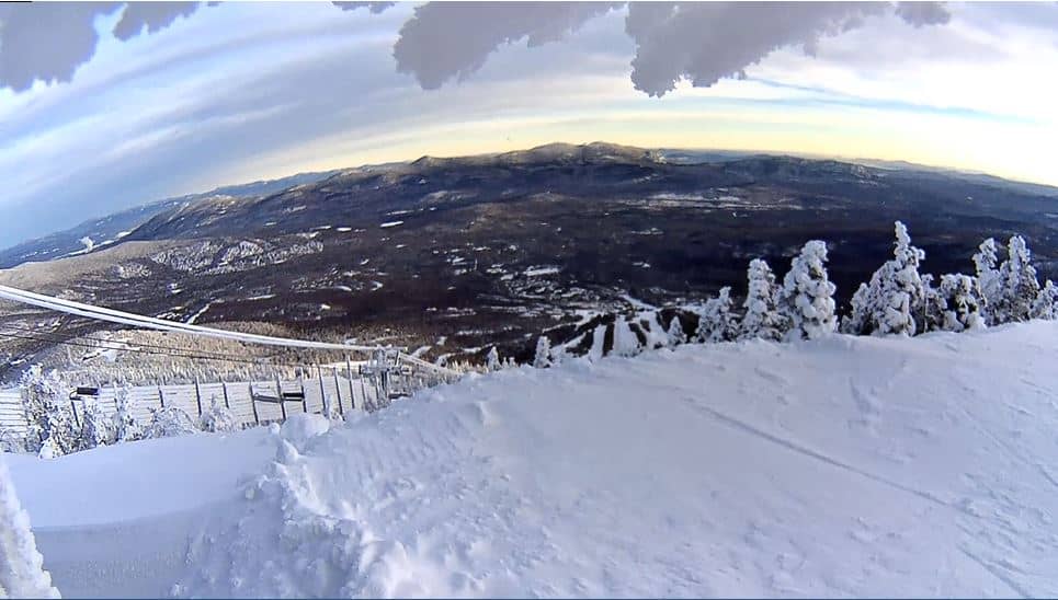
Sugarloaf Ski Resort
Maine, United States — 1.8 km
Carrabassett Valley - Sugarloaf - Bullwinkle's
🇺🇸 Maine · United States — Altitude 902 m
This camera looks toward the Sugarloaf area in Carrabassett Valley, a mountain community in western Maine at about 900 metres. It is useful for anyone wondering what conditions look like on the slopes or in the village right now, before deciding on a drive or a day outdoors.
Carrabassett Valley sits in the Longfellow Mountains of western Maine, a quiet stretch of forest, lakes and granite ridges. Sugarloaf is the best-known feature nearby, a large ski mountain that draws visitors mainly for winter sports. Outside the snow season the valley is a base for hiking, mountain biking and the wide, calm scenery typical of northern New England.
The live player is a useful way to judge snow cover, cloud on the peaks and general visibility from the valley. Views are most informative in the morning, when low cloud or fresh snow is easiest to spot, and in late afternoon when the light turns warm on the ridges. Conditions change quickly in the mountains, so a view that looks clear can shift within an hour.
Winters are cold and snowy, with heavy snowfall common from December through March, while autumn brings bright foliage and summers are mild and pleasant. The nearest cameras on this site include Sugarloaf Ski Resort about 2 km away, and West Forks and the Sunday River area further afield. Check the weather block on this page before travelling, as mountain roads can be affected by weather.
Source: CamStreamer
Maine, United States — 1.8 km
Maine, United States — 9.9 km
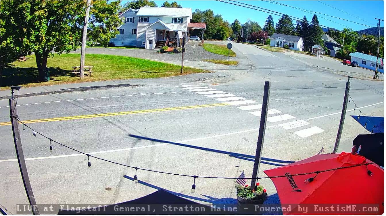
Maine, United States — 14 km

Maine, United States — 14 km
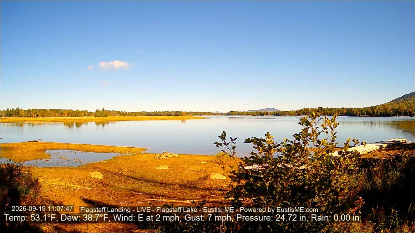
Maine, United States — 18 km
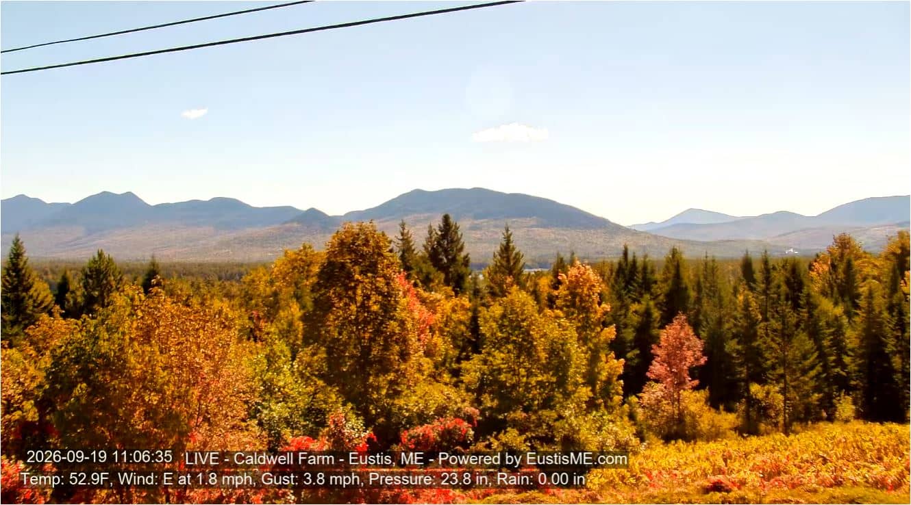
Maine, United States — 19 km
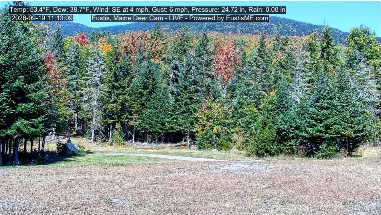
Maine, United States — 23 km
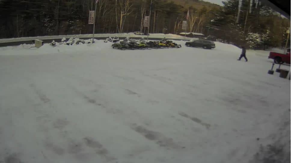
Maine, United States — 36 km
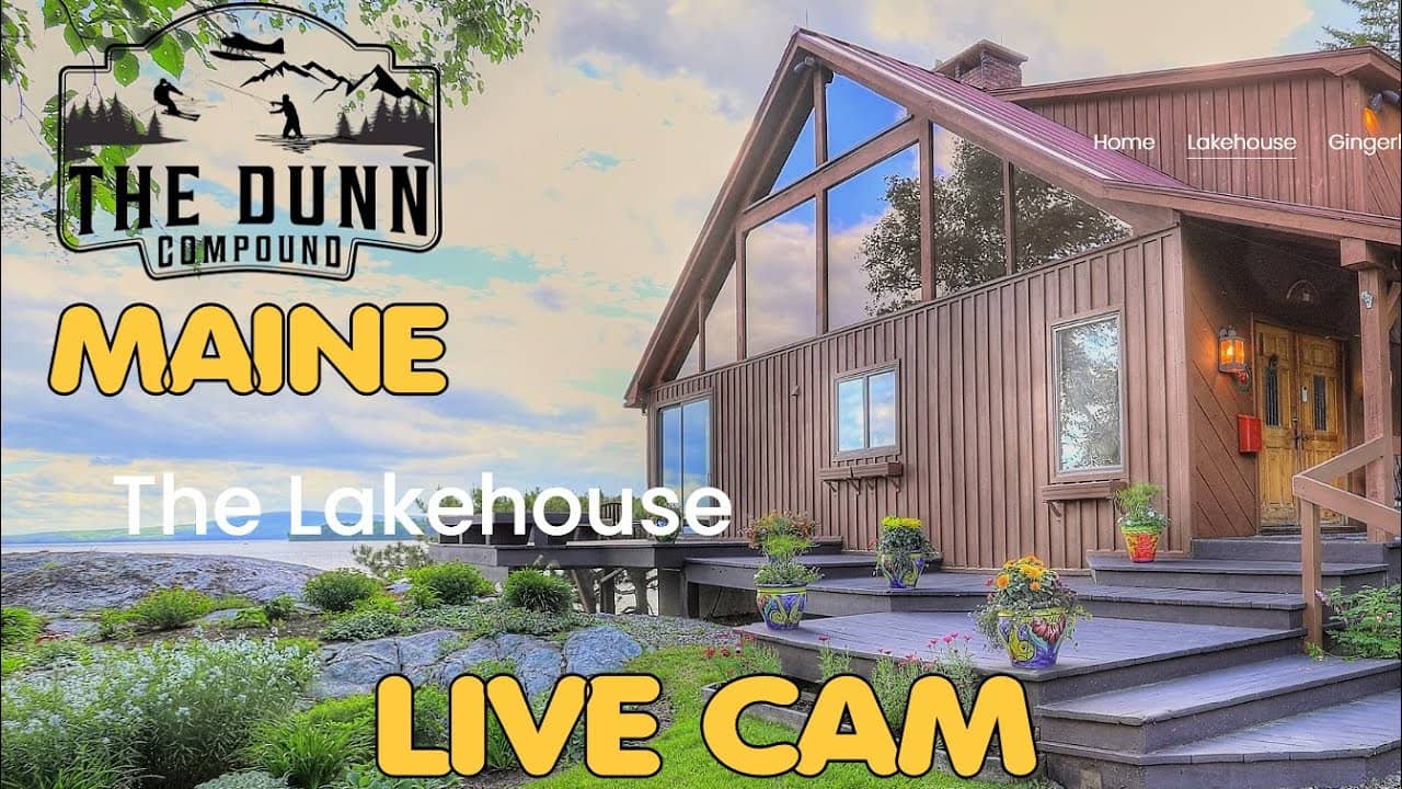
Maine, United States — 38 km

Maine, United States — 65 km
The current conditions and the three-day forecast are shown in the weather block on this page. Mountain weather can differ noticeably from the nearest towns, so check it before setting out.
The local time for Carrabassett Valley is shown in the live time block on this page. Maine follows Eastern Time, with daylight saving applied in summer.
The camera is in Carrabassett Valley, Maine, at roughly 900 metres altitude. The map on this page marks its position near the Sugarloaf area.
Morning is good for seeing cloud and snow cover clearly, and late afternoon gives warm light on the surrounding ridges. Winter weekends are often busiest for the slopes.
Partner links: we may earn a commission at no extra cost to you.