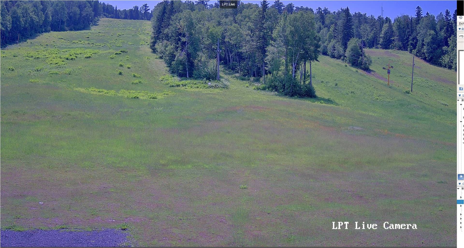
Fort Kent - Lonesome Pine Trails
Maine, United States — 61 km
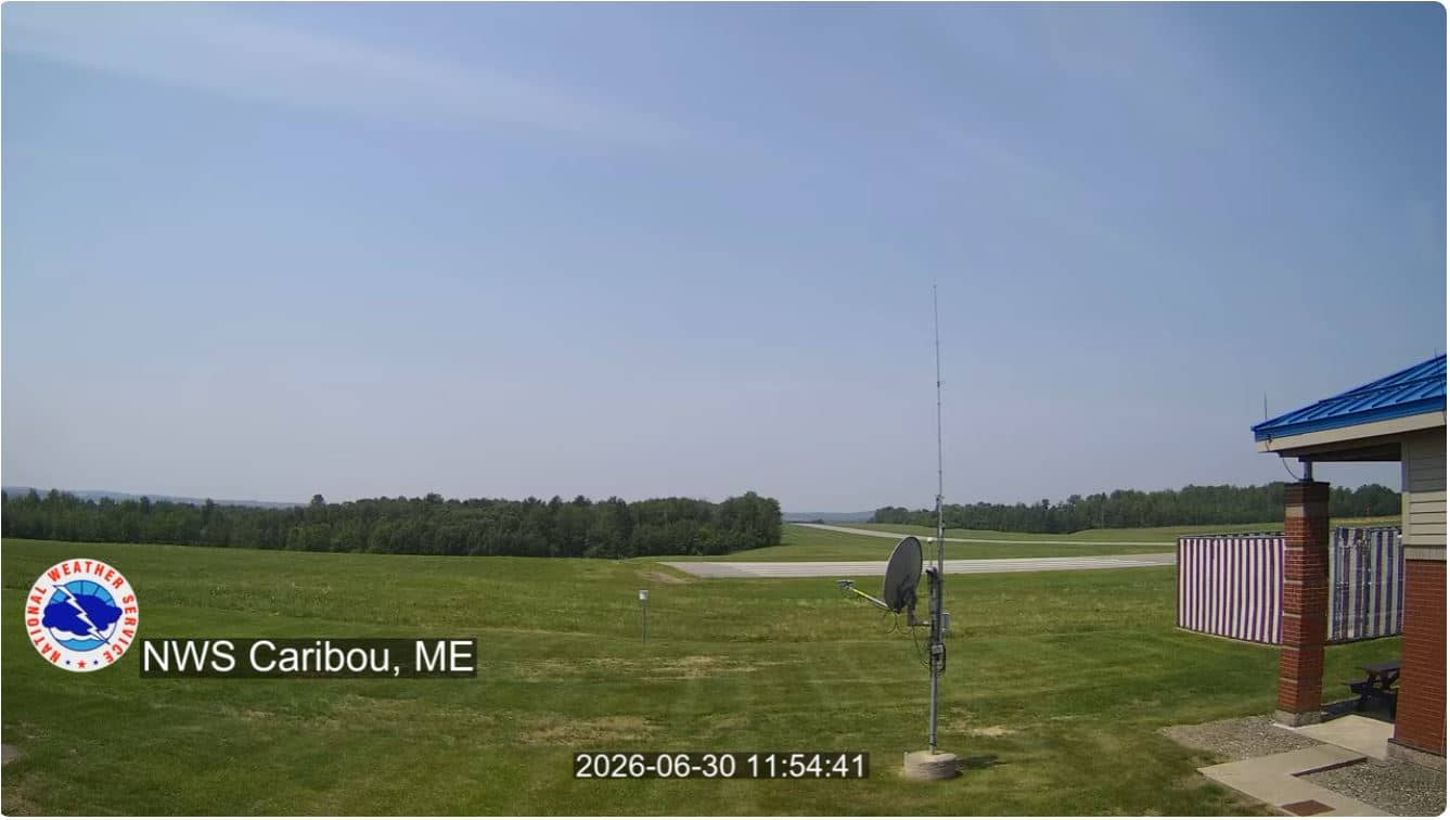
Caribou - Aéroport
🇺🇸 Maine · United States — Altitude 191 m
This live stream looks out over Caribou Airport in the far north of Maine, close to the Canadian border. It is a practical window on the town's weather and air traffic, and a good way to see how conditions look before you travel to this part of the state.
Caribou is a small city in Aroostook County, the largest county in Maine and one of the most rural parts of the eastern United States. The landscape is dominated by forests, farmland and lakes, and the area is known for its potato fields and its long, quiet winters. The city sits at roughly 190 metres above sea level, on the plateau that rises gently toward the Canadian provinces to the north.
The stream is titled after the airport, so the view is likely to center on the runway, apron and surrounding fields, though the exact framing depends on the camera position. Activity is usually lowest in the early morning and busiest around scheduled departures. In winter, snow cover and low sun can make the scene especially striking, and in the warmer months the fields and tree lines change colour noticeably from week to week.
Caribou has cold, snowy winters and warm, short summers, so late June through September is the most comfortable time to visit. The city is reached by road from Bangor and Houlton, and the airport offers limited commercial service. Other cameras in the region include Fort Kent, about 61 km away, Houlton at 84 km, and Danforth near East Grand Lake at 134 km.
Summer days are mild and long, while winter brings deep snow and temperatures that often fall well below freezing. Checking the live weather on this page before you watch can help you understand what you are seeing.
Source: NWSCaribou
Maine, United States — 61 km
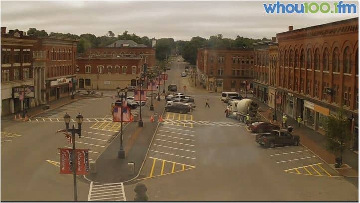
Maine, United States — 84 km
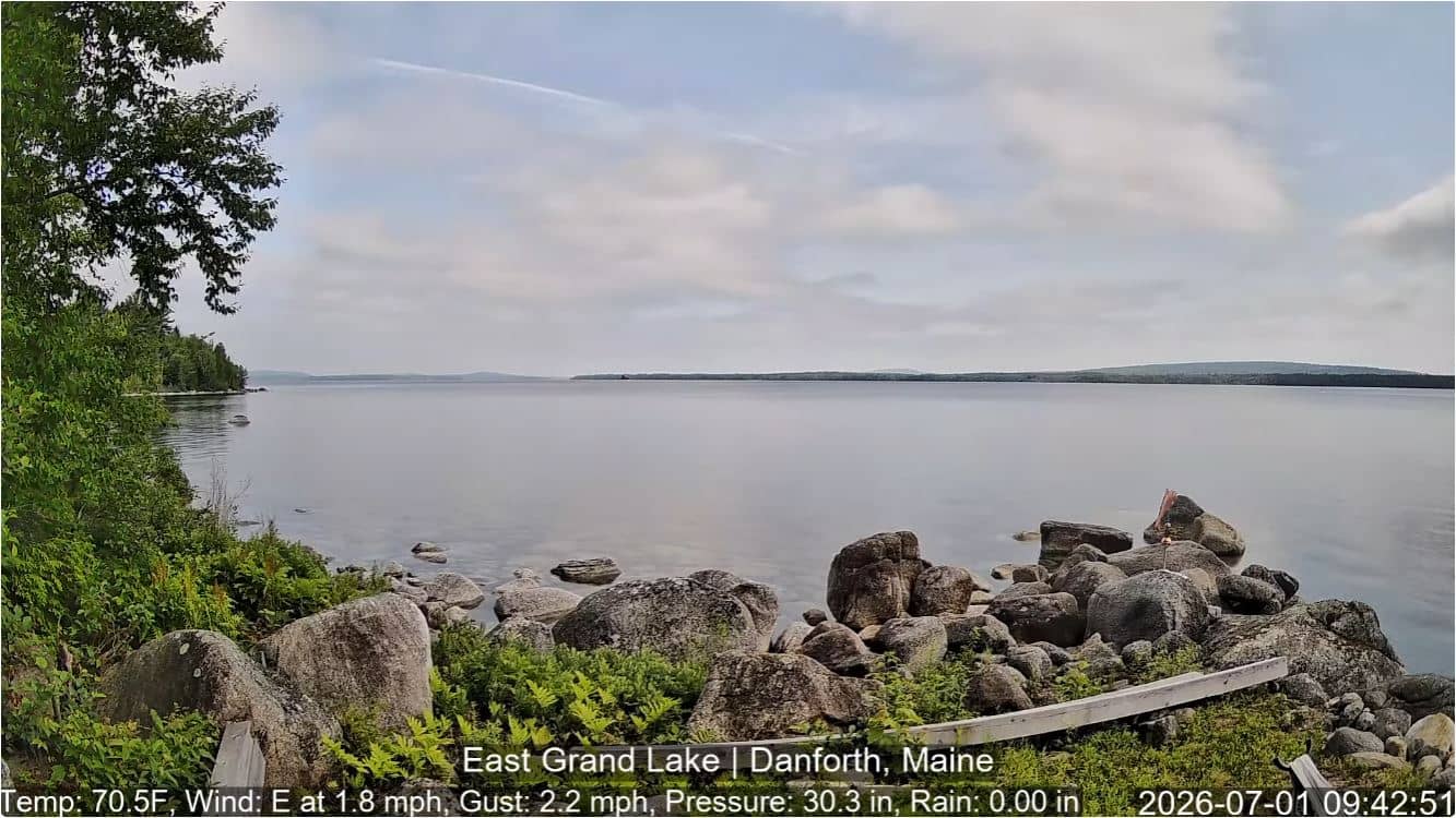
Maine, United States — 134 km

New Brunswick, Canada — 151 km

Maine, United States — 154 km
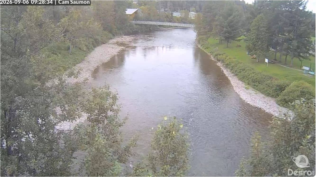
Quebec, Canada — 176 km

Maine, United States — 188 km

Maine, United States — 188 km
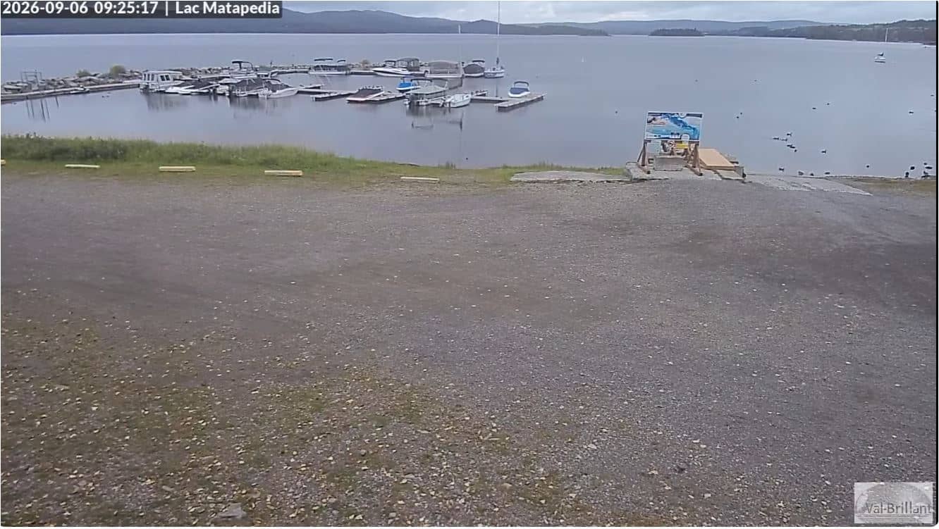
Quebec, Canada — 189 km
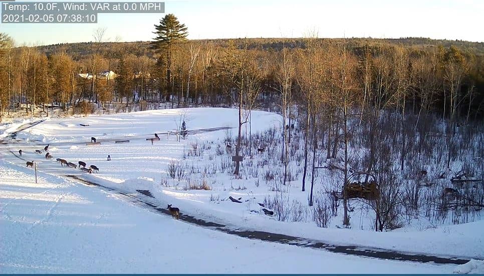
Maine, United States — 190 km
The current conditions and a three-day forecast for Caribou are shown in the live weather block on this page. They update automatically, so you do not need to search elsewhere.
The local time for Caribou, Maine, is displayed on this page and follows the Eastern time zone used in that part of the United States.
The camera is located in Caribou in Aroostook County, northern Maine, at an elevation of about 191 metres. The map on this page marks its position.
Daylight hours give the clearest picture, and winter mornings with snow cover are often the most dramatic. Weather conditions shown on the page can help you choose the right moment.
Partner links: we may earn a commission at no extra cost to you.