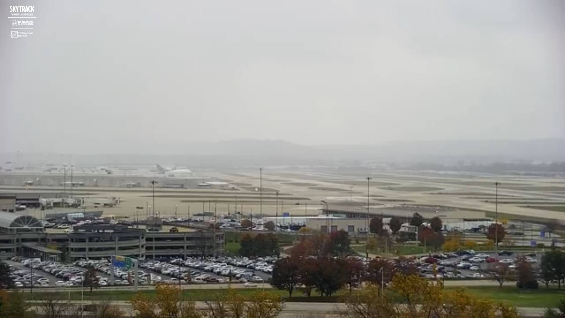
Louiseville
Kentucky, United States — 6.6 km
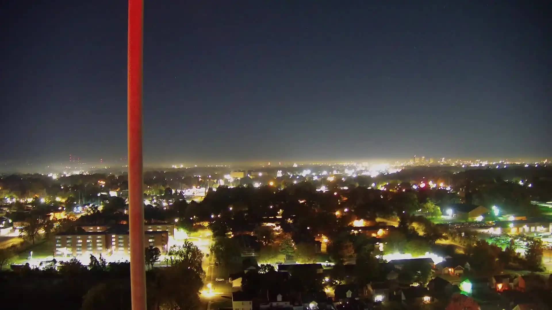
🇺🇸 Kentucky · United States — Altitude 139 m
This live view covers Shively, a city district on the southwest side of Louisville, Kentucky. It is useful for a quick check of conditions in the area before you travel or for following the weather in this part of the Ohio River valley.
Louisville is the largest city in Kentucky and sits on the south bank of the Ohio River, where the state meets Indiana. Shively lies within the wider metropolitan area and is largely residential, with a mix of housing, shops and access roads. The region is known for its bourbon distilleries, its horse racing heritage and its rolling, wooded hills to the south and east.
The title names the Shively district rather than a specific landmark, so the view should be read as a general look at this part of the city. Watch in daylight to see the sky and weather developing over the area. Spring and autumn often bring the most changeable skies, while summer mornings tend to be calmer before afternoon storms build.
Louisville has a humid subtropical climate with hot, humid summers and cool, wet winters. Spring and autumn are generally the most comfortable seasons for visiting. Nearby cameras in the area include the Louisville Downtown, Louisville Zoo and Glacier Run views, which give a broader picture of the city from a few kilometres away.
Source: hazcams.com
Kentucky, United States — 6.6 km
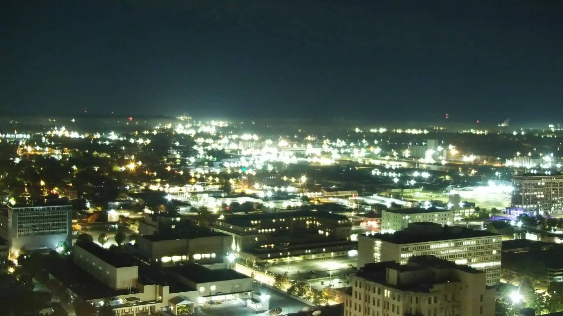
Kentucky, United States — 8 km

Kentucky, United States — 8.2 km

Kentucky, United States — 8.2 km

Kentucky, United States — 8.2 km
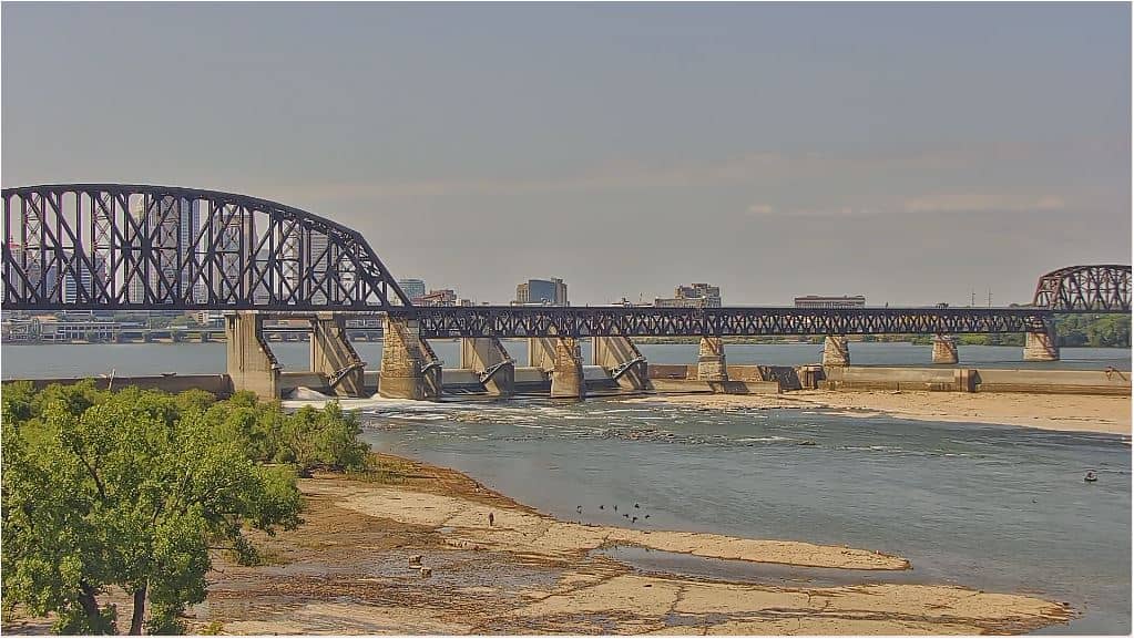
Ohio, United States — 10 km
Kentucky, United States — 11 km
Indiana, United States — 11 km
Kentucky, United States — 13 km
Kentucky, United States — 18 km
The current conditions and a three-day forecast for this location are shown in the weather block on this page. The figures update on their own, so you do not need to reload the page.
The local time for this camera is displayed on the page and follows the Eastern or Central time rules used in Kentucky, including daylight saving changes.
The camera is in the Shively district on the southwest side of Louisville, Kentucky, at approximately 38.19 north and 85.80 west. The map on this page marks its position.
Daytime hours give the clearest view of the sky and conditions. Check the forecast on the page first, since clear mornings and storms in the afternoon are common in this part of Kentucky.
Partner links: we may earn a commission at no extra cost to you.