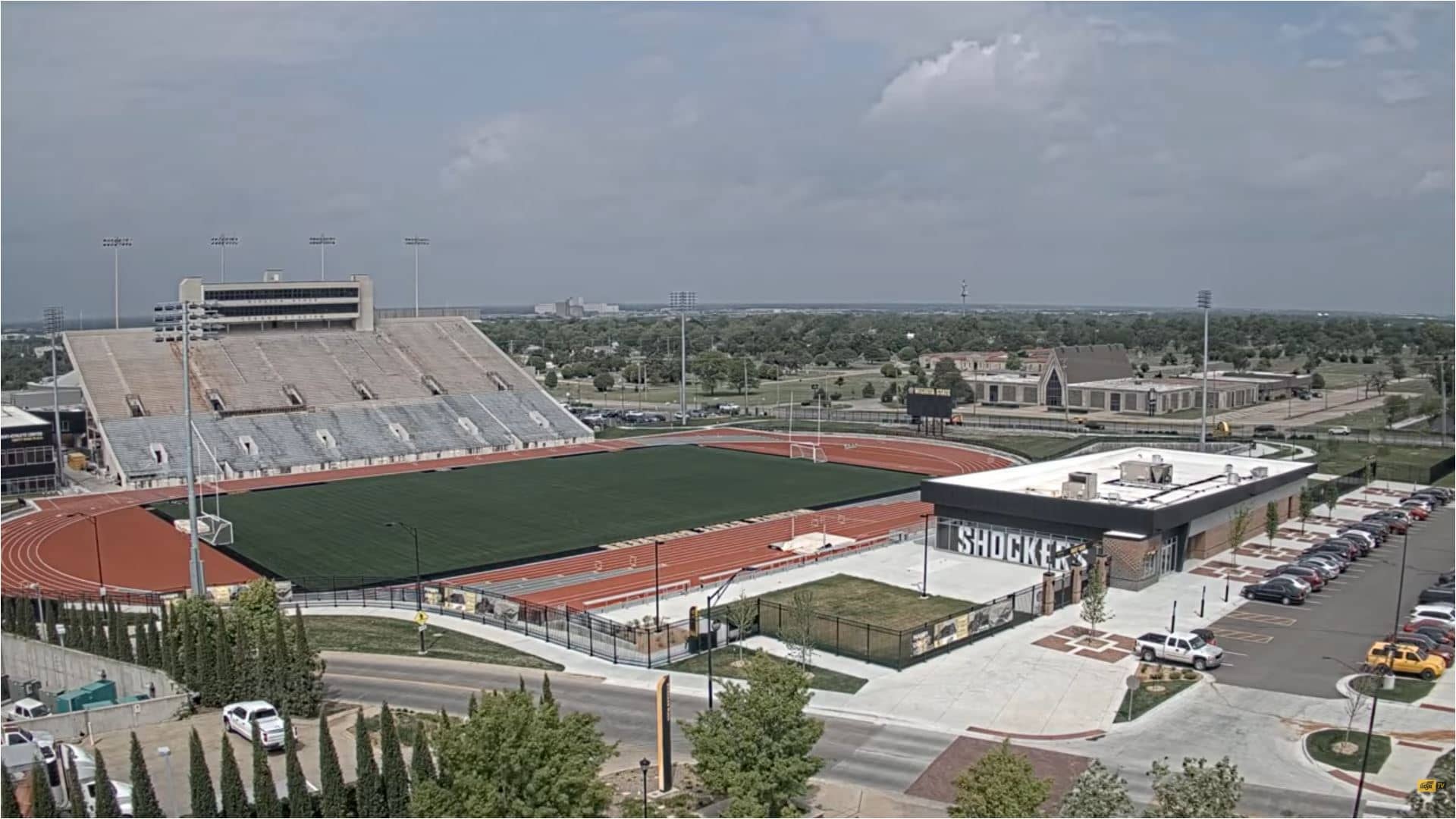
Wichita
Kansas, United States — 6.5 km
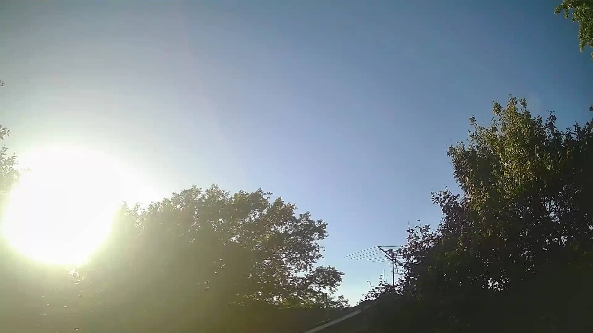
Wichita - East
🇺🇸 Kansas · United States — Altitude 413 m
This live camera looks out over the eastern side of Wichita, the largest city in Kansas. It is a useful window onto the open prairie sky that shapes daily life here. Check the stream to see current conditions before planning a trip or a drive through the area.
Wichita sits on the Arkansas River in south-central Kansas, where the flat plains of the Great Plains meet a generous, wide horizon. The city grew around agriculture, grain milling and later aviation manufacturing, and it is often called the Air Capital of the World. The landscape around it is mostly open grassland and farmland, so weather systems are easy to see coming from far away.
The view is most interesting when the sky is doing something: towering summer clouds, approaching thunderstorms, or the flat light of early morning and late evening. Winter days can be crisp and clear, while spring often brings fast-moving fronts. Because the camera shows the live scene, you can judge the sky yourself rather than relying on a forecast alone.
Kansas has a continental climate with hot, humid summers and cold winters, and spring and autumn are generally the most comfortable seasons for visiting. Wichita has an airport and is served by major highways that connect it to nearby towns. The nearby Andover area, about 12 km away, and other city cameras are listed on this page for comparison of conditions across the region.
Source: hazcams.com
Kansas, United States — 6.5 km
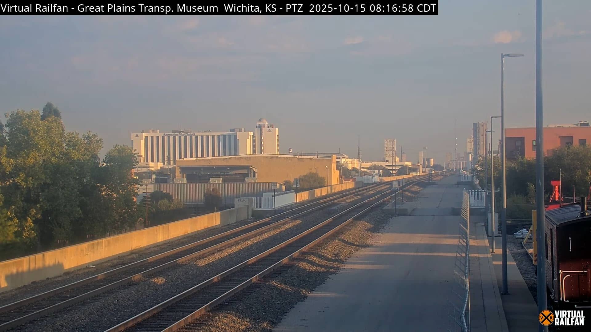
Kansas, United States — 6.6 km
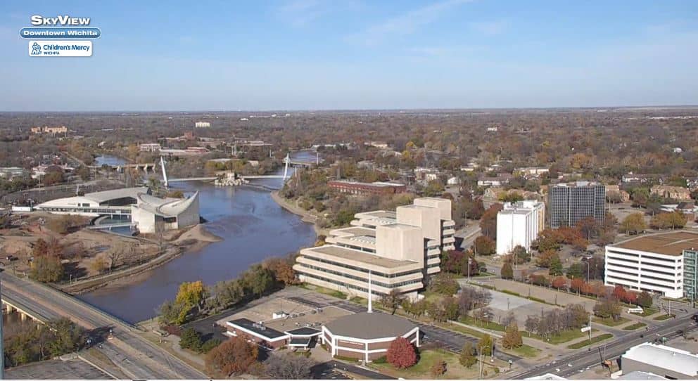
Kansas, United States — 7.9 km
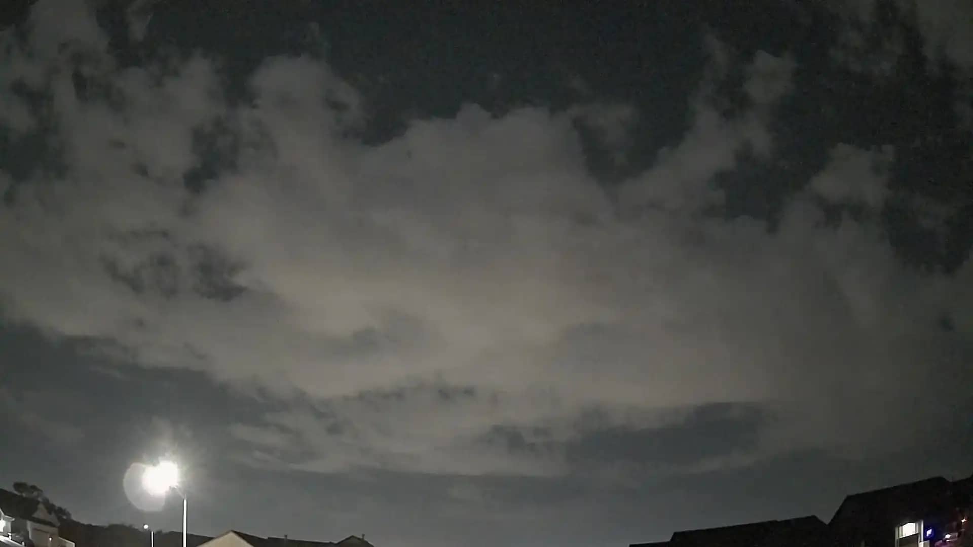
Kansas, United States — 12 km
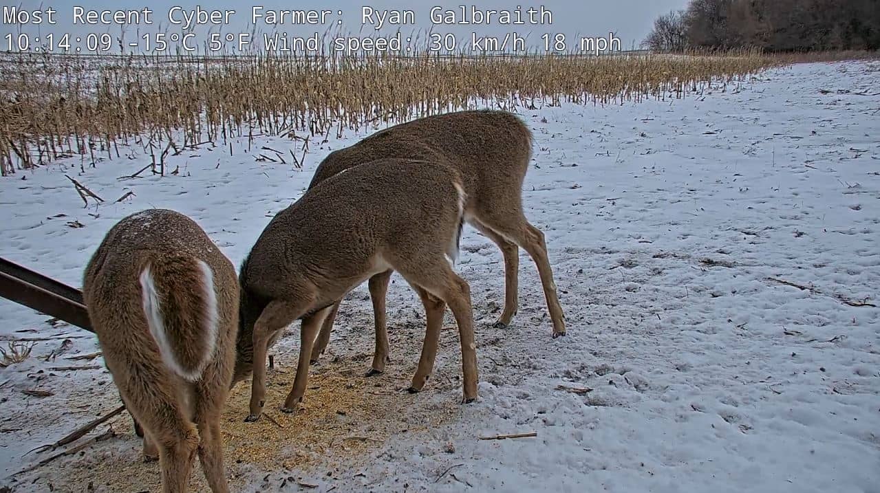
Kansas, United States — 65 km
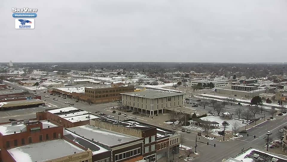
Kansas, United States — 73 km
Kansas, United States — 75 km
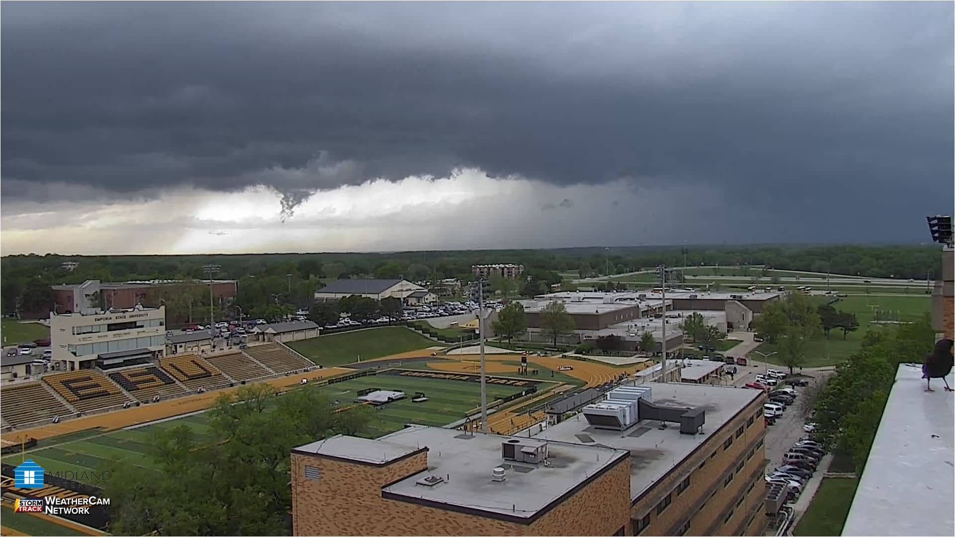
Kansas, United States — 126 km
Kansas, United States — 134 km
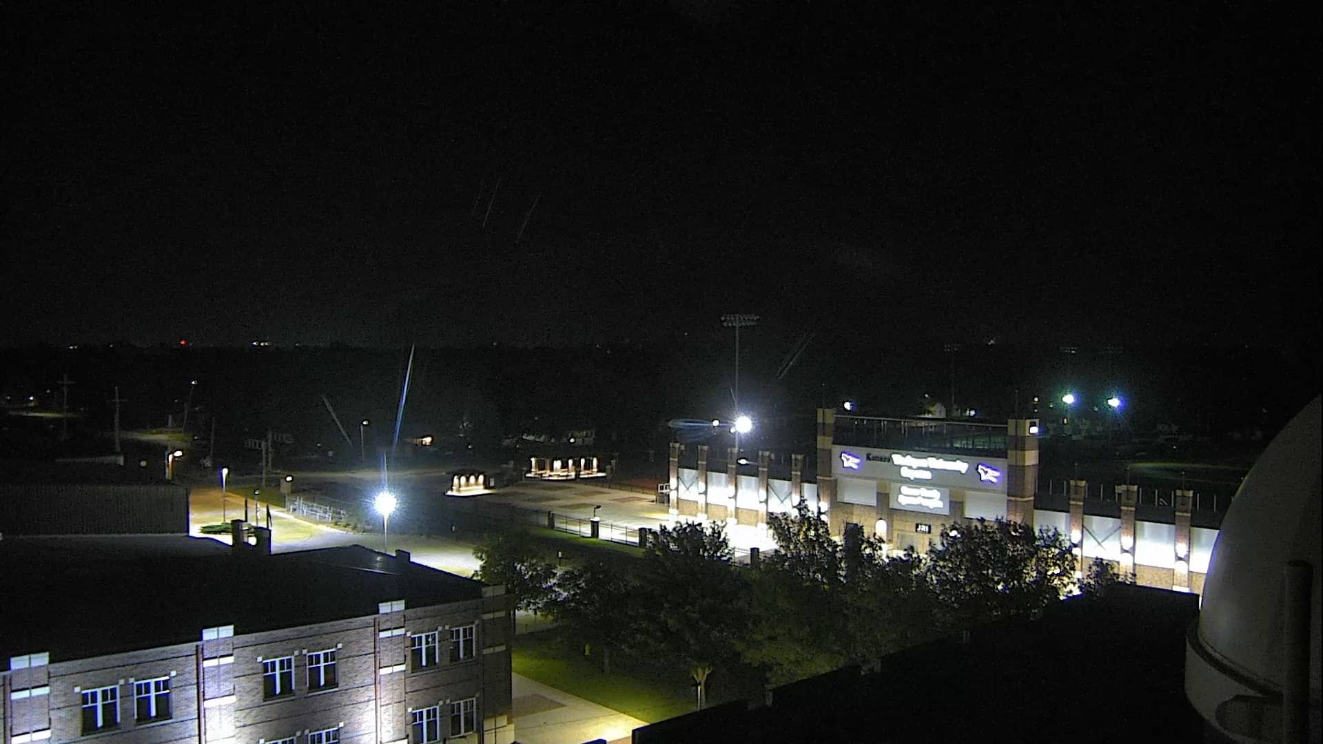
Kansas, United States — 136 km
The current weather and a 3-day forecast for this location are shown in the live block on this page. Conditions can change quickly on the plains, so check the forecast before heading out.
The local time for Wichita is displayed on this page and updates automatically. Wichita uses Central Time, so it may differ from your own time zone.
The camera is in Wichita, Kansas, at approximately 37.67 north and 97.26 west, at an elevation of about 413 metres. A map on the page shows its position in the city.
Late afternoon and evening often show the most dramatic skies, especially in spring and summer when storms build. Clear mornings are good for seeing the sky without haze.
Partner links: we may earn a commission at no extra cost to you.