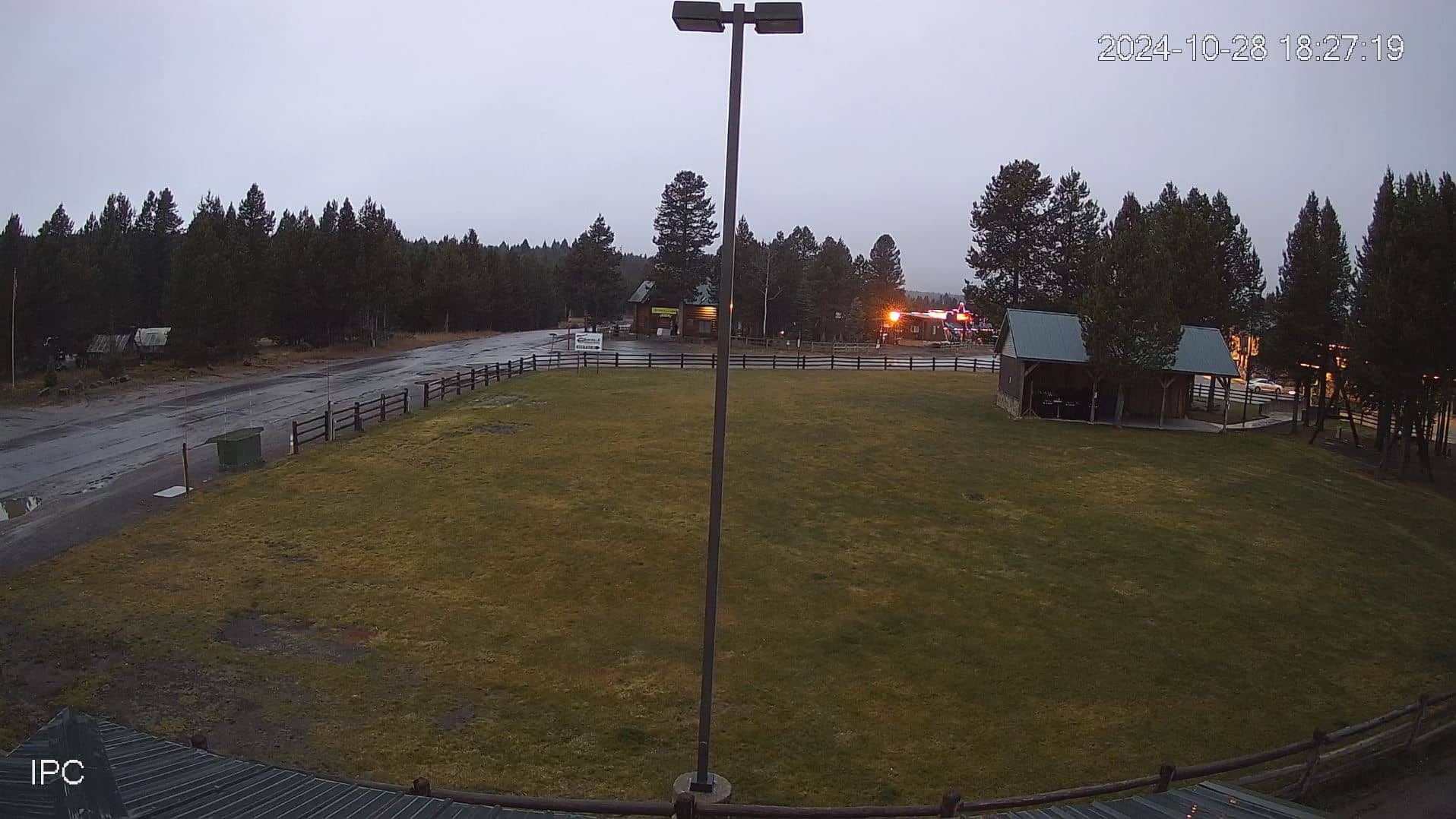
Island Park
Idaho, United States — 19 km
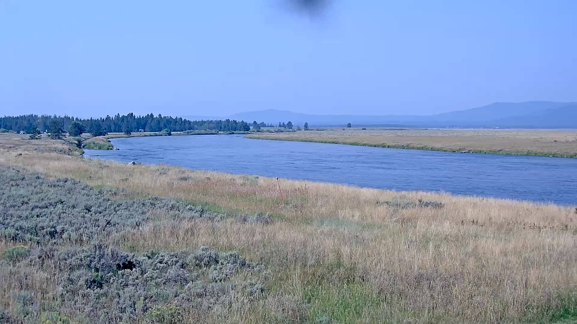
Ashton - Troutcam
🇺🇸 Idaho · United States — Altitude 1873 m
This live camera looks out over the Ashton area in eastern Idaho, a small town on the Henrys Fork of the Snake River. It is a useful window for anyone curious about the river valley and the mountain weather in this part of the Rockies. The page also gives you the local time and conditions alongside the stream.
Ashton sits in the Upper Snake River region of eastern Idaho, at roughly 1,870 metres above sea level, surrounded by forested ridges and open meadows. The town is widely known as a base for fly fishing on the Henrys Fork, one of the most celebrated trout streams in the American West. The area is quiet and rural, with a strong link to outdoor recreation, farming and the seasonal rhythms of the river.
The Troutcam is listed as a mountain-category camera, so its view is likely centred on the river, the landscape and the sky above the valley. Depending on the angle, you may see water conditions, changing light over the ridges, snow in winter and green meadows in summer. Early morning and late evening are often the most atmospheric times, when the light is low and the river reflects the sky.
Winters in this part of Idaho are cold and snowy, while summers are mild and dry, so the most comfortable months for outdoor visits are usually June through September. Expect large temperature swings between day and night at this elevation. Nearby on VizCams you can open the Island Park cameras about 16 and 19 km away, or the West Yellowstone views roughly 39 to 40 km distant.
Source: click2stream.com
Idaho, United States — 19 km
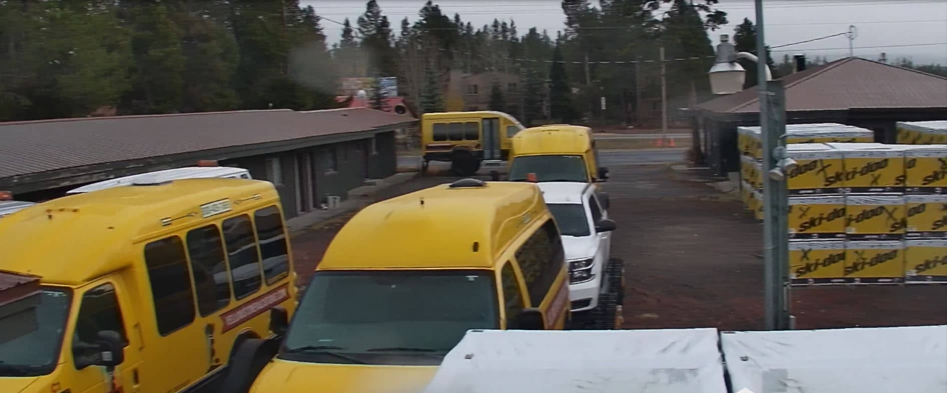
Montana, United States — 39 km
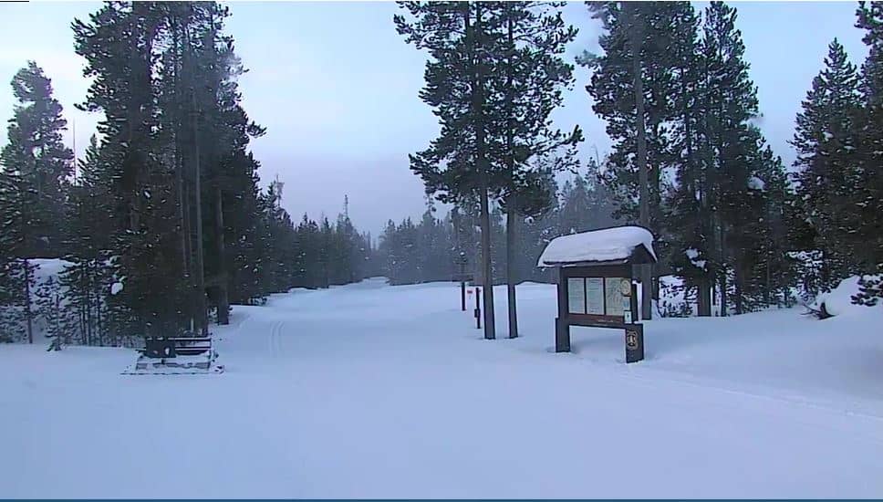
Montana, United States — 40 km

Montana, United States — 40 km
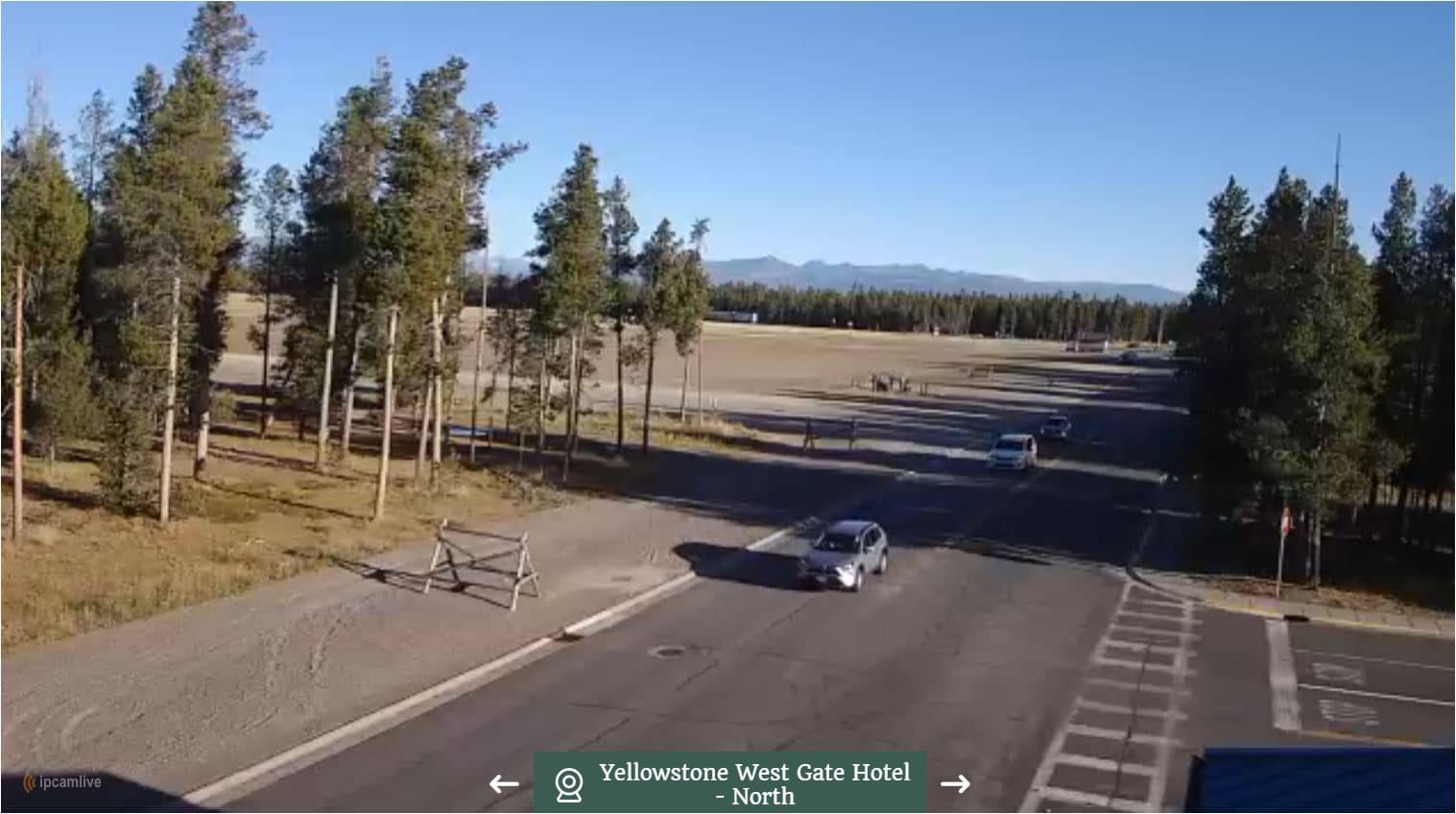
Montana, United States — 40 km
Montana, United States — 41 km
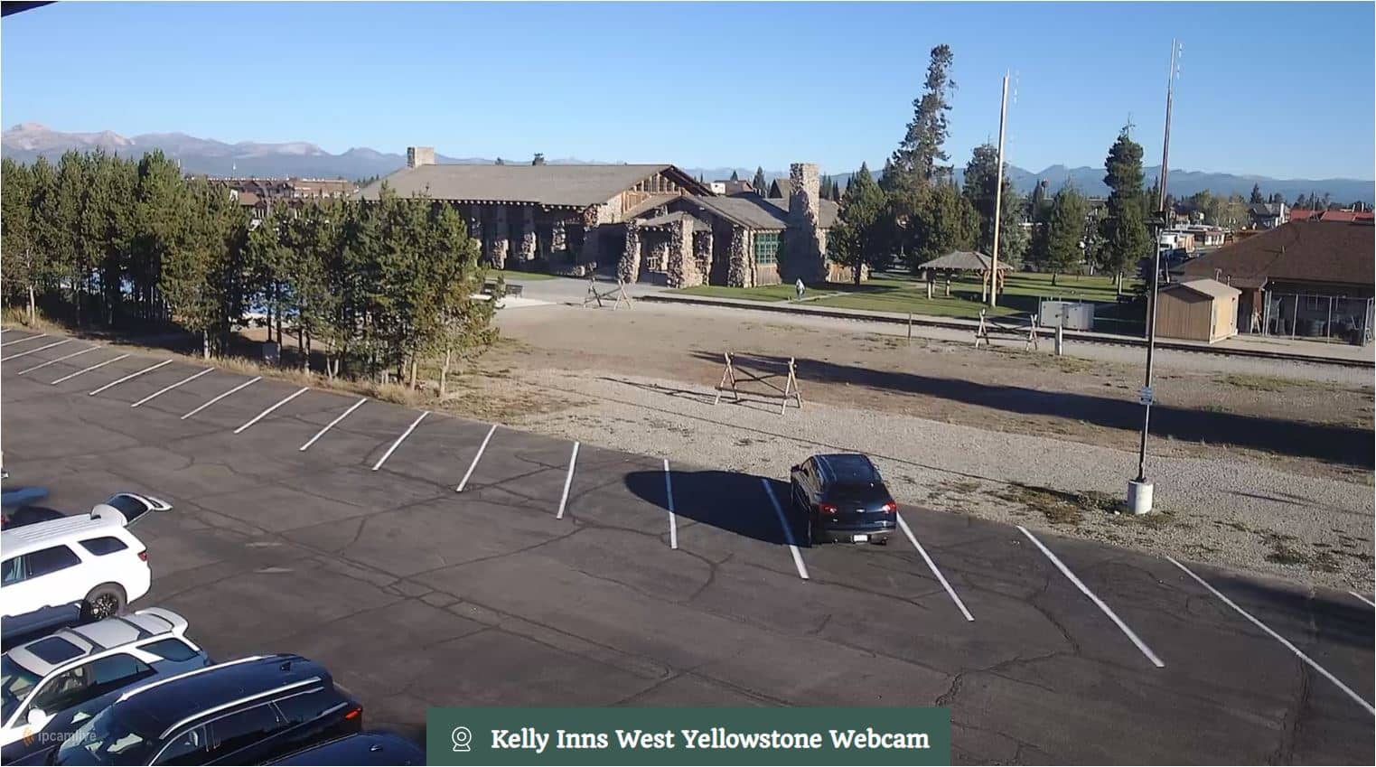
Montana, United States — 41 km

Montana, United States — 41 km
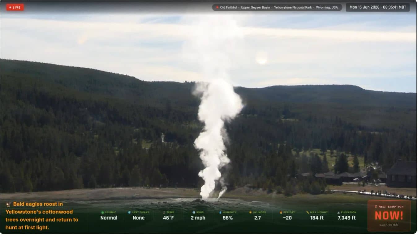
Wyoming, United States — 47 km
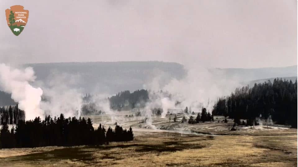
Montana, United States — 47 km
The current conditions and a 3-day forecast are shown in the live weather block on this page. Because Ashton sits at high elevation, temperatures can change quickly, so check the forecast before planning time outdoors.
The local time is displayed on this page and updates automatically. Ashton follows Mountain Time, so it is one hour behind US Central and two hours behind US Eastern time.
The camera is in the town of Ashton in Fremont County, eastern Idaho, at about 44.36 degrees north and 111.40 degrees west. The map on this page marks its position in the Upper Snake River area.
Early morning and evening are often the most rewarding, when low light brings out detail on the river and surrounding ridges. Seasonal changes are also clear, from snow in winter to green meadows in summer.
Partner links: we may earn a commission at no extra cost to you.