Jacksonville - (JAX) Skyline Page
Florida, United States — 0 km
Jacksonville - jcksnvllxr80 Page
🇺🇸 Florida · United States — Altitude 4 m
This live camera looks out over Jacksonville, the largest city by area in the contiguous United States, on Florida's northeast coast. The title gives no more detail than the city, so the stream is best treated as a general window on the city and its river setting. Use it to check conditions before heading out or to see how the weather is moving in from the Atlantic.
Jacksonville sits near the mouth of the St. Johns River, the longest river in Florida, and its low, flat terrain is shaped by tidal waterways, marshes and wide sandy shores. The city is known for its large port, its naval presence and its long beaches to the east, which are a short drive from downtown. Its relaxed mix of river life, sports and local food gives it a character quite different from Florida's resort towns farther south.
Depending on the view, you may see river traffic, bridges, rooftops and the changing sky over the coast. Late afternoon tends to be the most rewarding time, when light falls across the water and summer storms often build inland before rolling toward the city. Early mornings can show low fog or haze rising from the river, especially in cooler months.
Jacksonville has a humid subtropical climate, with hot, wet summers and mild, dry winters, and the best time to visit is generally from March to May or October to November. Hurricane season runs from June to November, so it is worth checking forecasts in late summer. Nearby cameras cover Ponte Vedra Beach and Fernandina Beach, which are useful for comparing conditions along the coast.
Source: myearthcam.com
Florida, United States — 0 km
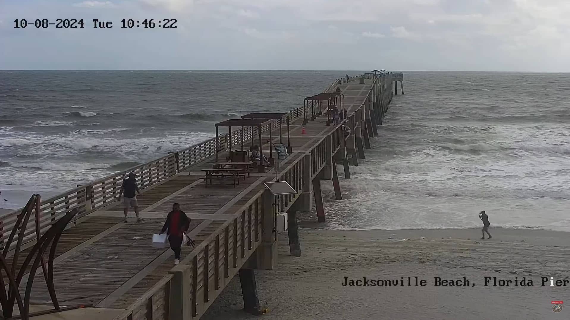
Florida, United States — 26 km
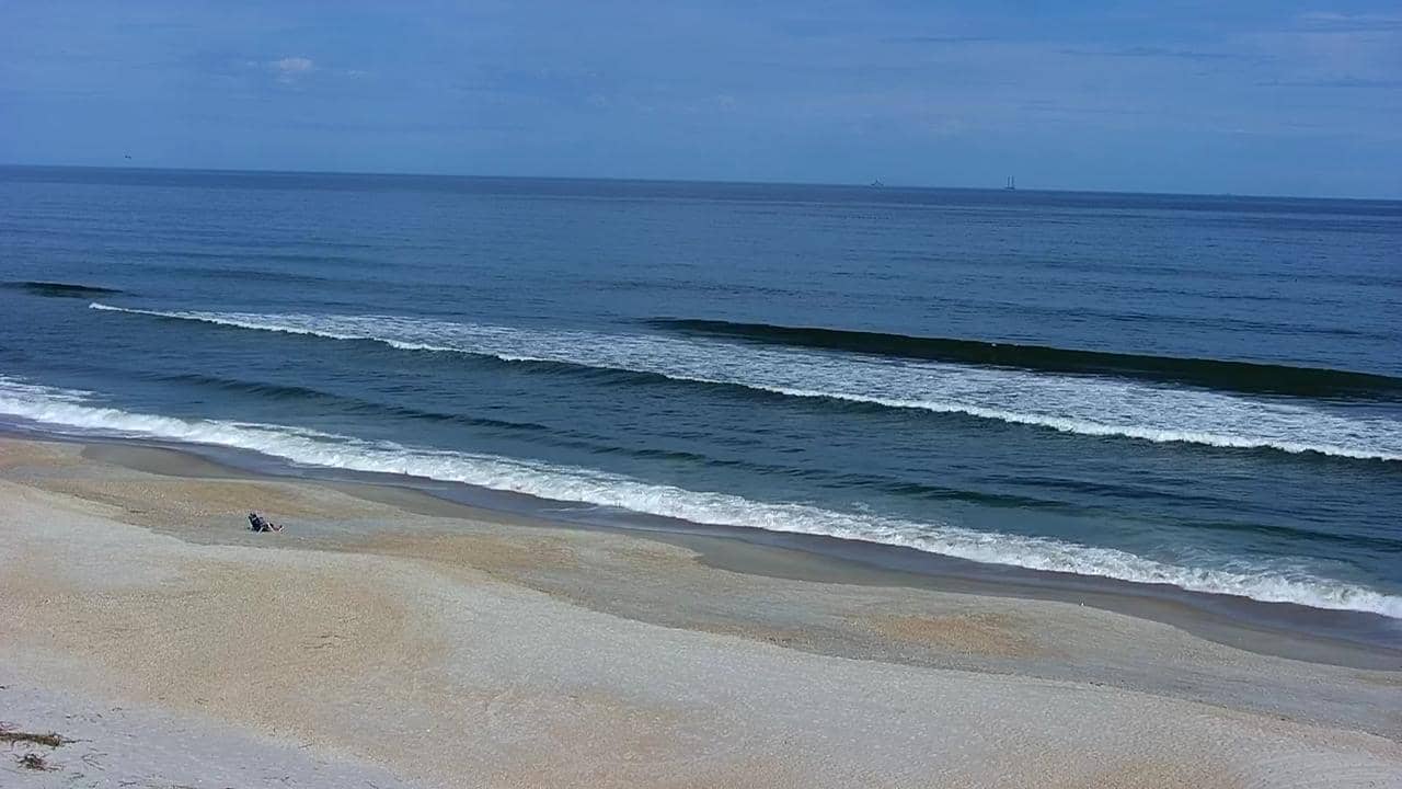
Florida, United States — 31 km
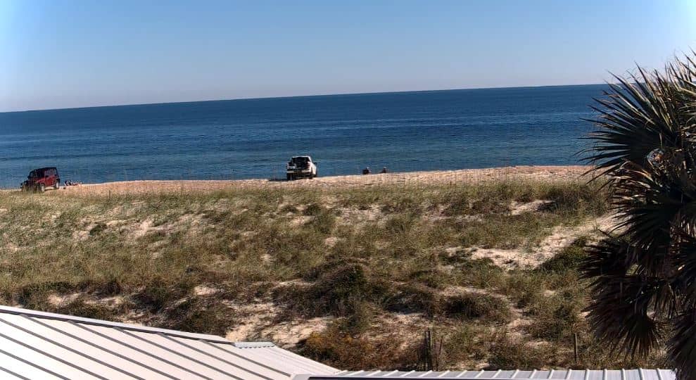
Florida, United States — 44 km
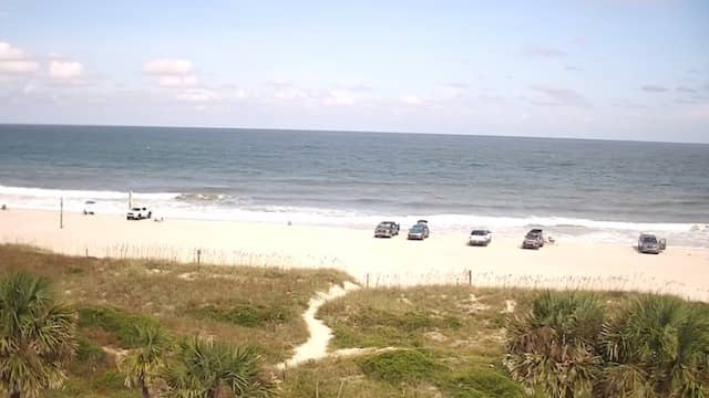
Florida, United States — 44 km
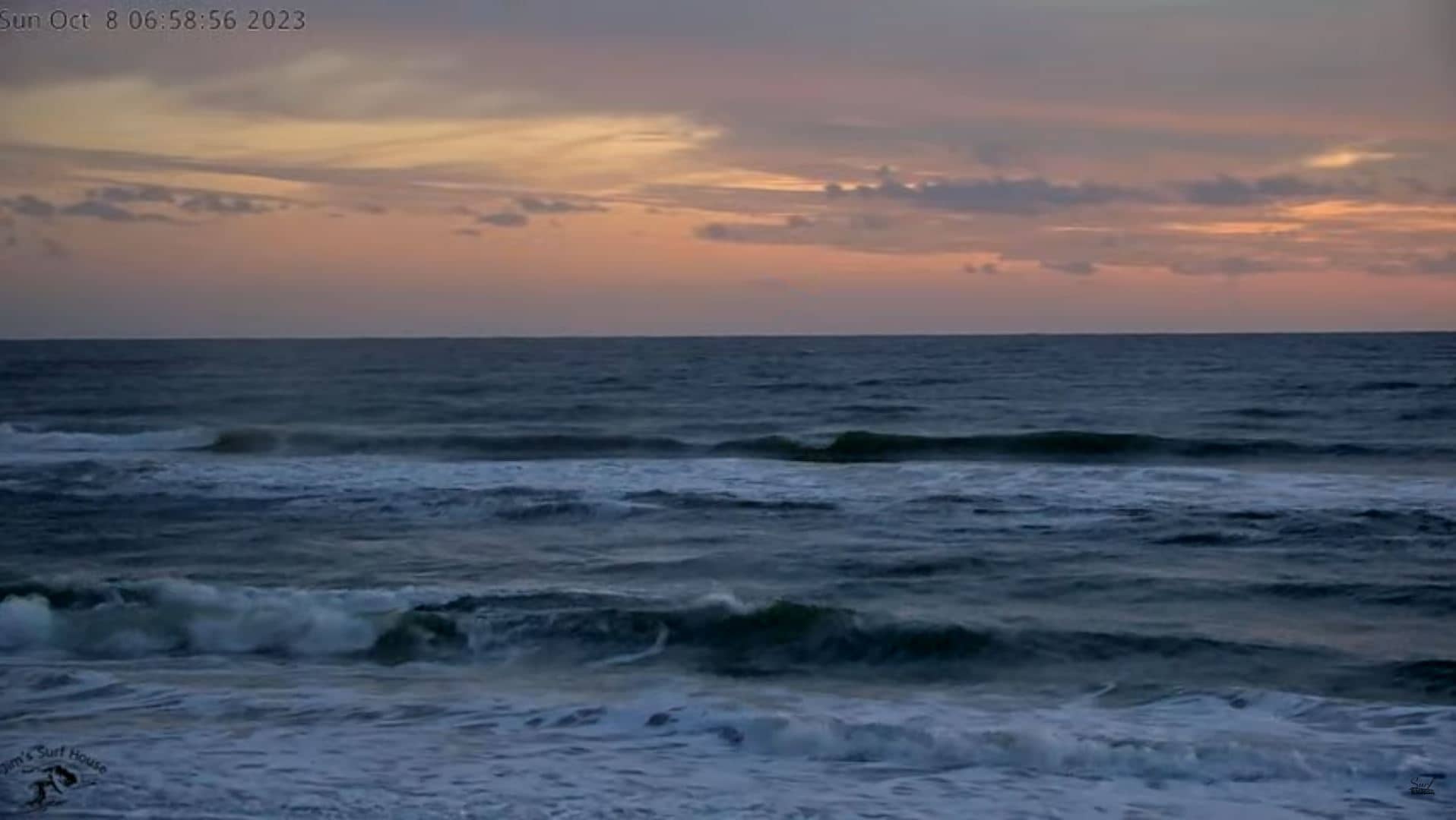
Florida, United States — 55 km
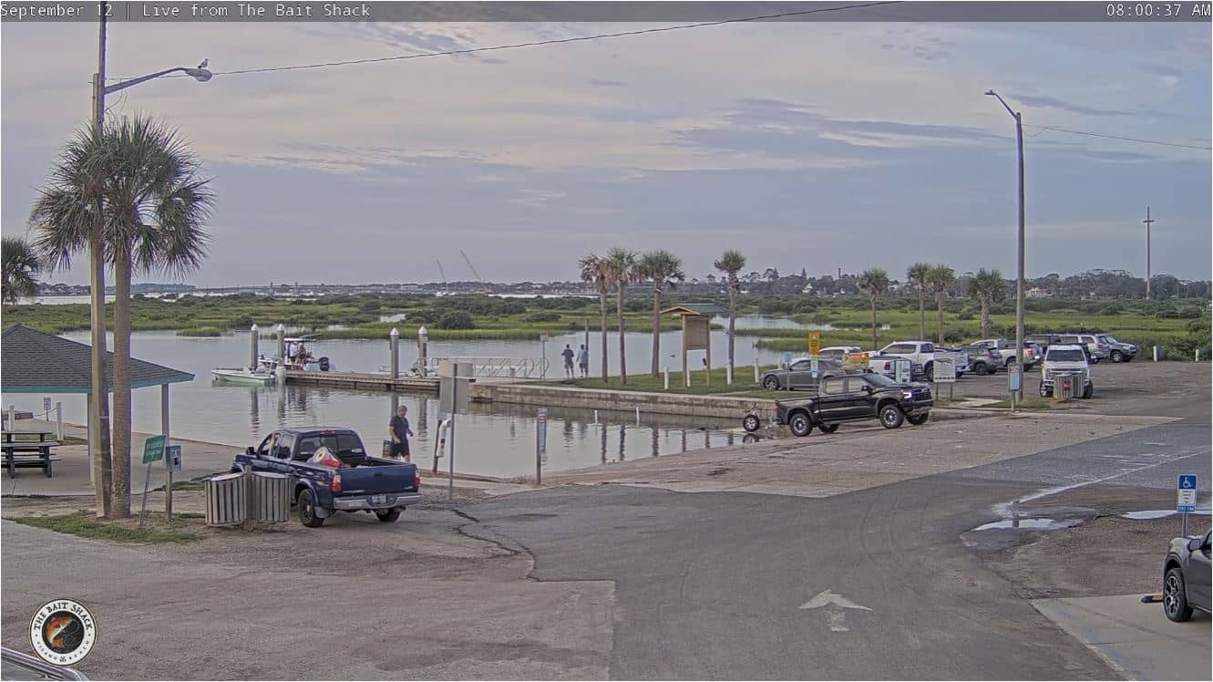
Florida, United States — 57 km
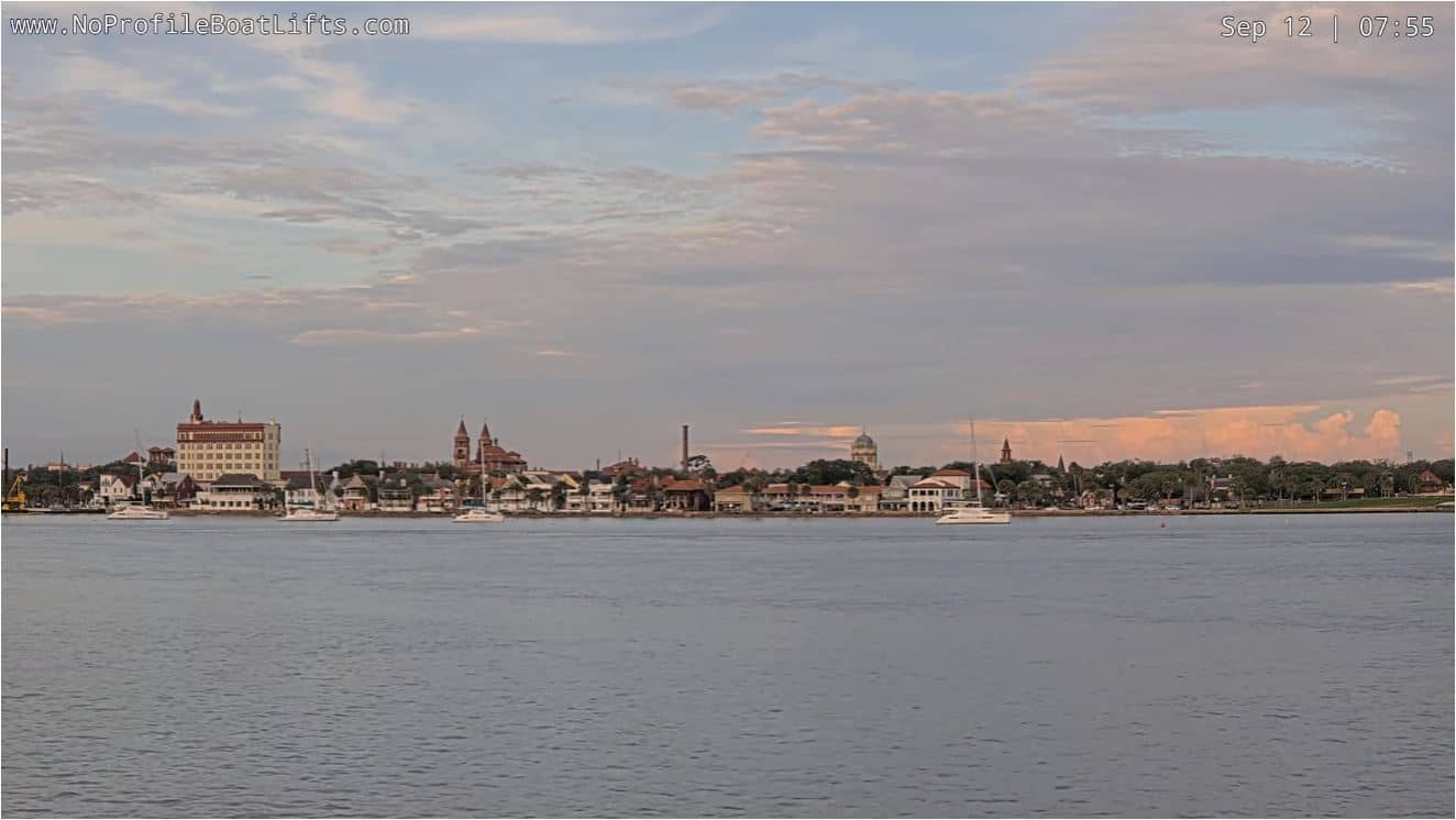
Florida, United States — 58 km
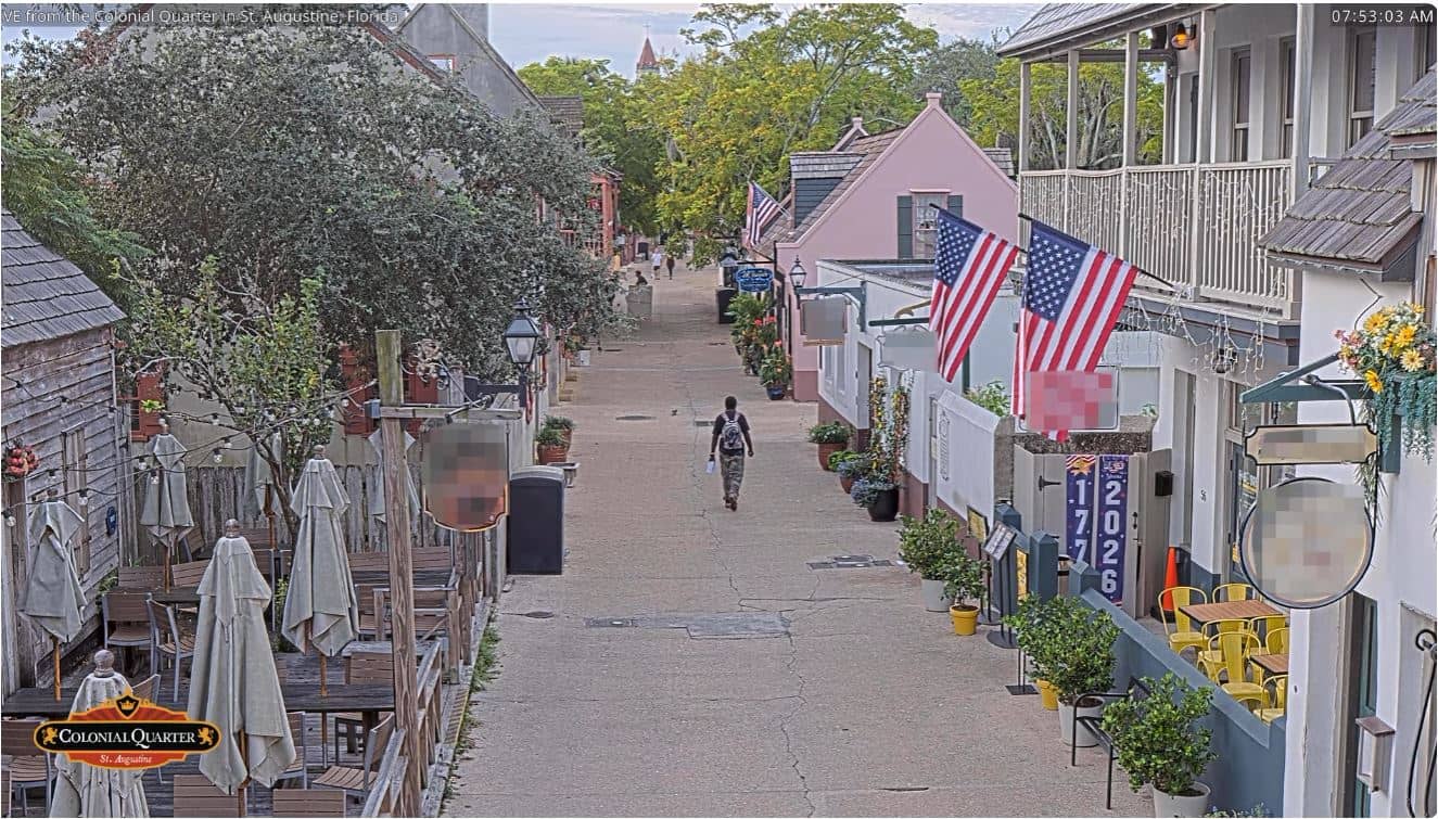
Florida, United States — 58 km

Florida, United States — 59 km
The current conditions and three-day forecast are shown in the live weather block on this page, updated alongside the camera feed.
The local time is displayed on the page and follows Eastern Time, including daylight saving changes.
The camera is in Jacksonville, Florida, near the coordinates shown on the map at the bottom of the page, close to the St. Johns River.
Late afternoon offers good light over the water, and early mornings can show fog on the river in cooler months.
Partner links: we may earn a commission at no extra cost to you.