Pueblo
Colorado, United States — 35 km
Colorado City - Abbey Road
🇺🇸 Colorado · United States — Altitude 1676 m
This live feed looks at Abbey Road in Colorado City, a small community in the Wet Mountain Valley of southern Colorado. It is useful for checking how the road is moving before you drive through or head toward the Sangre de Cristo foothills. The stream is provided by its owner, and the page adds local time and weather around it.
Colorado City sits in south-central Colorado at about 1,676 metres above sea level, on the western side of the Wet Mountain Valley. The town grew up around agriculture and ranching, with the Sangre de Cristo Mountains rising to the east and the Wet Mountains to the west. Its high-desert setting gives wide skies, sharp light and a quiet pace that differs from the larger cities of the Front Range.
Because this is a traffic camera, the view centres on the road itself, so you can judge flow, congestion and general conditions at a glance. Traffic is usually lightest in the early morning and late evening. Weather matters a great deal here: snow, wind and ice can change conditions quickly in winter, so the live view is most helpful on days when conditions are changing. Check the forecast on this page before you travel.
Spring and autumn tend to be the most comfortable seasons, with mild days and cool nights, while summer afternoons can be warm and winters are cold and windy. Pueblo, about 35 km away, is the nearest larger city and a convenient base for the area. Farisita, Canon City and Cripple Creek are also covered by cameras on VizCams and can help you plan a wider route through the region.
Source: viaero.com
Colorado, United States — 35 km
Colorado, United States — 37 km
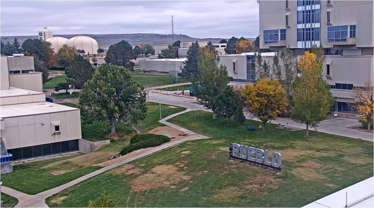
Colorado, United States — 41 km
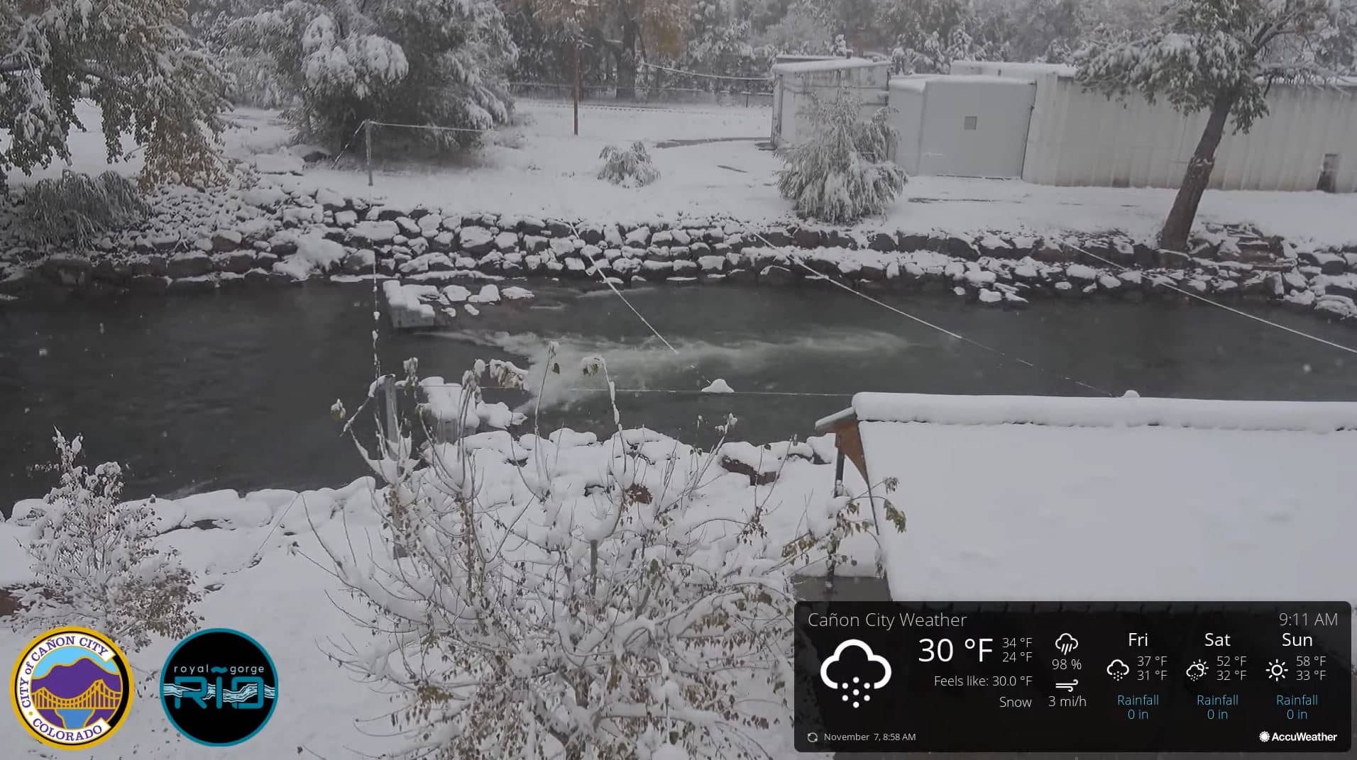
Colorado, United States — 67 km
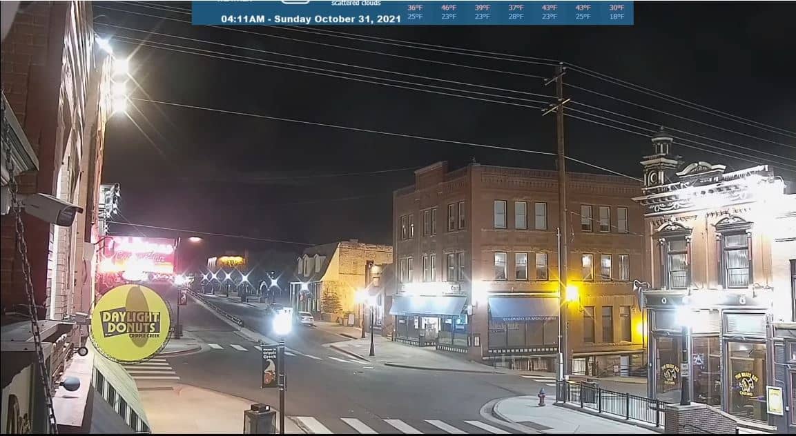
Colorado, United States — 94 km

Colorado, United States — 96 km

Colorado, United States — 96 km
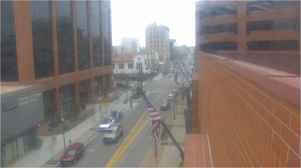
Colorado, United States — 97 km
Colorado, United States — 97 km

Colorado, United States — 100 km
The current conditions and a three-day forecast for Colorado City are shown in the weather block on this page. Values update with the page, so check there before planning a trip through the valley.
The local time for Colorado City is displayed on this page and follows the town's own clock, including daylight saving changes. It is shown beside the live camera.
The camera is on Abbey Road in Colorado City, Colorado, at about 37.97 degrees north and 104.76 degrees west. A map on this page marks its position in the Wet Mountain Valley.
Watch during daylight hours to see the road clearly, and during winter or stormy weather to check conditions. Traffic is typically lightest early in the morning and in the evening.
Partner links: we may earn a commission at no extra cost to you.