Fairplay - Campground of the Rockies
Colorado, United States — 26 km
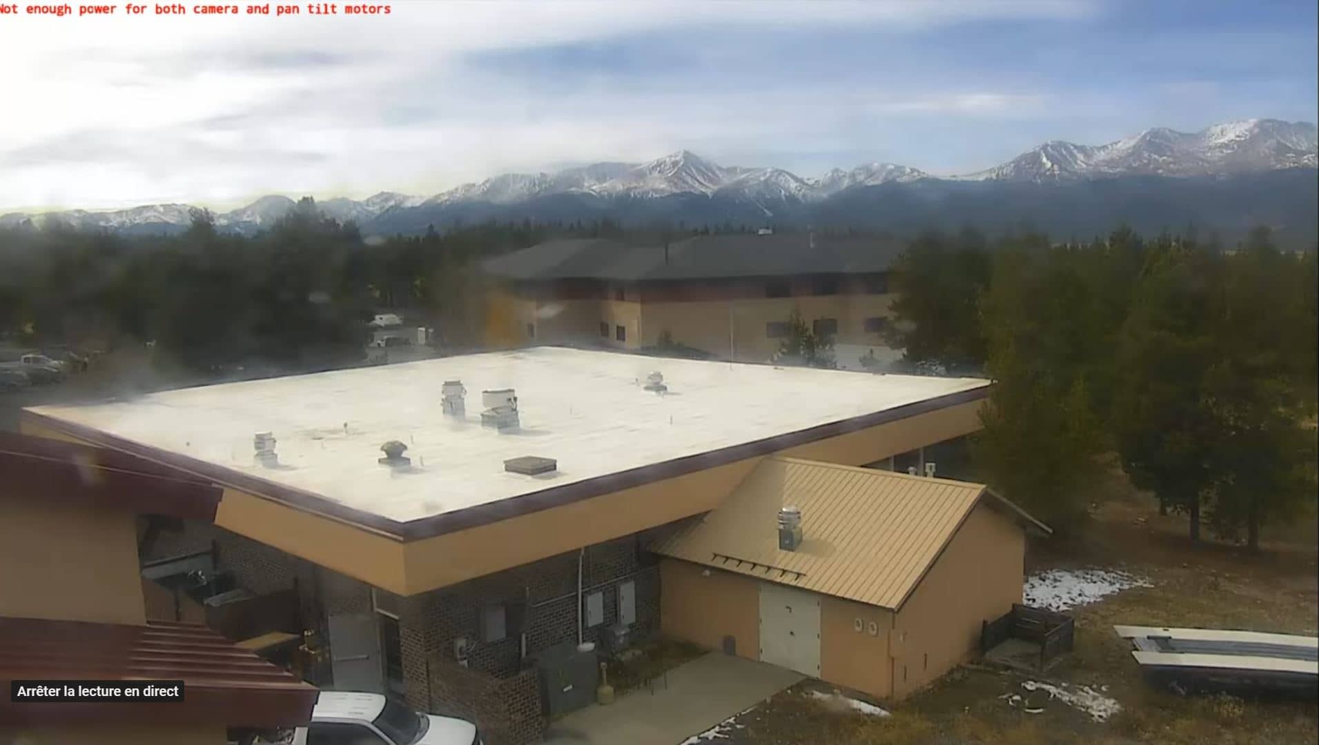
Leadville
🇺🇸 Colorado · United States — Altitude 3067 m
This live stream looks out over Leadville, one of the highest towns in the United States, set in the Rocky Mountains of central Colorado. It is useful for seeing what conditions are like at altitude before planning a drive or hike. The page also shows local time and a short weather outlook beside the video.
Leadville grew up during the silver boom of the 1870s and later became known for its mining history and its well-preserved Victorian-era buildings. Sitting at roughly 3,000 metres, it has a thin, dry mountain air and a landscape of high valleys ringed by peaks. The town is a common base for travellers heading into the surrounding wilderness and the Sawatch Range. Its character is shaped as much by altitude and open space as by the old mining streets.
The view is most rewarding in clear morning light, when the surrounding slopes are sharp and the sky is deep blue. Afternoon storms often build over the high country in summer, so cloud movement and changing light can be watched as the day goes on. In autumn the aspen stands on the hillsides can turn gold, depending on the view. Winter brings snow and shorter days, and the stream is useful for judging how much snow has settled in town.
Summer, from late June to early September, is the most popular season, with mild days and cool nights, though the air is thin and sun exposure is strong. Expect sudden weather changes in the mountains, and allow time to acclimatise if you are arriving from much lower elevations. Nearby cameras at Fairplay, Breckenridge and Frisco show other points along the same mountain corridor and can help you compare conditions.
Source: Leadville Colorado webcam
Colorado, United States — 26 km
Colorado, United States — 32 km
Colorado, United States — 35 km
Colorado, United States — 35 km

Colorado, United States — 35 km
Colorado, United States — 42 km

Colorado, United States — 43 km
Colorado, United States — 44 km
Colorado, United States — 45 km
Colorado, United States — 45 km
The current conditions and a 3-day forecast are shown in the weather block on this page. Mountain weather can change quickly, so check it again before any hike or drive.
The local time for Leadville, Colorado, is shown on this page and updates automatically. The town uses Mountain Time.
The camera is in Leadville, Colorado, at about 3,067 metres above sea level in the Rocky Mountains. The map on the page marks its location.
Clear mornings are often the sharpest for viewing, while summer afternoons can bring storm clouds. Autumn and winter show seasonal changes in the surrounding slopes and snow cover.
Partner links: we may earn a commission at no extra cost to you.