
Dana Point - Salt Creek Beach
California, United States — 2.2 km

The camera is temporarily offline
The owner's stream is not available right now. Try again later or watch a camera nearby.
Dana Point - Harbor
🇺🇸 California · United States — Altitude 3 m
This live camera looks out over Dana Point Harbor on the Orange County coast of Southern California. It is a useful way to see whether boats are moving, how the water looks and what the sky is doing before you head to the coast. The page also shows the local time and the current weather for the town.
Dana Point is a coastal town in southern Orange County, set on bluffs above the Pacific Ocean. Its harbor is one of the few small-craft harbors in the area built for recreational boating, with marinas, sailing and a fishing fleet. The town takes its name from Richard Henry Dana Jr., author of Two Years Before the Mast, and the surrounding coastline is known for its cliffs, beaches and sunsets over the water.
As a harbor view, the camera is most likely to show moored boats, vessels entering or leaving the basin and the water surface at the harbor entrance. Activity tends to be busiest on sunny weekend mornings, while late afternoon often brings softer light and warmer colours. Fog or marine layer can cover the coast in early morning, especially in late spring and early summer, so the view may look grey at those times.
Dana Point has a Mediterranean-style climate with mild, mostly dry summers and cool, wetter winters. Spring and autumn are often the most comfortable seasons for walking the harbor. Nearby cameras on this site cover Salt Creek Beach, Monarch Beach and Monarch Bay, so you can compare conditions along the coast from one place before you travel.
Source: hdontap.com
California, United States — 2.2 km

California, United States — 2.5 km

California, United States — 3 km
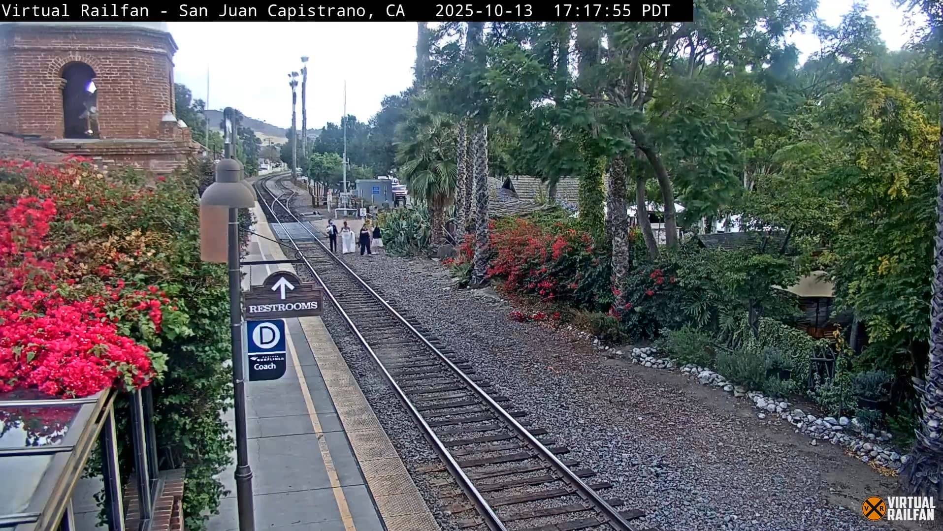
California, United States — 6 km
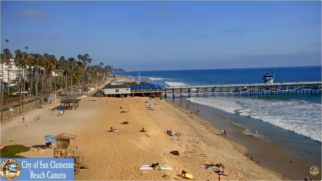
California, United States — 8.2 km
California, United States — 19 km
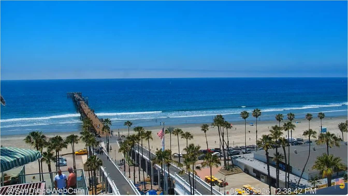
California, United States — 42 km

California, United States — 42 km
California, United States — 44 km
California, United States — 56 km
The current conditions and a 3-day forecast for Dana Point are shown in the live weather block on this page, updated automatically.
The local time for Dana Point, California is displayed on this page and follows the Pacific time zone, including daylight saving changes.
The camera is in Dana Point on the Orange County coast of California. The map on this page marks its location, and the nearby camera list helps you find other views along the shore.
Sunny mornings are usually busiest for boats, while late afternoon offers good light. Early mornings in late spring and early summer may be hazy because of marine layer fog.
Partner links: we may earn a commission at no extra cost to you.