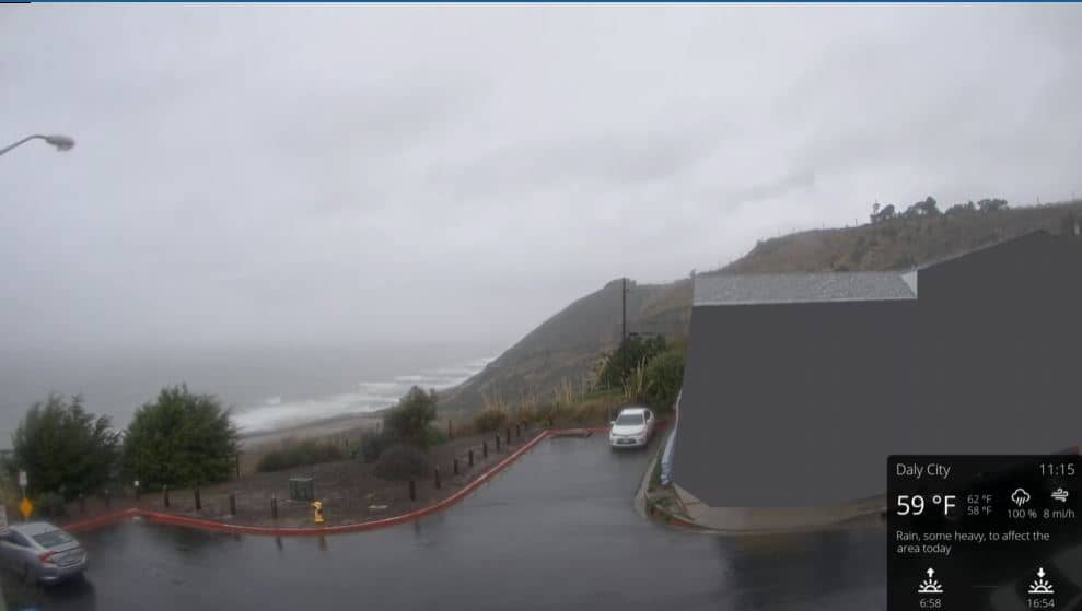
San Francisco
California, United States — 23 km
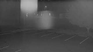
Menlo Park - Sand Hill - Road Conditions
🇺🇸 California · United States — Altitude 41 m
This camera watches Sand Hill Road in Menlo Park, a busy suburban route on the San Francisco Peninsula. It is useful for a quick check of traffic flow before heading out, whether you are commuting or planning a trip through the area.
Menlo Park is a city in San Mateo County, on the Peninsula south of San Francisco and close to the San Francisco Bay shoreline. It is home to a mix of offices, research campuses and residential neighborhoods, and it sits near Stanford University in Palo Alto. The flat terrain and mild Mediterranean-type climate make it a common route for daily travel across the region.
As a traffic camera, this view is mainly about road conditions: vehicle flow, congestion and the general state of the road. Traffic is typically heaviest during weekday morning and evening commute hours, while weekends and late evenings are usually calmer. Fog from the bay can sometimes reduce visibility in the mornings, so it is worth watching during cooler months.
The Peninsula has a mild climate with dry summers and wetter winters, so conditions on the road are generally good year round. Sand Hill Road is known for its venture capital offices and is a short drive from Stanford, Palo Alto and the Bay Area's main highways. Other cameras in the region, including San Francisco, Pacifica and Año Nuevo Island, are available for comparison on VizCams.
Source: CamStreamer
California, United States — 23 km
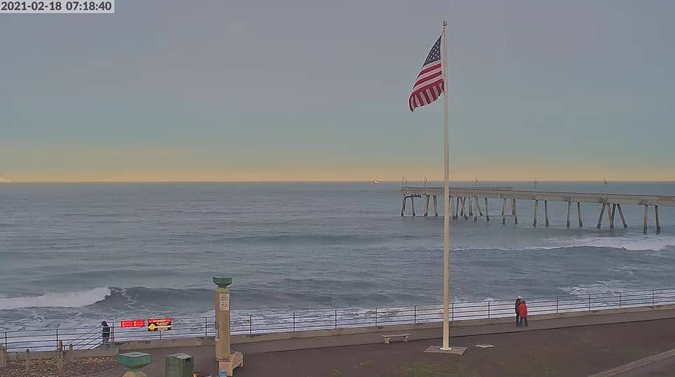
California, United States — 34 km

California, United States — 36 km
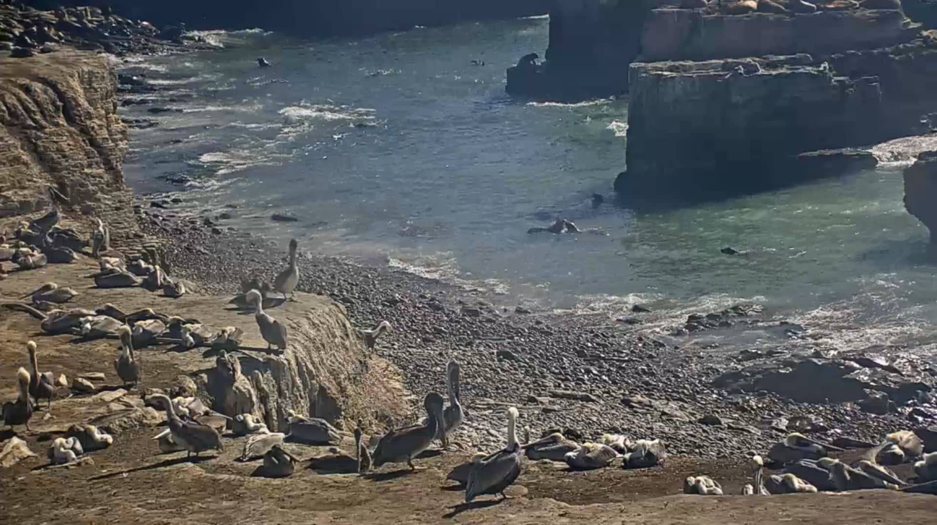
California, United States — 38 km
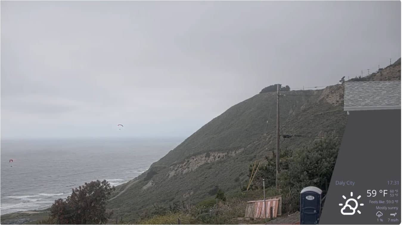
California, United States — 38 km
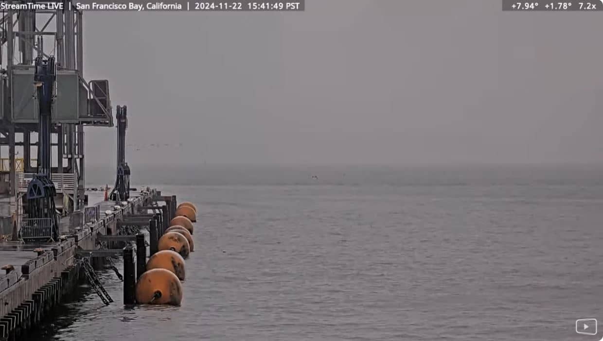
California, United States — 46 km

California, United States — 54 km
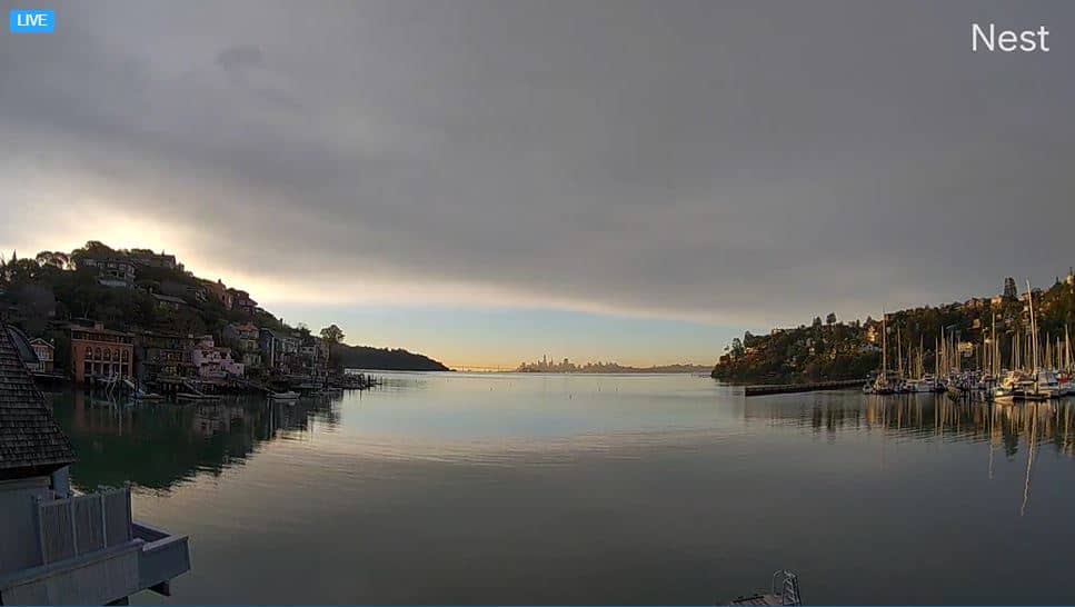
California, United States — 55 km

California, United States — 55 km
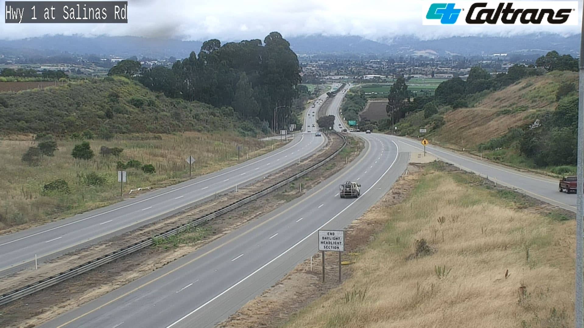
California, United States — 65 km
The current conditions and a three-day forecast for Menlo Park appear in the live weather block on this page, updated automatically.
The local time for Menlo Park, California, is shown on this page and follows the Pacific time zone with daylight saving adjustments.
The camera is on Sand Hill Road in Menlo Park, California, and the map on this page shows its location on the Peninsula south of San Francisco.
Weekday mornings and late afternoons usually show the heaviest traffic, so those are the most informative times to watch the live view.
Partner links: we may earn a commission at no extra cost to you.