
Santa Cruz Island - Fraser Point Bald Eagle Nest 2
California, United States — 2.3 km
🇺🇸 California · United States — Altitude 744 m
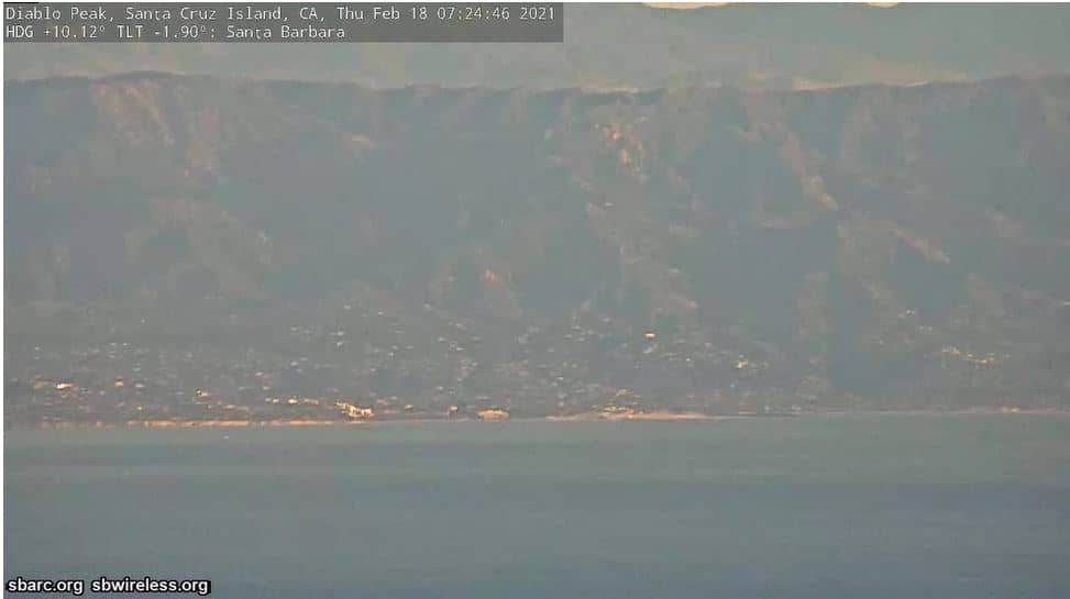
This live stream looks out from Diablo Peak, a mountain in Santa Barbara County on the California coast. It is a useful way to check how the sky and visibility look above the Santa Barbara area before you plan a hike, a drive or a day on the coast.
Diablo Peak rises in the Santa Ynez range of the Transverse Ranges, where the mountains run east to west, unlike most of California's ranges. Its elevation of about 744 metres gives it open views over the Pacific coast and the valleys inland. The area is dry chaparral and oak woodland, typical of the region, and it is known to local radio operators and hikers for its clear vantage point over the coastline.
The camera is a mountain-top view, so the most interesting moments tend to be early morning, when marine layer fog may sit over the coast, and late afternoon, when the light softens over the hills. Clouds and haze change quickly here, and the picture can show whether the coast is clear or fogged in. Exact views depend on the direction the camera is pointed, so check the live picture for current conditions.
The region has mild, dry summers and wet winters, and autumn and spring are often the most comfortable seasons for outdoor visits. Nearby coastal cameras at Goleta, Oxnard, Malibu and Santa Monica show conditions at sea level, which helps you compare the mountain view with the beaches below. Access to the peak itself is limited and depends on local rules, so check before you go.
Source: Santa Barbara Amateur Radio Club
California, United States — 2.3 km
California, United States — 42 km

California, United States — 45 km

California, United States — 57 km
California, United States — 105 km
California, United States — 118 km
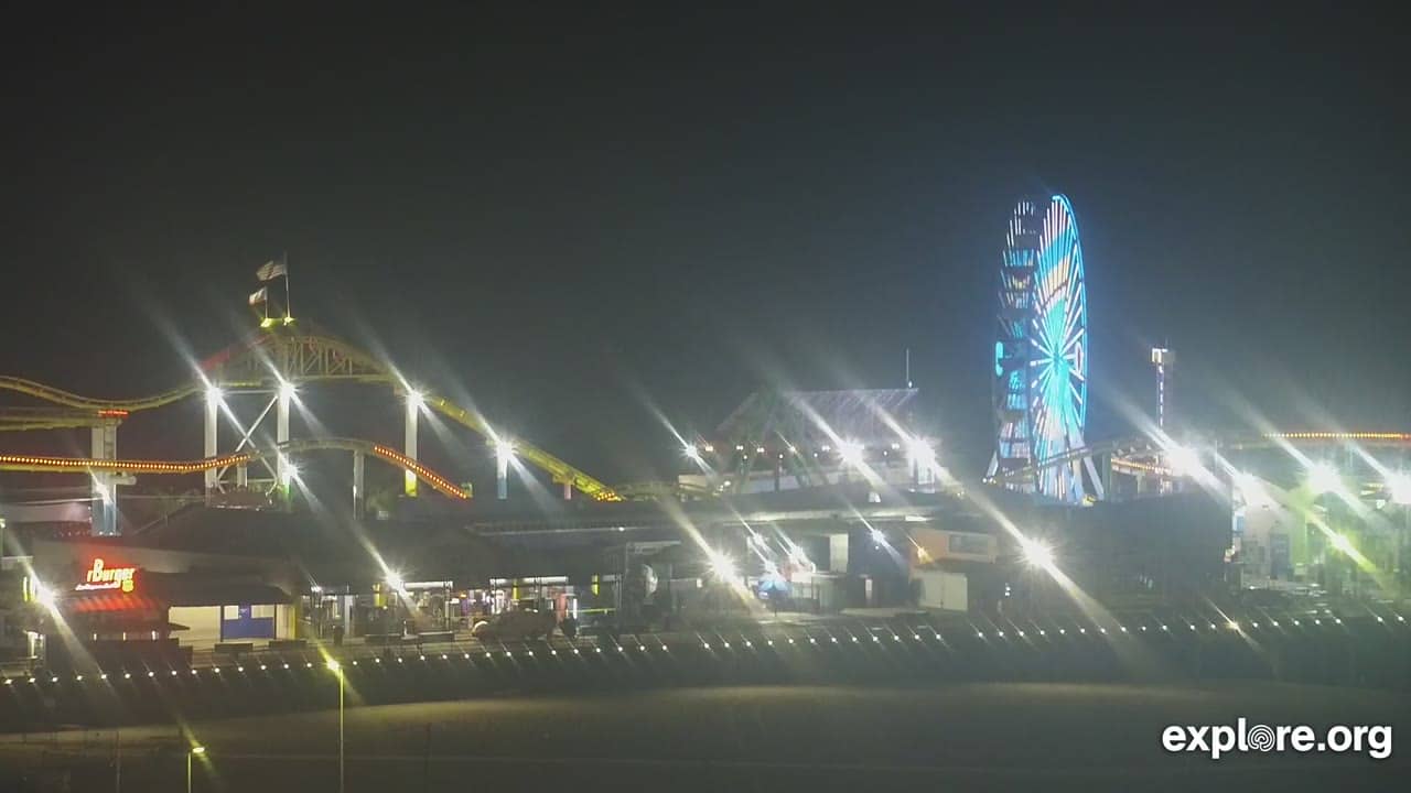
California, United States — 120 km
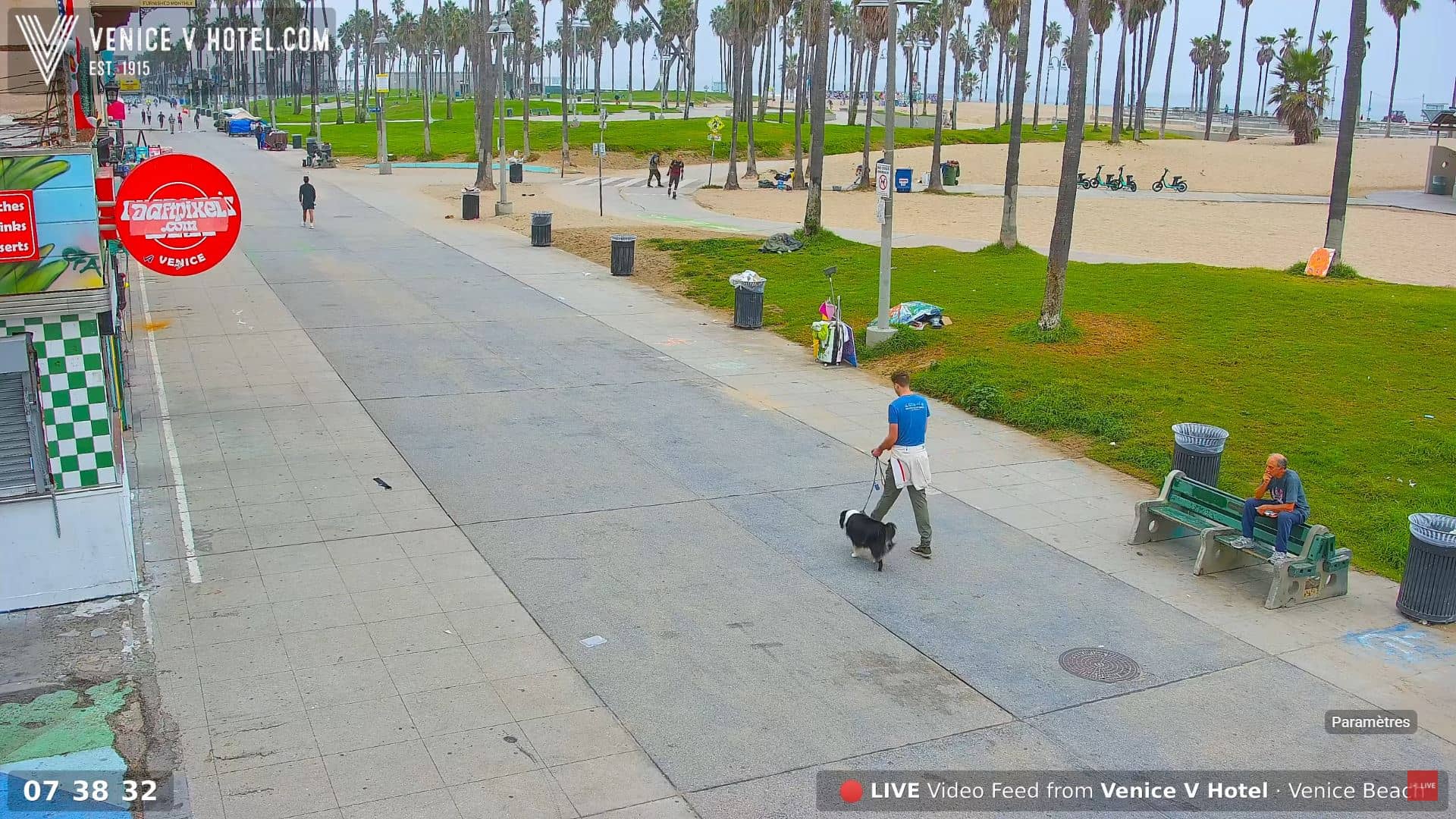
California, United States — 122 km

California, United States — 122 km
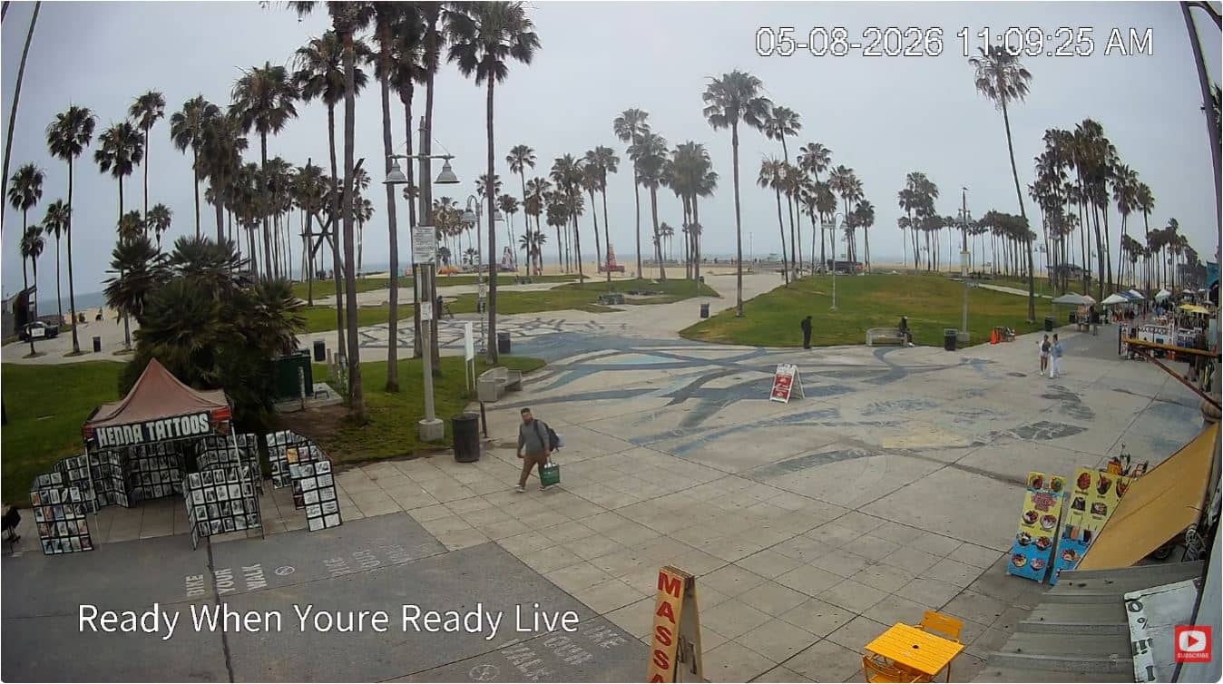
California, United States — 122 km
The live weather block on this page shows current conditions and a three-day forecast for the location. Mountain weather can differ from the coast, so the figures here are the best guide to what is happening at the camera.
The local time block shows the current time in the Pacific time zone used by this camera, updated live on the page.
The camera sits on Diablo Peak in Santa Barbara County, California, at roughly 744 metres above sea level. The map on the page marks its position.
Early mornings and late afternoons are often the most interesting, when fog, clouds and light change across the coast and hills. Check the live picture and the weather block together for the clearest view.
Partner links: we may earn a commission at no extra cost to you.