
Manhattan Beach - El Porto Overlook Surf Cam
California, United States — 5 km
🇺🇸 California · United States — Altitude 50 m
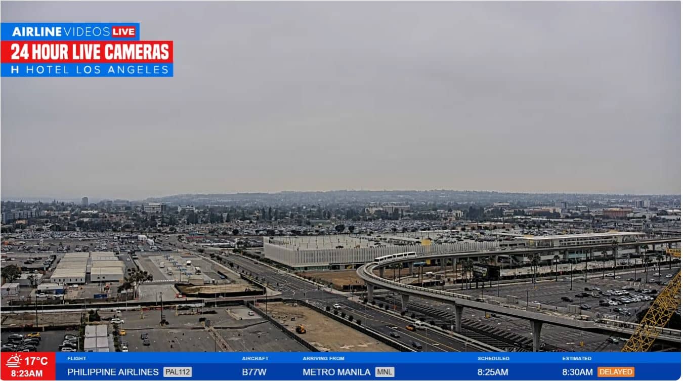
This live stream looks out over Los Angeles International Airport, one of the busiest air hubs in the United States. It is a practical window for anyone checking on flights, aircraft movements or simply how a major West Coast airport looks right now.
LAX sits on the Pacific coast in the southwest of Los Angeles, a few kilometres inland from the shoreline. It serves millions of passengers each year and handles flights to destinations across North America, Asia, Europe and beyond. The surrounding area is flat and densely built, and the coastal breeze keeps the air fresher than in many inland parts of the city.
The camera follows the airfield activity, so you may see aircraft taxiing, taking off or landing, depending on the view at the time. Activity is usually steadiest during the daytime and in the late afternoon, when departure waves are common. Clear mornings often give the best visibility toward the ocean, while summer haze can soften the distant skyline.
Los Angeles has a Mediterranean climate, with dry, sunny summers and mild, occasionally damp winters. Spring and autumn are generally the most comfortable for spending time near the coast. The airport is served by shuttles, rideshare and public transit lines. Nearby cameras include El Porto in Manhattan Beach and Venice Beach, which offer a different view of the shoreline.
Source: AirlineVideosLivePlus
California, United States — 5 km
California, United States — 5 km
California, United States — 5.1 km

California, United States — 5.3 km

California, United States — 5.3 km

California, United States — 7.3 km

California, United States — 7.6 km
California, United States — 7.6 km
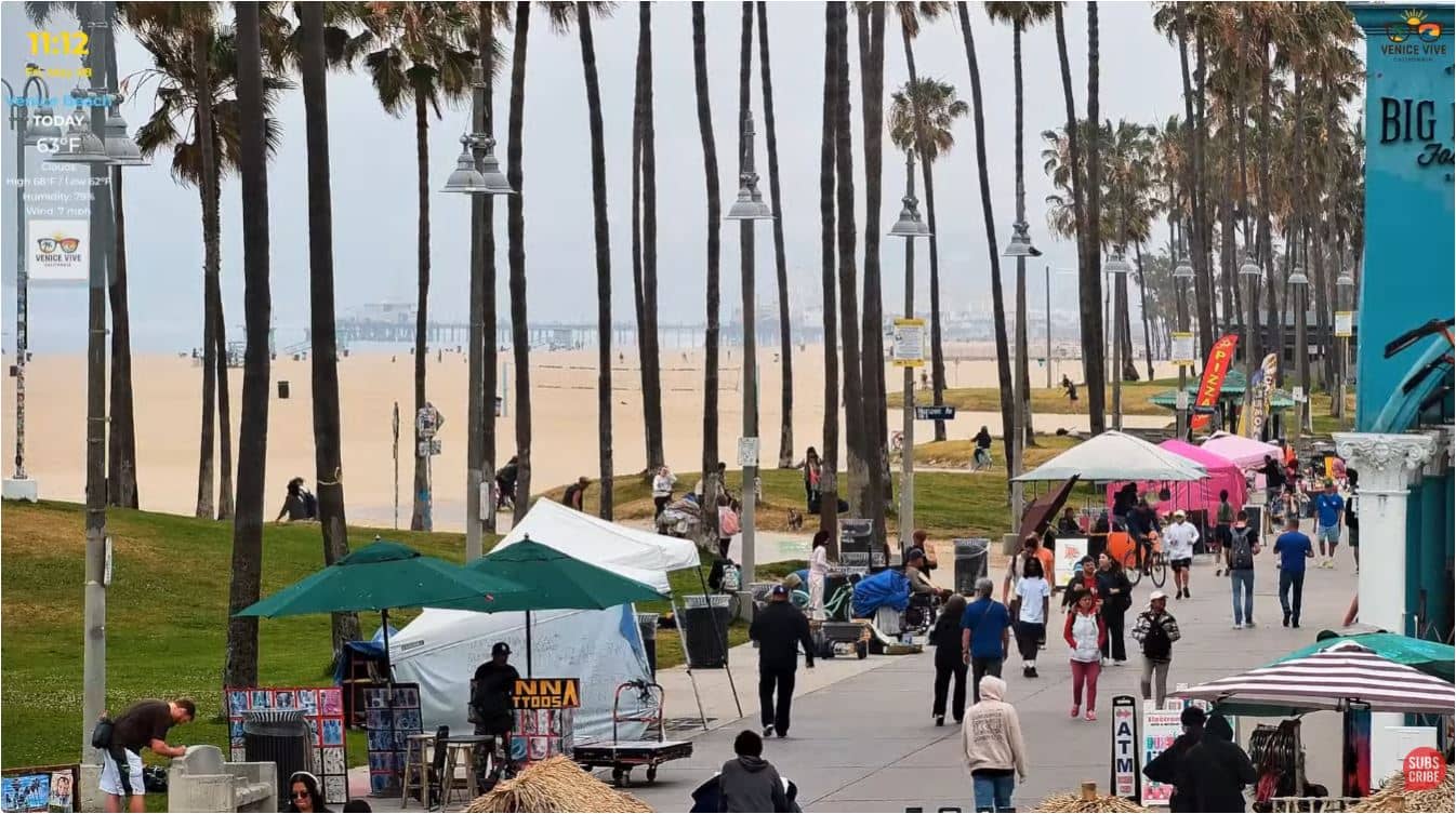
California, United States — 7.6 km
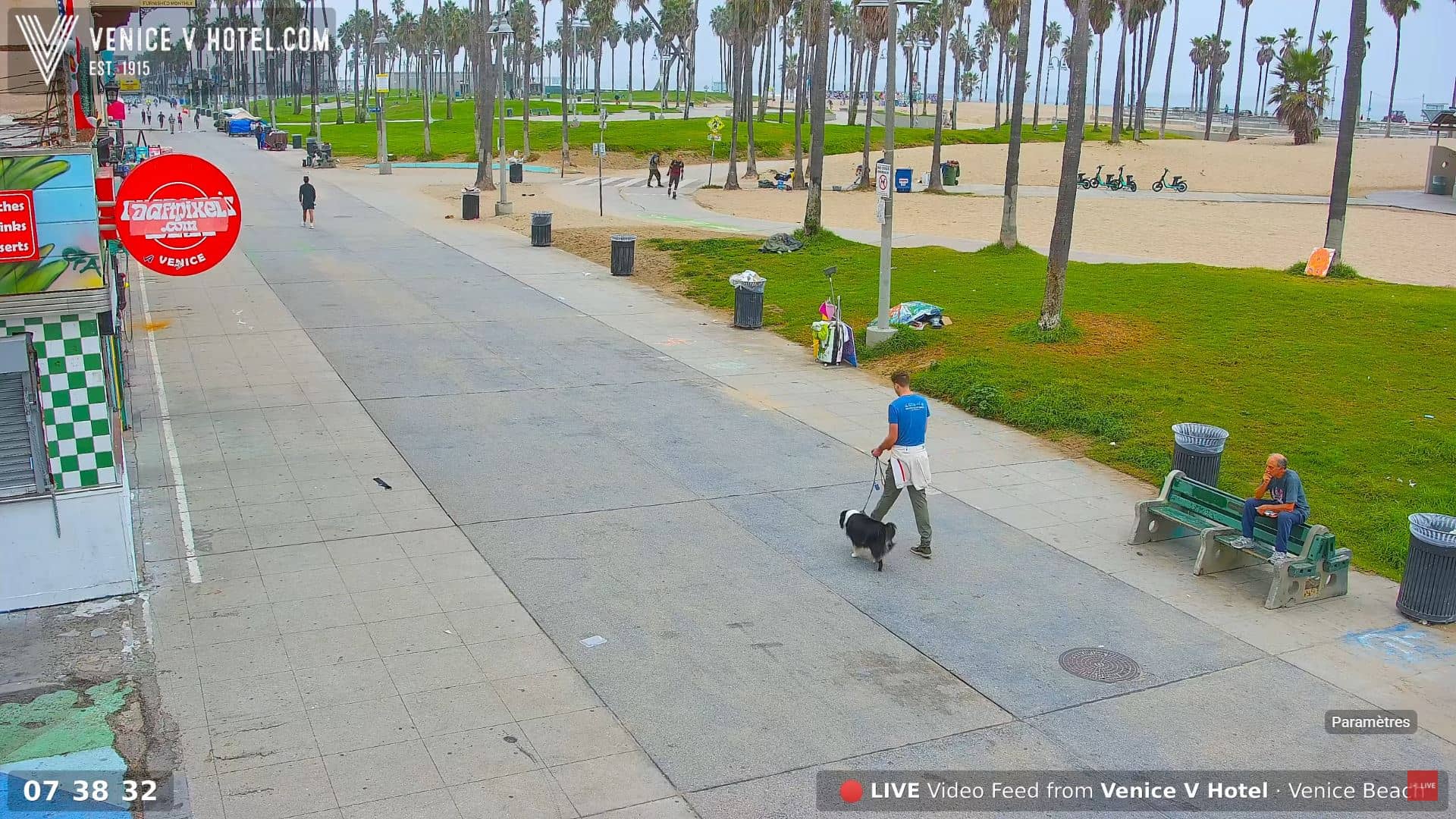
California, United States — 7.8 km
Current conditions and a three-day forecast for the airport area are shown in the live weather block on this page, updated automatically.
The local time for the airport is displayed on the page. It follows the Pacific time zone used across California.
The camera is positioned at Los Angeles International Airport, and the map on this page shows its precise location in relation to the city and the coastline.
Daytime and late afternoon usually bring the most movement on the airfield, while early mornings can offer clearer views toward the ocean.
Partner links: we may earn a commission at no extra cost to you.