Anchorage - Lake Hood - base d'hydravions, vue vers le nord
Alaska, United States — 0.1 km
Anchorage - Lake Hood - base d'hydravions, vue vers l'est
🇺🇸 Alaska · United States — Altitude 40 m
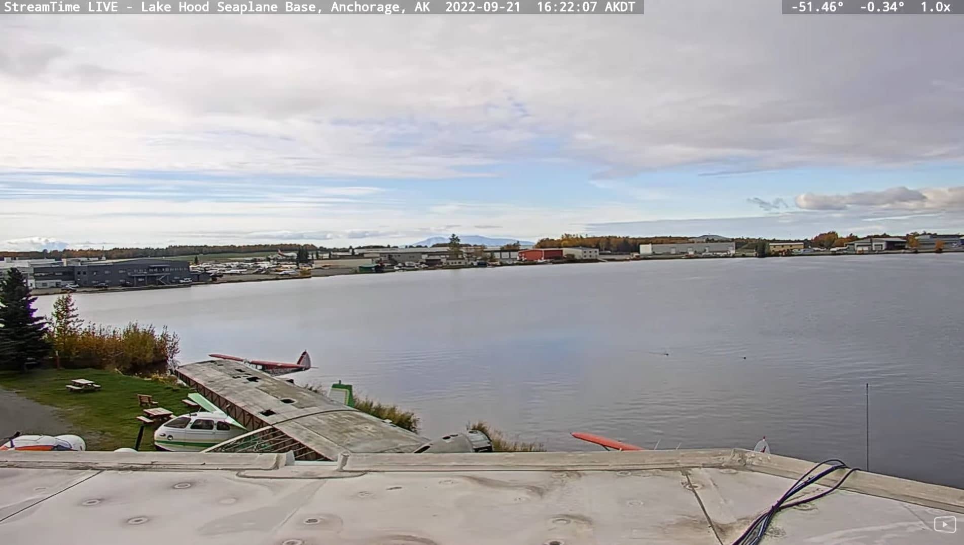
This camera looks east over Lake Hood, the seaplane base beside Anchorage, Alaska. It is a useful window onto one of the busiest float-plane hubs in the state. The page also shows local time and current conditions so you can judge whether flying is likely.
Lake Hood sits next to Ted Stevens Anchorage International Airport and is widely described as one of the busiest seaplane harbours in the world. Anchorage, the largest city in Alaska, lies on the Cook Inlet with mountains rising behind it. Its position makes it the main gateway for air travel to remote communities across the state, where roads are few and aircraft often serve as the only link.
This is a nature-category view, so the scene is typically dominated by open water, the shoreline and sky. Depending on the view, you may see floatplanes taxiing, taking off or moored along the docks. Activity is usually greatest in the warmer months from late spring to early autumn. In winter the lake can freeze, and the view then changes to snow and ice, which is a very different picture of the same place.
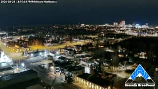
Anchorage has a subarctic climate with long, cold winters and short, mild summers, and summer days are very long. Conditions can change quickly because weather moves in from the coast and the mountains. For a sense of the local environment, check the weather block on this page before you plan to watch or travel. Other cameras nearby include a northward view over the same base and the Midtown towers looking toward Denali.
Source: borealisbroadband.net
Alaska, United States — 0.1 km
Alaska, United States — 0.7 km
Alaska, United States — 5.2 km
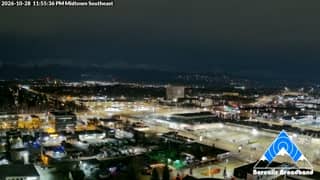
Alaska, United States — 5.2 km
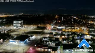
Alaska, United States — 5.3 km
Alaska, United States — 5.4 km
Alaska, United States — 5.4 km

Alaska, United States — 5.7 km
Alaska, United States — 5.8 km

Alaska, United States — 5.8 km
The current weather and a three-day forecast for Anchorage are shown in the live block on this page. Conditions change quickly in this region, so the figures there are the most reliable guide.
The local time for Anchorage is displayed on this page and updates automatically. Alaska keeps a different clock from many other US regions, so check the live time rather than assuming.
The camera overlooks Lake Hood, the seaplane base next to Ted Stevens Anchorage International Airport in Anchorage, Alaska. The map on this page marks its position.
Activity is usually highest from late spring to early autumn, when floatplanes operate most often. Weather affects flying, so clearer, calmer days tend to show the most movement.
Partner links: we may earn a commission at no extra cost to you.