Maplesville
Alabama, United States — 45 km
🇺🇸 Alabama · United States — Altitude 39 m
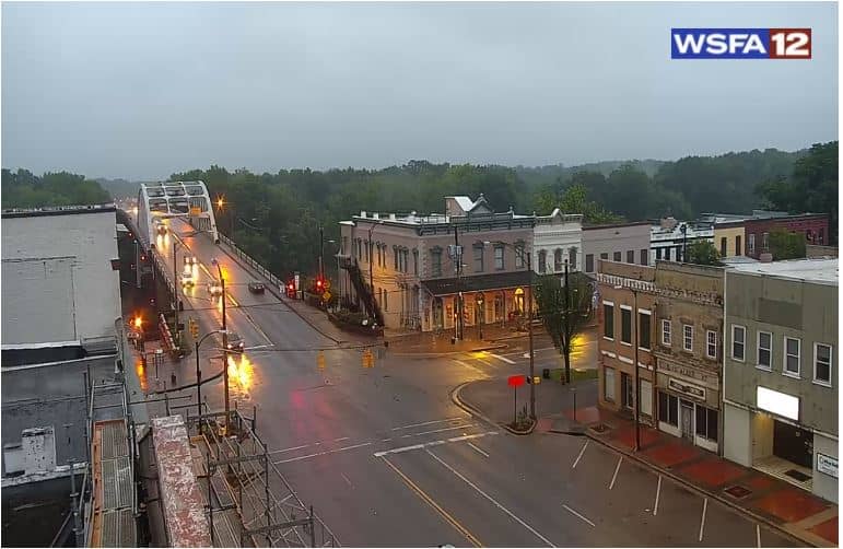
This live view shows Selma, a river city in central Alabama. Use it to see the current conditions in town before you travel or to follow the weather as it moves across the Black Belt region. The page also gives you the local time and a short forecast.
Selma sits on a bluff above the Alabama River in the Black Belt, the fertile region named for its dark soil. The city is best known for its role in the American civil rights movement, most notably the 1965 voting rights marches across the Edmund Pettus Bridge. Its historic downtown, antebellum architecture and riverside setting give it a quiet, historic character that differs from the larger cities of the state.
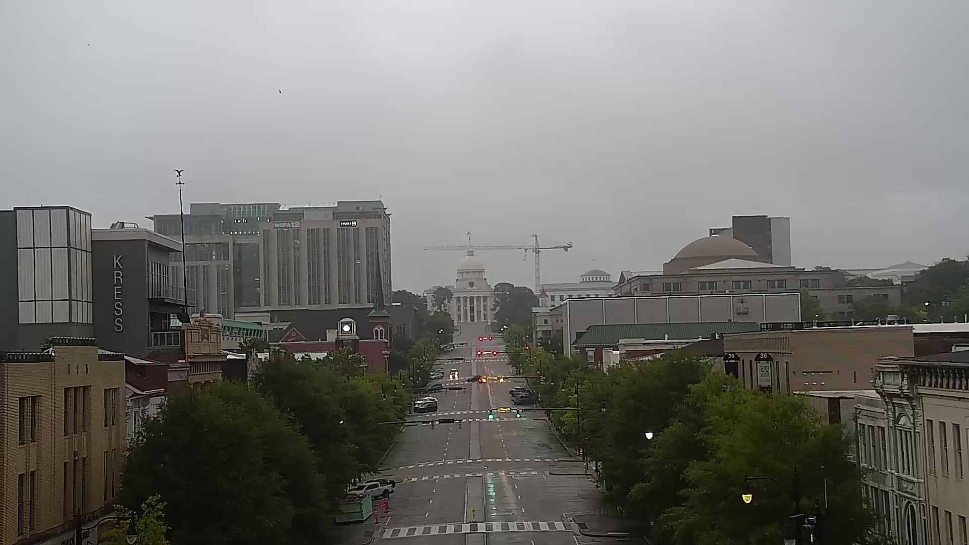
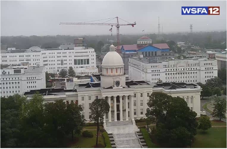
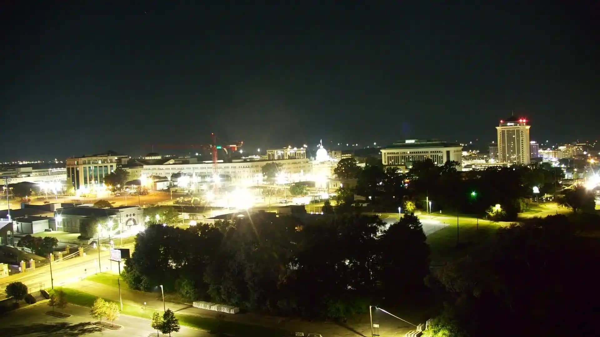
The stream is a regional news camera, so it is best used as a window on current conditions rather than a fixed scenic view. Watch it during daylight hours to judge cloud cover, rain and visibility, and check it before a drive into the area. Conditions change quickly in late spring and summer, when afternoon thunderstorms are common.
Selma has a humid subtropical climate, with hot, muggy summers and mild winters. Spring and autumn are generally the most comfortable seasons for visiting. The regional airport and the state capital Montgomery, about an hour's drive away, are the nearest transport hubs, and several other cameras in the Montgomery area are listed on this page.
Source: wsfa.com
Alabama, United States — 45 km
Alabama, United States — 53 km
Alabama, United States — 56 km
Alabama, United States — 59 km
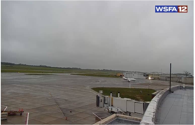
Alabama, United States — 60 km
Alabama, United States — 61 km
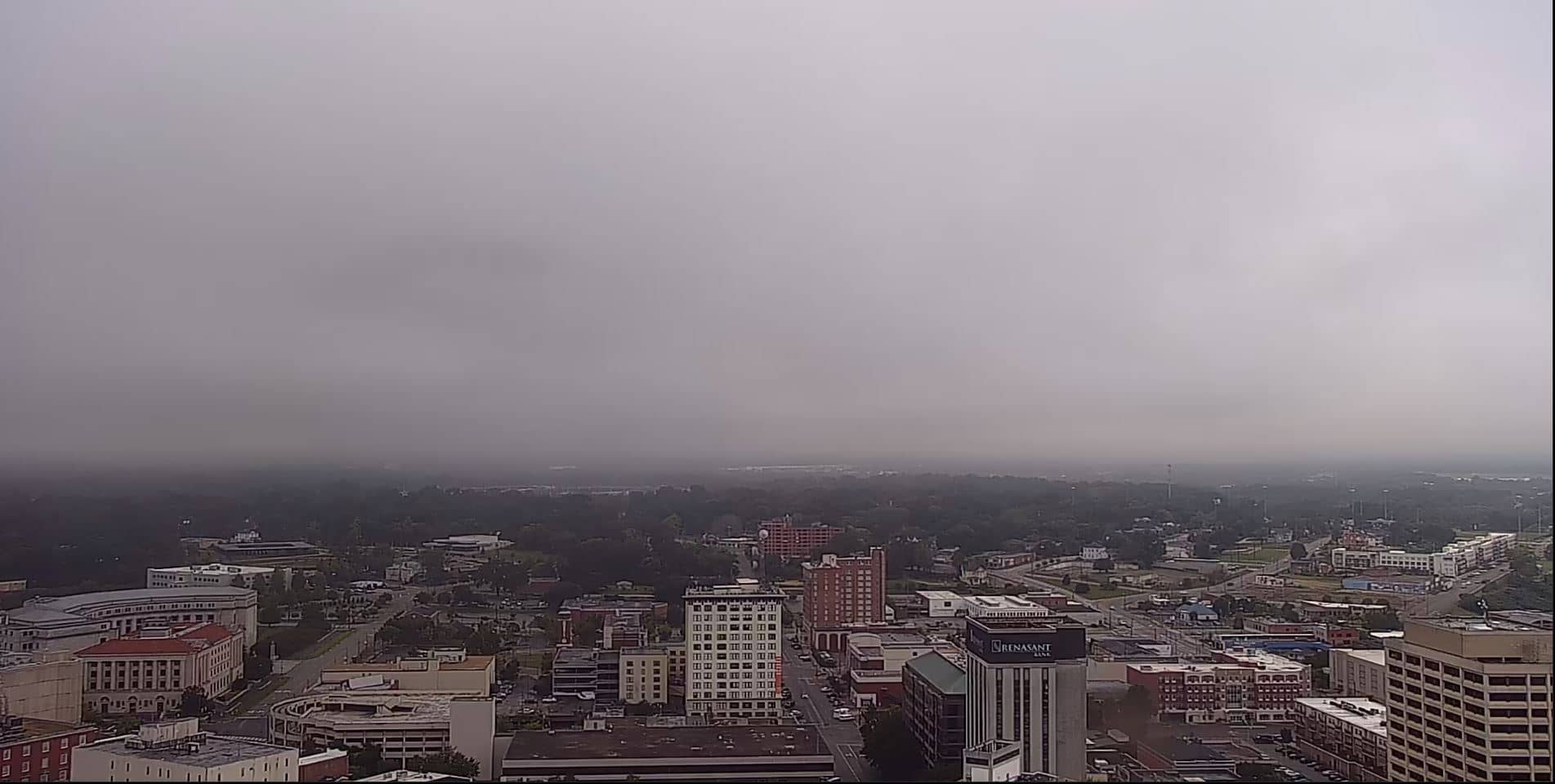
Alabama, United States — 66 km
Alabama, United States — 67 km
Alabama, United States — 68 km
Alabama, United States — 69 km
The current conditions and a three-day forecast for Selma are shown in the weather block on this page, and they update automatically while you watch.
The local time for Selma is displayed on this page, following the Central time zone used across this part of Alabama.
The camera is in Selma, Alabama, on the Alabama River, and the map on this page marks its position.
Daylight hours are the most useful for seeing conditions clearly, and late afternoon in spring or summer is worth watching for storm activity.
Partner links: we may earn a commission at no extra cost to you.