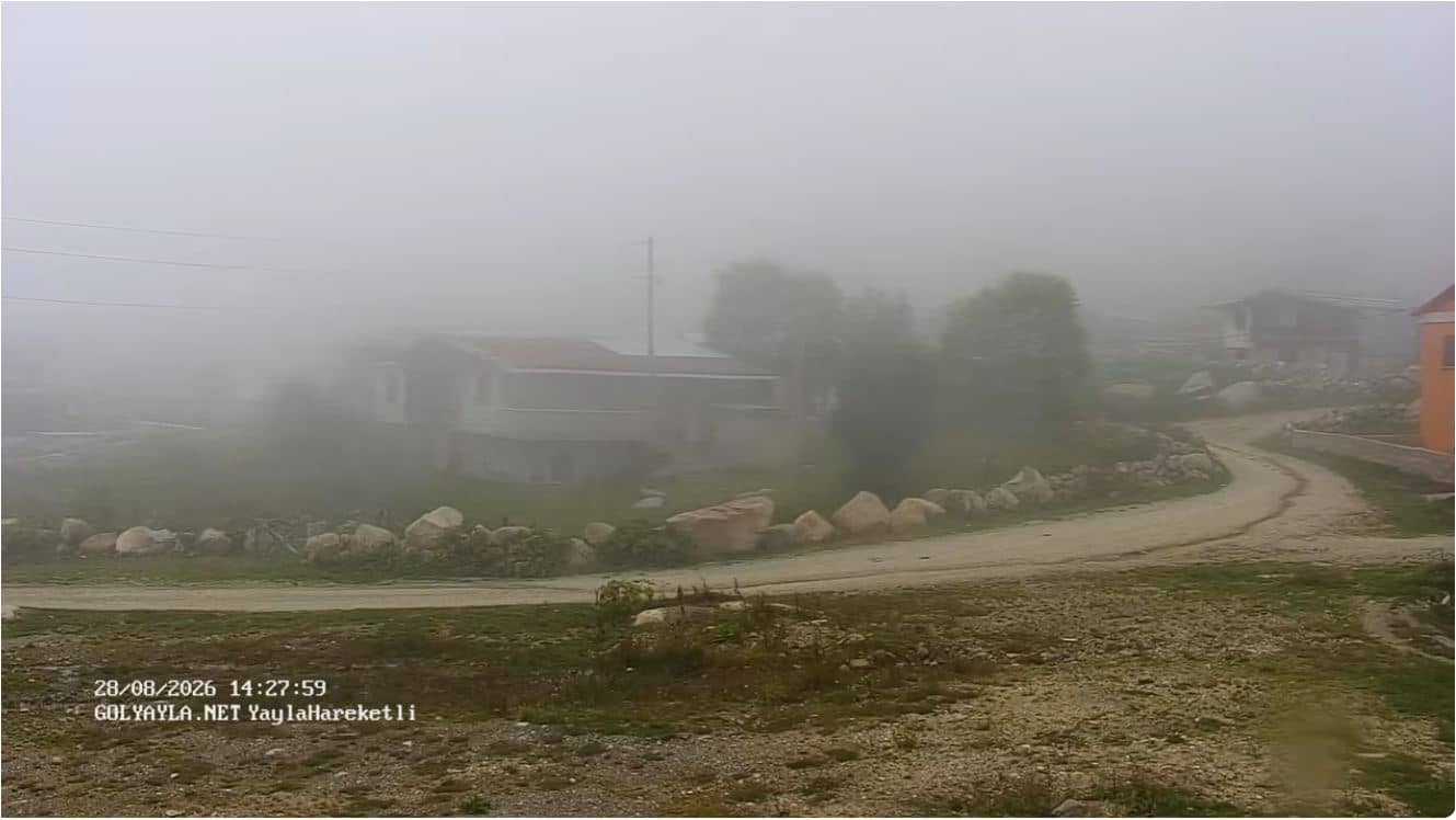
Gölyayla - Kabahor Gölyayla Yaylası
Rize, Türkiye — 0.6 km
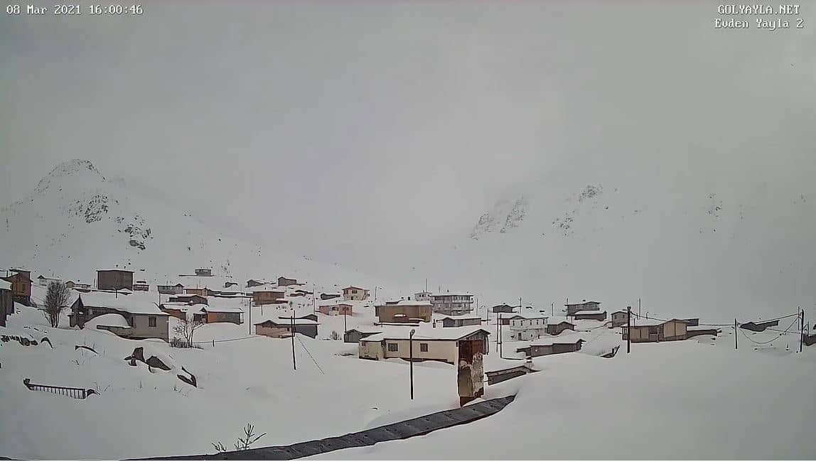
🇹🇷 Rize · Türkiye — Altitude 2396 m
This live camera looks out over Golyayla, a high yayla pasture in the Rize mountains of northeastern Türkiye at about 2,400 metres. It is a useful window onto mountain conditions in a region known for its wet, green slopes. Check the stream to judge cloud, fog and snow before planning a trip up the valley.
Golyayla sits on the high grassland plateaus above the Black Sea coast, in the Kaçkar foothills of Rize province. Yaylas are traditional summer pastures where families once moved their herds up from the villages in the warmer months. The landscape is rolling meadow framed by forested ridges, and the surrounding valleys are famous for tea gardens and a notably rainy climate.
The camera is most rewarding in the early morning, when cloud often lifts from the valleys and reveals the ridgelines. Late afternoon can bring fast-moving fog or showers, so the view changes quickly. In winter, snow cover transforms the meadows, while summer shows the greenest grass. Expect shifting weather rather than a fixed scene.
The yayla is best visited from late May to September, when roads and accommodation are open and the meadows are in bloom. Rain is common throughout the year, so pack waterproof layers. Nearby cameras include Ejder 3200 and Giresun, which help you compare conditions across the wider region before you set out.
Source: Golyayla.net
Rize, Türkiye — 0.6 km
Trabzon, Türkiye — 28 km
Trabzon, Türkiye — 34 km
Trabzon, Türkiye — 34 km
Trabzon, Türkiye — 36 km
Trabzon, Türkiye — 44 km
Trabzon, Türkiye — 45 km
Trabzon, Türkiye — 67 km
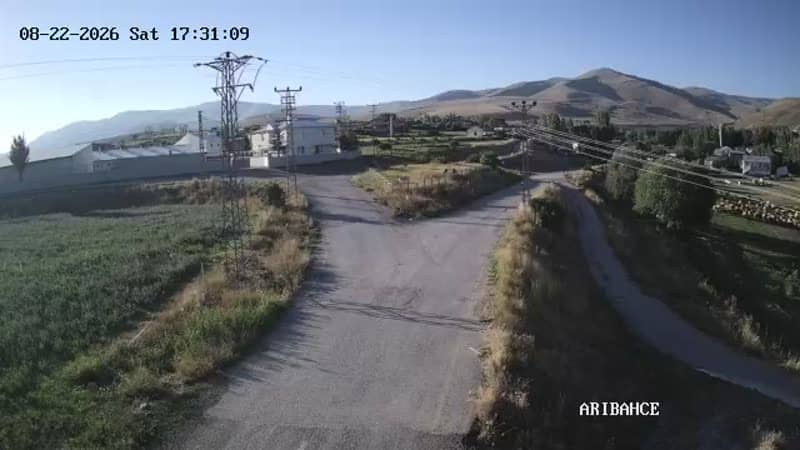
Erzurum, Türkiye — 79 km
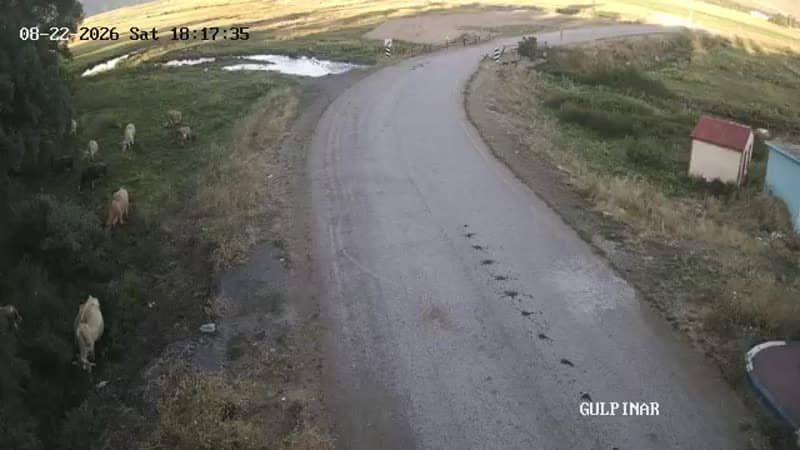
Erzurum, Türkiye — 79 km
The current conditions and a 3-day forecast are shown in the live weather block on this page. Mountain weather changes quickly, so check it again before a visit.
The local time is displayed on this page and updates live. Türkiye runs on a single time zone across the whole country.
The camera is in Golyayla, Rize province, northeastern Türkiye, at roughly 2,400 metres altitude. The map on this page shows its exact position.
Early morning often gives the clearest views before clouds build up. Summer shows the greenest meadows, while winter brings snow cover on the high pastures.
Partner links: we may earn a commission at no extra cost to you.