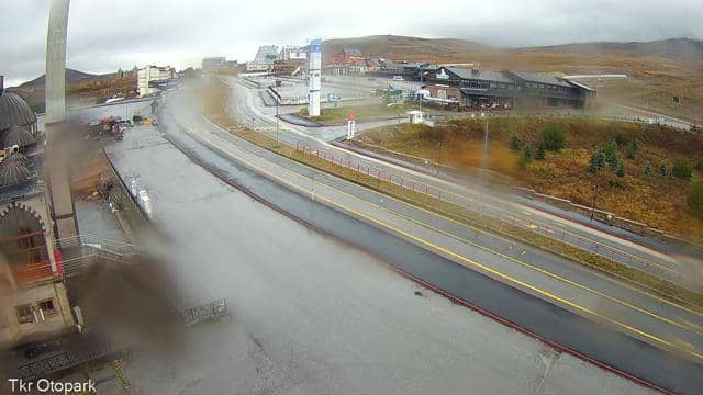
Kayseri - Tören Alanı
Kayseri, Türkiye — 0.1 km
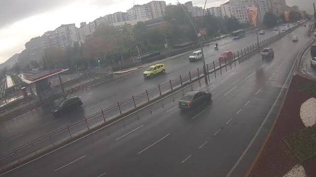
Kayseri - Hunat Camii ve Medresesi
🇹🇷 Kayseri · Türkiye — Altitude 1055 m
This camera looks at the Hunat Mosque and Madrasa in Kayseri, a historic complex in central Anatolia. The image is refreshed regularly from the city's own public stream, so you can check on the building and the street around it at almost any time. It is a useful window for anyone planning a visit or simply curious about the city's skyline.
Kayseri sits on the Erciyes Dağı foothills at roughly 1,000 metres above sea level, on the old caravan routes that once linked Anatolia with Syria and Persia. The city grew around a medieval fortress and became known for its Seljuk-era architecture, its markets and its strong craft traditions, including carpets and sucuk. The Hunat Mosque and Madrasa is one of the buildings that reflect this long history of religious and educational life in the centre of town.
Because the feed is a live image from the city, the view changes with the daylight and the weather. Mornings and late afternoons usually give the clearest light on stone facades, while clear winter days can show the surrounding mountains more sharply. The description of the stream does not promise any particular detail, so treat the image as a general view of the area rather than a fixed scene, and check it again at different hours to see how the square and traffic change.
Kayseri has a continental climate, with hot dry summers and cold snowy winters, and spring and autumn are generally the most comfortable seasons for walking the old quarters. The city has its own airport and bus connections to Ankara and other regional centres. Other cameras from the same municipal network are listed on this page, including Mehmet Şafak Yaşam Parkı, Tören Alanı, Yoğunburç and Düvenönü 1, which show different parts of the city.
Source: izle.kayseri.bel.tr
Kayseri, Türkiye — 0.1 km
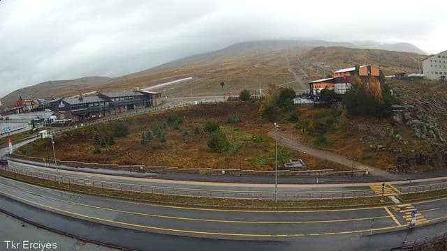
Kayseri, Türkiye — 0.1 km
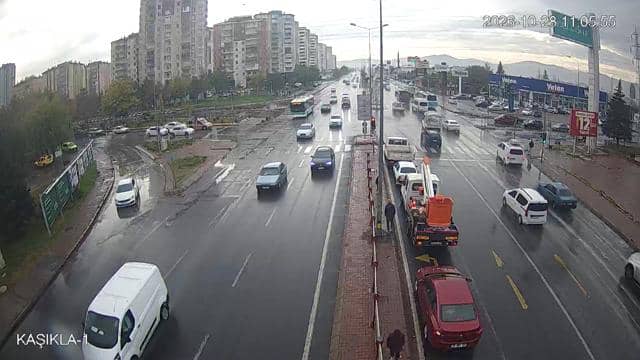
Kayseri, Türkiye — 0.4 km
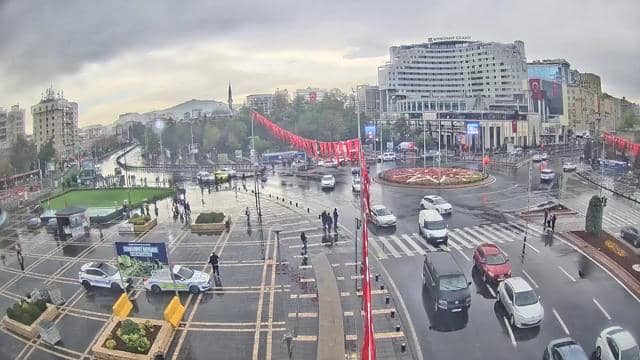
Kayseri, Türkiye — 0.4 km
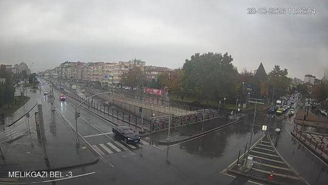
Kayseri, Türkiye — 1.3 km
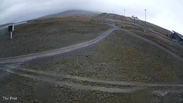
Kayseri, Türkiye — 2.1 km
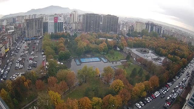
Kayseri, Türkiye — 2.8 km
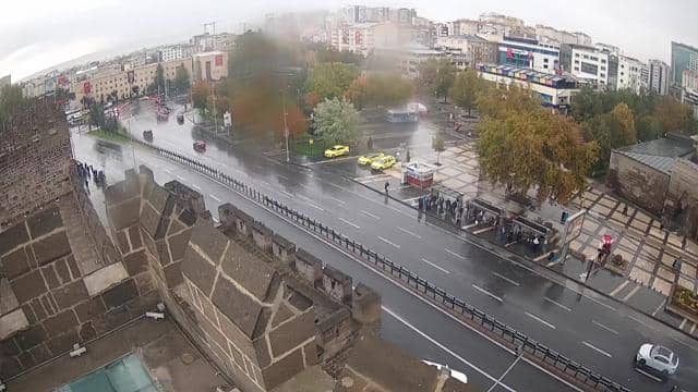
Kayseri, Türkiye — 4 km
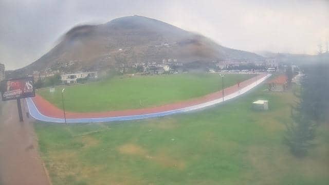
Kayseri, Türkiye — 4.3 km
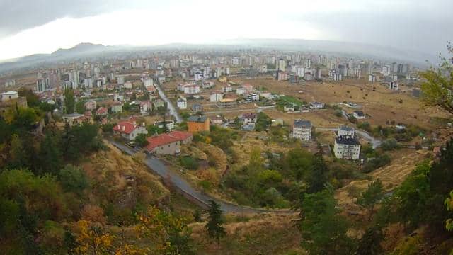
Kayseri, Türkiye — 8.5 km
The current conditions and a three-day forecast for Kayseri are shown in the live weather block on this page. They update automatically, so you do not need to refresh the page for the latest values.
The local time for Kayseri is displayed on this page and updates live. Turkey uses a single time zone across the country, so the clock matches the rest of the nation.
The camera is located in the centre of Kayseri in Türkiye, at approximately 38.72 north and 35.49 east, at an altitude of about 1,055 metres. A map on this page marks its position in the city.
Early morning and late afternoon usually give the most even light on the buildings. The best moment depends on the weather, so check the live image at different times of day.
Partner links: we may earn a commission at no extra cost to you.