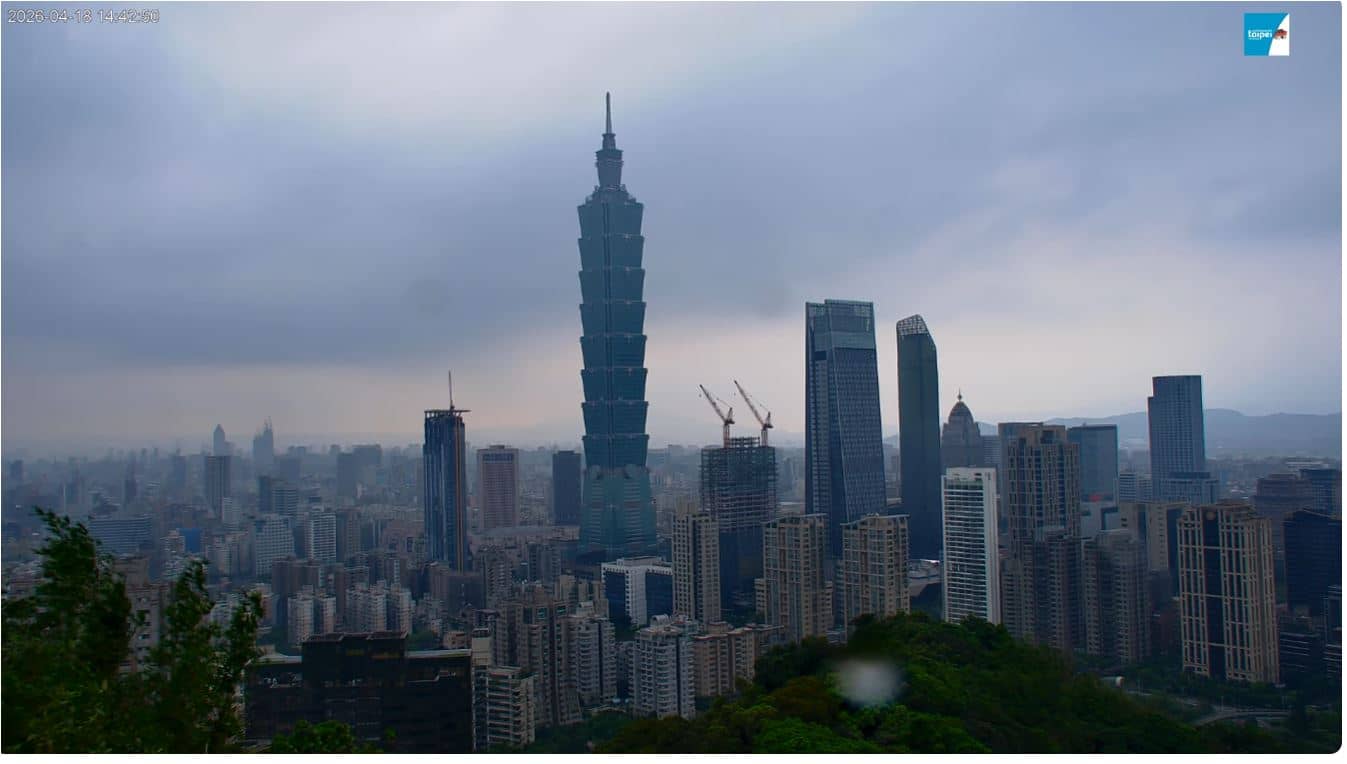
Taipei City - Top of Xiangshan
New Taipei, Taiwan — 5.2 km
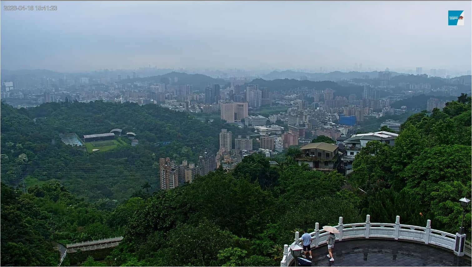
Taipei City - Maokong Zhinan Temple
🇹🇼 New Taipei · Taiwan — Altitude 175 m
This live camera looks toward Zhinan Temple on the Maokong hills in southern Taipei. It is a quick way to check how the mountain looks right now and whether the clouds are sitting low over the tea gardens. The page also shows the local time and a three-day forecast for the area.
Maokong sits in the hills south of central Taipei, at around 175 metres above sea level in this part of the district. It is known for its tea plantations, especially Tieguanyin oolong, and for the gondola that carries visitors up from the city. Zhinan Temple, a Taoist temple set into the forested slopes, is one of the area's best-known landmarks. The atmosphere is noticeably cooler and quieter than the streets below.
The title names the temple, so the view is centred on the temple grounds and the hillside around them. Depending on the angle and weather, you may see forested ridges, rooftops and drifting mist. Mornings are often clearer before cloud builds up, while afternoons and rainy spells can bring fog that hides the slopes. Watching at different times shows how quickly the mountain weather can change.
Maokong is most easily reached by the Wenhu Line to Taipei Zoo, followed by the Maokong Gondola or local buses up the hill. Spring and autumn are generally the most comfortable seasons, while summer brings heat and frequent showers. Other cameras nearby include Top of Xiangshan, Hunglodei temple and Dadaocheng Wharf, which together give a broader picture of the city and its surroundings.
Source: taipeitravelofficial
New Taipei, Taiwan — 5.2 km
New Taipei, Taiwan — 9.1 km
Taiwan, China — 12 km
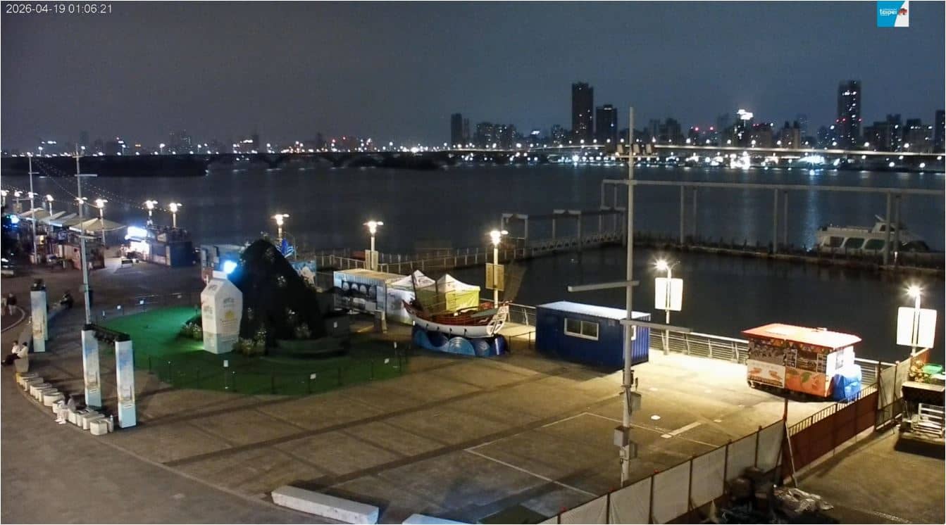
New Taipei, Taiwan — 12 km
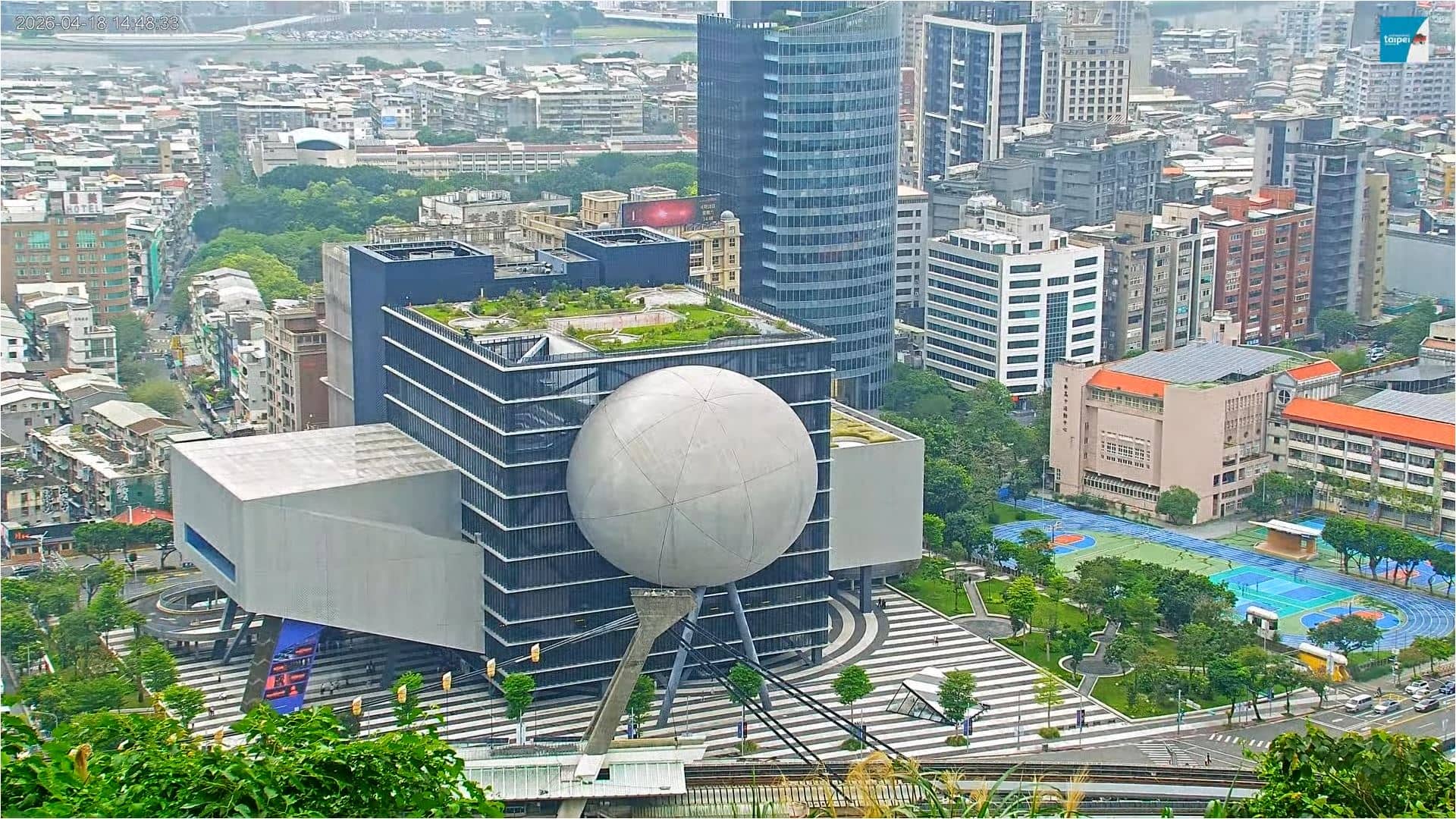
New Taipei, Taiwan — 13 km
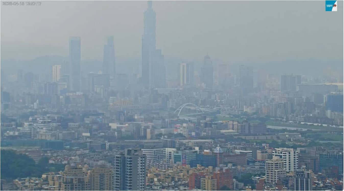
New Taipei, Taiwan — 13 km
New Taipei, Taiwan — 22 km
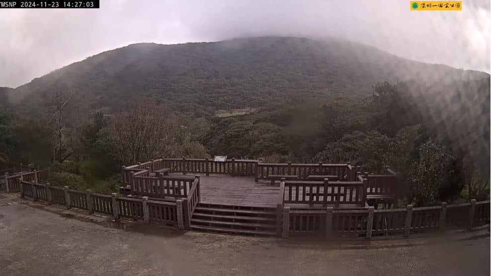
Taiwan, China — 23 km
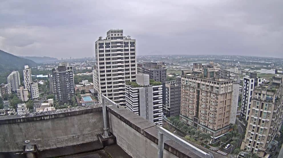
Taiwan, China — 25 km
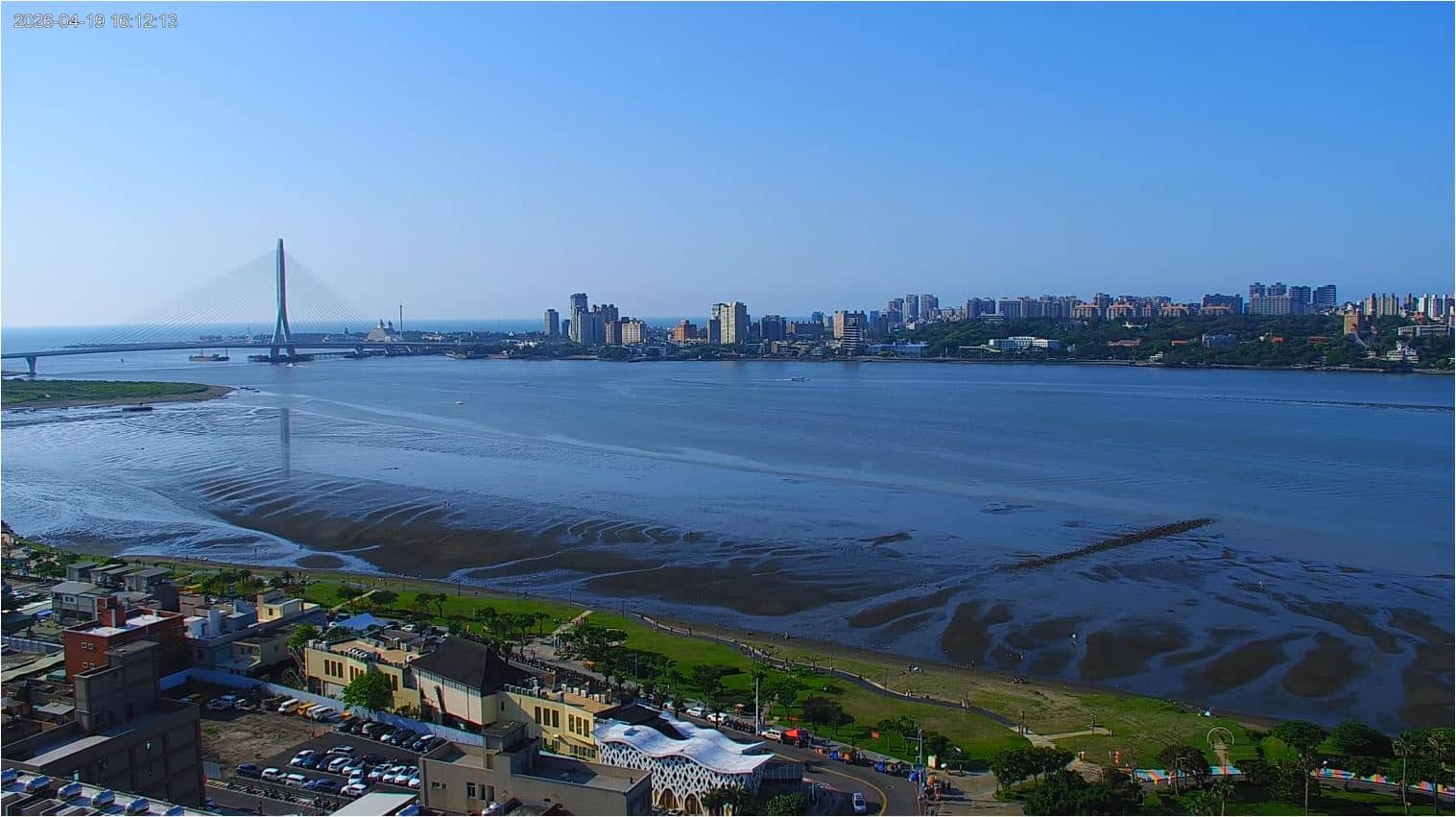
New Taipei, Taiwan — 26 km
The current conditions and a three-day forecast for the area are shown in the live weather block on this page. Mountain weather can differ from the city, so check it before heading up.
The local time for Taipei is displayed on this page and updates automatically. It follows the local clock for the camera's location.
The camera is on the Maokong hills in southern Taipei, at roughly 175 metres altitude. The map on this page shows its precise position and the surrounding area.
Early mornings tend to offer the clearest views before cloud and mist develop. Rainy or foggy days can hide the slopes, so the view changes a lot from hour to hour.
Partner links: we may earn a commission at no extra cost to you.