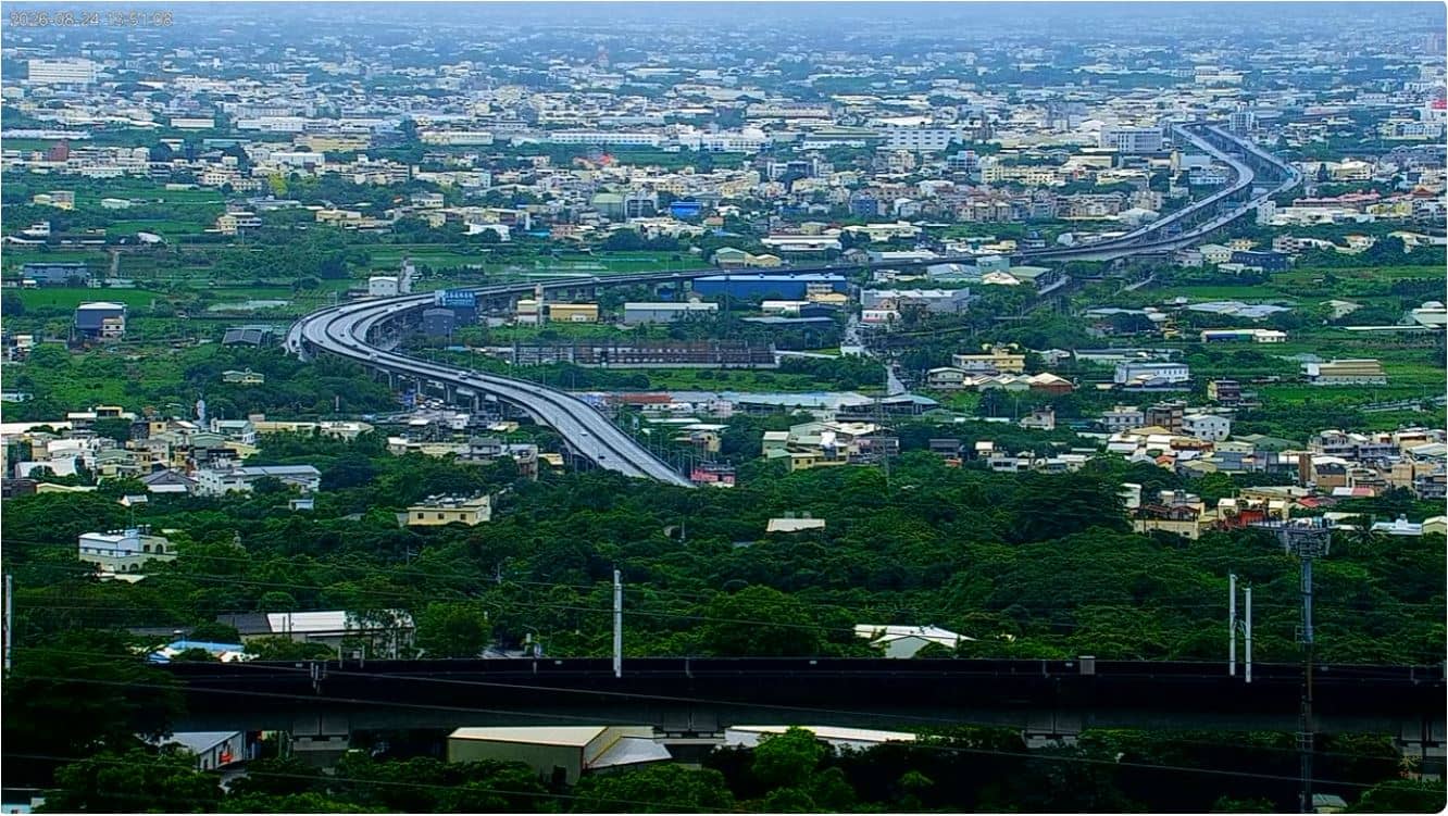
Yuanlin - Bagua Mountain - Changhua Plain
Changhua County, Taiwan — 45 km
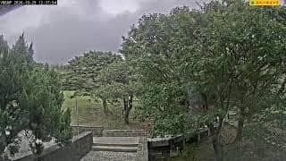
Xinyi Township - 七星山實景
🇹🇼 Nantou County · Taiwan — Altitude 844 m
This camera looks out from the high ground around Mount Qixing, above Xinyi Township in Nantou County, central Taiwan. It is a useful way to check how the mountain landscape looks right now, before you plan a walk or a drive into the highlands. The page adds local time and the weather forecast alongside the live picture.
Xinyi Township sits in the hills of Nantou County, one of the few Taiwanese counties without a coastline. Mount Qixing, at about 844 metres above sea level in this area, is known for its open views over forested ridges and the surrounding valleys. The region is a gateway to central Taiwan's mountains and is closely tied to the island's tea and fruit farming traditions. The landscape changes quickly with altitude, from warm lowland fields to cooler, misty slopes.
The title names the mountain and the township, so the view is most likely of the high ground and the landscape around it rather than of a town centre. Mornings are often clearer, while cloud and mist tend to build up through the afternoon, especially in the rainy months. Watching during daylight gives the best chance of seeing the ridges and valleys, and sudden changes in cloud cover can transform the scene within minutes.
Taiwan's central highlands have a subtropical climate, with hot, humid summers and milder, drier winters at higher altitude. Typhoon season runs roughly from summer into early autumn and can bring heavy rain. Other live cameras nearby include Gukeng Township's Qingtian Gang grassland, about 45 km away, and Alishan, about 58 km away, for comparison of different mountain conditions.
Source: CamStreamer
Changhua County, Taiwan — 45 km
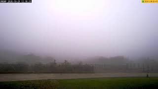
Yunlin County, Taiwan — 45 km
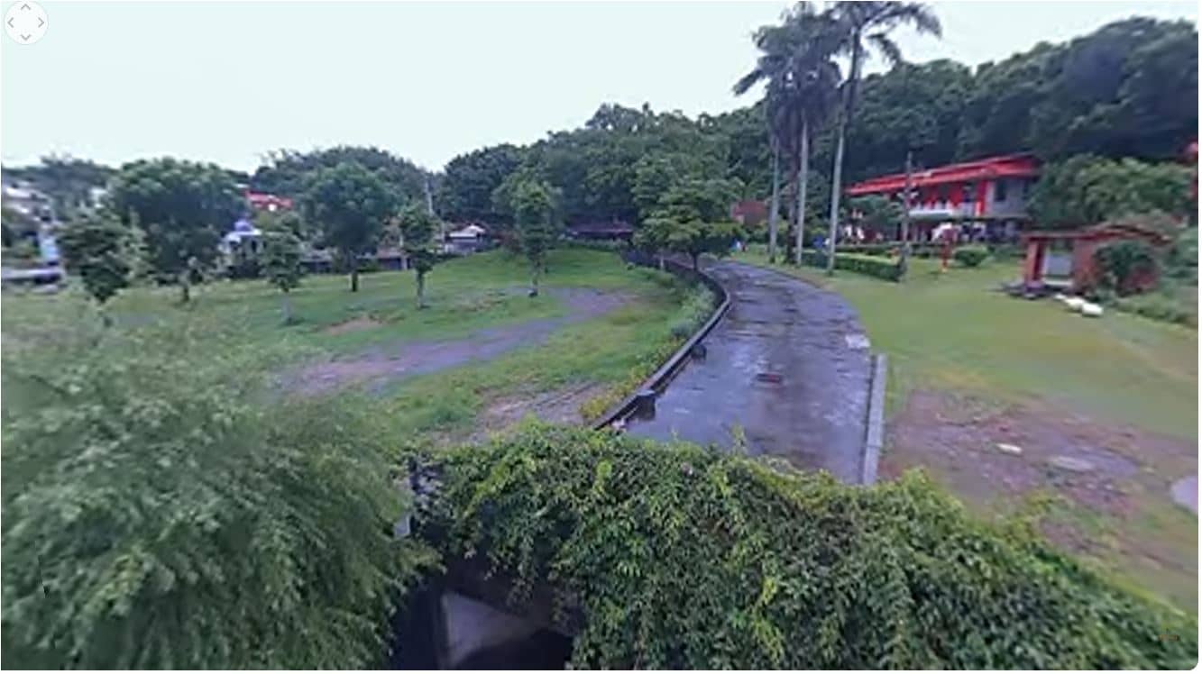
Changhua County, Taiwan — 52 km
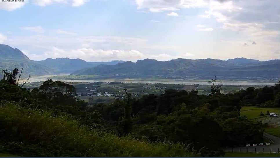
Hualien County, Taiwan — 54 km
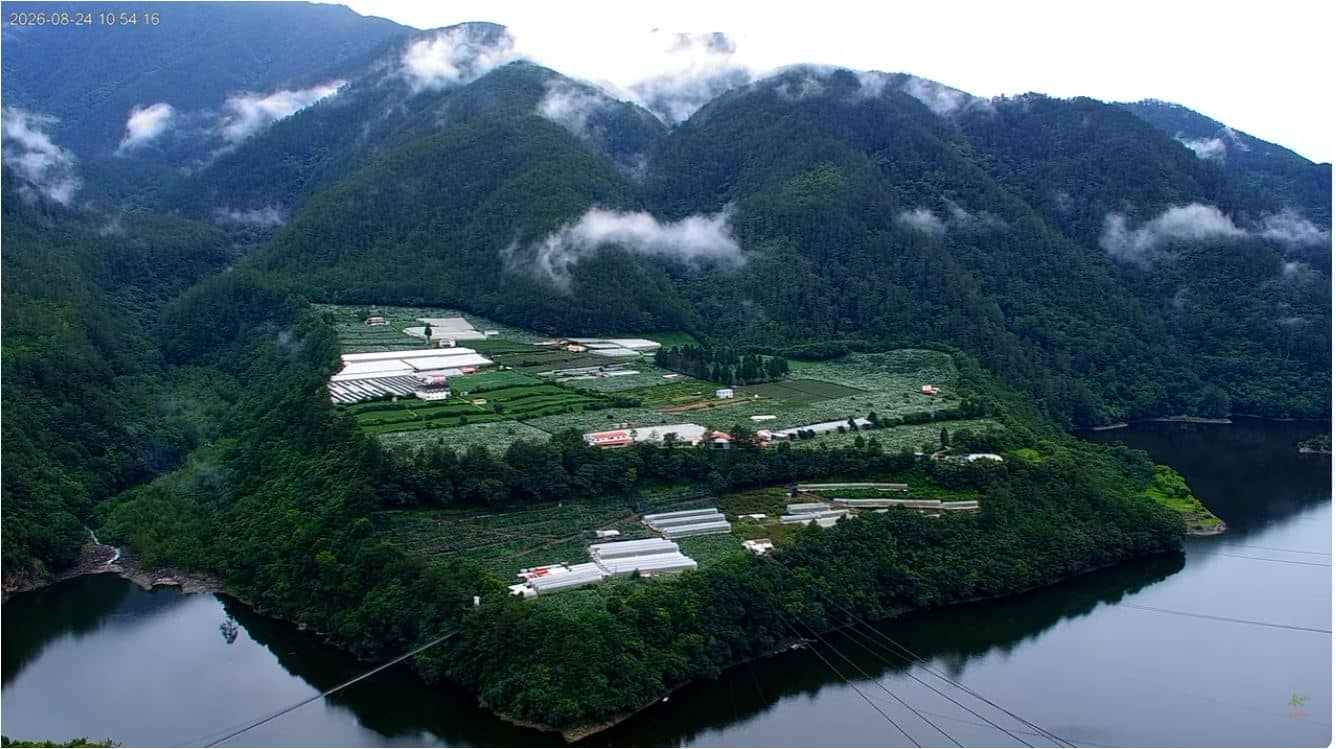
Taichung, Taiwan — 55 km
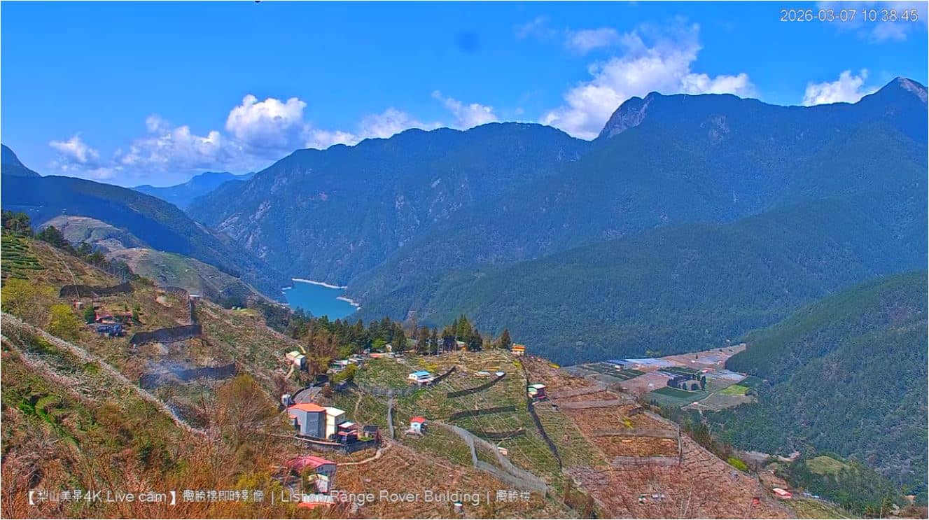
Taichung, Taiwan — 57 km
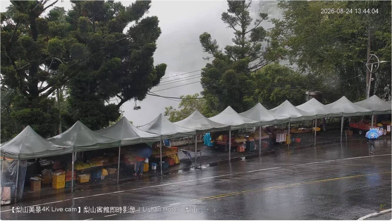
Taichung, Taiwan — 57 km
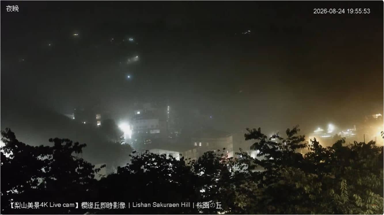
Taichung, Taiwan — 57 km
Hualien County, Taiwan — 61 km
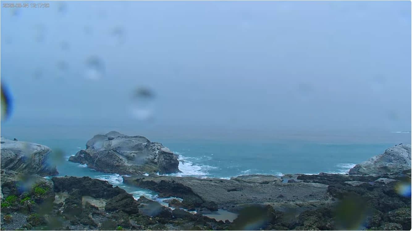
Hualien County, Taiwan — 63 km
The current conditions and a three-day forecast for Xinyi Township are shown in the weather block on this page. They update with the latest available data for the area.
The local time for Xinyi Township is displayed on this page, so you can check it against the live view before planning a visit or a call.
The camera is in Xinyi Township, Nantou County, central Taiwan, at an elevation of about 844 metres. The map on this page shows its location in the highlands.
Daylight hours are best for seeing the landscape, and mornings are often the clearest. Cloud and mist are common in the afternoon, particularly during the rainy season.
Partner links: we may earn a commission at no extra cost to you.