Lucerne - Lac des Quatre-Cantons
Lucerne, Switzerland — 0.3 km
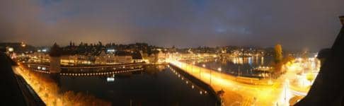
Lucerne - Vue sur la ville
🇨🇭 Lucerne · Switzerland — Altitude 437 m
This live camera looks out over Lucerne, the historic town where the Reuss river leaves Lake Lucerne. It is a practical way to check how the city looks right now before you travel or plan a walk along the water.
Lucerne sits in central Switzerland at the northwestern end of Lake Lucerne, surrounded by hills and close to the Alps. The old town is known for its medieval wooden footbridge, its well preserved walls and towers, and its position as a gateway to the lake and the mountains. The atmosphere is calm and lakeside, shaped by water, old rooftops and the rise of the surrounding slopes.
The view shows the city itself, so conditions such as cloud cover, haze, rain or snow on the rooftops and the water are the main things to check. Depending on the angle, you may see the river and the lake's edge. Clear mornings and late afternoons in good light tend to be the most rewarding moments to look, while winter days can bring low cloud over the hills.
Lucerne has a temperate climate with warm summers and cold, often grey winters. Spring and early autumn are popular for walking and boat trips on the lake. Nearby cameras on this site include views of the lake and of the Hotel des Balances area, which can help you compare conditions from different spots in the town.
Source: roundshot.com
Lucerne, Switzerland — 0.3 km

Lucerne, Switzerland — 0.3 km
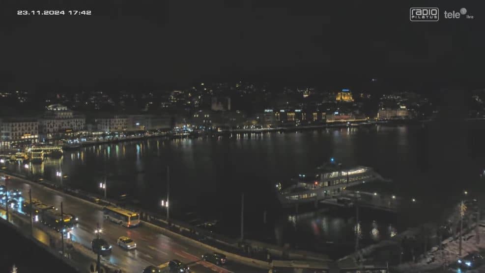
Nidwalden, Switzerland — 0.6 km
Lucerne, Switzerland — 1.3 km

Lucerne, Switzerland — 1.4 km

Lucerne, Switzerland — 3.3 km
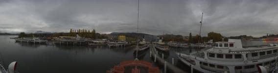
Lucerne, Switzerland — 7.3 km
Lucerne, Switzerland — 8 km
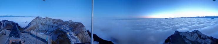
Obwalden, Switzerland — 8.9 km
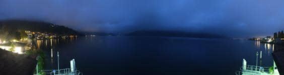
Lucerne, Switzerland — 9.7 km
The current conditions and a three-day forecast for Lucerne are shown in the live weather block on this page, updated alongside the camera.
The local time in Lucerne is shown on this page. Switzerland follows Central European Time, with daylight saving in summer.
The camera is in Lucerne, central Switzerland, at roughly 437 metres above sea level. The map on this page shows its location.
Clear days with good light, especially morning and late afternoon, make the view easiest to read. Check the live weather first to see whether cloud or rain is likely.
Partner links: we may earn a commission at no extra cost to you.