St. Moritz - Corviglia
Graubünden, Switzerland — 2.7 km
Celerina - Trais Fluors Bergstation
🇨🇭 Graubünden · Switzerland
This camera watches the mountain station at Trais Fluors above Celerina, in the Upper Engadine valley of Graubünden. It is useful for judging snow, cloud and visibility on the slopes before you travel. The live player is provided by the source and linked below.
Celerina sits on the floor of the Upper Engadine, a high valley of Switzerland at roughly 1,700 metres, close to St. Moritz. The area is known for its lakes, larch forests and wide views toward the surrounding peaks. Winter brings ski runs and cross-country trails, while summer opens hiking routes and mountain paths that start from the valley. The landscape changes noticeably between the valley floor and the upper slopes.
Because the camera is aimed at a mountain station, the most useful information is usually the sky, cloud base and snow cover on the upper terrain. Clear mornings tend to give the sharpest views of the peaks, while afternoon clouds often build over the high ground. Watch in winter if you plan to ski, or in summer if you want to check whether hiking weather is holding. The view can change quickly with weather.
The Engadine has a cold, dry continental climate with sunny spells, large day-to-day temperature swings and snow from late autumn into spring. Summers are mild and short. Celerina is reached by road and by the regional rail line serving St. Moritz, and the valley is well connected for day trips. Nearby St. Moritz cameras on Corviglia and Piz Nair show the wider ski area.
Source: feratel.com
Graubünden, Switzerland — 2.7 km

Graubünden, Switzerland — 3.5 km

Graubünden, Switzerland — 3.6 km
Graubünden, Switzerland — 3.8 km

Graubünden, Switzerland — 4.1 km
Graubünden, Switzerland — 4.1 km

Graubünden, Switzerland — 4.4 km
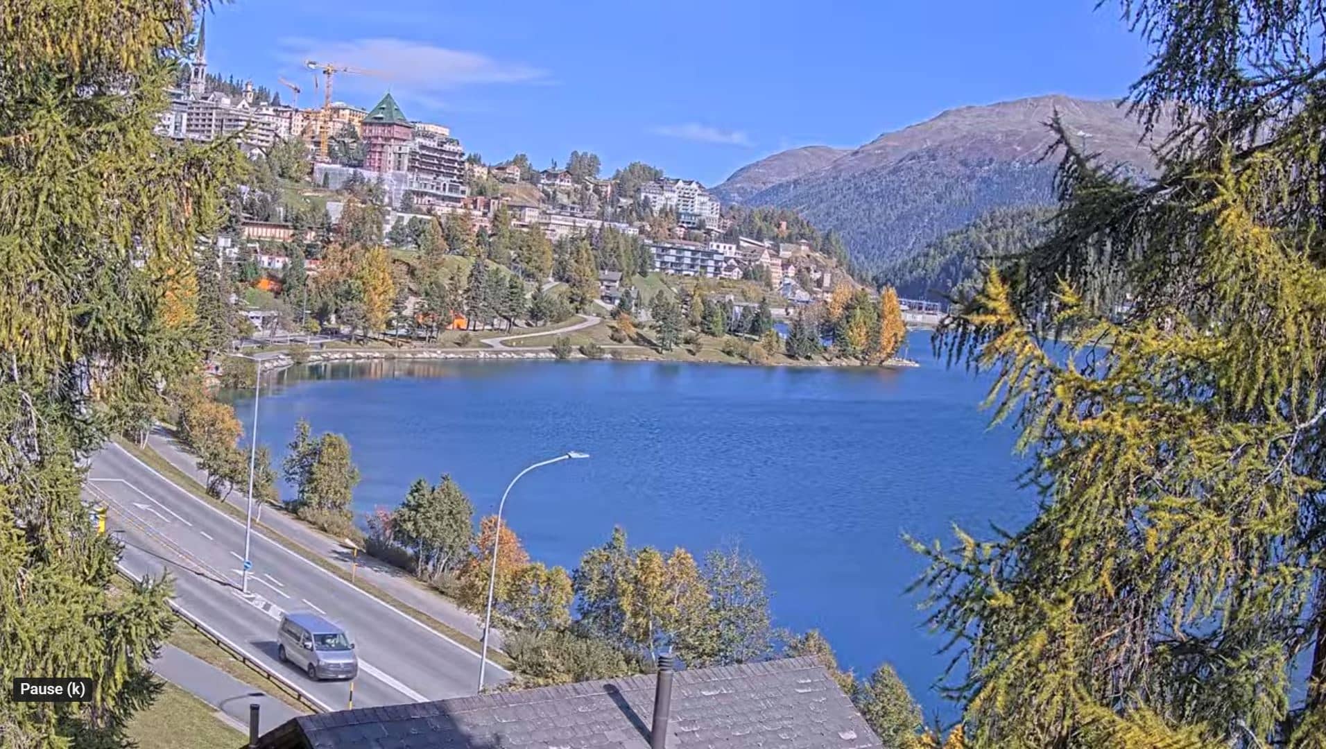
Graubünden, Switzerland — 4.6 km

Graubünden, Switzerland — 4.8 km
Graubünden, Switzerland — 6.3 km
The current conditions and a three-day forecast for Celerina are shown in the weather block on this page. The values update with the page, so check there rather than relying on older information.
The local time for Celerina is displayed on this page and follows the Swiss clock, including daylight saving changes. Use the time block on the page for the current value.
The camera is at the Trais Fluors mountain station above Celerina in the Upper Engadine. The map on this page marks its position, and it is close to the St. Moritz ski area.
Morning often gives the clearest view of the peaks, and winter is the season for snow conditions. In summer, check the sky before planning a hike from the upper station.
Partner links: we may earn a commission at no extra cost to you.