
Espot - Cap del Bosc
Catalonia, Spain — 18 km

Port Ainé - Clots
🇪🇸 Catalonia · Spain — Altitude 2100 m
This live view looks out over Port Ainé, a mountain pass area in the Catalan Pyrenees at about 2,100 metres. It is a practical window for anyone wanting to check the mountain conditions before travelling up into the high valleys of Lleida.
Port Ainé sits in the Pallars Sobirà area of Catalonia, a region of steep valleys, pine forests and high limestone peaks along the Spanish side of the Pyrenees. The settlement is best known as a winter sports location, and in summer the surrounding slopes attract walkers and mountain bikers. The landscape changes quickly with altitude, so conditions at the pass can differ noticeably from those in the villages below.
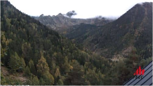
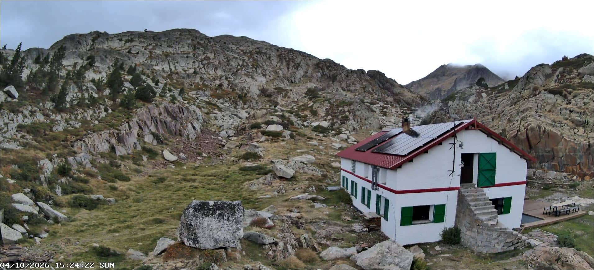
The camera is listed as a port view, so it is aimed at the mountain pass and the road or slopes that cross it. Depending on the framing, you may see snow cover in winter, the clearing of mist in the morning, or the shifting colours of the forest in autumn. Early and late hours of the day often show the clearest light on the peaks, and a clear sky usually gives the best sense of how high the pass really is.
Winters are cold with frequent snowfall at this altitude, while summers are mild and comfortable for hiking. Conditions can change within an hour, so checking the live view and the local weather block before leaving is sensible. Other cameras nearby include Espot, about 18 km away, and Pal and Alins, both within roughly 27 km, which help show how weather varies across the valleys.
Source: roundshot.com
Catalonia, Spain — 18 km

Catalonia, Spain — 18 km
La Massana, Andorra — 26 km
Catalonia, Spain — 27 km
Catalonia, Spain — 29 km
Ordino, Andorra — 31 km

Catalonia, Spain — 32 km
Ordino, Andorra — 32 km
Catalonia, Spain — 32 km

Catalonia, Spain — 33 km
The current conditions and a three-day forecast are shown in the weather block on this page. Because the pass is high, temperatures and snow conditions can differ noticeably from the valley towns.
The local time is displayed on this page and follows the Spanish time zone used across Catalonia. Use it to judge daylight and plan your viewing or travel.
The camera is in the Pallars Sobirà area of the Catalan Pyrenees at roughly 2,100 metres altitude. The map on this page shows its precise location and its position relative to nearby cameras.
It depends on what you want to see. Winter shows snow-covered slopes, while summer and autumn reveal the forests and open mountain paths, and the early morning often gives the clearest view.
Partner links: we may earn a commission at no extra cost to you.