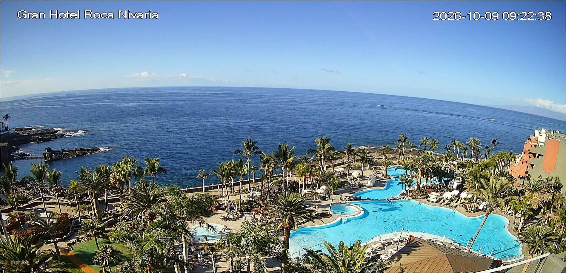
Adeje - Roca Nivaria Gran Hotel, Costa Adeje
Canary Islands, Spain — 129 km
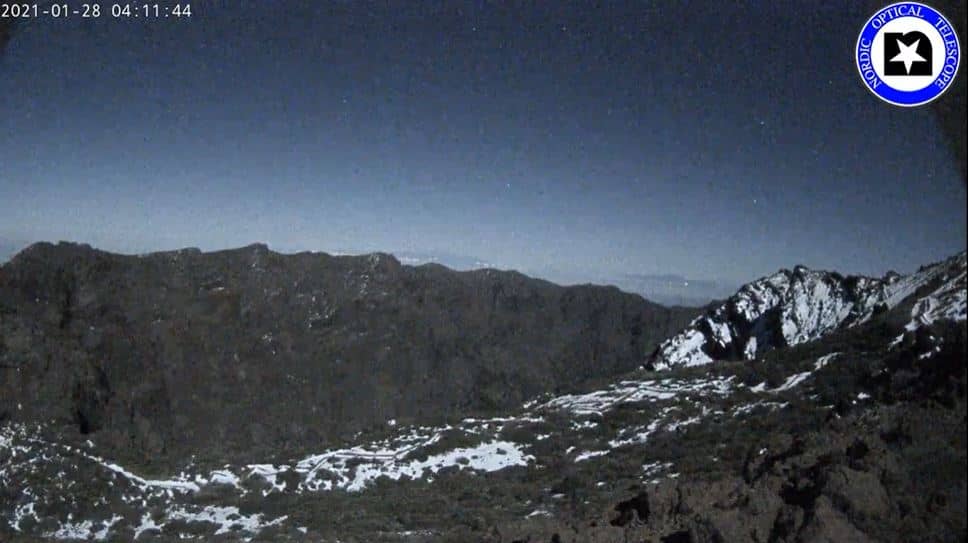
🇪🇸 Canary Islands · Spain — Altitude 2365 m
This live stream looks out over the Caldera de Taburiente, the vast volcanic crater at the heart of La Palma in the Canary Islands. The camera stands at about 2,365 metres, so the view and the conditions can differ sharply from the coast below. Watch it to check how the caldera looks right now.
The Caldera de Taburiente is one of the largest erosion craters in the world, a roughly circular basin ringed by steep cliffs, pine forest and deep ravines. It is part of the Caldera de Taburiente National Park, known for its geology, its ancient pine woods and its clear mountain air. The landscape changes quickly with altitude, moving from dry lower slopes to dense woodland and bare rock higher up.
Because the camera is set high on the island, cloud often rolls in over the rim during the day, and clearing skies can reveal the crater walls in striking detail. Early morning and late afternoon bring the strongest light across the cliffs. Depending on the view, you may see shifting cloud banks, sunlight on the ridges or a sea of cloud below the summit. Weather at this height can change within minutes.
La Palma has a mild subtropical climate, though temperatures fall noticeably at altitude, so pack warm layers for any visit to the park. Spring and autumn are generally comfortable for walking. If you want to compare conditions elsewhere in the Canaries, the nearby cameras at Adeje, Santa Cruz, Tejeda and Las Palmas show other parts of the archipelago on the same live map.
Source: Nordic Optical Telescope
Canary Islands, Spain — 129 km
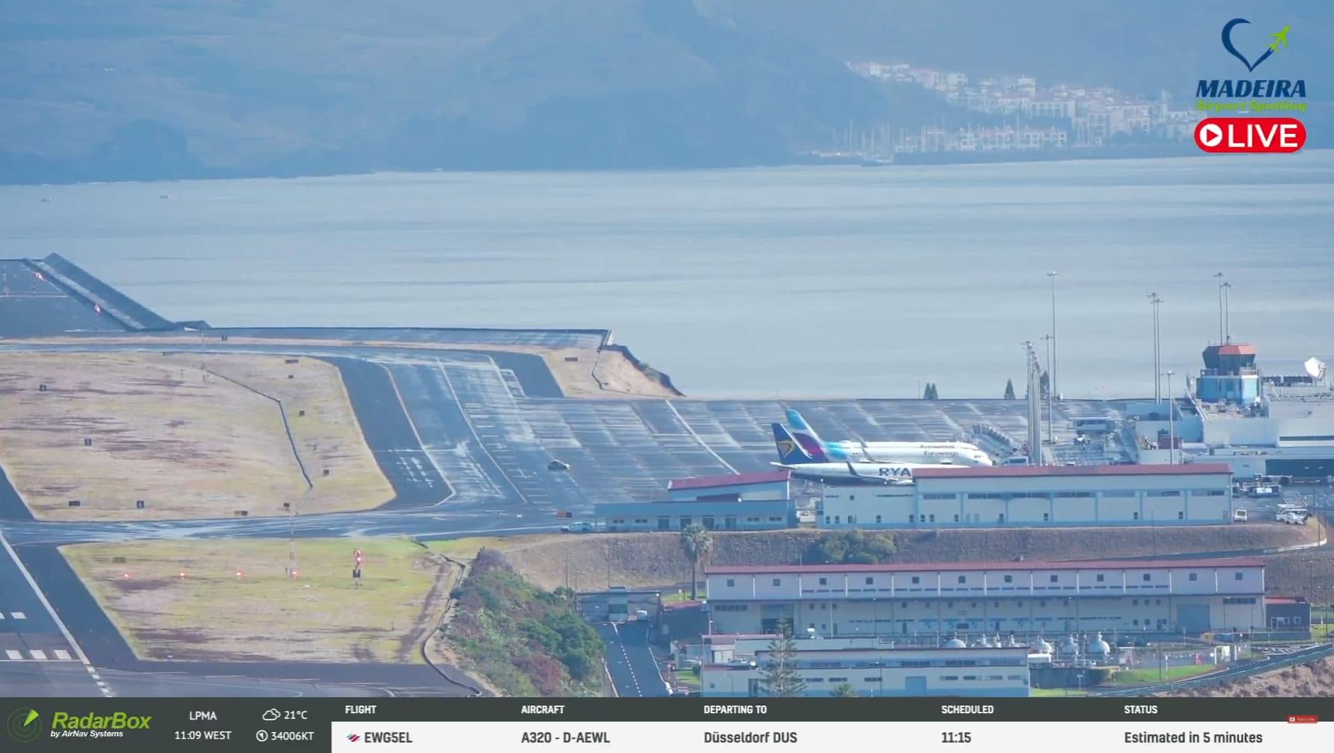
Canary Islands, Spain — 153 km
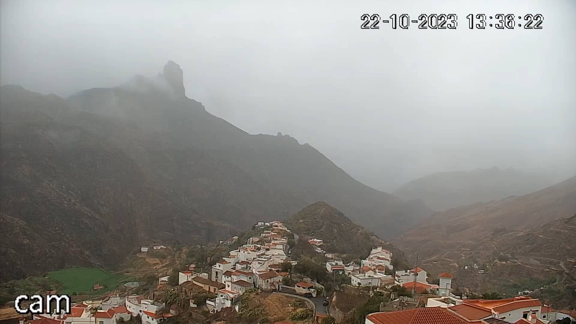
Canary Islands, Spain — 237 km
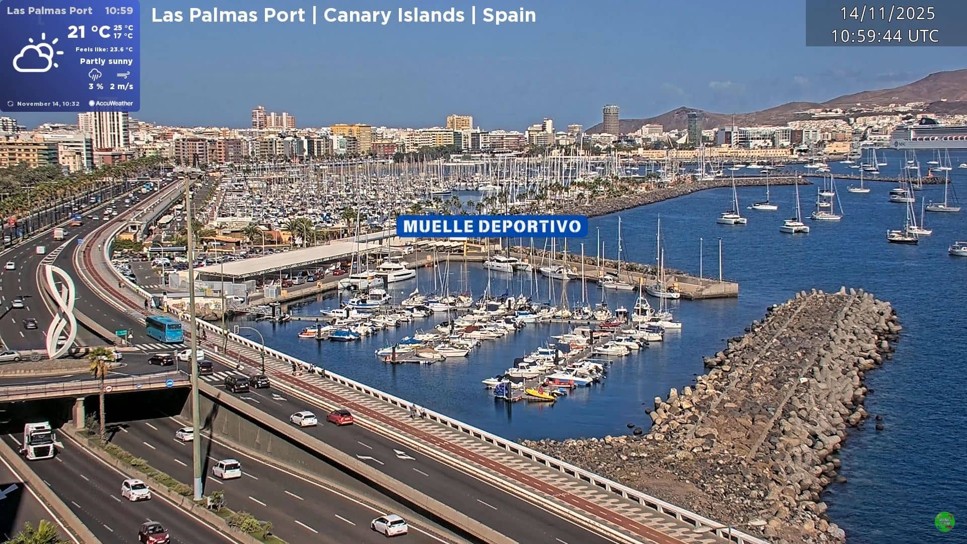
Canary Islands, Spain — 250 km
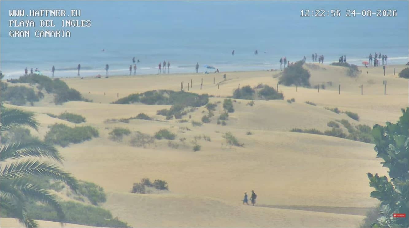
Canary Islands, Spain — 252 km
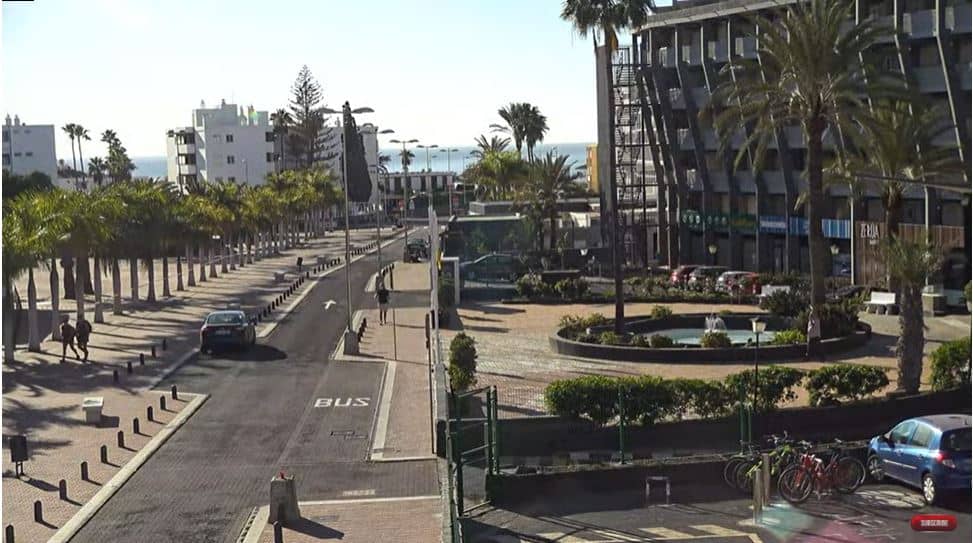
Canary Islands, Spain — 252 km
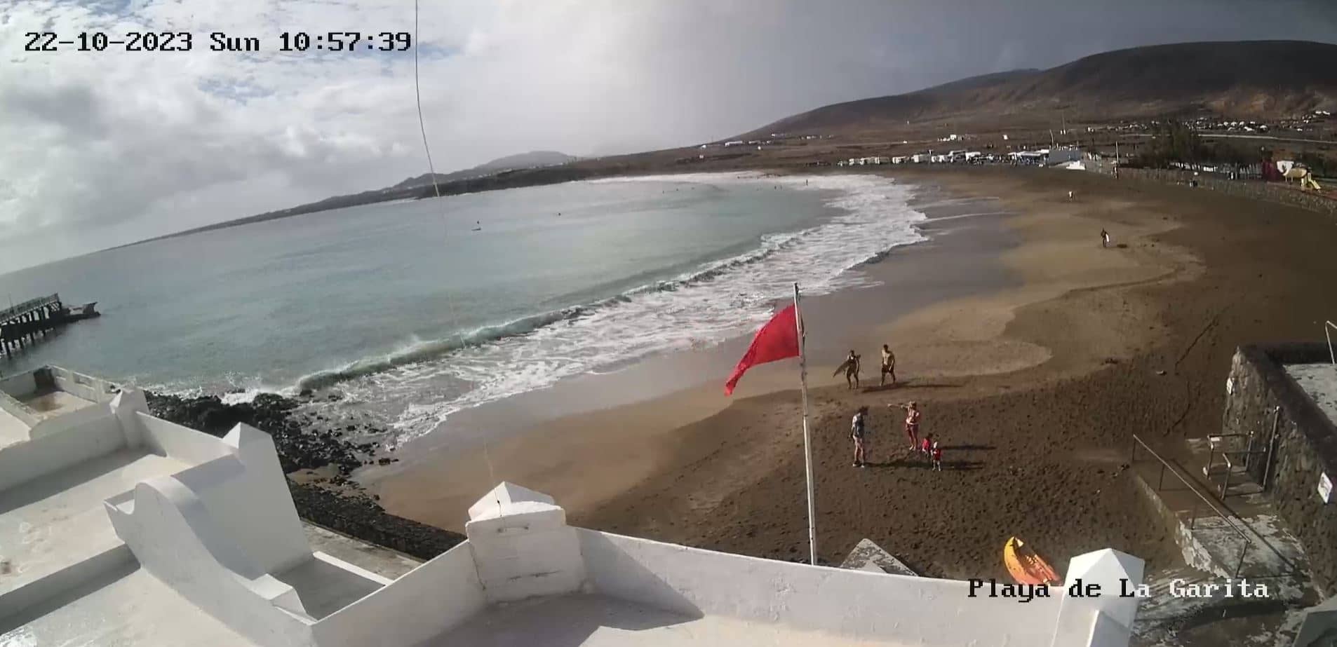
Canary Islands, Spain — 259 km
Canary Islands, Spain — 262 km
Canary Islands, Spain — 363 km
Canary Islands, Spain — 394 km
The current conditions and a 3-day forecast are shown in the live weather block on this page. At this altitude they can differ noticeably from the coast, so check before heading up.
The local time for this camera is displayed on the page and updates automatically. The Canary Islands keep their own local time, so it may differ from mainland Spain.
The camera is in the Caldera de Taburiente area on La Palma, at roughly 2,365 metres above sea level. The map on the page shows its exact position within the island.
Early morning and late afternoon usually offer the clearest light on the crater walls. Cloud cover can shift throughout the day, so the view may change quickly.
Partner links: we may earn a commission at no extra cost to you.