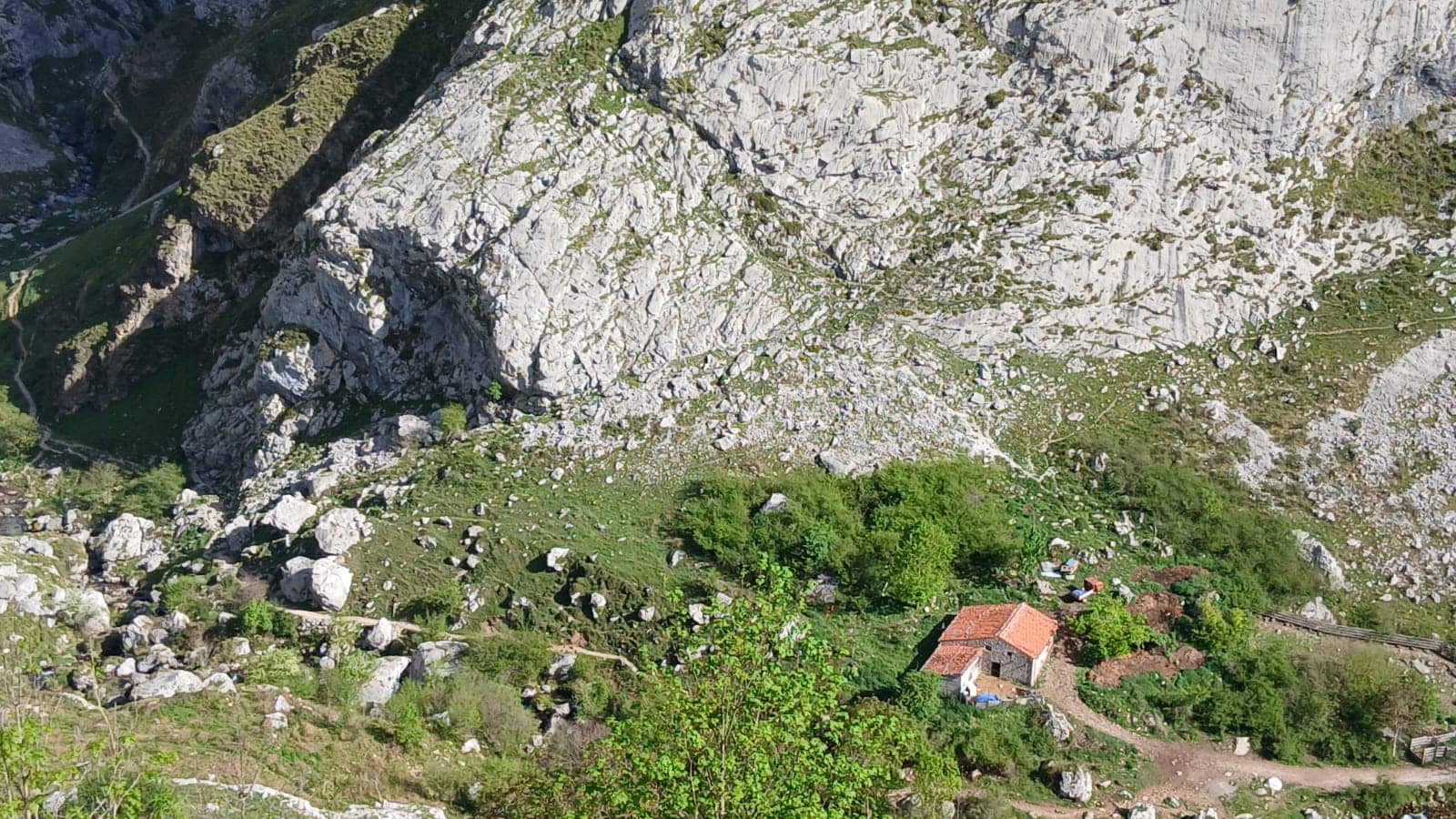
Bulnes - de Arriba - El Castillo
Asturias, Spain — 3.2 km
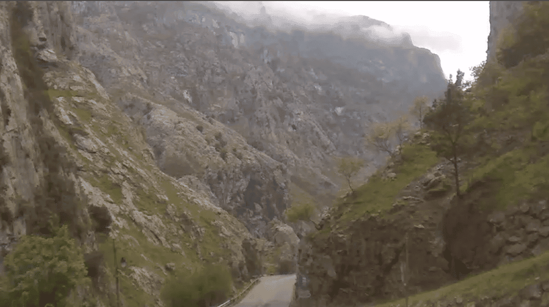
Poncebos - Ruta del Cares
🇪🇸 Asturias · Spain — Altitude 220 m
This live camera looks out over Poncebos, a small village in the Picos de Europa where the Cares Gorge trail begins. It is useful for seeing the current conditions in the valley before you set off on the walk. The page also shows local weather and time, so you can plan the day from one place.
Poncebos sits in the Cares valley within the Picos de Europa National Park, in the Principality of Asturias in northern Spain. The area is known for steep limestone walls, fast mountain streams and forested slopes that change sharply with altitude. Most visitors come to walk the Ruta del Cares, a long path cut into the gorge wall above the river. The village is a base for hikers, climbers and people heading toward the high mountain villages.
The camera's view depends on the angle and the weather, so you may see the valley road, the river, or the lower slopes of the gorge. Clouds often gather over the peaks in the afternoon, and rain can come quickly in this mountain climate, so the live feed is useful for checking whether the view is clear. Early morning tends to be the calmest time, with fewer people on the path and softer light on the rock faces.
The Picos de Europa are cool and wet for much of the year, with the most stable walking weather usually in late spring, early summer and September. Winter snow can close higher routes. Bulnes, Sotres and Camaleño are the nearby cameras in the mountains and are worth checking too, since their conditions can differ a lot from the valley floor.
Source: hispacams.com
Asturias, Spain — 3.2 km

Asturias, Spain — 7.3 km
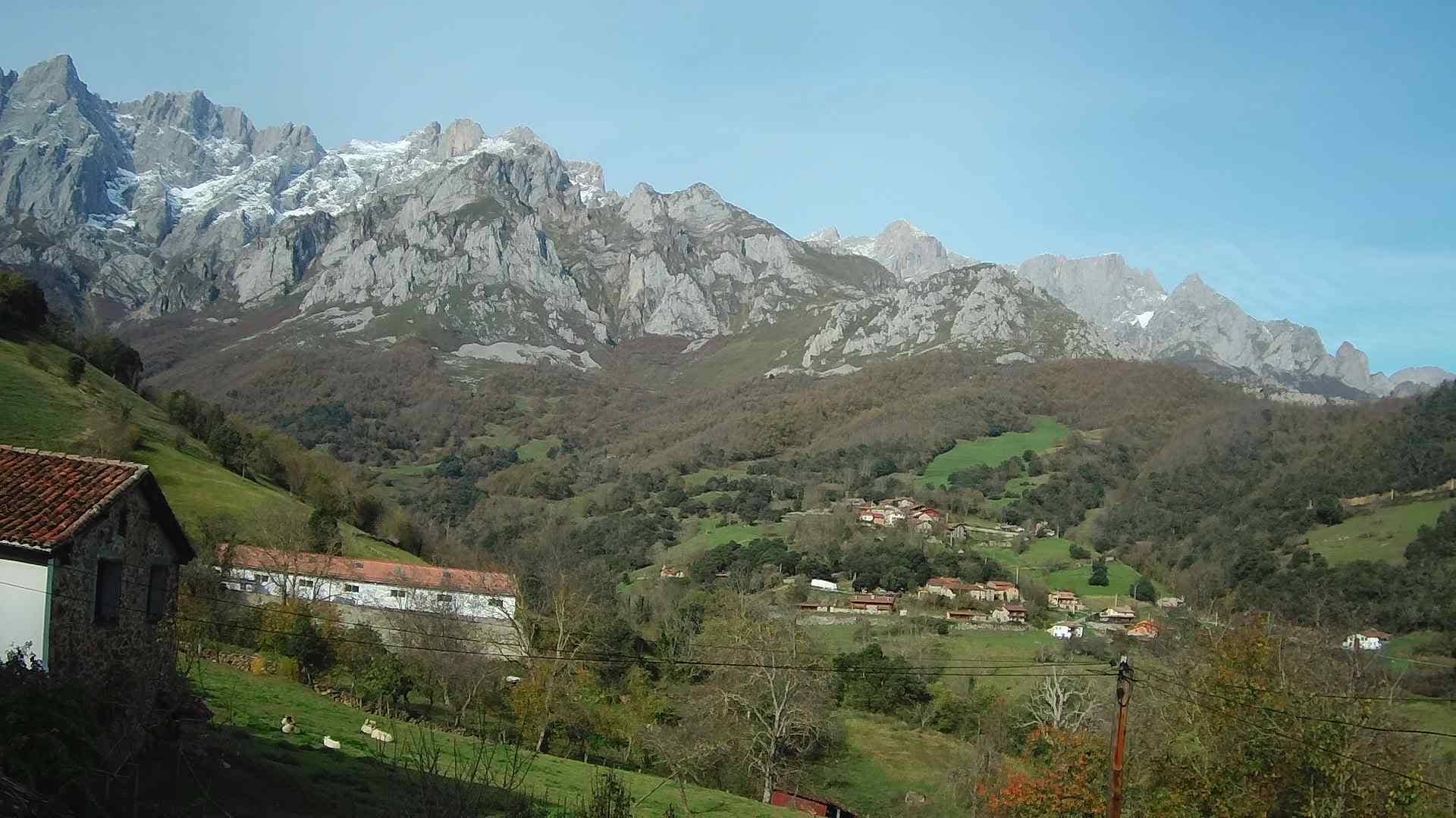
Cantabria, Spain — 17 km
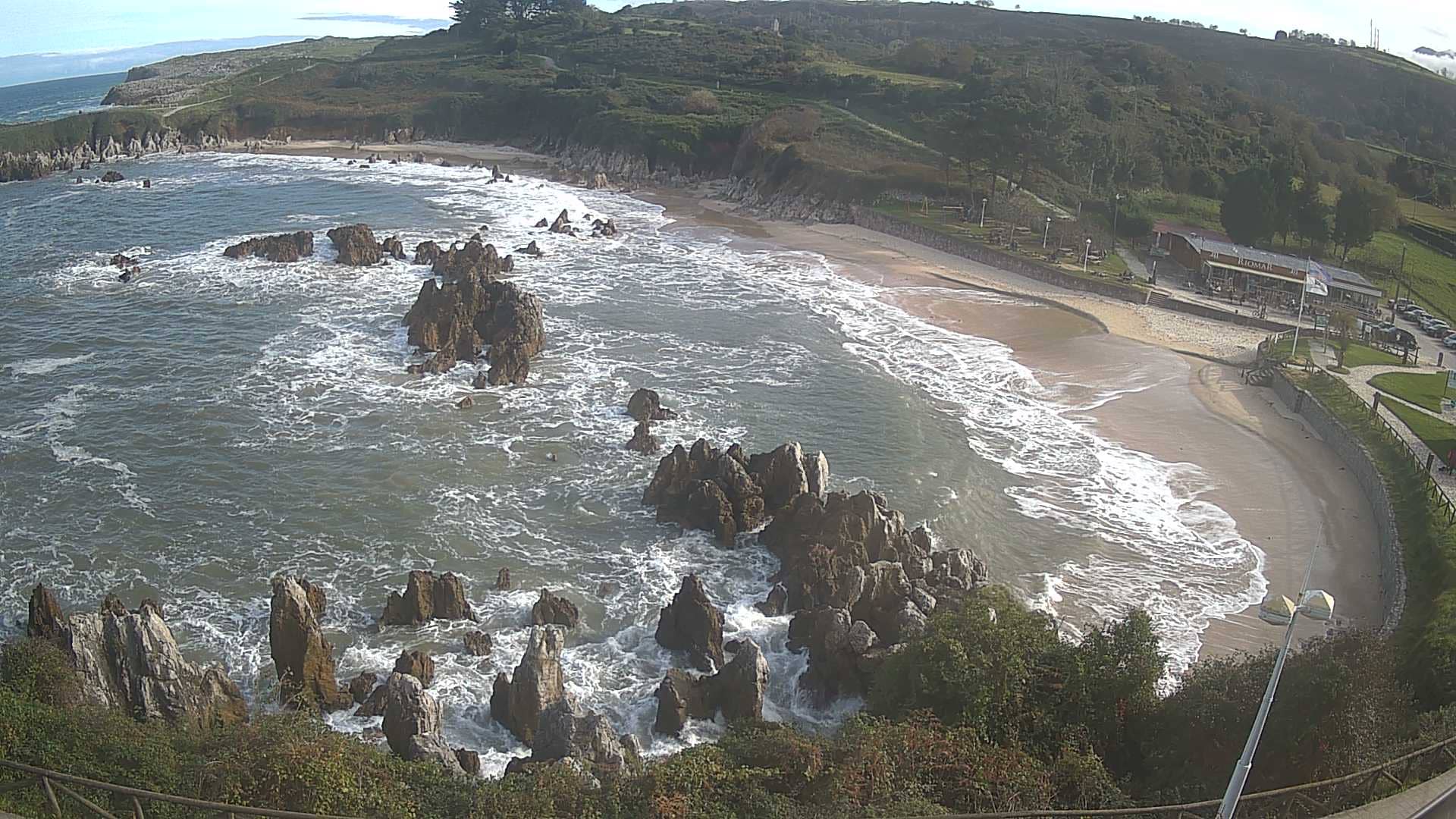
Asturias, Spain — 18 km
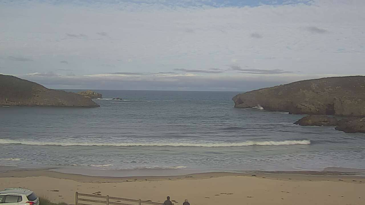
Asturias, Spain — 19 km
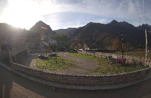
Castile and León, Spain — 22 km
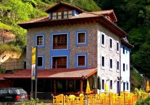
Asturias, Spain — 22 km
Asturias, Spain — 29 km

Asturias, Spain — 29 km
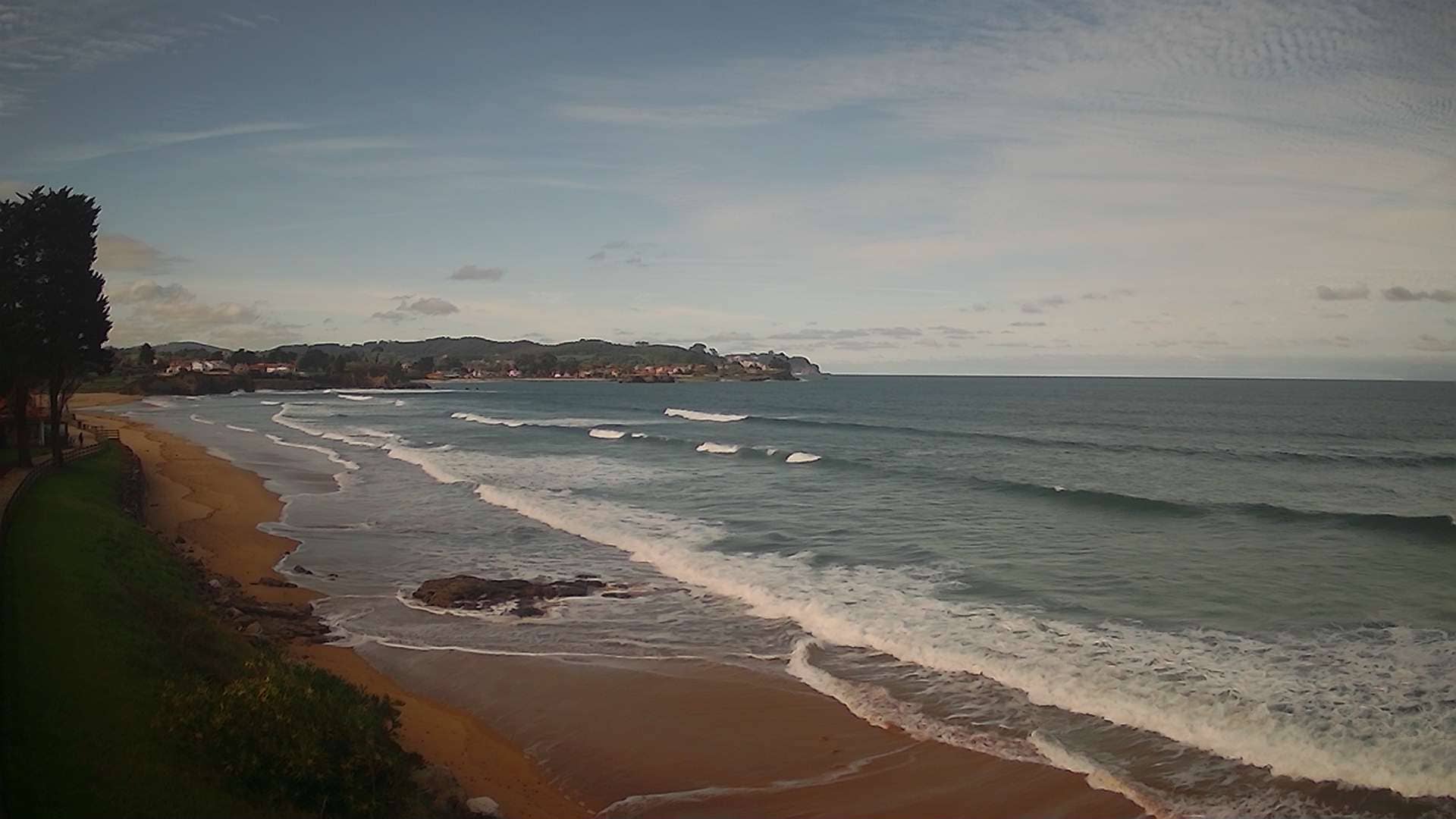
Asturias, Spain — 39 km
The current weather and a three-day forecast for Poncebos are shown in the live block on this page. Mountain weather can change within hours, so check it again shortly before you start walking.
The local time in Poncebos is displayed on this page and follows Spanish time. Use it to judge daylight and plan your hike around sunrise and sunset.
The camera is in the village of Poncebos in the Cares valley, Asturias, at the start of the Ruta del Cares. The map on this page shows its precise location relative to the surrounding peaks and roads.
Morning is often the clearest, especially in summer, when clouds build over the peaks later in the day. Checking the feed just before you leave will help you judge whether the trail is worth doing that day.
Partner links: we may earn a commission at no extra cost to you.