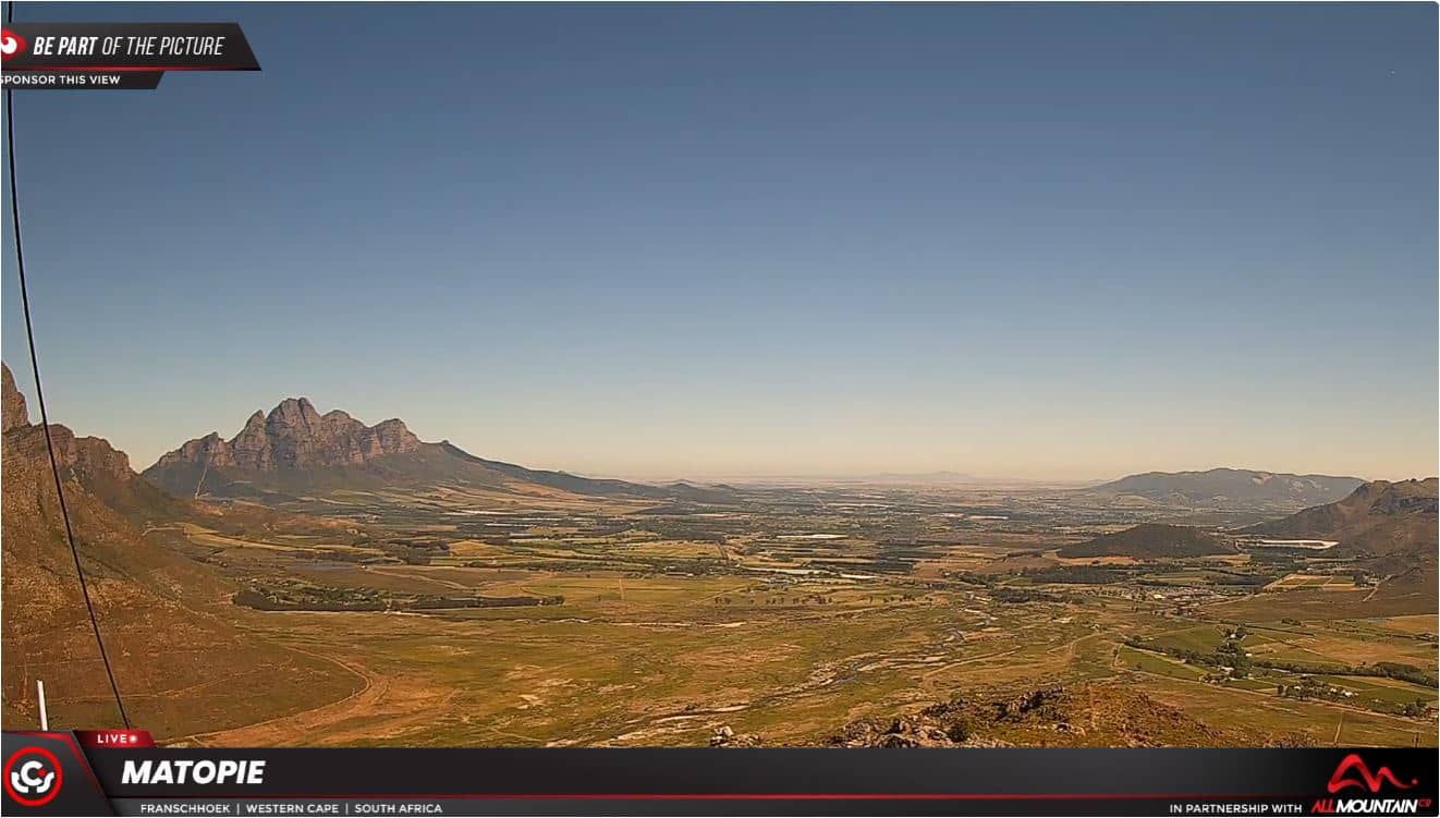
Franschhoek - Vallée de Franschhoek, Matopi
Western Cape, South Africa — 53 km
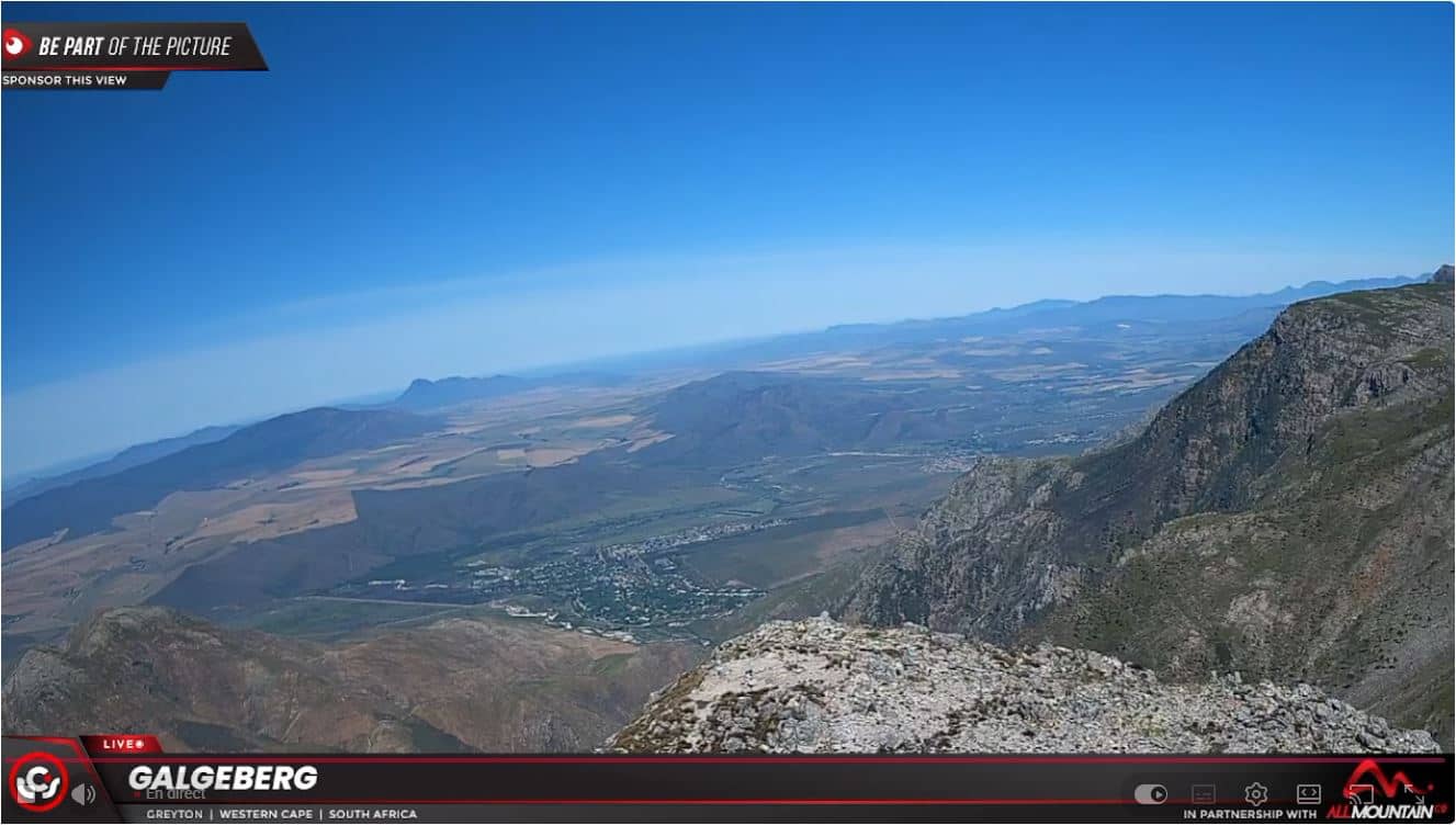
Greyton - Galgeberg, vue sur Greyton et les Riviersonderend
🇿🇦 Western Cape · South Africa — Altitude 220 m
This camera looks out from the Galgeberg hill over the small village of Greyton and the surrounding valley. It is a useful way to get a sense of the village's relaxed, rural setting before planning a visit or simply to watch the light change over the mountains.
Greyton is a small village in the Western Cape, set in the Overberg region at roughly 220 metres above sea level. It is known for its quiet, tree-lined streets, historic cottages and a slower pace than the larger towns nearby. The surrounding landscape is shaped by fynbos-covered slopes and the Riviersonderend mountain range, which gives the valley a strong sense of enclosure and open sky at the same time.
The view is taken from elevation, so it gives an overview of the village and its surroundings rather than close detail. Conditions are most interesting in the early morning and late afternoon, when low sun brings out the texture of the mountains. Cloud and mist sometimes gather in the valley, which can change the view considerably from one hour to the next. The stream is a live feed, so what you see depends on the weather at that moment.
The Overberg has a Mediterranean-type climate, with mild, wetter winters and warm, drier summers, so spring and autumn are often the most comfortable seasons for walking. Greyton is reached by road from the Cape Town area, and the drive passes through wine country. Nearby cameras on VizCams include Franschhoek and Stellenbosch, both in the same region, which are useful for comparing conditions across the Cape winelands.
Source: TCS Live Online
Western Cape, South Africa — 53 km
Western Cape, South Africa — 69 km
Western Cape, South Africa — 74 km

Western Cape, South Africa — 76 km
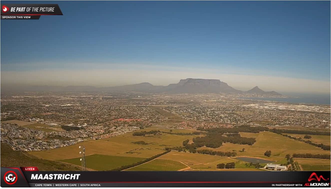
Western Cape, South Africa — 97 km
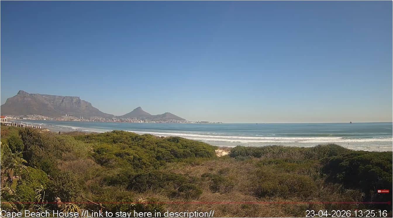
Western Cape, South Africa — 104 km
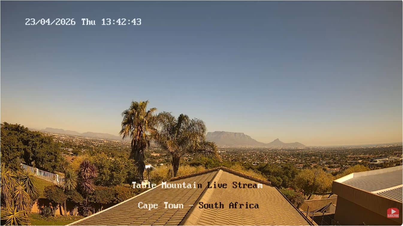
Western Cape, South Africa — 105 km
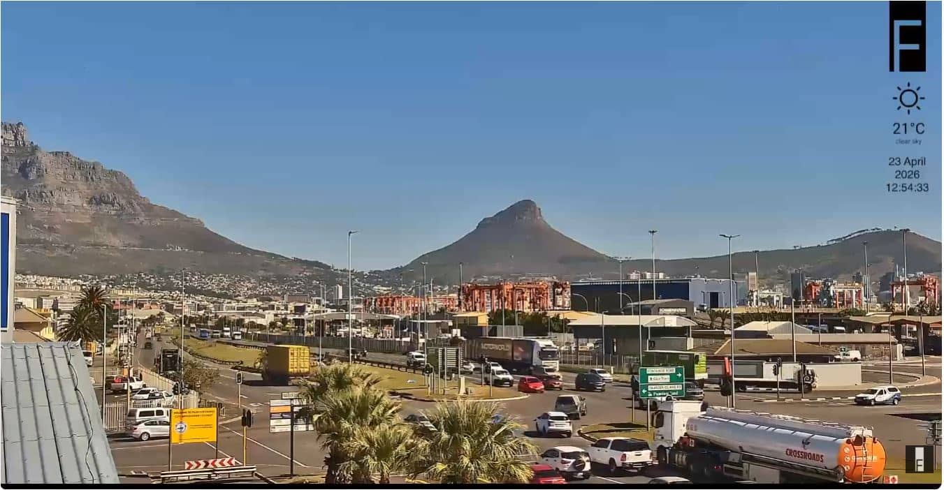
Western Cape, South Africa — 106 km
Western Cape, South Africa — 111 km
Western Cape, South Africa — 111 km
The current weather and a three-day forecast for Greyton are shown in the live block on this page and update with the page. Check it before you go, as conditions in the mountains can differ from those in town.
The local time for Greyton is shown on this page and follows South African time. The live clock updates automatically, so you can check it before watching the stream.
The camera is positioned on the Galgeberg hill above Greyton in the Western Cape of South Africa. The map on this page shows its location relative to the village and the surrounding valley.
Early morning and late afternoon usually give the clearest light on the mountains and village. Mist can settle in the valley at certain times of year, so the view may vary from one visit to the next.
Partner links: we may earn a commission at no extra cost to you.