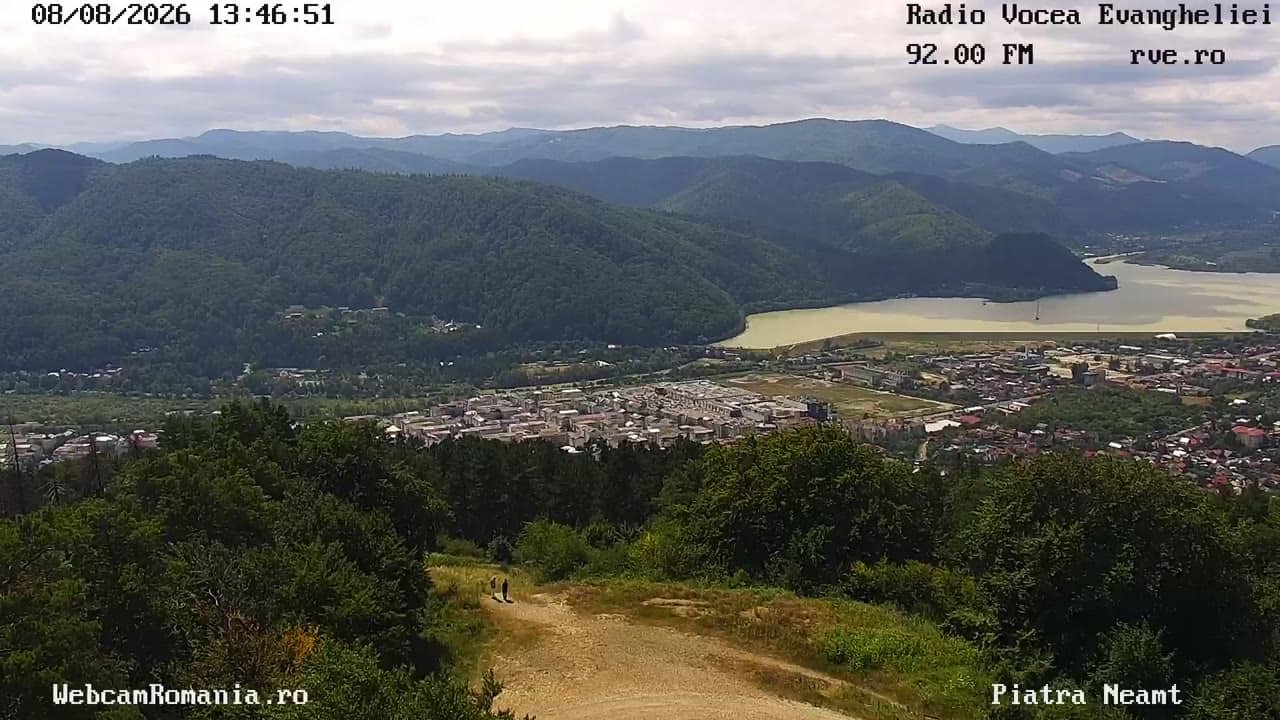
Piatra Neamţ - Vue – Panorama Piatra Neamt
Neamț County, Romania — 0 km
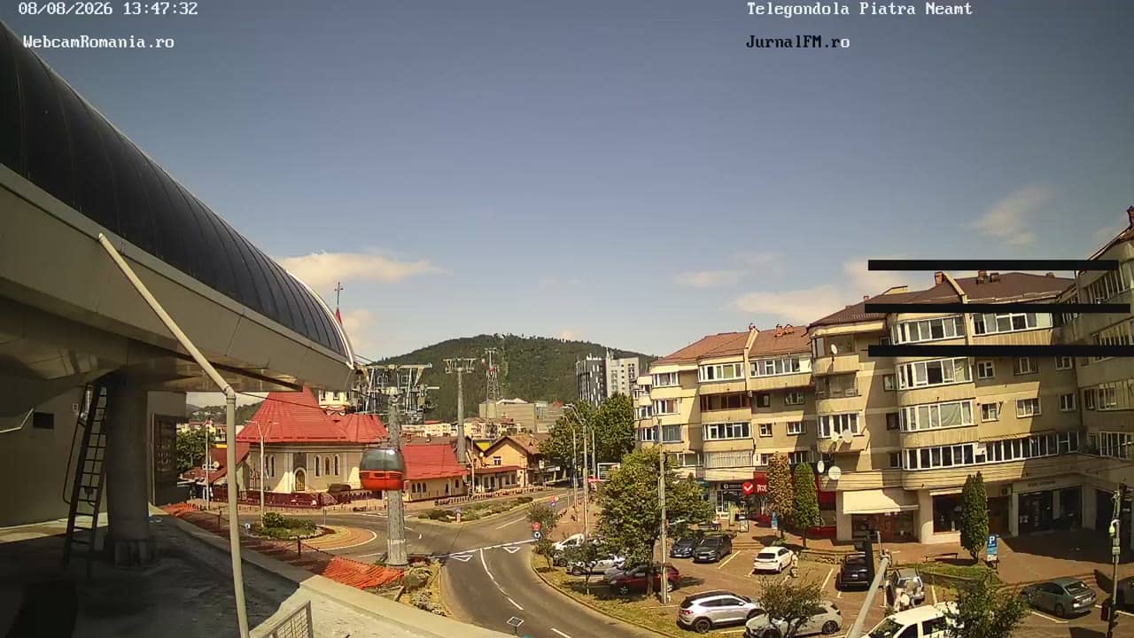
Piatra Neamţ - Vue – Telegondola Piatra Neamt
🇷🇴 Neamț County · Romania — Altitude 508 m
This live camera looks out from the cable car area above Piatra Neamţ, a town in the hills of Neamț County in north-eastern Romania. It is useful for a quick check of the town and the weather before you travel. The page also shows local time and a short forecast.
Piatra Neamţ sits in a valley of the Carpathian foothills, where the Bistrița river runs through the town. It is the main urban centre of the Neamț area and a base for visits to monasteries, forests and mountain villages. The surrounding hills give the town a green setting that changes noticeably with the seasons.
The title refers to a view from the cable car, so the picture most likely covers the town and the slopes around it. Depending on the view, you may see rooftops, the river valley and the wooded hills. Clear mornings and late afternoons usually give the sharpest outlook, while low cloud or haze can hide the far ridges.
Spring and early autumn are the most comfortable seasons, with mild days and cooler nights. Summers can be warm, and winters are cold with snow in the hills. Nearby cameras on this page cover other views of the town and the Zăneşti airfield, about 20 km away, so you can compare conditions across the area.
Source: webcamromania.ro
Neamț County, Romania — 0 km

Neamț County, Romania — 0 km
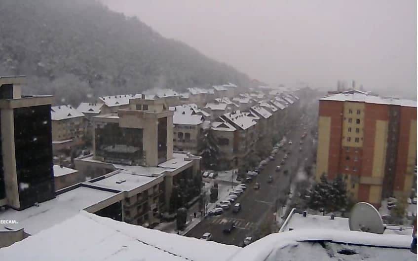
Neamț County, Romania — 2.1 km
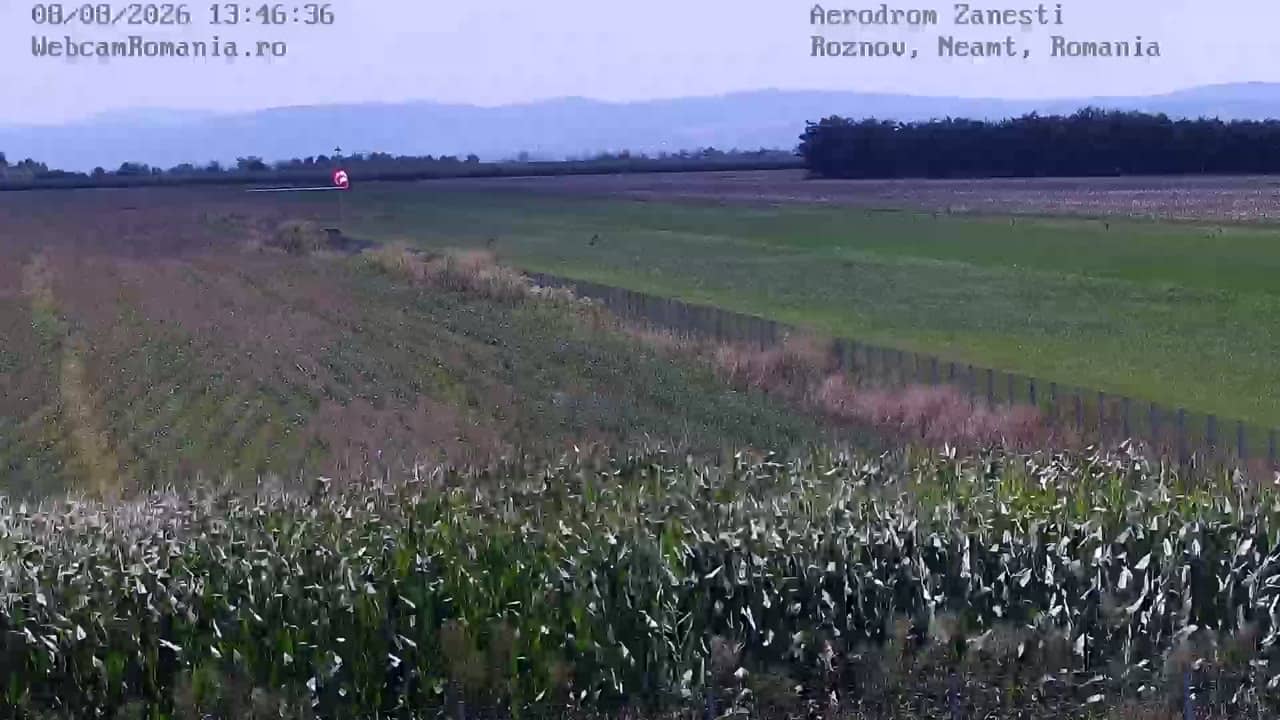
Neamț County, Romania — 20 km

Neamț County, Romania — 28 km

Neamț County, Romania — 28 km
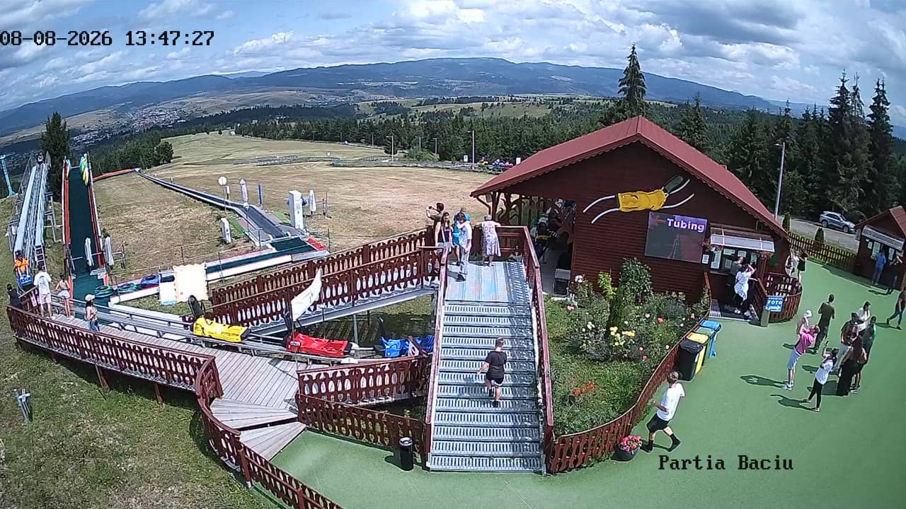
Neamț County, Romania — 28 km
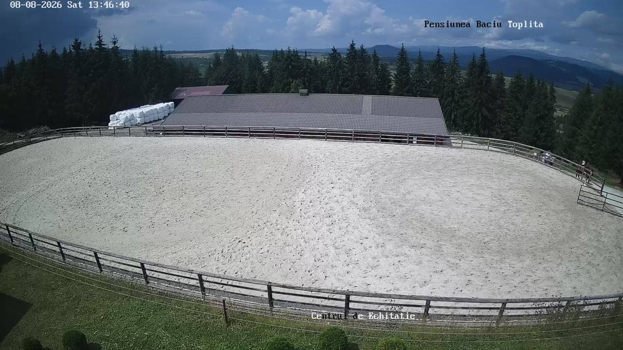
Neamț County, Romania — 28 km
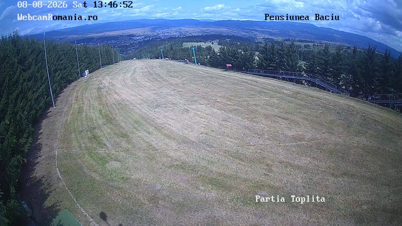
Neamț County, Romania — 28 km
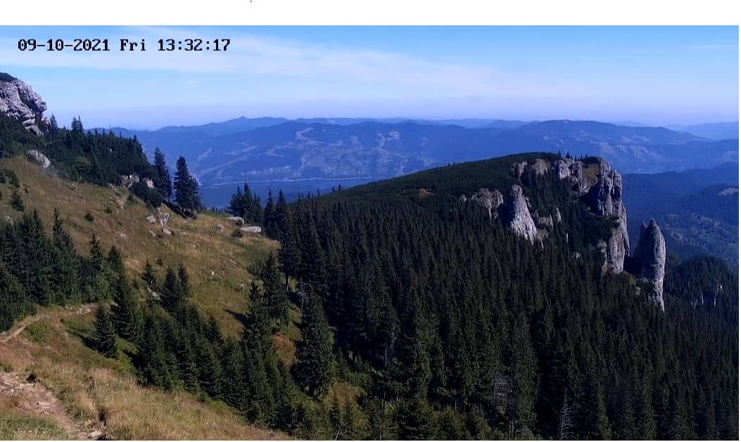
Neamț County, Romania — 30 km
The current weather and a 3-day forecast are shown in the live block on this page. They update with the camera and show temperature and conditions for the town.
The local time for Piatra Neamţ is displayed on this page. It follows Romania's local time zone, so you can compare it with your own time before watching.
The camera is in Piatra Neamţ in Neamț County, Romania, at about 508 metres above sea level. A map on this page marks its location.
Daylight hours give the clearest picture, and clear weather helps the most. Morning and late afternoon light often make the hills and town easiest to see.
Partner links: we may earn a commission at no extra cost to you.