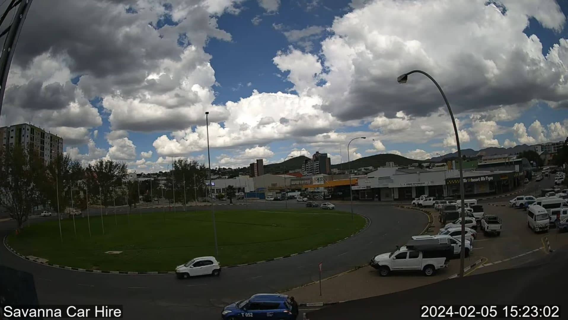
Windhoek
Erongo, Namibia — 205 km
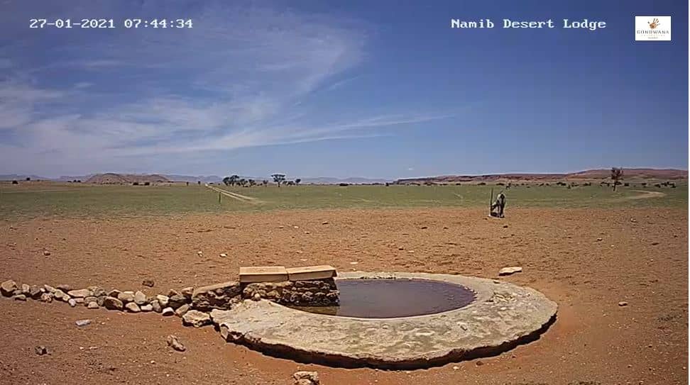
🇳🇦 Hardap Region · Namibia — Altitude 978 m
This live stream is set in Hardap, a sparsely populated region in southern Namibia. It gives a continuous view of the area, so you can judge the sky, light and conditions before planning a trip or simply keeping an eye on the Namibian weather.
Hardap Region lies in the south of Namibia, where the Kalahari fringes meet open plains and rocky hills. The landscape is dry and wide, with long horizons and few settlements. Hardap Dam, a large reservoir on the Fish River system, is one of the region's best-known features and draws visitors who want to see water in an otherwise arid setting. The area is quiet and rural, shaped by farming and the slow rhythm of the desert edge.
The camera is most useful for reading the sky. Depending on the view, you may see clear blue days, dust moving across the plains, or the warm tones of late afternoon. Early morning often brings cool, calm air and soft light, while the midday sun can be harsh. Changes in cloud cover are easy to follow over a wide landscape, so the stream works well for seeing how a day is developing.
Namibia is one of the driest countries in Africa, and Hardap follows that pattern with hot days and cool nights. The rainy season is usually short, and the best months for travel are generally the cooler dry season from May to September. Hardap is reached by road, and distances are large, so plan fuel and water carefully. The nearby cameras in Windhoek and Swakopmund offer views of other parts of the country for comparison.
Source: Namibia Weather
Erongo, Namibia — 205 km
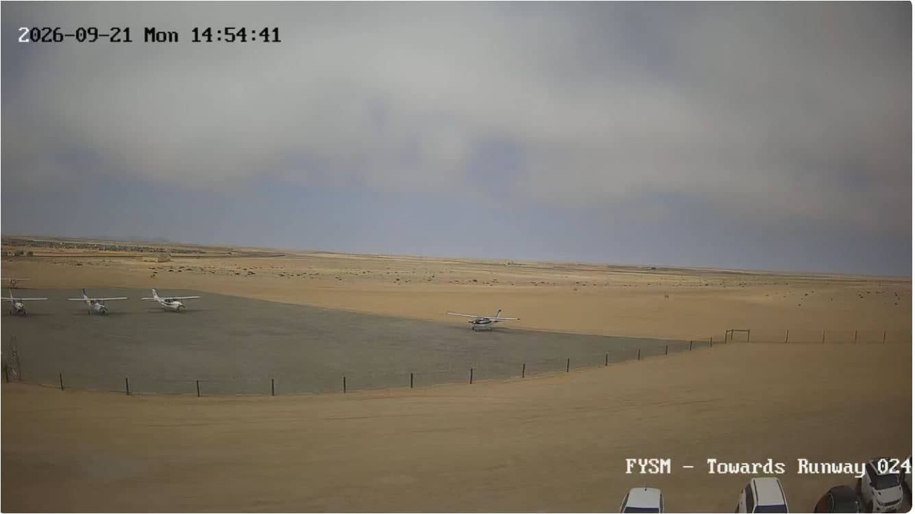
Erongo, Namibia — 212 km
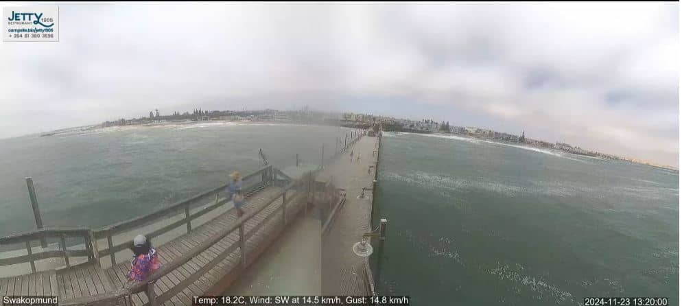
Erongo, Namibia — 213 km
Western Cape, South Africa — 1018 km
North West, South Africa — 1045 km
Western Cape, South Africa — 1108 km
Western Cape, South Africa — 1112 km
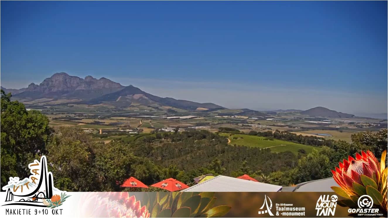
Western Cape, South Africa — 1113 km
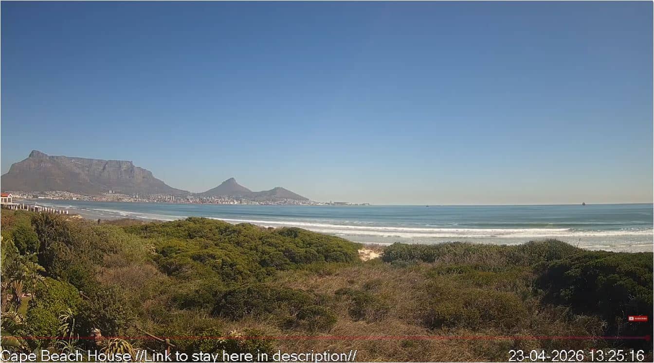
Western Cape, South Africa — 1113 km
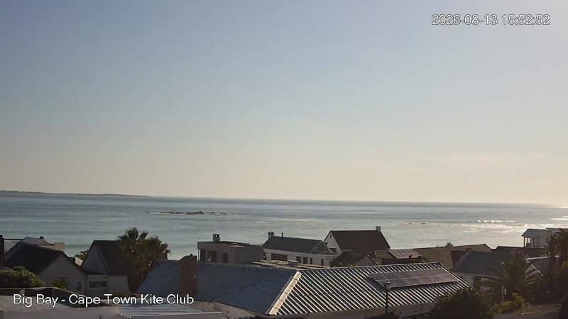
Western Cape, South Africa — 1118 km
The current conditions and a 3-day forecast are shown in the weather block on this page, updated for Hardap. Check it before watching the stream to understand the temperature and sky.
The local time for Hardap is displayed on this page and updates automatically. Namibia does not change its clocks for daylight saving time.
The camera is in Hardap Region in southern Namibia, at roughly 24 degrees south and 16 degrees east, at about 978 metres above sea level. The map on this page shows its position.
Early morning and late afternoon usually offer the softest light and the clearest contrast across the landscape. Midday is often hazy or harsh, depending on the season and dust.
Partner links: we may earn a commission at no extra cost to you.