
Loreto - Golf TPC Danzante Bay
Baja California Sur, Mexico — 0.9 km

Loreto - Villa del Palmar - Baie de Danzante
🇲🇽 Baja California Sur · Mexico — Altitude 10 m
This camera looks out from the Villa del Palmar across Danzante Bay near Loreto on Mexico's Baja California peninsula. It is a useful window onto the Gulf of California coast, where sea and sky conditions change quickly through the day. Check it before planning a trip out on the water or a beach visit.
Loreto is one of the oldest settlements on the Baja California peninsula, founded by Spanish missionaries in the late seventeenth century. It sits on the Gulf of California side, where the sea is calmer than on the Pacific coast and the mountains of the Sierra de la Giganta rise close behind the town. Danzante Bay lies just offshore among the islands of the Loreto Marine National Park, which is known for clear water and rich marine life.
The view is of the bay itself, so the most useful things to follow are the state of the water, wind over the surface and the light on the islands. Mornings often bring the calmest conditions, while afternoon breezes can roughen the sea. Sunrise and late afternoon are good times to watch, when the colours on the water and the surrounding hills are at their strongest. Conditions depend on the weather of the day.
Loreto has a dry desert climate with warm to hot summers and mild, sunny winters, which makes the cooler months popular with visitors. Winter and spring are generally the most comfortable seasons for boating and snorkelling. The town is small and easy to explore on foot or by taxi. A golf course overlooking Danzante Bay and a second viewpoint from the same villa are both close by and listed on this page.
Baja California Sur, Mexico — 0.9 km
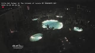
Baja California Sur, Mexico — 1.6 km
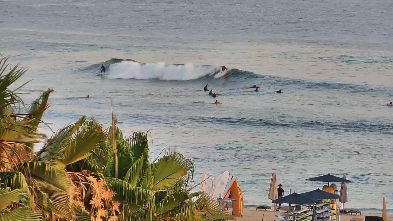
Baja California Sur, Mexico — 288 km
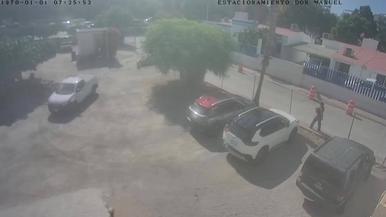
Baja California Sur, Mexico — 335 km

Baja California Sur, Mexico — 340 km

Baja California Sur, Mexico — 340 km
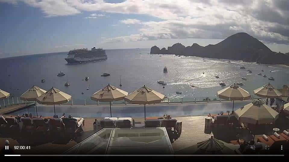
Baja California, Mexico — 344 km
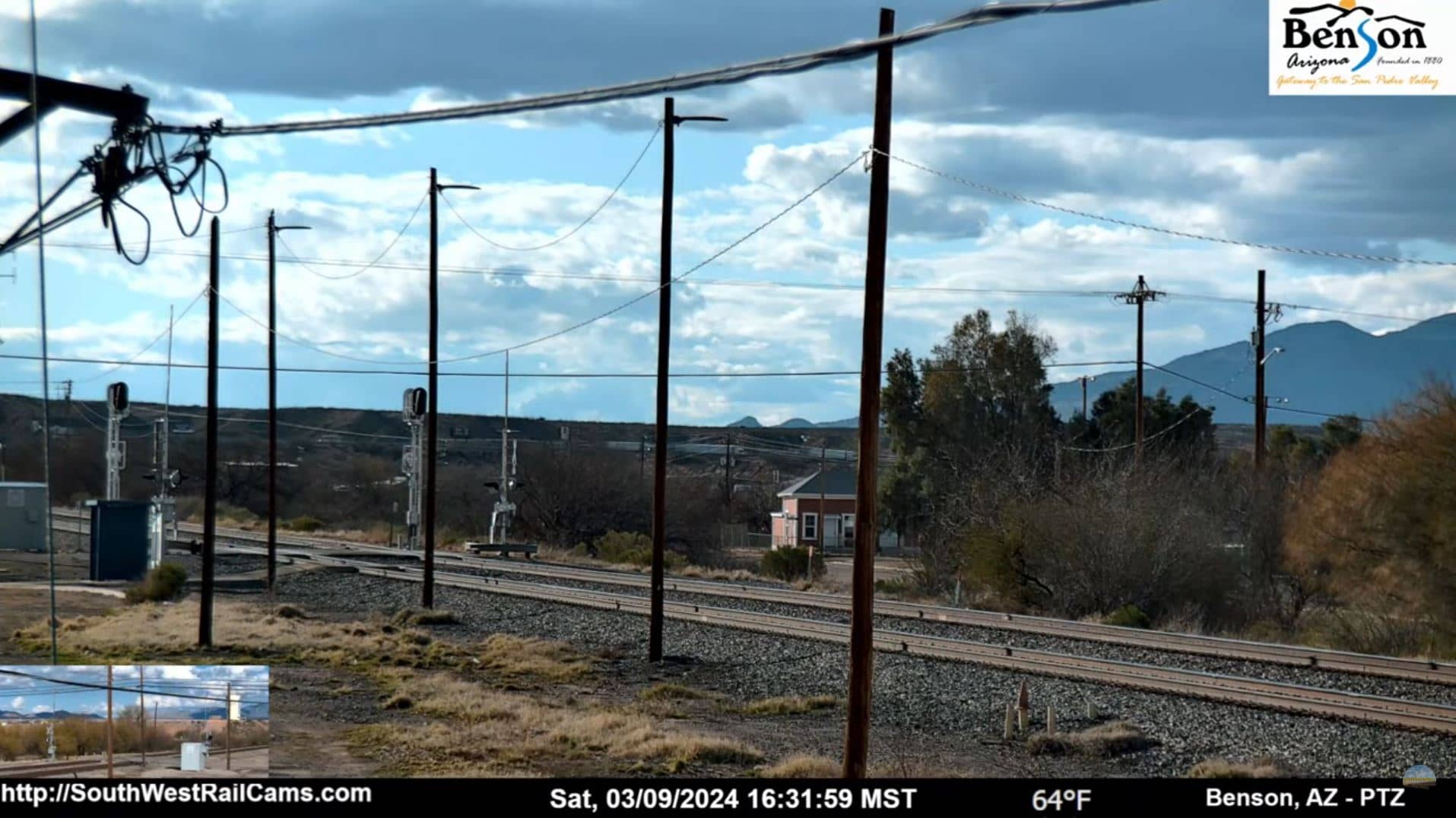
Arizona, United States — 693 km
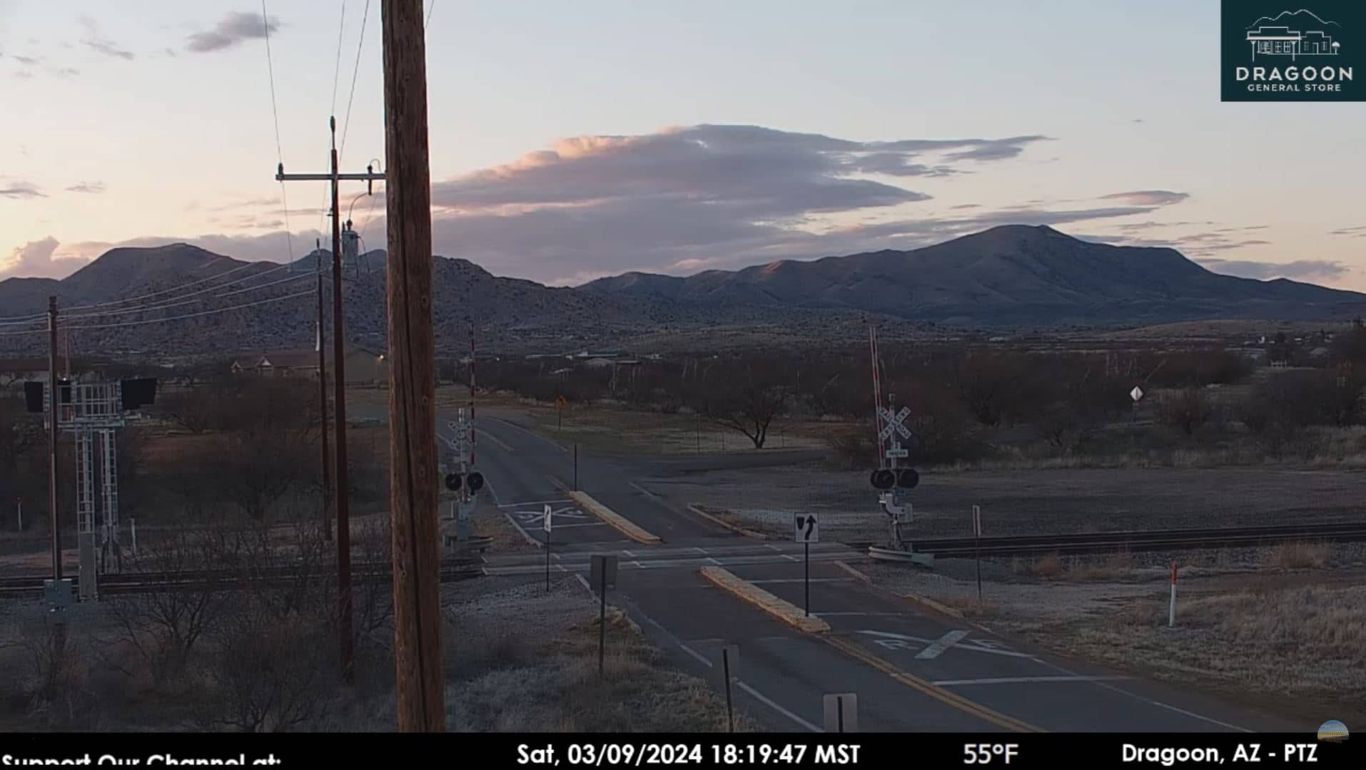
Arizona, United States — 711 km
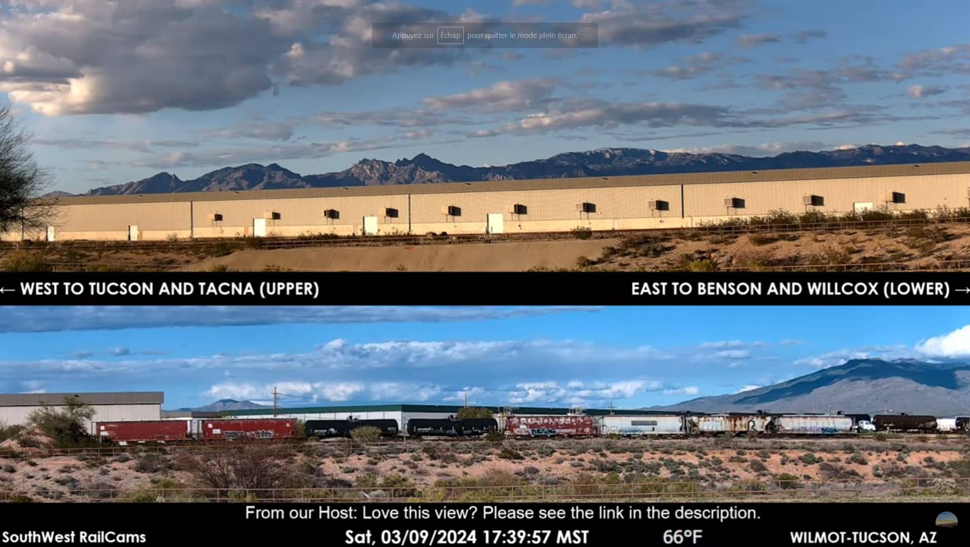
Arizona, United States — 712 km
The current conditions and a three-day forecast for Loreto are shown in the live weather block on this page. They update automatically, so you can check the latest reading before you plan your day on the water.
The local time for Loreto is shown on this page and updates live. Loreto keeps local time in Mexico's Pacific time zone, so use the displayed clock rather than your own when planning a call or a trip.
The camera is mounted at the Villa del Palmar in Loreto, Baja California Sur, overlooking Danzante Bay. The map on this page marks its position so you can see how it relates to the town and the nearby islands.
Early morning and late afternoon are generally the most pleasant times to watch, when light is soft and winds are often lighter. Conditions vary from day to day, so the live view shows what is happening at any given moment.
Partner links: we may earn a commission at no extra cost to you.