
Tunnel de Too-Ashuu - Entrée Nord - Entrée nord - Route Bichkek-Osh
Chüy Region, Kyrgyzstan — 4.1 km
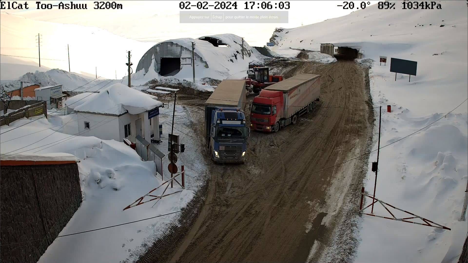
Too Ashuu
🇰🇬 Chüy Region · Kyrgyzstan — Altitude 3201 m
This live stream looks out over Too Ashuu, a high mountain pass in Kyrgyzstan's Chüy Region at roughly 3,200 metres. It is useful for anyone wanting to see what conditions look like on this road-linked crossing before travelling, or simply following high-altitude mountain weather in real time.
Too Ashuu sits on the mountain road that links the Chüy valley with the south of the country, crossing the Kyrgyz Range of the Tien Shan. Its landscape is typical of the region: steep slopes, rocky ridges, alpine meadows in summer and deep snow in winter. The altitude means that weather can change quickly, with fog, wind and snowfall arriving even when the valleys below are clear.
The camera is aimed at a mountain setting, so the view is most informative when you want to judge road and sky conditions. Depending on the view, you may see cloud cover moving over the ridges, snow on the slopes, or the state of the surface. Mornings often bring clearer air, while afternoons in warmer months can bring cloud build-up over the peaks.
Summers are short and cool at this altitude, and autumn is generally the most reliable season for crossing. Winter brings heavy snow and frequent closures, so check conditions before any trip. Nearby cameras on this site cover Suusamyr, about 23 km away, Bishkek, around 87 km away, and Osh, around 222 km away, which help you compare conditions across the region.
Passes like this one are a reminder of how varied Kyrgyzstan's terrain is. Visitors should allow extra time, carry warm layers and watch for thin air if they plan to continue on foot or by car at higher elevations.
Source: Elkat LLC
Chüy Region, Kyrgyzstan — 4.1 km
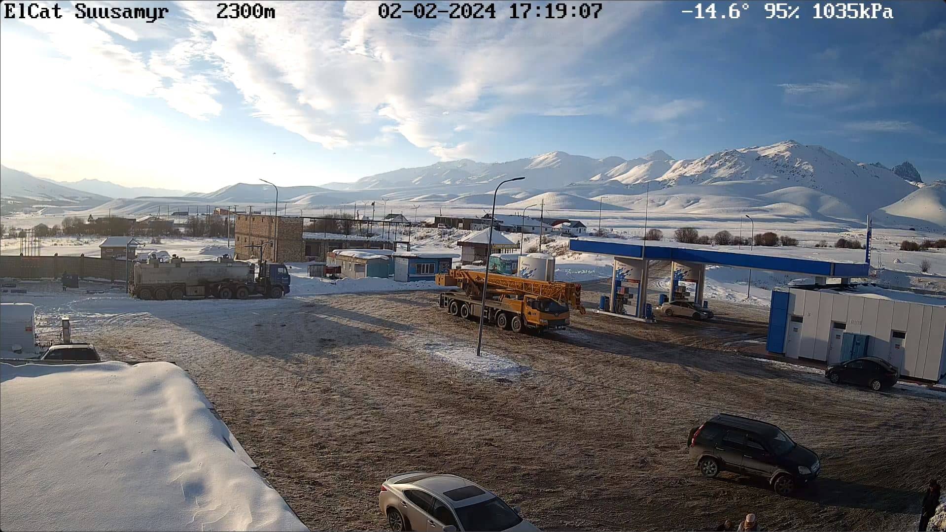
Chüy Region, Kyrgyzstan — 23 km
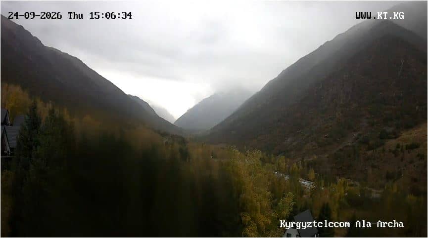
Chüy, Kyrgyzstan — 71 km
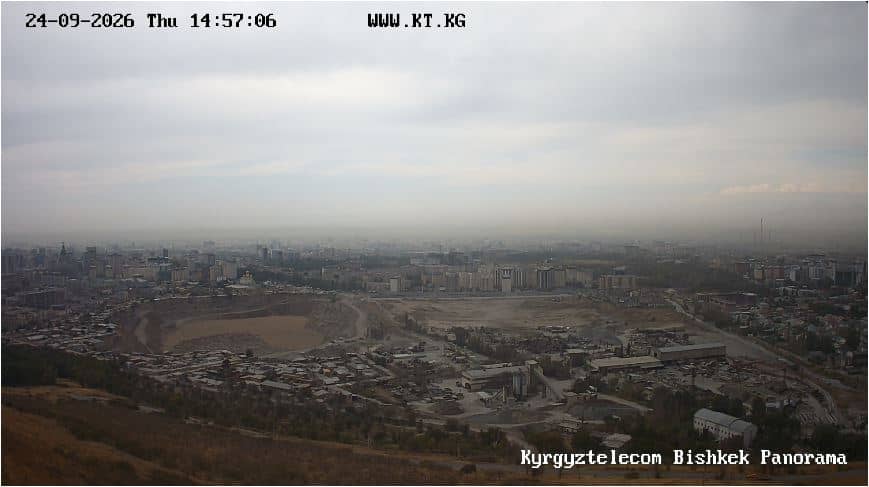
Bishkek, Kyrgyzstan — 81 km
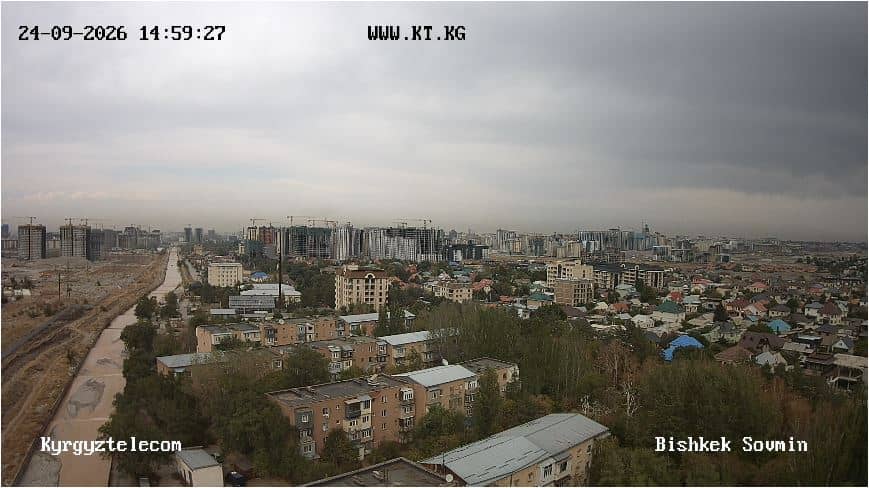
Bishkek, Kyrgyzstan — 86 km
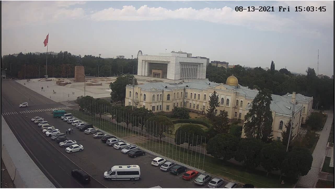
Bishkek, Kyrgyzstan — 87 km
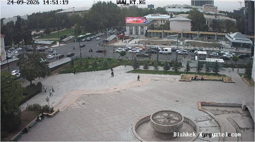
Bishkek, Kyrgyzstan — 87 km
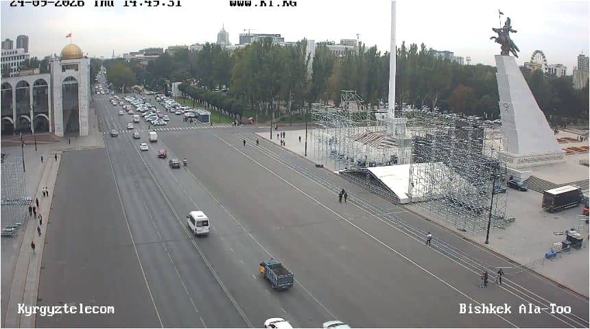
Bishkek, Kyrgyzstan — 87 km
Bishkek, Kyrgyzstan — 87 km
Talas, Kyrgyzstan — 130 km
The current conditions and a 3-day forecast for the pass are shown in the live weather block on this page. Because the site is at high altitude, values can change quickly.
The local time for the camera is displayed in the live time block on this page, using the time zone of Kyrgyzstan.
The camera is in Chüy Region, Kyrgyzstan, at about 42.36 N, 73.81 E and 3,201 m above sea level. The map on this page shows its exact position.
Mornings tend to offer clearer views, while autumn and late spring are good periods to see the pass in typical mountain conditions. Winter views may show snow cover and frequent cloud.
Partner links: we may earn a commission at no extra cost to you.