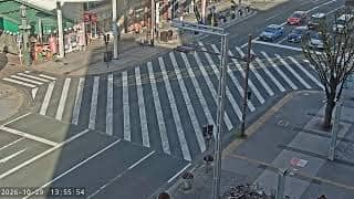
Yokote - 鍛冶町通りライブカメラ[ザザシティ浜松]PTZ(パン/チルト/ズーム)
Akita, Japan — 67 km
Funagata - cho Nagao Bridge
🇯🇵 Yamagata · Japan — Altitude 181 m
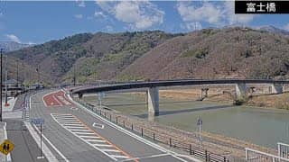
This camera looks out over the Nagao Bridge in Funagata, a small town in Yamagata Prefecture in northern Japan. It is useful for seeing how the river and town look right now, from one of the quieter corners of the Tohoku region.
Funagata sits in the Mogami River valley inland from the Sea of Japan, surrounded by mountains and rice fields. The town is known as a traditional stop in the Yamagata countryside, and its streets and riverside keep a slower pace than the big cities. The landscape changes sharply with the seasons, from green summers to deep snow in winter.
The view centres on the bridge and the water below it, so you can follow river levels, the light on the surface and passing traffic. Clear mornings and late afternoon tend to be the most pleasant to watch. In winter, snow on the banks and rails often changes the scene, and the camera is especially interesting after a fresh fall.
Winters in Funagata are cold and snowy, while summers are warm and humid, which suits a visit between late spring and early autumn. Nearby camera locations in Yokote, Nikaho, Ōshū and Murakami offer other views across the region. Access is usually by car or by rail to the wider Yamagata area, so check transport before travelling.
Local time and current conditions are shown above the player, along with a three-day forecast for the area.
Source: CamStreamer
Akita, Japan — 67 km
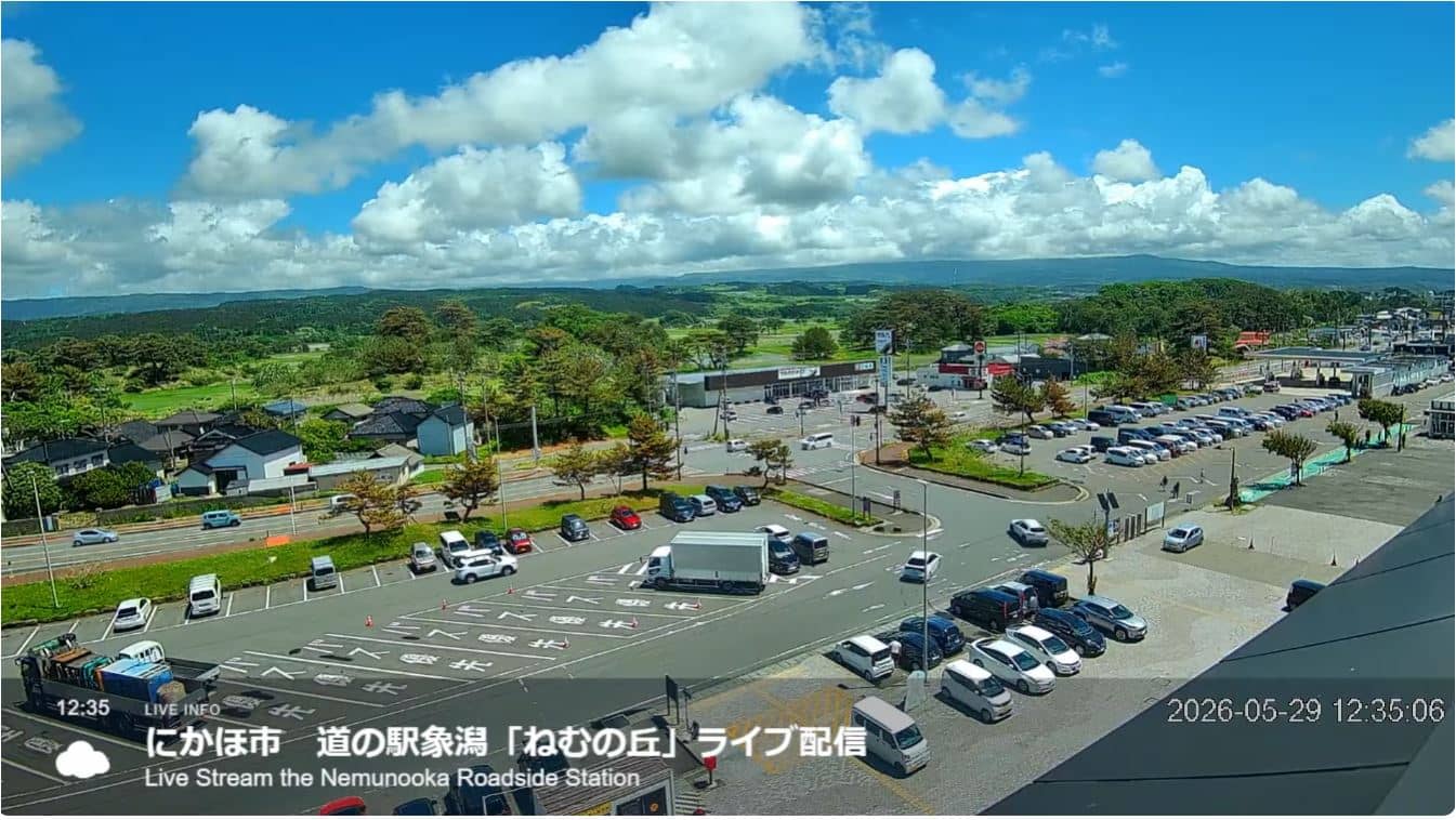
Yamagata, Japan — 69 km
Iwate, Japan — 81 km
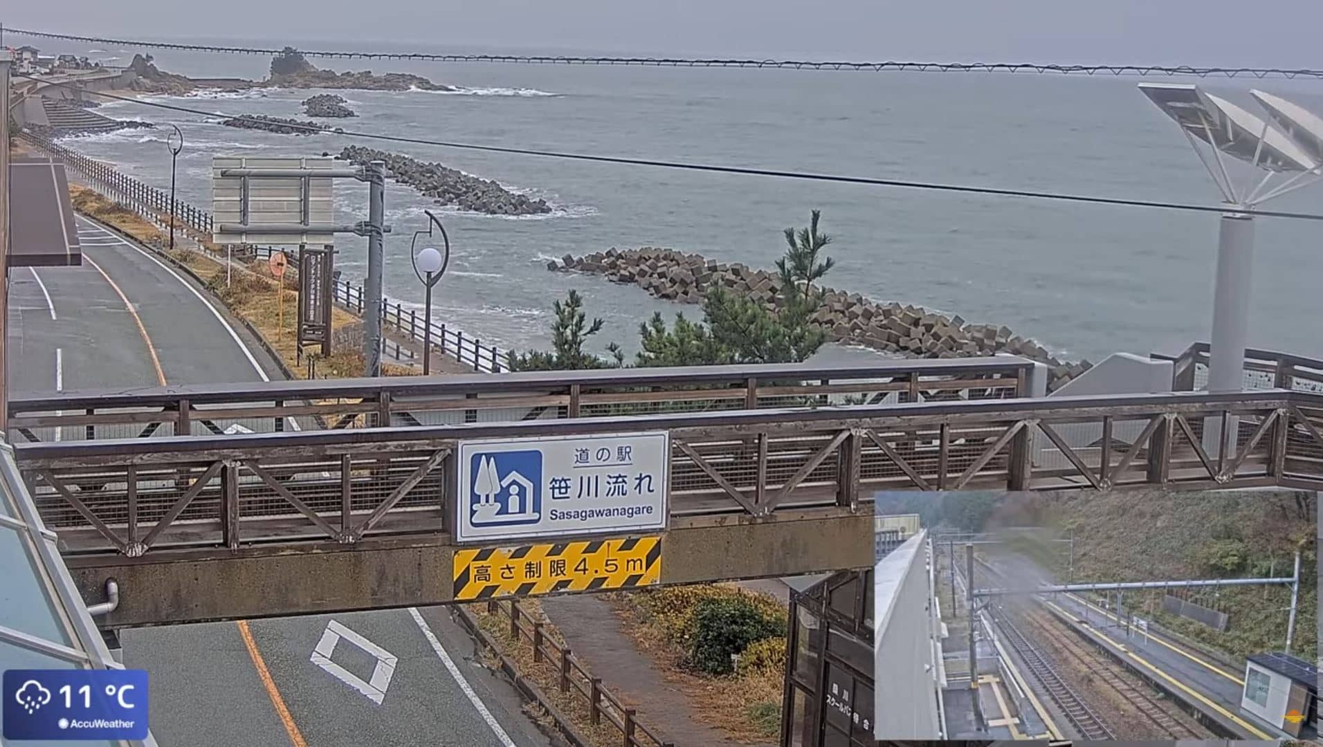
Niigata, Japan — 89 km
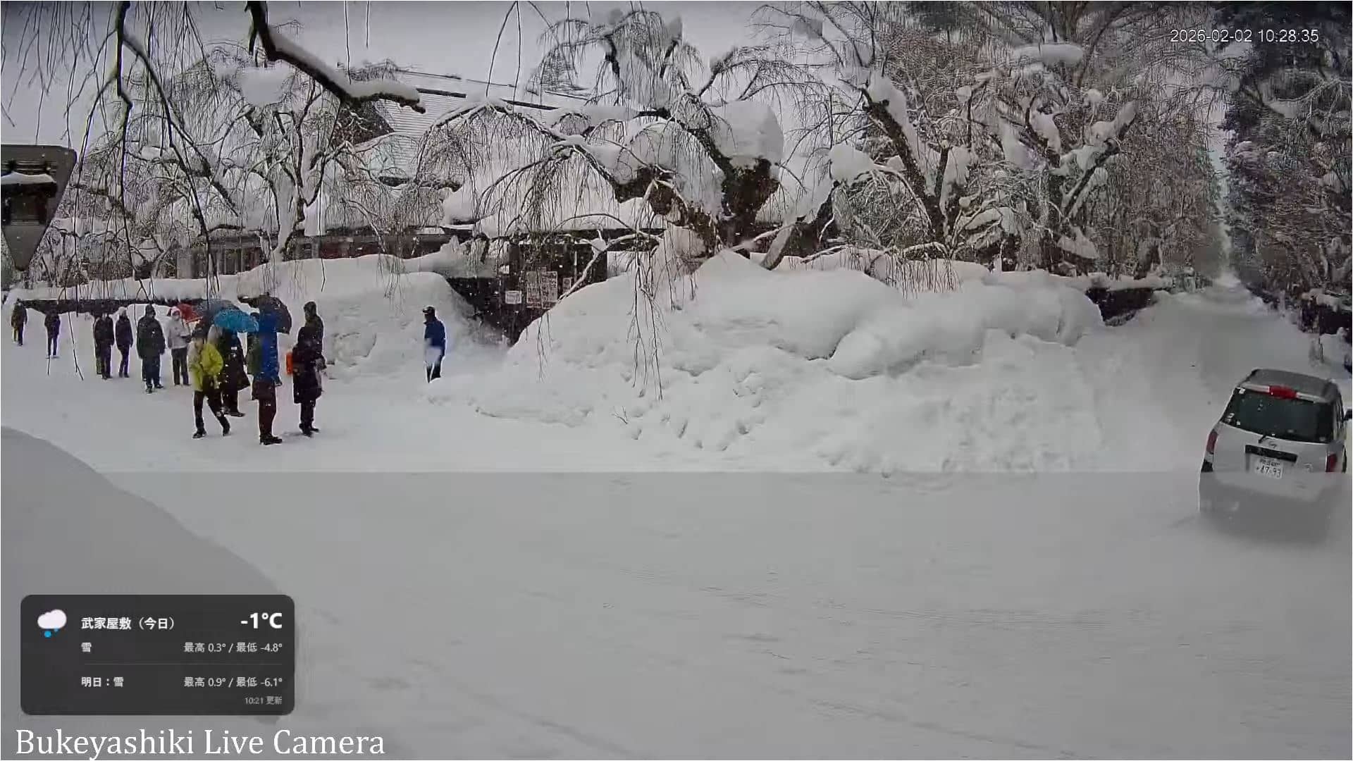
Akita, Japan — 98 km
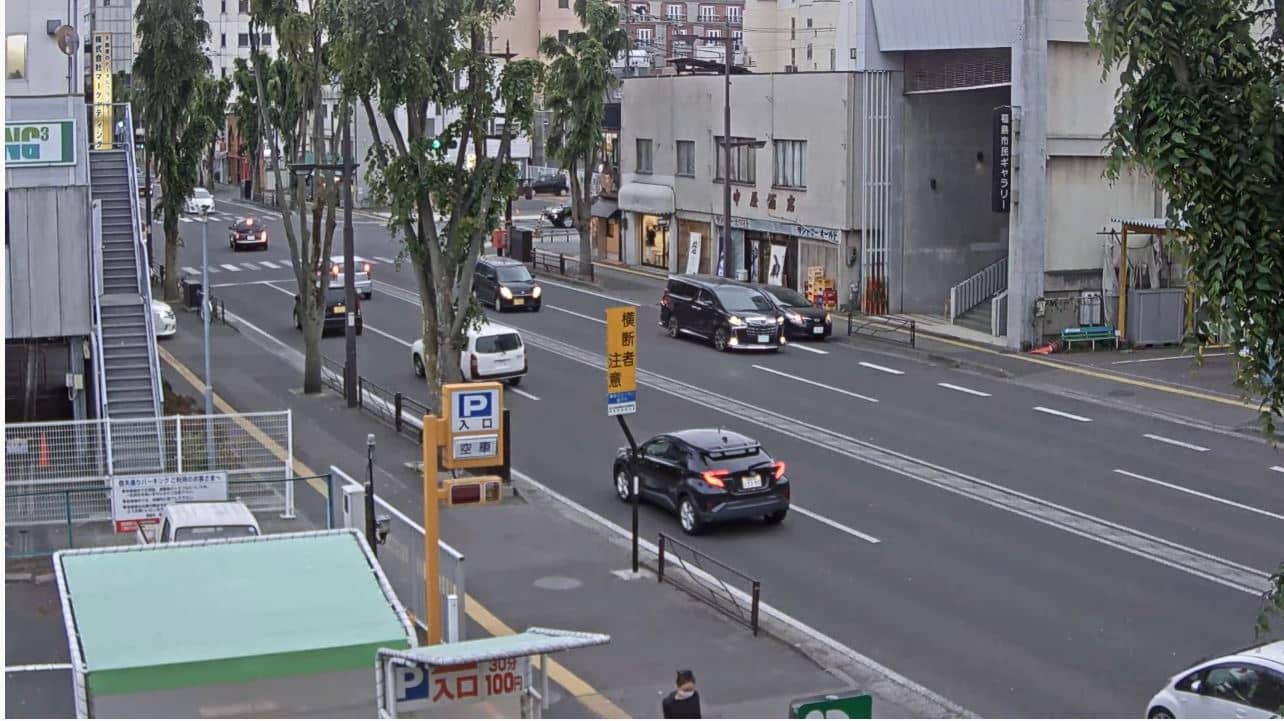
Fukushima, Japan — 108 km
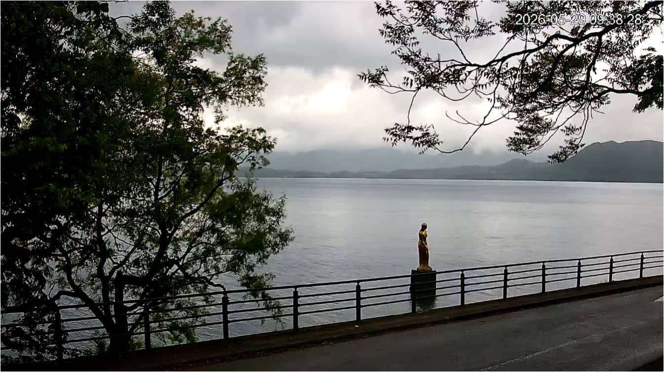
Akita, Japan — 112 km
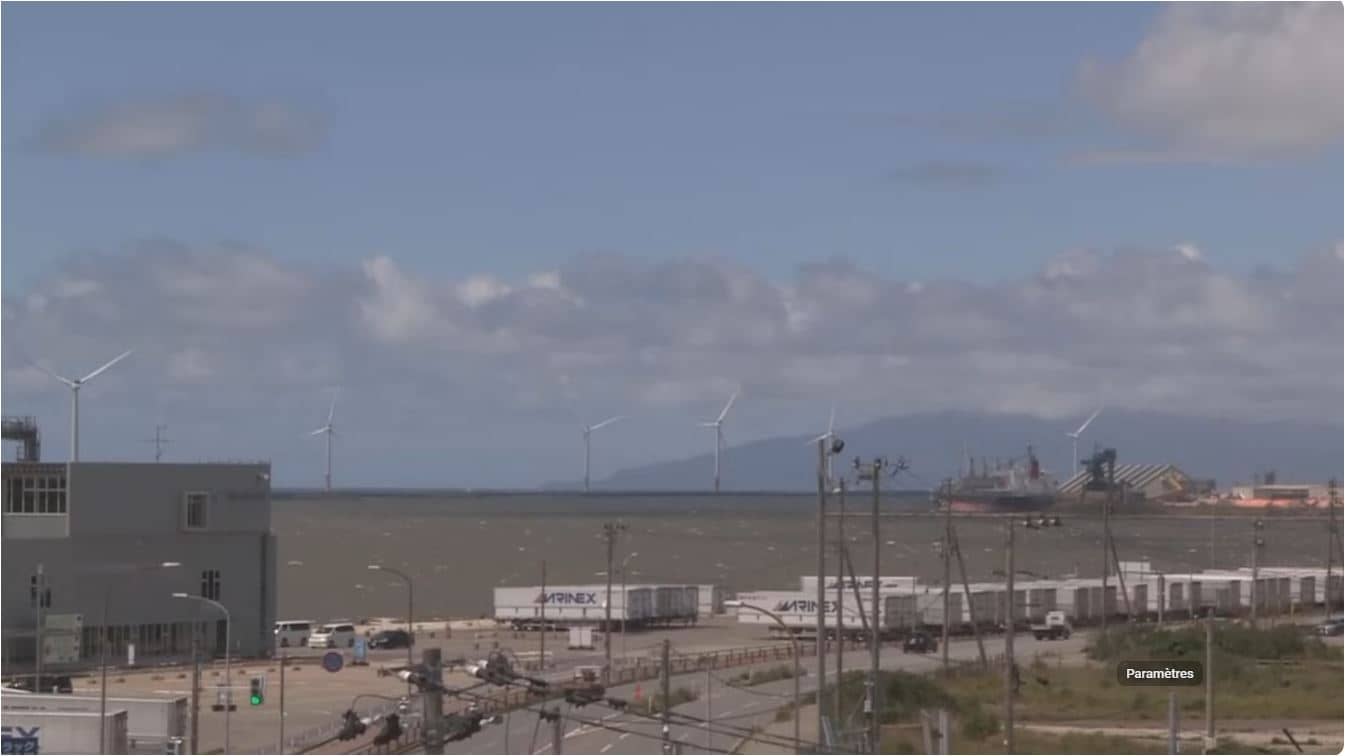
Akita, Japan — 118 km
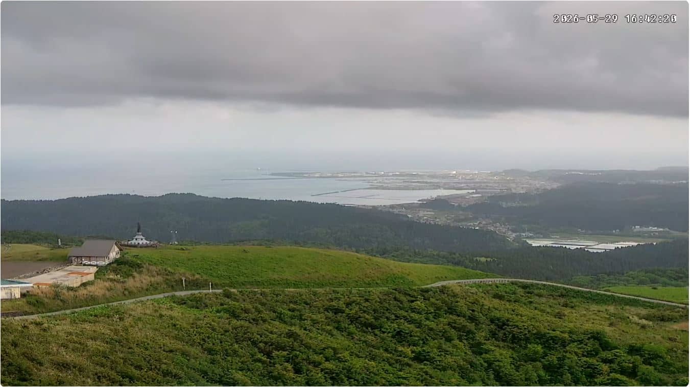
Akita, Japan — 141 km
Fukushima, Japan — 162 km
The current weather and a three-day forecast for Funagata are shown in the live block on this page, updated as the data refreshes.
The local time in Funagata, Japan, is displayed on this page and follows Japan Standard Time.
The camera is located in Funagata in Yamagata Prefecture, northern Japan. Its coordinates are shown on the map on this page.
Daylight hours give the clearest picture of the river and bridge, and winter snow often makes the view especially striking.
Partner links: we may earn a commission at no extra cost to you.