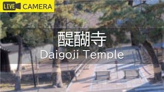
Fukuchiyama - 【LIVE】京都 醍醐寺ライブ中継カメラ/Daigoji Temple, Kyoto
Kyoto, Japan — 15 km
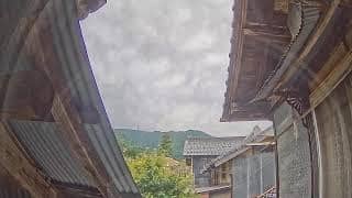
Tamba - 岩屋山パラグライダーテイクオフ場(丹波市青垣町)
🇯🇵 Hyogo · Japan — Altitude 126 m
This live camera overlooks the paraglider take-off area on Iwaya-san in Tamba city, Hyogo Prefecture. It is a useful window for anyone curious about flying conditions in the hills north of Osaka and Kobe. The live player, local time and weather are all shown on this page.
Tamba sits in the inland hills of Hyogo Prefecture, north-east of Kobe and Osaka, in an area of forested ridges, farmland and old rural towns. Aoggaki, the district where the take-off site lies, is known for its open slopes and steady hill winds, which is why it has become a recognised spot for paragliding in western Japan. The landscape is quiet and green, far from the big city crowds.
The stream is aimed at the take-off area, so you may see pilots preparing their wings and launching when conditions allow. Activity is usually greatest on clear mornings and on weekends, while overcast or windless days can be very quiet. Seasonal changes are striking, from fresh spring greens to autumn colours on the surrounding hills. Check the live weather block before you watch, since wind and cloud shape what happens on the slope.
Tamba has a humid subtropical climate with hot, rainy summers and cooler, drier winters. Spring and autumn are generally the most pleasant seasons for visiting the hills. Tamba is reached by train from Osaka or Kobe, followed by a short bus or taxi ride into the countryside. Nearby cameras include Fukuchiyama and the Daigoji Temple view in Kyoto, both within reach for a wider look at the region.
Visitors interested in the area can combine a look at the camera with a wider trip through Hyogo's countryside. The Tamba region is also associated with chestnuts and rural crafts, though details vary by season and village.
Source: CamStreamer
Kyoto, Japan — 15 km

Niigata, Japan — 39 km
Hyogo, Japan — 64 km
Hyogo, Japan — 64 km
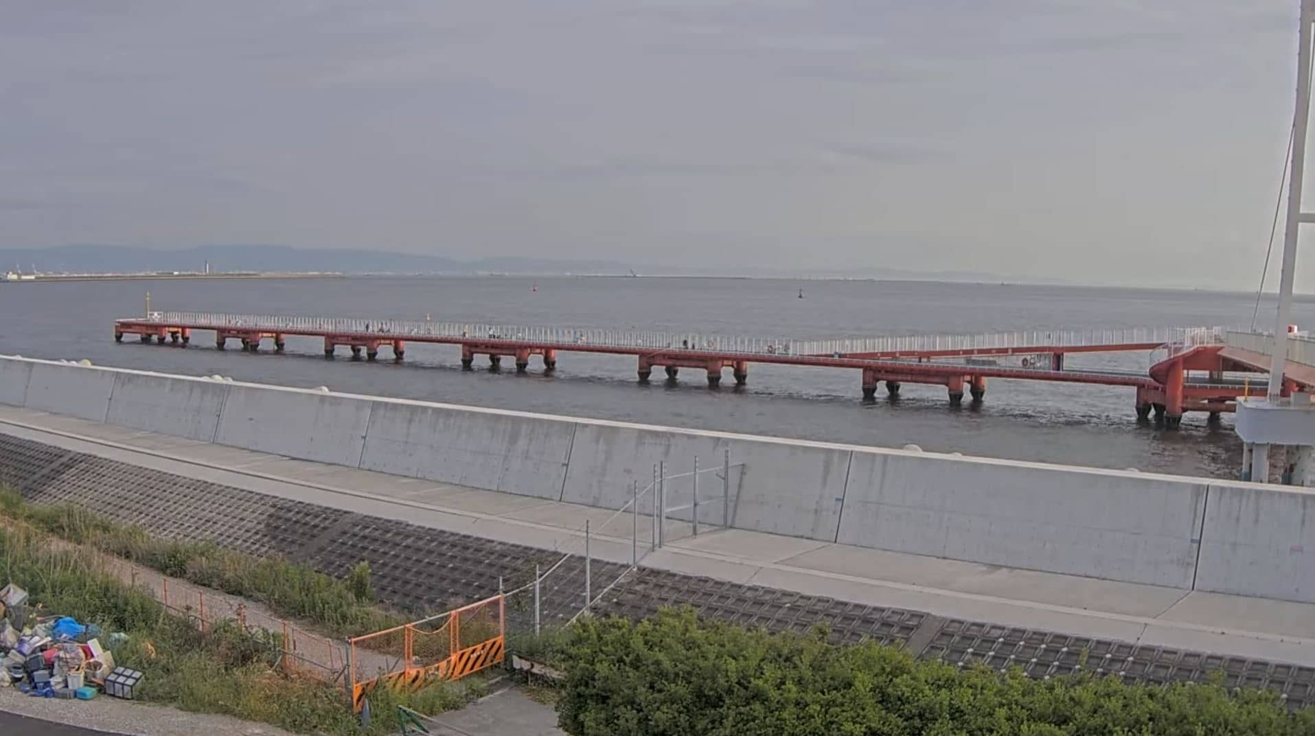
Hyogo, Japan — 70 km
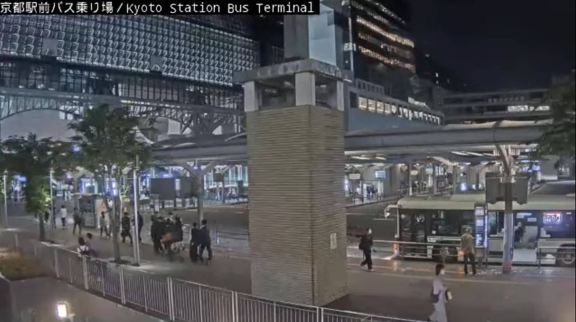
Kyoto, Japan — 73 km

Kyoto, Japan — 75 km
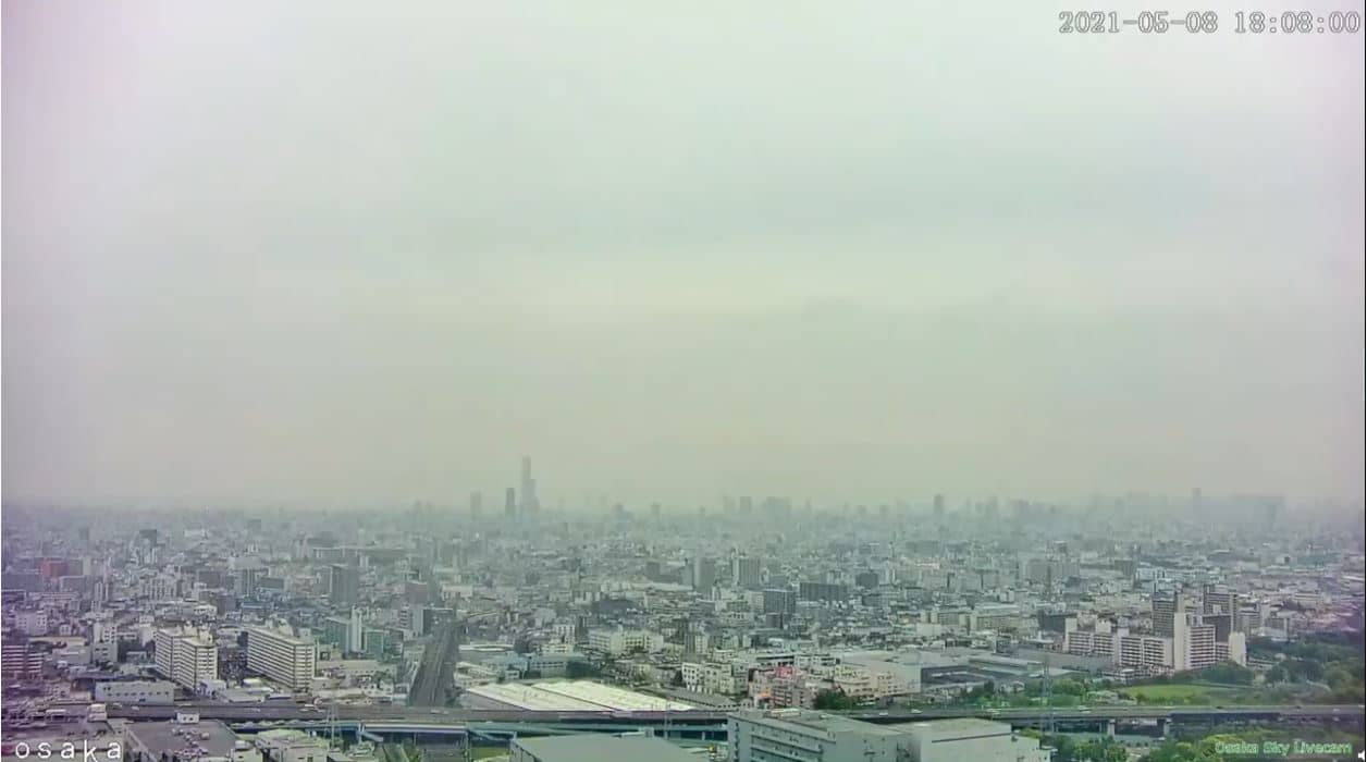
Hyogo, Japan — 76 km
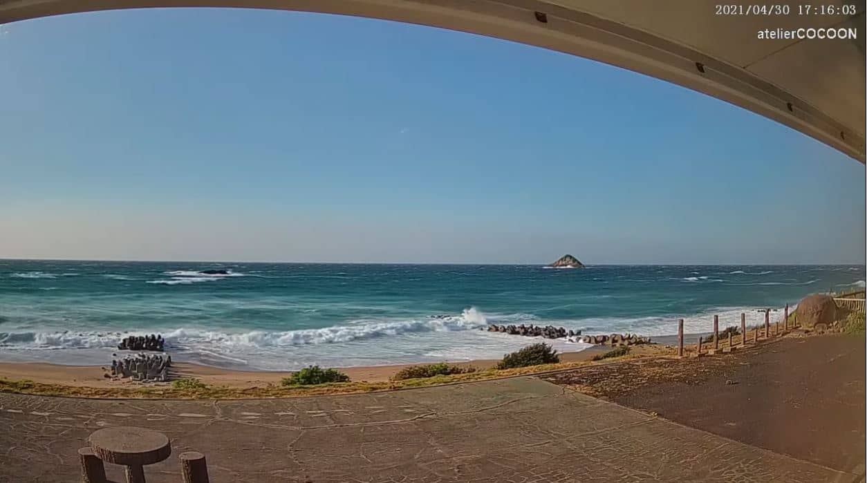
Okayama, Japan — 78 km
Osaka, Japan — 85 km
The current conditions and a 3-day forecast are shown in the live weather block on this page, so you can check wind and cloud before watching the take-off area.
The local time for Tamba, Japan is displayed live on this page, so you can see whether it is a good moment to watch pilots take off.
The camera is located at the Iwaya-san paraglider take-off site in Tamba city, Hyogo Prefecture, at about 126 metres altitude. The map on this page marks its exact position.
Clear mornings and weekends tend to bring the most activity, while calm or cloudy days are quieter. Check the live weather to plan your viewing.
Partner links: we may earn a commission at no extra cost to you.