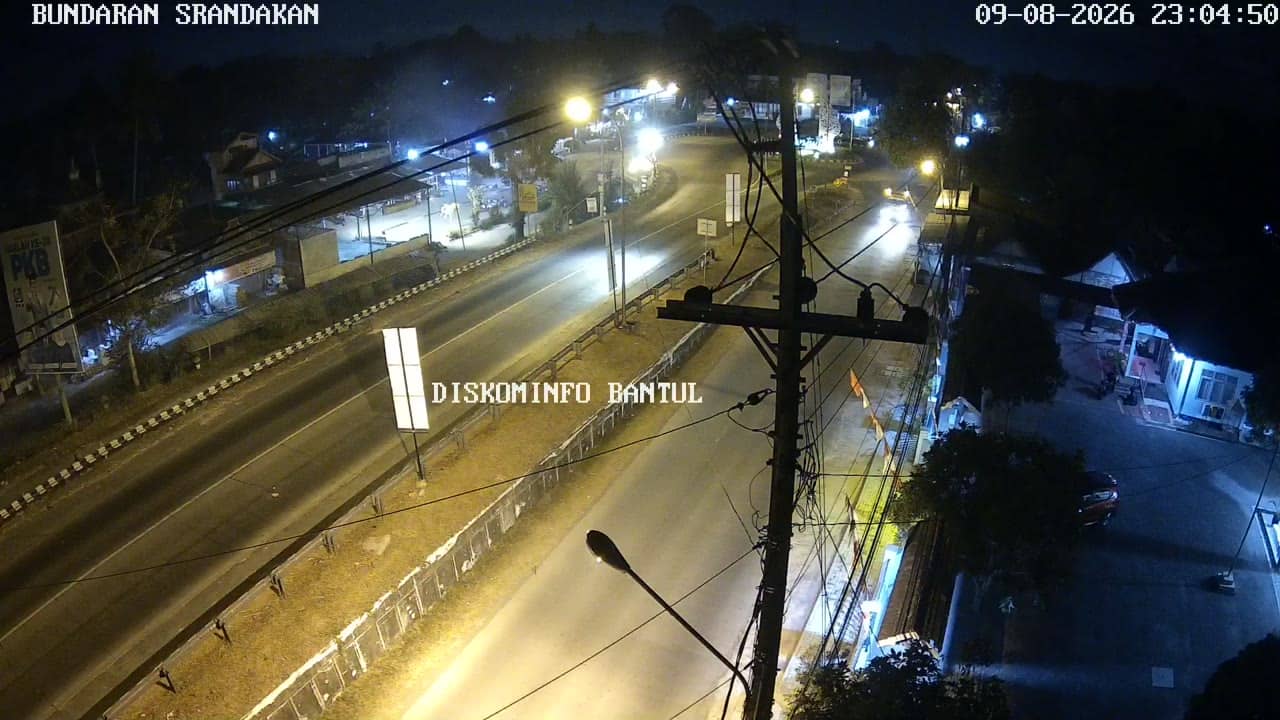
Bantul - BunderanSrandakan
Yogyakarta, Indonesia — 1.4 km
The camera is temporarily offline
The owner's stream is not available right now. Try again later or watch a camera nearby.
Bantul - Brosot
🇮🇩 Yogyakarta · Indonesia — Altitude 16 m
This live stream follows traffic at Brosot in Bantul, a regency just south of the city of Yogyakarta on the island of Java. It is useful for anyone wanting to see how busy the road is before travelling in this part of the region. The page also shows local time and the weather for Bantul.
Bantul lies in the Special Region of Yogyakarta, south of the old royal city and close to the Indian Ocean coast. The area is mainly agricultural, with rice fields, villages and a growing number of roads linking the city to the south coast beaches. Brosot sits on the routes that carry local commuters and goods between these communities. The land is low and flat, at roughly 16 metres above sea level.
The camera is listed under traffic, so it is intended to show vehicles moving along the road rather than scenery. Depending on the view, you may see motorbikes, cars, buses and trucks. Activity usually peaks in the morning and late afternoon when people travel to and from work and school. Midday and late evening tend to be quieter. Rain can slow traffic noticeably, which is worth watching if you are planning a trip.
Yogyakarta has a tropical climate, warm all year with a wetter season from roughly November to March and a drier season from May to September. The drier months are generally the most comfortable for travel. Nearby cameras on this site include Bunderan Srandakan, about 1 km away, and Srandakan Barat, Srandakan and Srandakan Timur, each around 4 km away, which help you compare conditions along the same stretch of coast road.
Source: cctv.jogjaprov.go.id
Yogyakarta, Indonesia — 1.4 km
Yogyakarta, Indonesia — 4.4 km

Yogyakarta, Indonesia — 4.4 km
Yogyakarta, Indonesia — 4.4 km
Yogyakarta, Indonesia — 6.9 km
Yogyakarta, Indonesia — 10 km
Yogyakarta, Indonesia — 10 km
Yogyakarta, Indonesia — 11 km
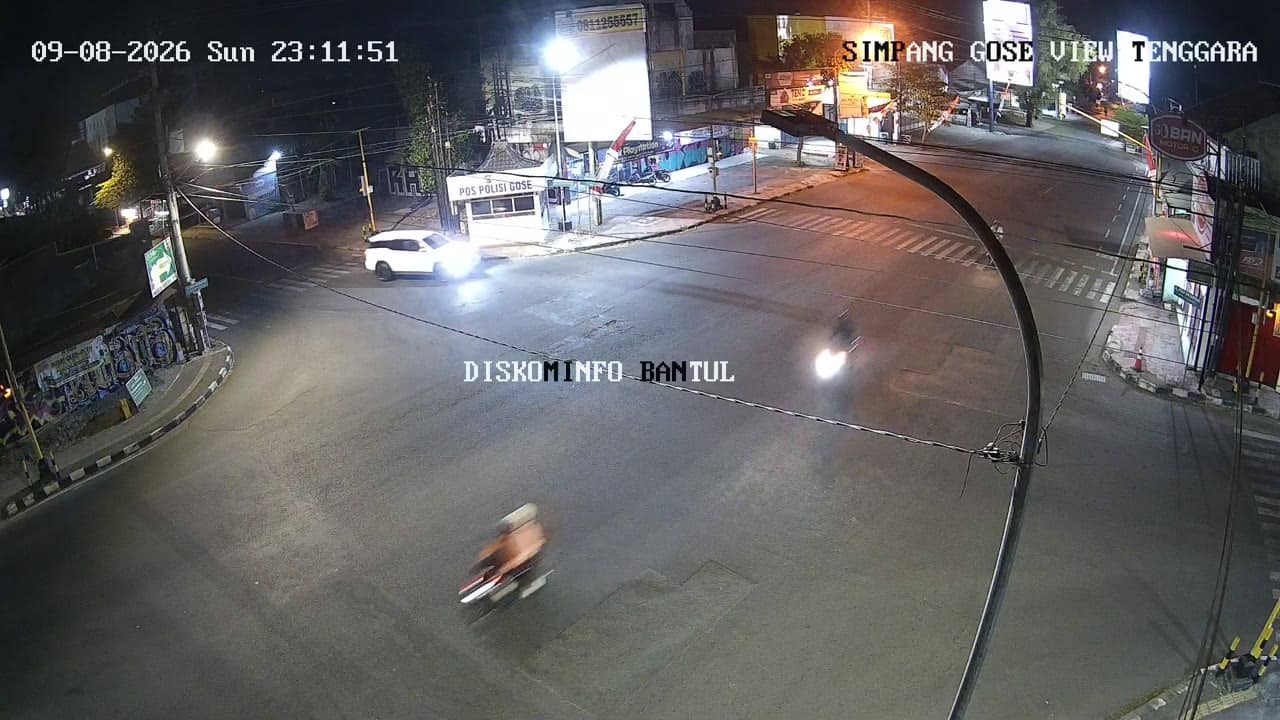
Yogyakarta, Indonesia — 11 km
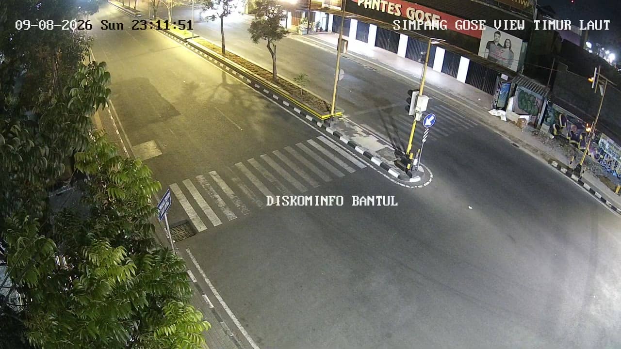
Yogyakarta, Indonesia — 12 km
The current conditions and a three-day forecast for Bantul are shown in the weather block on this page. They update automatically, so check there for the latest temperature and rain.
The local time for Bantul is displayed on this page. Indonesia uses several time zones, and Yogyakarta follows western Indonesian time.
The camera is at Brosot in Bantul, a regency just south of Yogyakarta city on Java. The map on this page marks its position so you can see the surrounding roads.
Weekday mornings and late afternoons usually show the heaviest traffic. Check the page at those times if you want to see the road at its busiest.
Partner links: we may earn a commission at no extra cost to you.