
Gunungkidul - S4GadingTimur
Yogyakarta, Indonesia — 0 km
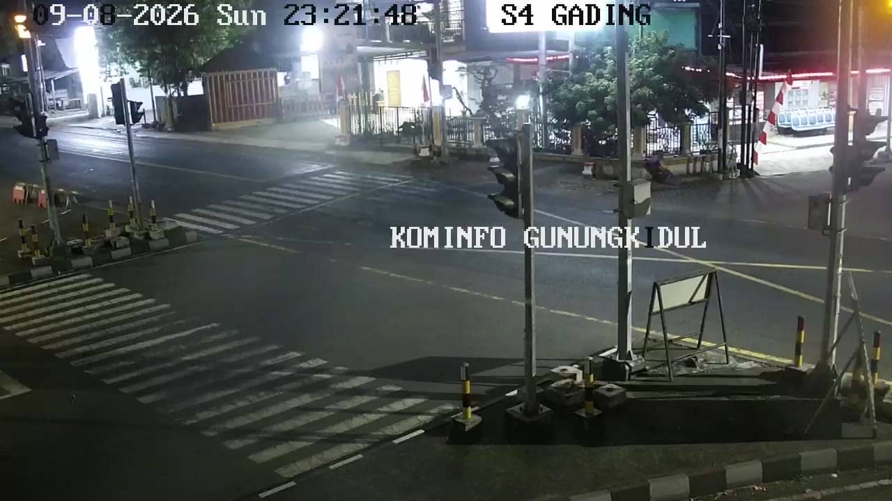
The camera is temporarily offline
The owner's stream is not available right now. Try again later or watch a camera nearby.
Gunungkidul - S4GadingPTZ
🇮🇩 Yogyakarta · Indonesia — Altitude 214 m
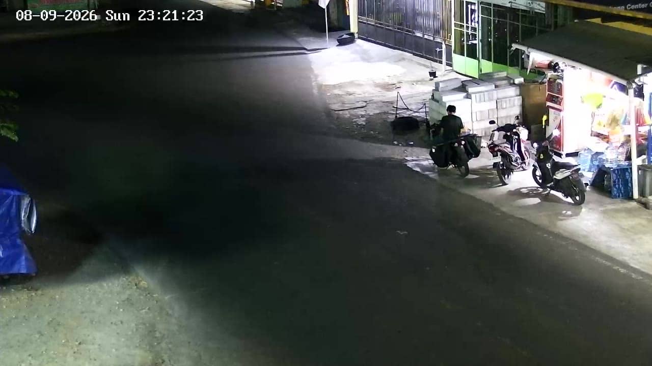
This live stream from Gunungkidul, a regency south-east of Yogyakarta on Java, is a traffic camera on the S4 Gading PTZ position. It lets you check road conditions in real time before you travel. The page also shows local time and the current weather for the area.
Gunungkidul is a regency in the Special Region of Yogyakarta, on the southern side of the province, stretching toward the Indian Ocean coast. Much of the land is karst, with limestone hills, dry plateaus and caves, a landscape that shapes both farming and local roads. The city of Yogyakarta lies to the north-west and is the main reference point for travellers heading into the regency.
As a traffic camera, the feed is aimed at the road rather than scenery, so you can judge traffic flow, congestion and general conditions. You may see most activity during the morning and late afternoon commute, and during public holidays when many people travel south toward the coast. Visibility will depend on weather and time of day, and the stream is a live feed from its owner.
The area has a tropical climate with a wet season from roughly November to March and a drier period from April to October. Heavy rain can slow traffic on hill roads. Nearby cameras on the same network are Gading Timur, Gading Selatan, Gading Utara and Gading Dome, which can help you compare conditions along the route.
Source: cctv.jogjaprov.go.id
Yogyakarta, Indonesia — 0 km
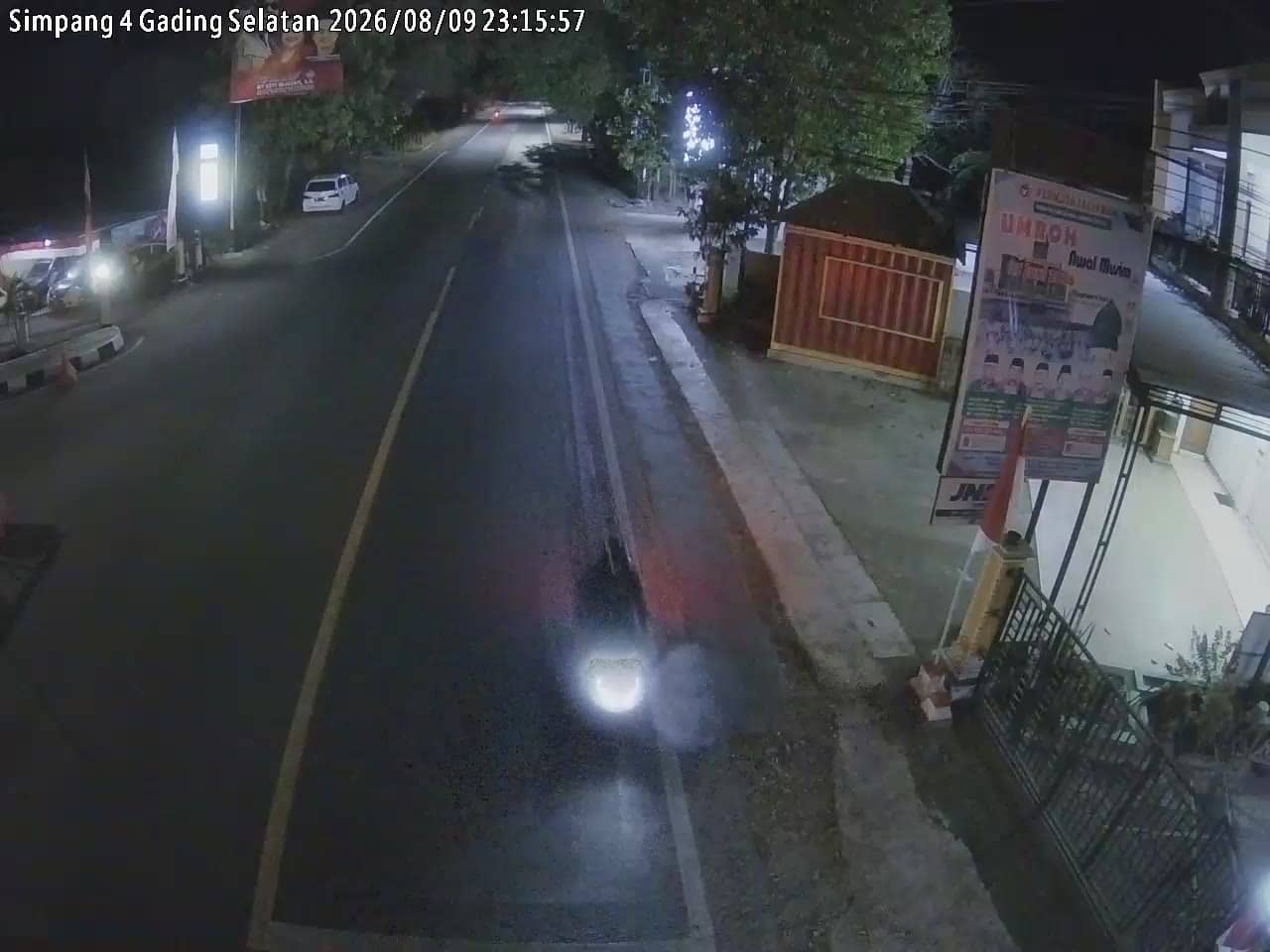
Yogyakarta, Indonesia — 0 km
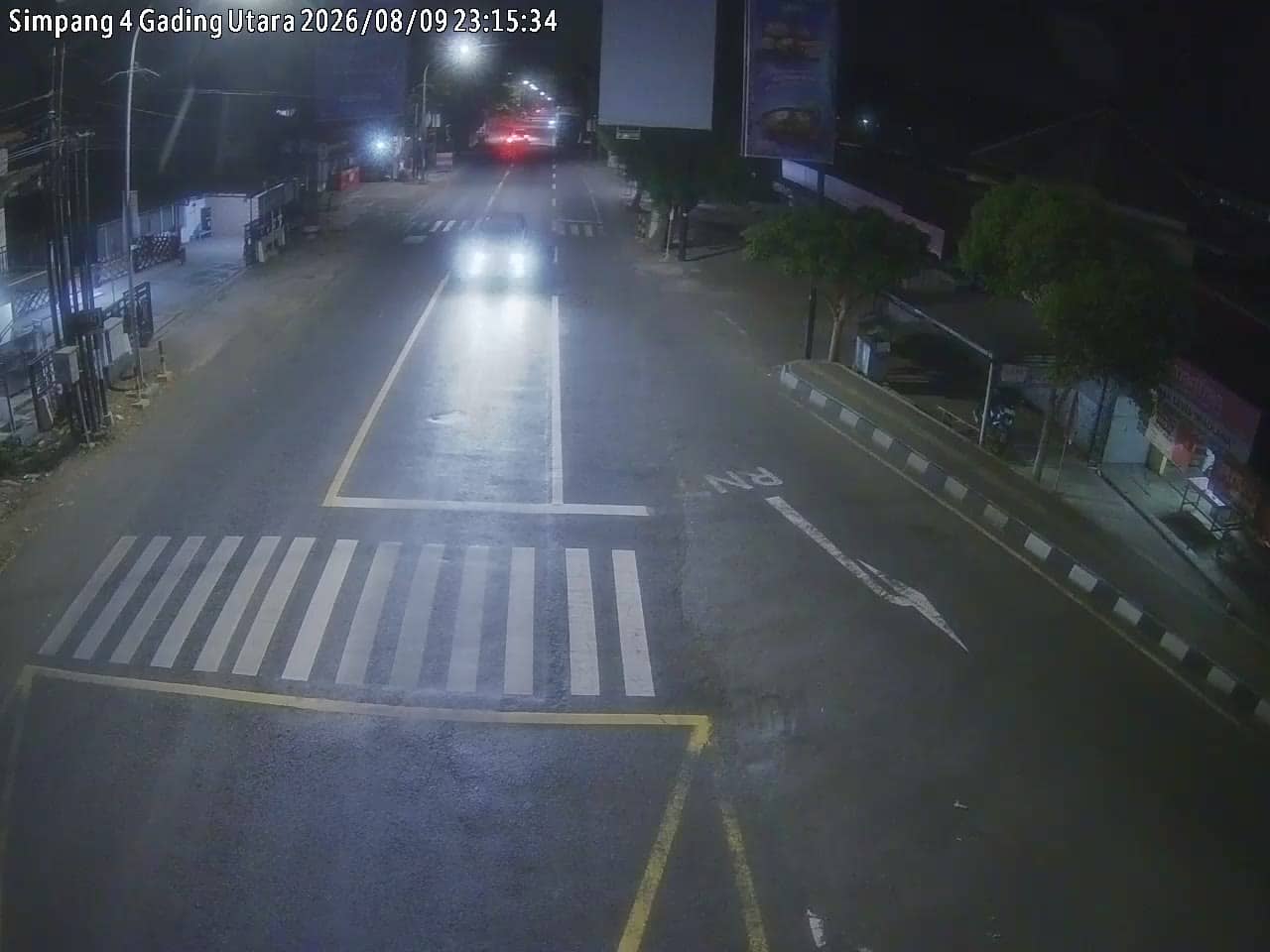
Yogyakarta, Indonesia — 0 km
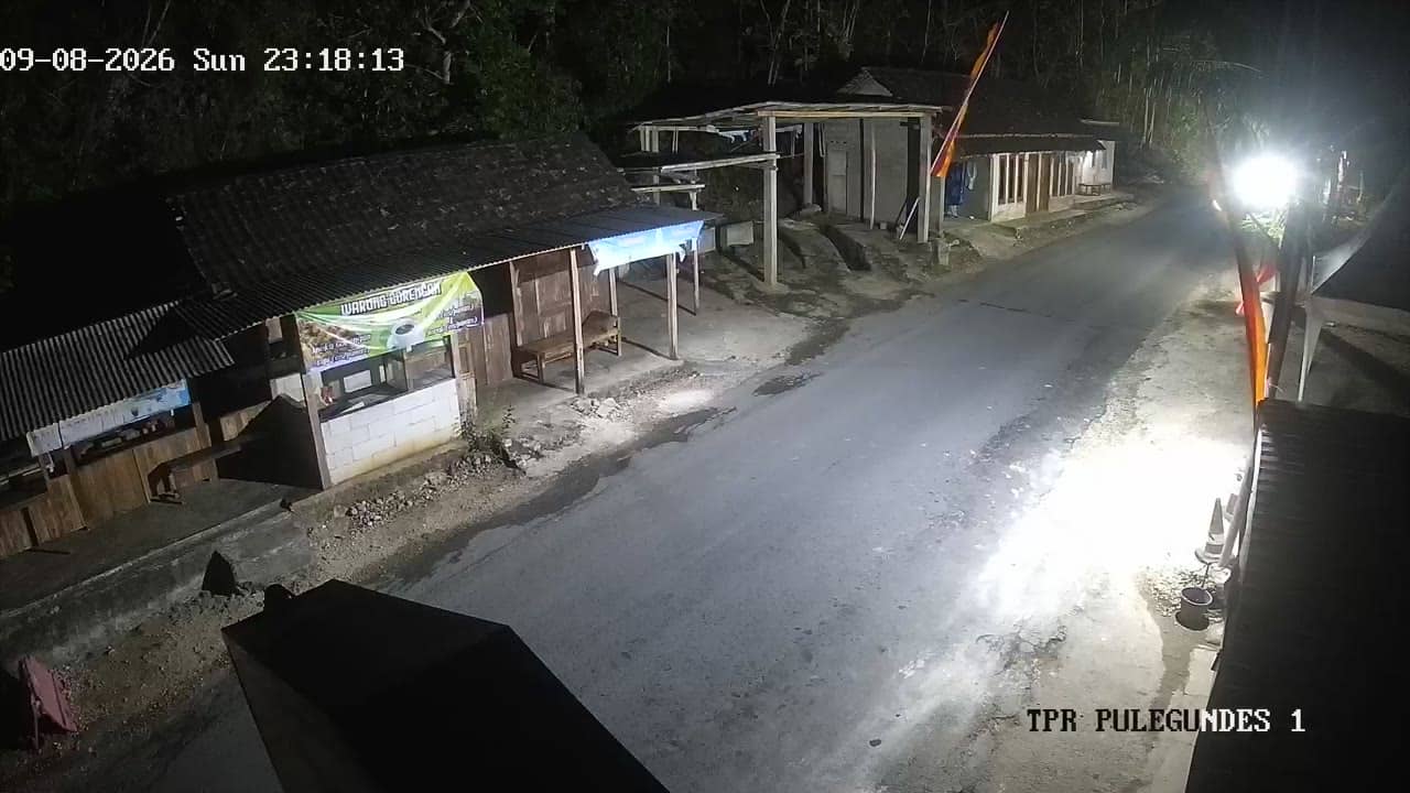
Yogyakarta, Indonesia — 0.4 km
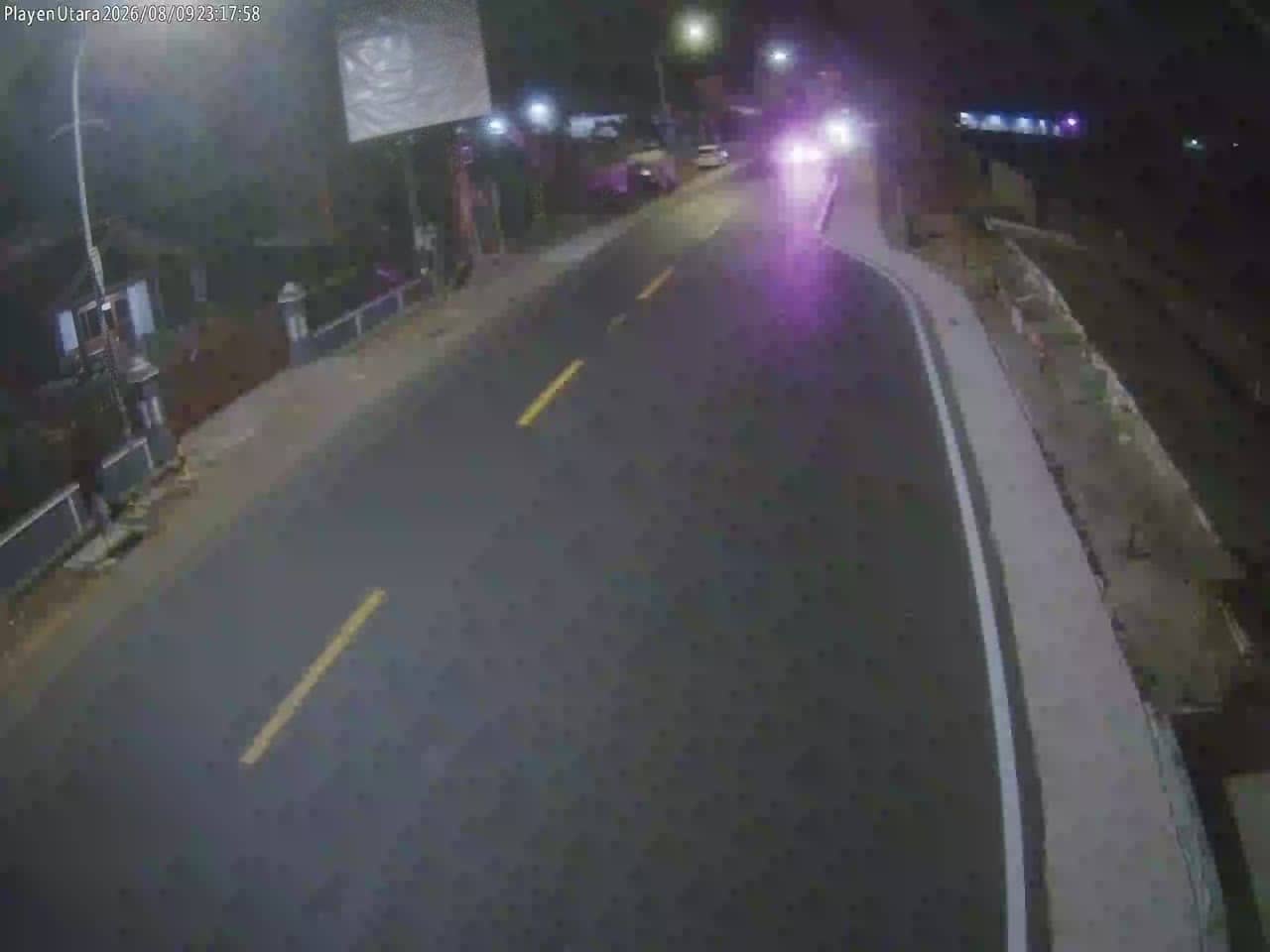
Yogyakarta, Indonesia — 0.4 km
Yogyakarta, Indonesia — 0.4 km
Yogyakarta, Indonesia — 1 km
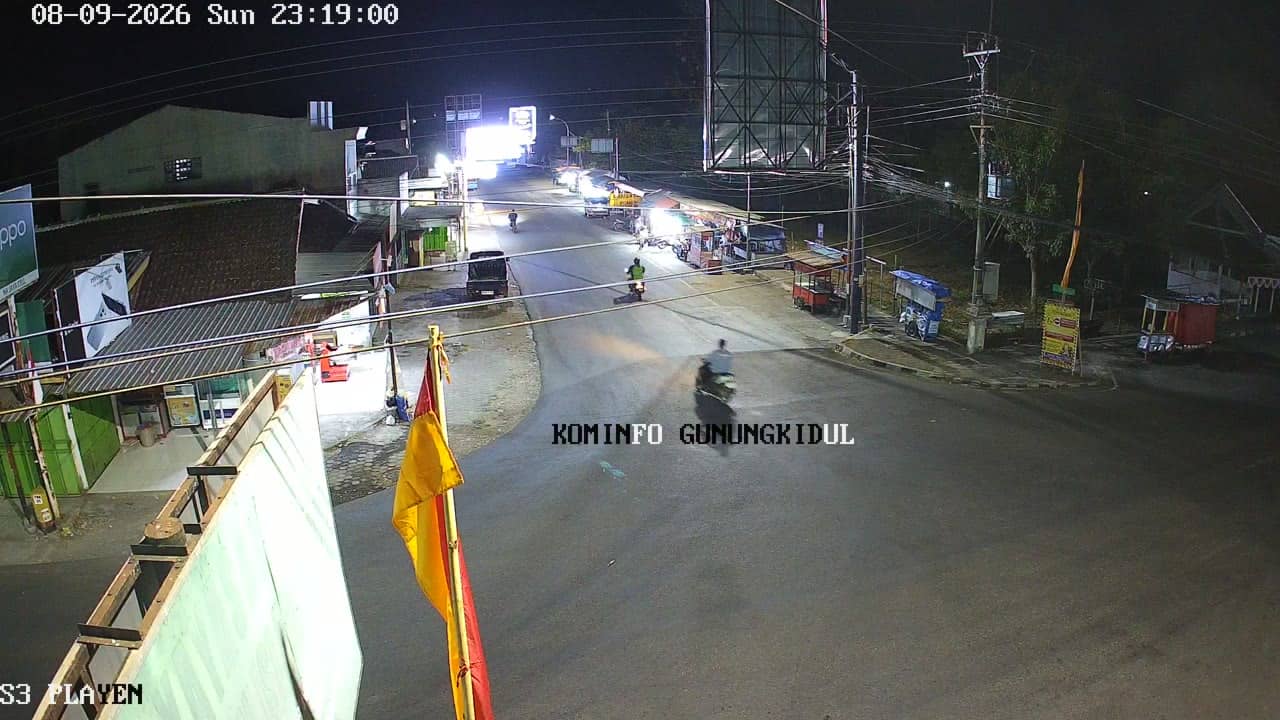
Yogyakarta, Indonesia — 3.3 km
Yogyakarta, Indonesia — 3.3 km
Yogyakarta, Indonesia — 3.4 km
The current weather and a three-day forecast for Gunungkidul are shown in the live block on this page and update automatically.
The local time for Gunungkidul, which follows Western Indonesia Time, is shown on this page and updates live.
The camera is in Gunungkidul regency, Yogyakarta, at approximately 7.91 degrees south and 110.56 degrees east, at about 214 metres above sea level. The map on the page marks its location.
Watching during the morning and late afternoon commute gives the clearest picture of traffic activity. Check the weather block first, since rain can reduce visibility.
Partner links: we may earn a commission at no extra cost to you.