
Gunungkidul - SMP3Wonosari
Yogyakarta, Indonesia — 1.7 km
The camera is temporarily offline
The owner's stream is not available right now. Try again later or watch a camera nearby.
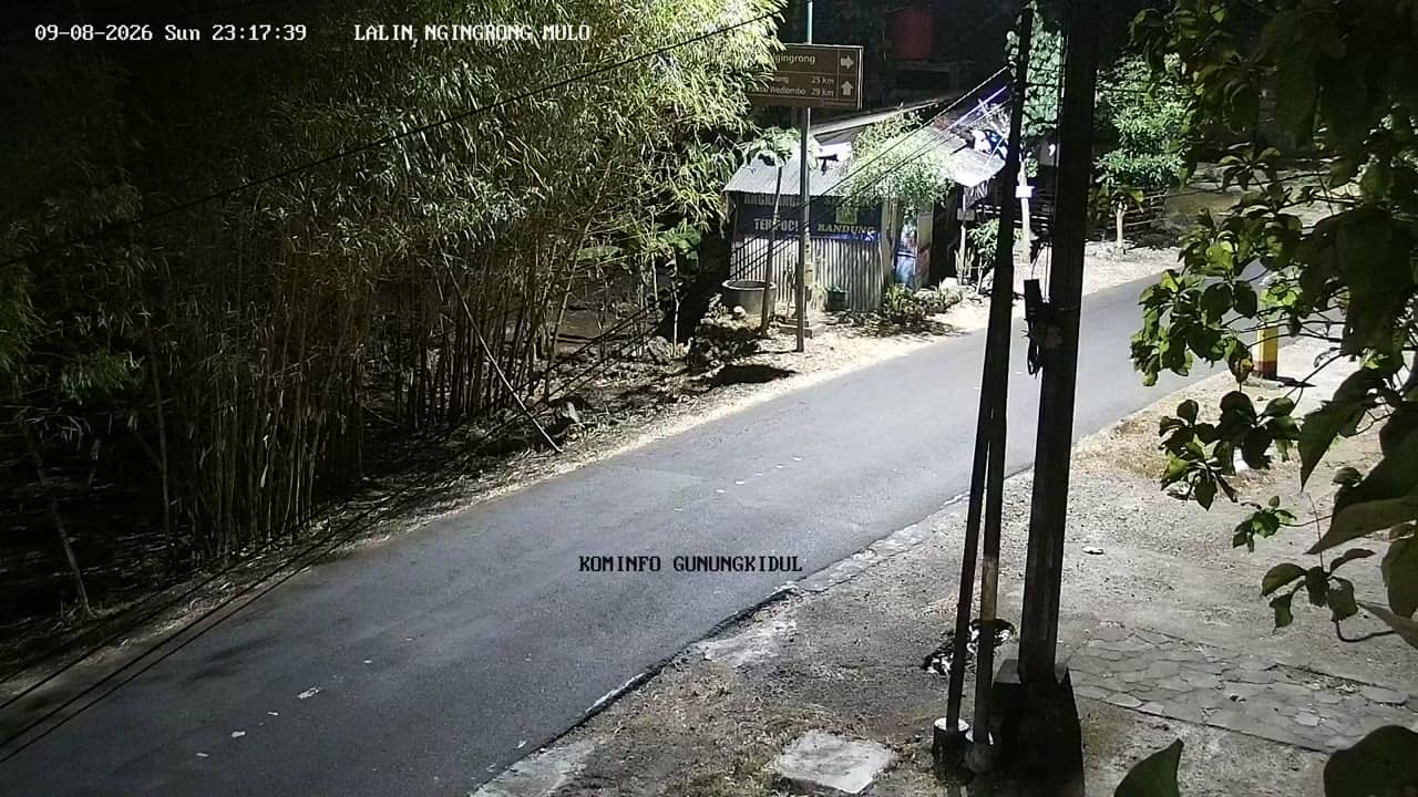
Gunungkidul - NgingrongMulo
🇮🇩 Yogyakarta · Indonesia — Altitude 145 m
This live stream looks out over Gunungkidul, a regency of hills and limestone terrain in the Special Region of Yogyakarta on the island of Java. It suits anyone curious about daily life in a regional Indonesian town or planning a trip through the Yogyakarta countryside.
Gunungkidul covers a large area south-east of the city of Yogyakarta, where the land rises into karst hills shaped by eroded limestone. The area is known for its dry, rocky landscape, traditional farming, and a string of caves, cliffs and quiet coastline to the south. Wonosari serves as the regional centre, and the surroundings feel markedly more rural than the city to the north-west.
The title points to a view of NgingrongMulo, a local spot in the district, but the picture itself is not described here. Depending on the framing, you may see roads, rooftops, trees and everyday movement typical of a small upland town. Mornings and late afternoons are usually the most pleasant times to watch, when light is softer and activity is at its peak.
Yogyakarta has a tropical climate with a wet season from roughly November to March and a drier period from April to October. Gunungkidul sits at about 145 metres above sea level, so temperatures are a little cooler than on the plains. Nearby cameras in the district include SMP3 Wonosari, SD Karangrejek 2 and two Tegalsari sites, which can help you compare conditions across the area.
Source: cctv.jogjaprov.go.id
Yogyakarta, Indonesia — 1.7 km
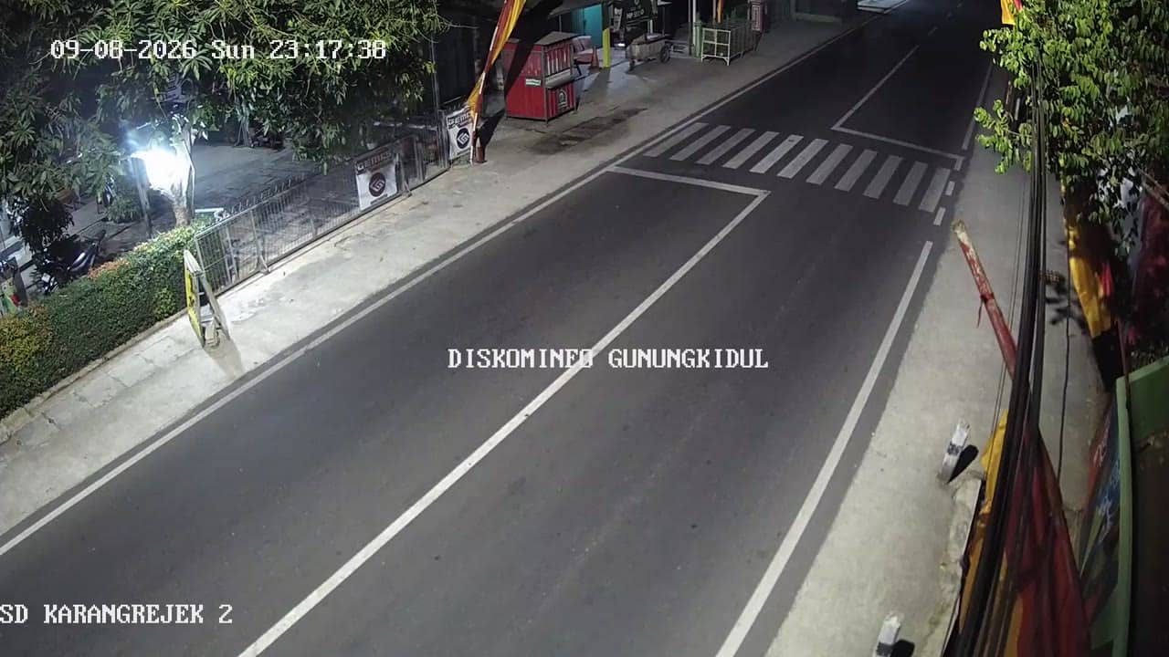
Yogyakarta, Indonesia — 5.4 km
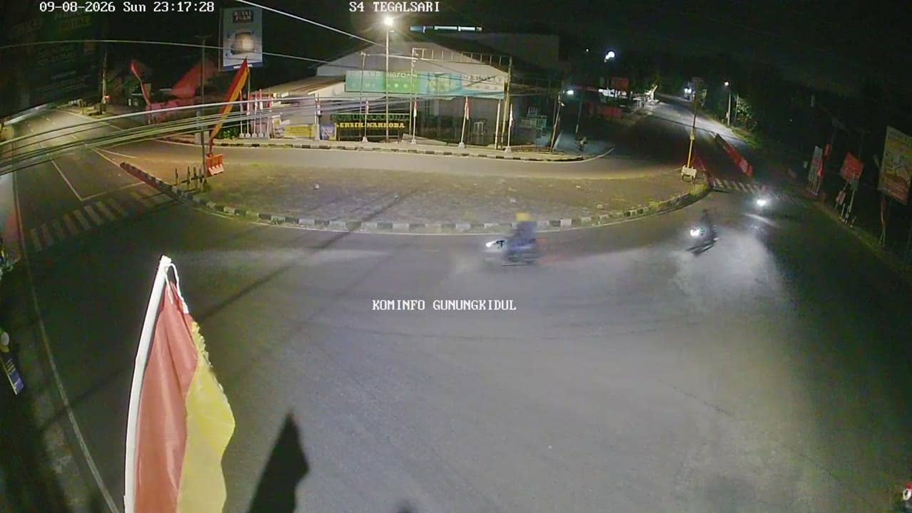
Yogyakarta, Indonesia — 5.9 km

Yogyakarta, Indonesia — 5.9 km
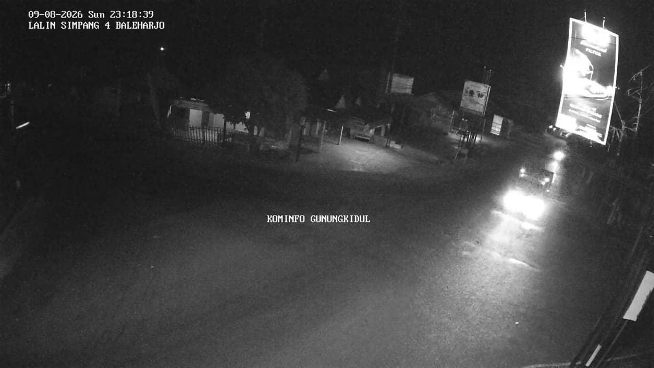
Yogyakarta, Indonesia — 6 km
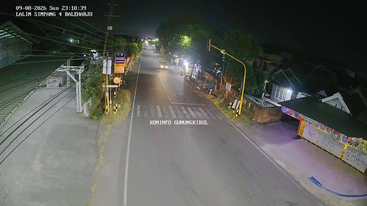
Yogyakarta, Indonesia — 6 km
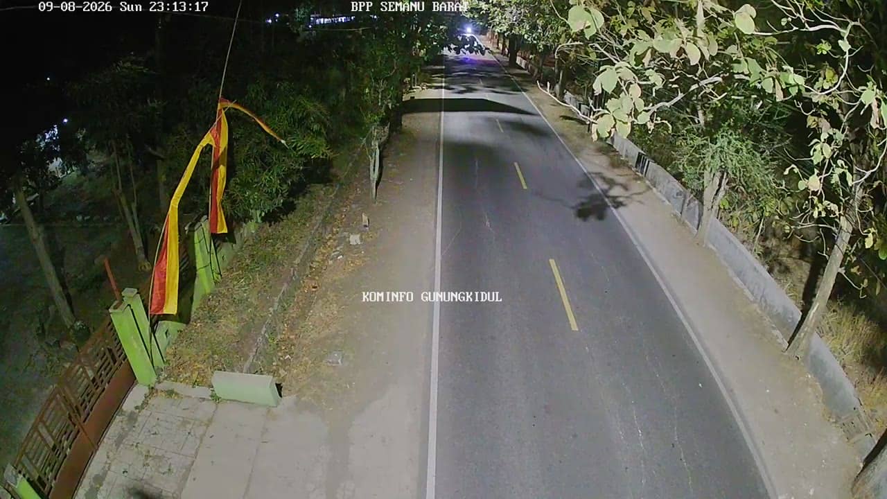
Yogyakarta, Indonesia — 6.2 km
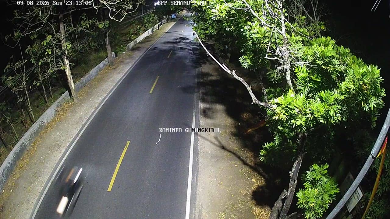
Yogyakarta, Indonesia — 6.2 km

Yogyakarta, Indonesia — 6.4 km

Yogyakarta, Indonesia — 6.4 km
Current conditions and a three-day forecast for Gunungkidul are shown in the weather block on this page. The values update automatically, so you can check them alongside the live stream.
The local time for Gunungkidul is displayed on this page and is updated continuously. Indonesia spans several time zones, and this location follows western Indonesian time.
The camera is in the Gunungkidul regency, south-east of Yogyakarta on Java. A map on this page marks its position at roughly 145 metres altitude, with nearby cameras shown for reference.
Early morning and late afternoon tend to offer the clearest light and the most activity in towns like this. The dry season from April to October is generally better for clear skies.
Partner links: we may earn a commission at no extra cost to you.