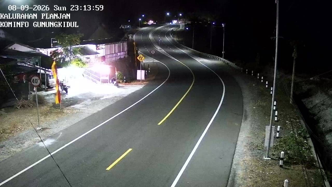
Gunungkidul - KalurahanPlanjan-Fix
Yogyakarta, Indonesia — 1.2 km
The camera is temporarily offline
The owner's stream is not available right now. Try again later or watch a camera nearby.
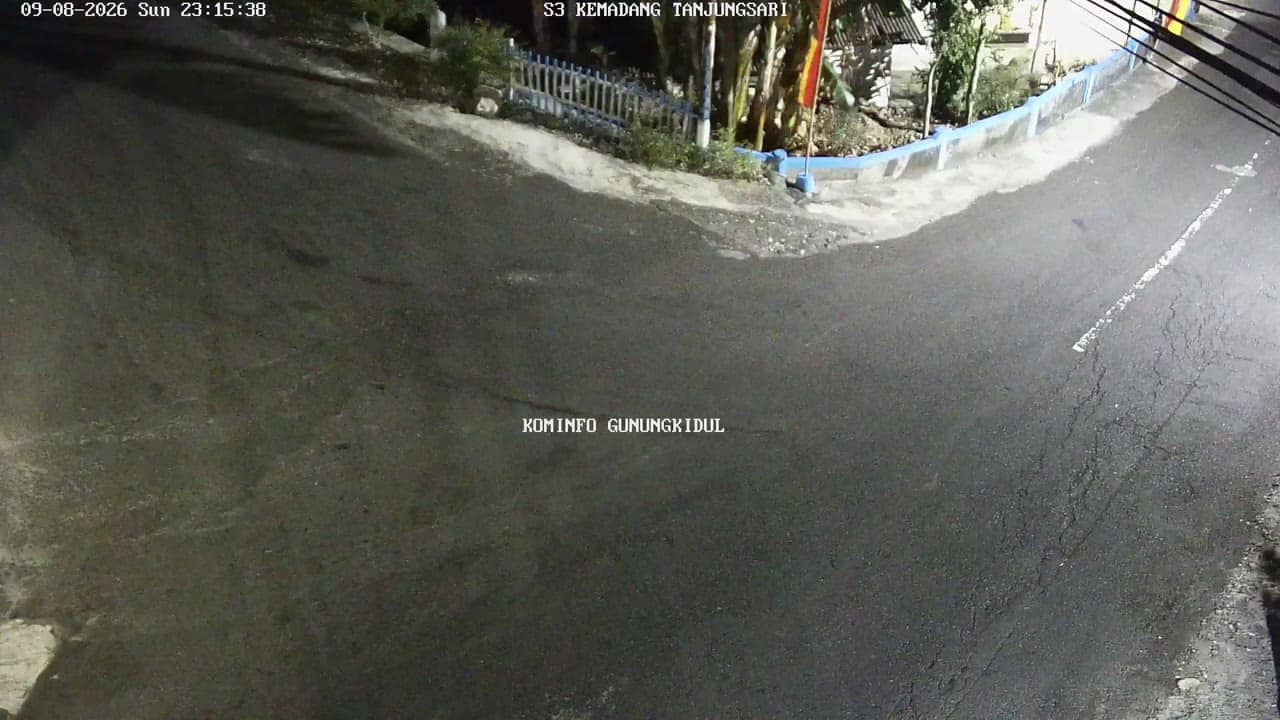
Gunungkidul - PertigaanKemadang
🇮🇩 Yogyakarta · Indonesia — Altitude 145 m
This live stream shows a road junction in Gunungkidul, a regency south-east of Yogyakarta on the island of Java. It is a useful window onto daily traffic and conditions in a region known for its limestone hills and coastline. Watch it to see how the road looks right now before you travel.
Gunungkidul covers a large part of the karst uplands south of Yogyakarta. The landscape is shaped by limestone, with dry plateaus, sinkholes and caves, and a long southern coast facing the Indian Ocean. Villages here are typically spread along quiet roads, and farming, fishing and small-scale tourism shape local life. Kemadang lies in this coastal district and serves as a local junction for travellers heading toward the shore.
The camera is listed as a city junction, so it mainly covers local roads, passing motorbikes, cars and pedestrians rather than a panoramic view. Activity tends to be busiest in the morning and late afternoon, when people commute and head to markets or schools. Rain can change visibility quickly in this part of Java, so the picture is most useful for checking whether the road is clear. Stream quality is listed as HD, and the feed is provided by its owner.
Yogyakarta and its regencies have a tropical climate with a wet season from roughly November to March and a drier period from April to October, which is generally better for travel to the coast. Temperatures stay warm year round. Kemadang is reached by road from Yogyakarta, and nearby cameras in Planjan, Tanjungsari and Pantai Baron offer more views of the surrounding roads and coastal area.
Source: cctv.jogjaprov.go.id
Yogyakarta, Indonesia — 1.2 km
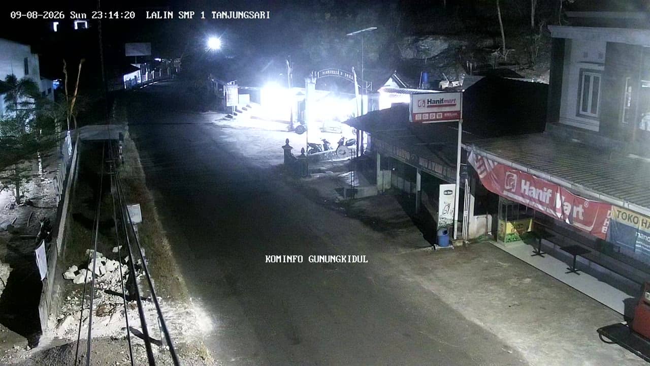
Yogyakarta, Indonesia — 1.3 km
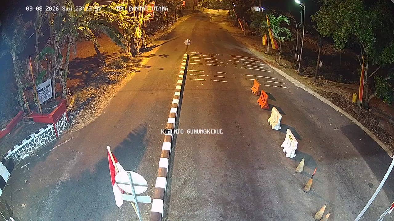
Yogyakarta, Indonesia — 2.7 km
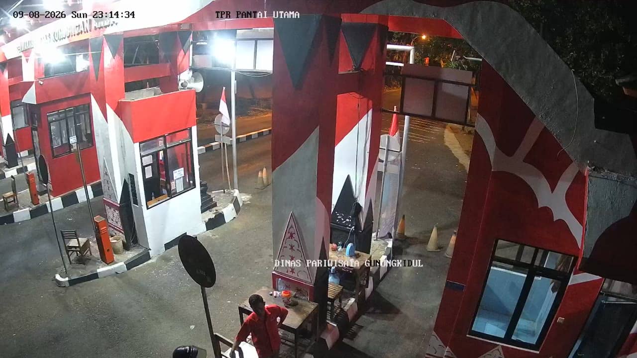
Yogyakarta, Indonesia — 2.7 km
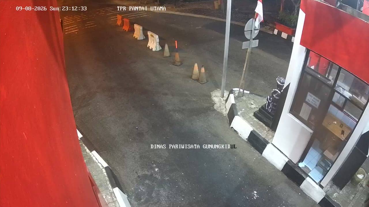
Yogyakarta, Indonesia — 2.7 km

Yogyakarta, Indonesia — 2.9 km

Yogyakarta, Indonesia — 2.9 km

Yogyakarta, Indonesia — 2.9 km
Yogyakarta, Indonesia — 3.5 km
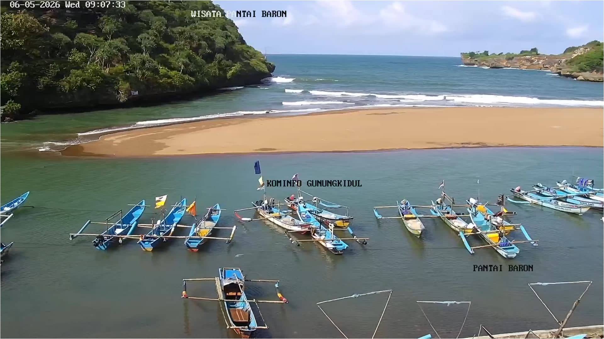
Gunungkidul Regency, Indonesia — 3.5 km
The current weather and a three-day forecast for this location are shown in the live block on this page. They update automatically, so you do not need to check another site.
The local time for this camera is displayed on the page and follows the Indonesian local time used across Java. It updates live alongside the video.
The camera is at a road junction in Kemadang, in the Gunungkidul regency south-east of Yogyakarta, at about 145 metres altitude. The map on the page marks its position.
Morning and late afternoon usually bring the most traffic and activity to a junction like this. Check the weather block as well, since rain can reduce visibility.
Partner links: we may earn a commission at no extra cost to you.